Windy Joe Mountain
March 6, 2016
1843m
Manning Provincial Park, BC
The lowly Windy Joe Mountain is a mere forested bump in the core area of Manning Park, with a historic fire lookout being the only “unique” thing. There’s nothing fancy about this peak as a trail leads from the parking lot all the way (mostly) to the summit. Why I say “mostly” here? Because the true summit actually lies about 400 m south of the lookout and judging by the trip reports most folks do not actually venture up there. The nature of this trip makes a perfect winter objective and its round trip distance (16 km) does make a good day of work-out.
The weather forecast was a total junk for this past weekend except for Avalanche.ca/weather which did accurately predict the brief clearing on Saturday afternoon. Those who insisted going out were likely awarded by some (unexpected) blue skies. My current work schedule no longer allows me to go out on Saturday so I had to take a chance on Sunday’s weather. The only areas without pouring rain were far on the rainshadow side.
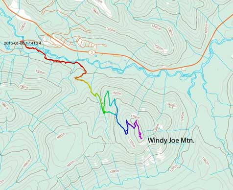
Windy Joe Mountain hiking route. GPX DL
Driving 2.5 hours for some mere exercise wasn’t inspiring and I literally didn’t make up my mind until 9 am in the morning. I figured it’s either wasting a day at home (likely procrastinating a whole day on Internet like I usually do) or bagging a dumpster peak with likely nothing in terms of views. In the end my summit fever took over and I decided to take my mom out too, so out eastwards for 210 km we went into Manning Park, and then it’s actually mostly sunny out there… After quickly gearing up we correctly located the well used Windy Joe/PCT trail. The first 2 km was mostly flat alongside Similkameen River and other than a few dead falls it was cruise sailing.
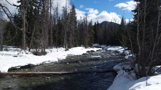
The thawing Similkameen River
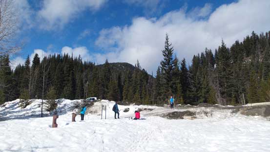
Looking back at the start
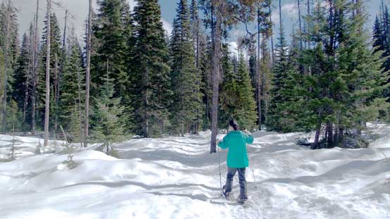
The initial plod along Windy Joe trail
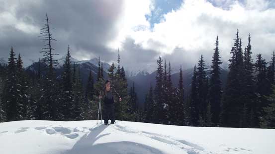
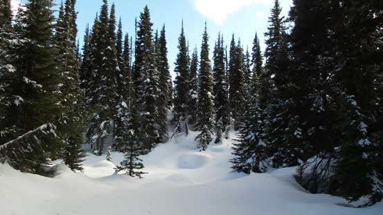
And then we picked up the old communication road and I had to say that this road was bad… It’s more like a “trail” and even so, there were at least 20 if not 30 dead falls. Thank to the thick snowpack we could easily step over most of them but a few still required some detouring. It was also very boring and about halfway up a snow storm blew in but thankfully passed as we got close to the summit. The post-holing would have been horrendous without the broken trail in the classic “west coast cement” or the “mash potato”. Even with a trail I still had to do some work as it was a bit too narrow for my 30′ snowshoes… But nonetheless we made good on time.
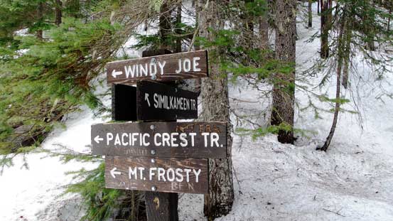
The first signed junction
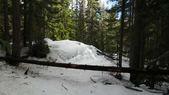
Lots of dead-falls…
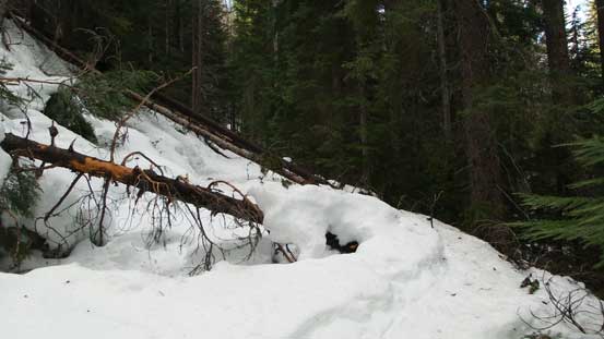
More dead-falls….

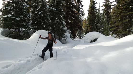
Plodding up the road/trail

Gaining height gradually.
The trail was massive… Thankfully there’s a set of tracks…
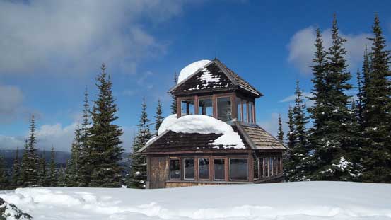
Finally arriving at the fire lookout
Mom arriving at the false summit
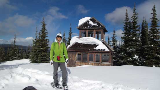
Me on the false summit (the fire lookout)
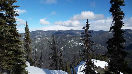
A look towards east
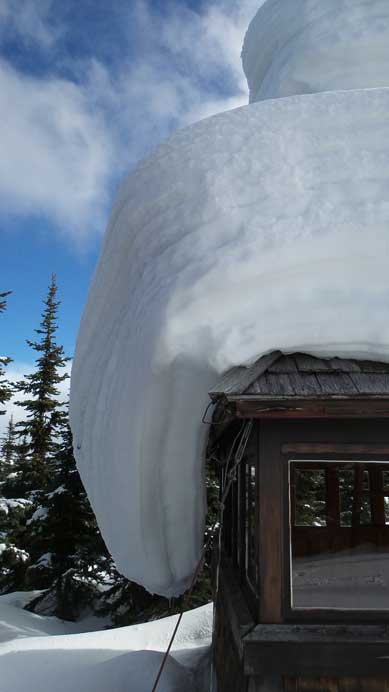
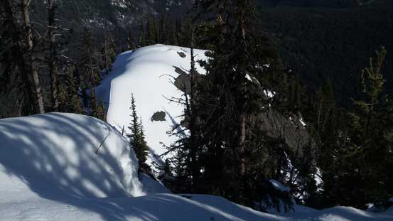
A gigantic cornice on the roof
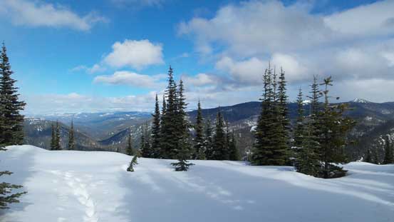
The old fire lookout was definitely worth to check out with some interesting geology background on the second floor. There’s some good explanation of why we could find rocks similar to the Rockies’ type (sedimentary) in this area. But I couldn’t linger too long in the shelter as I still had to traverse over to the true summit, while mom (wisely) opted to take a break. Unlike what’s suggested by the topographic map, there were 2 dips along the connecting ridge and adding the heavy duty trail-breaking it was quite a work-out. But there’s actually more views that what I was expecting and I could get some good glimpse towards giants like Frosty Mountain and Mt. Winthrop.

Inside the fire lookout

More inside the lookout

Heavy duty trail-breaking
Traversing towards the forested true summit..

Looking south down towards Mt. Winthrop in the States
A closer look at Mt. WInthrop
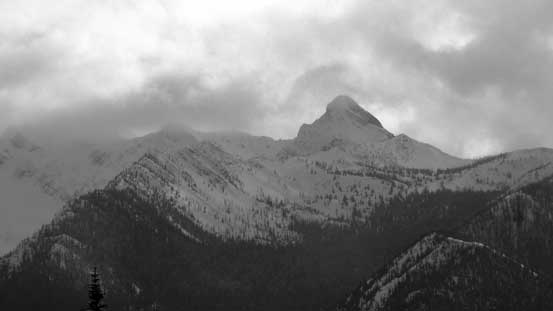
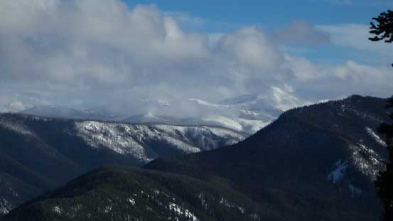
Frosty Mountain is the highest in Manning Park
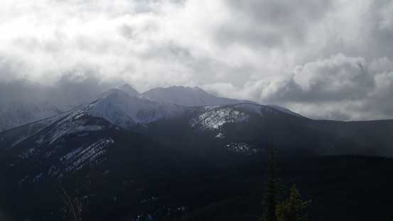
Chuwanten Mountain from the true summit
The south-east side of Windy Joe is a drop-off
Ptarmigan Peak et al. in the North Cascades

Near the true summit
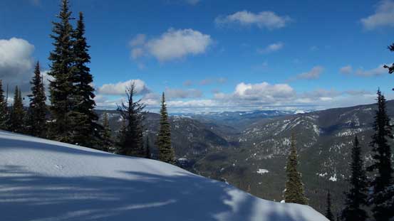
Another look towards north-east along Highway 3 corridor
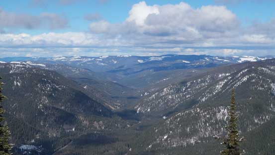
Not really much to see that way except for forested hills
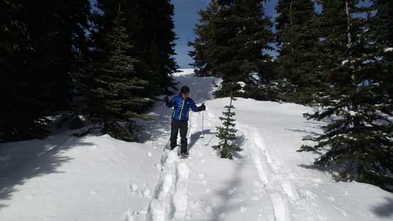
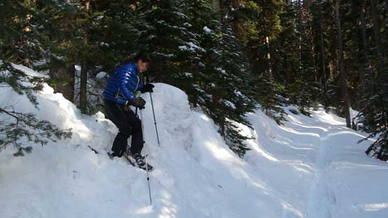
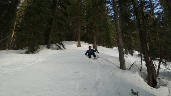
I slowly worked my way back to the false summit (the fire lookout) and before going down I opted for another energy break. Apparently we didn’t bring enough food for this trip as I was expecting a bit of a shorter day, but nonetheless it’s not a long way down. We took two short-cuts following my GPS instead of retracing along the switch-backs and the rest of the return was uneventful.
Time to go down
Short-cutting..

More short-cutting
And, more… It’s quite steep here…
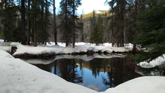
Down to the river flats. Here’s an interesting pond

The same pond
We made back to the parking lot shortly after sunset time and overall this was a much better day than what I was expecting. The weather was mostly sunny instead of the “cloudy with flurries” and there’s actually a few opening areas offering some nice views through the trees. The drive back home was long and tiring though…
