Folding Mountain
March 24, 2012
2117m
Hinton, AB
This March was a bit less than ideal with one storm after another. The snowfall amount had broken the record so probably every mountain in the Rockies would require snowshoes now. Finally, a high pressure ridge moved in and we got a bluebird weekend over the entire western Canada!! Folding Mountain is a somewhat not-so-well-known objective near Hinton, outside Jasper National Park boundary. It receives much less attention than the nearby Roche a Perdrix. Approaching from Edmonton, the trail head is about 15 minutes drive west of Hinton and marked by a huge yellow hiker sign (bigger than your head). It’s also probably the closest mountain one can get to from Edmonton.

Folding Mountain hiking/snowshoeing route. GPX DL
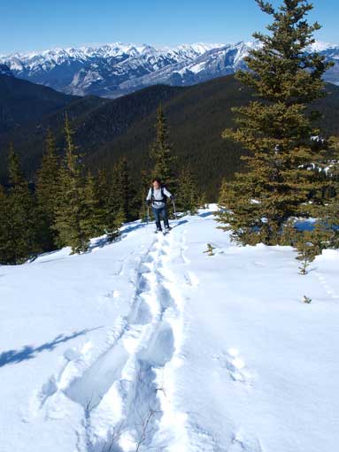
I would say, if you have to do the entire thing on snowshoes, then do NOT underestimate this mountain. It has a fair amount of total elevation gain (1200m?) with a long approach. We were lucky to saw fresh snowshoe tracks at the beginning, only to find it completely disappeared after the first significant elevation gain. I think the folks who made the trail turned back here. They made roughly 1/4 of the way up. Most part of this mountain is forested with lots of up-and-downs. The trail-breaking was a bit tedious and we lost the trail soon. We even saw some cougar tracks (not very sure) near one boulder opening area. I felt nervous when seeing large animal tracks. Good thing we did manage to regain the trail. The trail was very easy to follow despite the snow cover. Near the treeline we got onto a ridge feature with some brief exposure on the left (north) side.

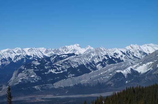
Roche a Perdrix from trail-head

This sign marks the trail-head

Someone just did a bit of trail maintenance
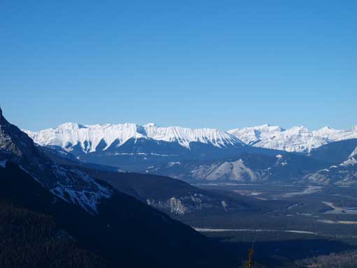
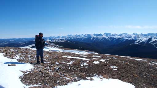
Looking west towards De Smet Range
Mt. Aeolus is the highest out there in Bosche Range
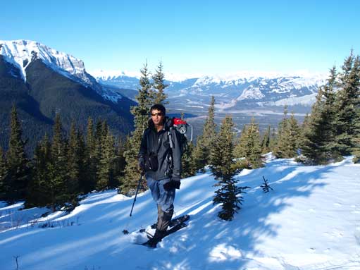
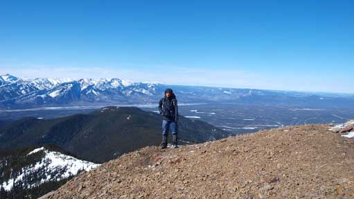
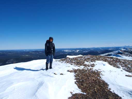
Me on the ridge
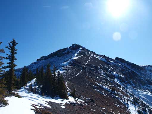
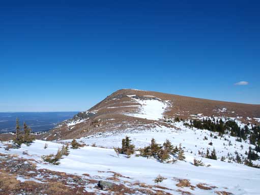
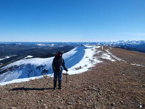
After a long period of slog, we were getting closer to false summit

This gives a good perspective of the ridge towards false summit

We already got excellent view towards the prairie. The long flat “ridge” on right is Cap Ridge
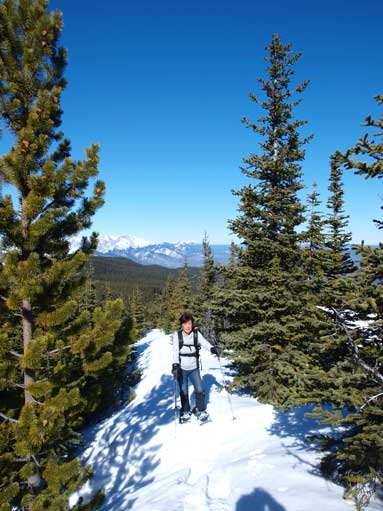
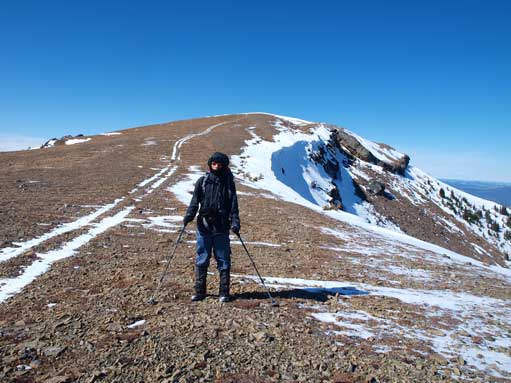
Mom following my tracks up
The last 150m or so elevation gain was on scree and talus. I would say it’s easy scrambling to the summit due to the steep and loose terrain. From the summit, it appeared like I could walk on the ridge all the way to Fiddle Peak without difficulties. Mom was way behind me at this point, so I started the traverse towards Fiddle by myself. However, after dropping down 100 meters or so and regaining elevation to a bump I realized that this traverse could be much longer than appeared. Apparently I wouldn’t have enough time so I turned back. Mom still hadn’t showed up once I got back to the summit of Folding Mountain. I went down to check and found that she stopped just below the steep scree, and she said she couldn’t handle it by herself. I had to help her finding some “solid” footings and it took her forever to get up to the summit. So, like I said before, it’s easy scrambling, not hiking. We explored the ridge leading towards south-east for a while.
Now it’s the true summit
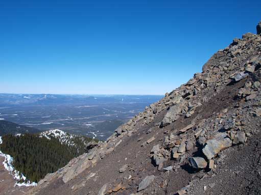
Steep?
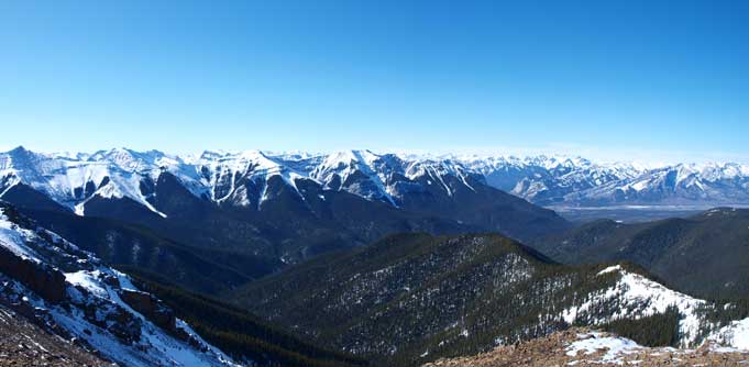
Fiddle Range from the summit
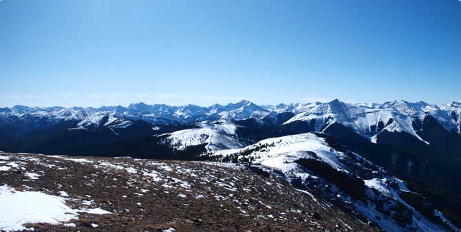
Looking south from the summit. Lots of unnamed peaks

Zooming-in towards the other side of Athabasca River. Boule Roche behind.
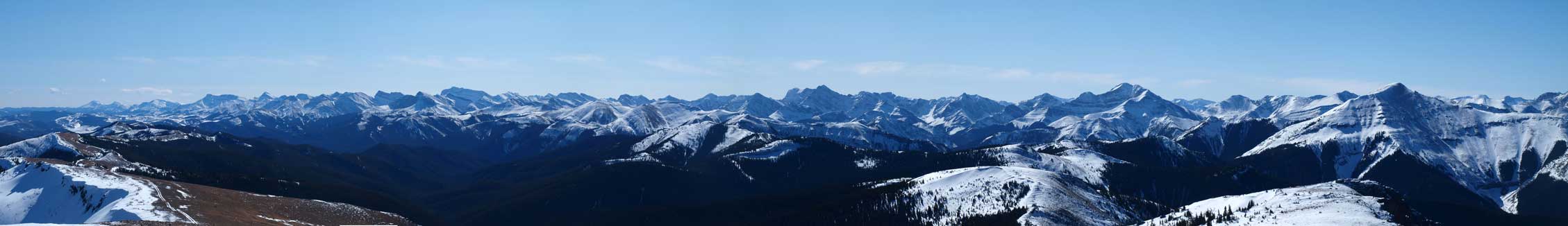
A long zooming-in summit panorama. Click to view large size.

Another panorama looking over Fiddle Range. Click to view large size.
See? I started to traverse towards Fiddle, but turned back shortly after here.

And I made back to the summit. The register was in a bad shape
After helping mom making to the summit, she got quite a few shots of myself. It’s always good to have someone else on the summit.
Me on the summit again
And again.
Now we started to traverse south for a while
And looking back. Note the ATV trail.
The descent was nothing but tedious due to the several uphill sections and our round trip time was about 11 hours. It would be extremely boring if you are alone. On the way driving to Jasper, we stopped at several viewpoints to take advantage of the sunset hours. We got several great shots of Roche Miette, the mountain that I ascent one month ago.
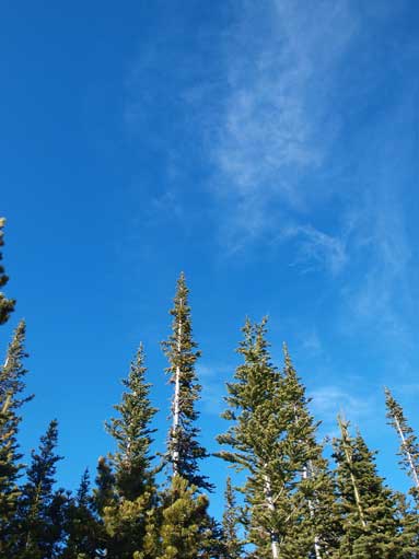
On the way down. What a beautiful sky!
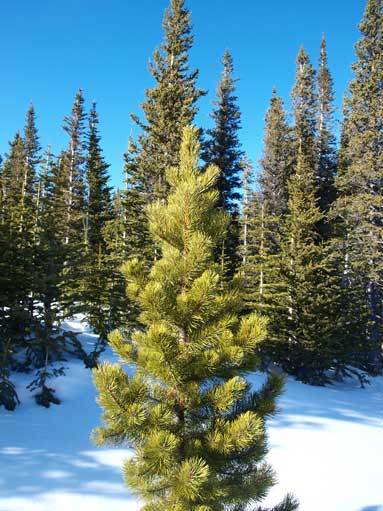
Another good-looking tree
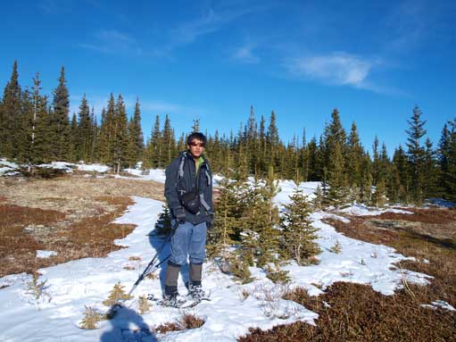
Me enjoying the bluebird day

Roche Miette on our way to Jasper
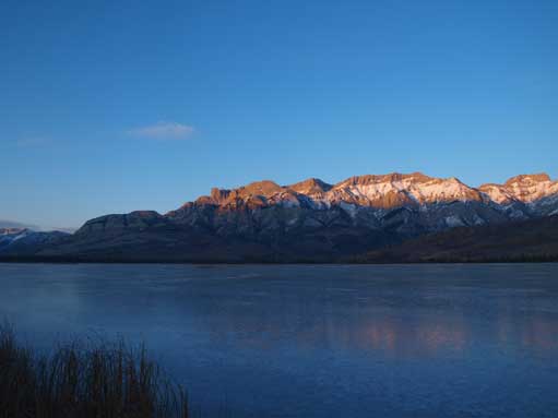
Miette Range rises behind the frozen Talbot Lake.
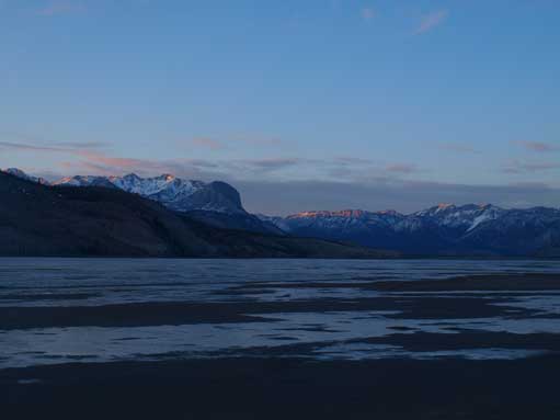
And we stopped at Jasper Lake for a few shots as well.
Despite the long approach in forest, the summit view is excellent. Although Roche a Perdrix has better scrambling involved, Folding Mountain do stand on a relatively isolated position, and as a result, you can see more mountains that you wouldn’t see from Perdrix. And next day!

[…] Mountain is a workout, we aren’t going to lie to you. Check out Steven Song’s trip report for this hike, which includes trail head details and full stats. With over 1,000m of elevation […]
I need to say. I did this trail today and at the last 50 meters I chicken out totally. It’s incredibly dangerous!! The terrain is all loose and is very steep! The adrenaline was in the highest level. I was just thinking ” wtf, how I will turn back ???”