Badger Mountain (Wenatchee, WA)
June 19, 2023
1297m
Wenatchee, WA
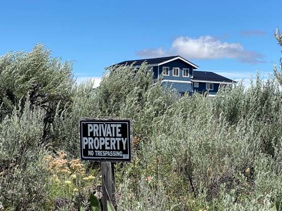
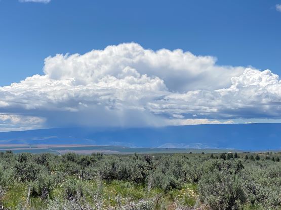
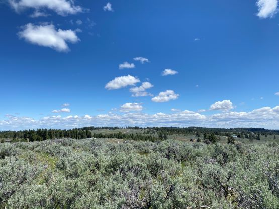
“Badger Mountain” is surprisingly a popular name especially in Washington state. This one boasts over 800 m prominence to the NE of Wenatchee but is mostly just the high point of a large plateau. Much of this plateau is used for farming and the summit access requires trespassing a “private road”. Most describe Badger Mountain as one of the worst prominent peaks in Washington. I would sort of agree, but this peak wasn’t as bad as anticipated. The summit area is at least free of large trees and offers some views.
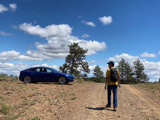
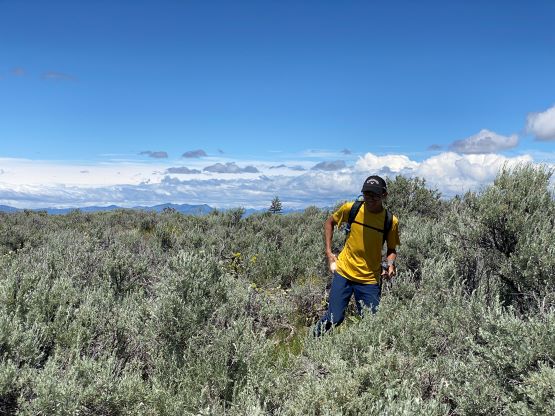
This was the second objective that Kostya and I did in the Chelan/Wenatchee day-trip to escape the dreary weather. The area is very far from home so we wanted to bag multiple peaks to justify the long drive. I wasn’t entirely sure if Kostya’s Tesla could make it on Badger Mountain but I wanted to try nonetheless. The Google Map directed us excellently to “Falcon Ridge Road” a few kilometers to the east of the summit. As expected, this final access road is guarded by numerous “private property” and “no trespassing” signs. We drove in anyway just like how every other peak-bagger did, but this road was by no measure built for Tesla traffics. We only managed to drive a few hundred meters in before having to turn around and park. It’s not terrible, but one needs at least a Subaru. We weren’t disappointed because we wanted to somehow “earn” this peak anyway. Had we driven my Tacoma here we would drive to the end and make the “ascent” in under 10 minutes. This way we would need to walk 2.5 km each way to reach the high point.

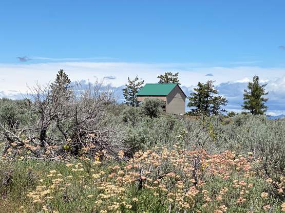
The area seemed rather sketchy with lots of trailers and vehicular dumps. I wouldn’t feel safe to leave the Tesla unattained for too long, but I estimated the round trip would take only 1 hour and we decided to risk it. There was no shelter on this entire hike so we hoped to not encounter anybody at least on the way in, and we were lucky. From the end of this road we easily dashed to the high point where a survey marker was located. I suspected the area to the immediate south is slightly higher, so we went into the bush and tagged a few high point contenders.
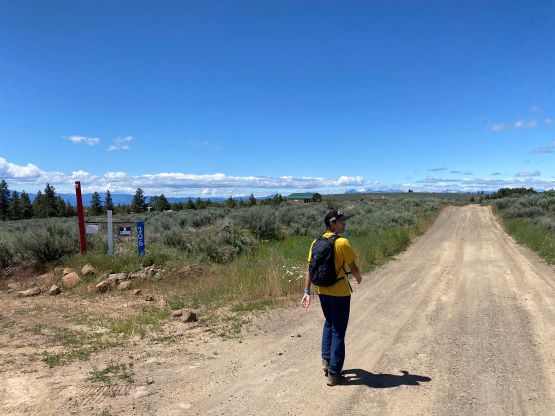


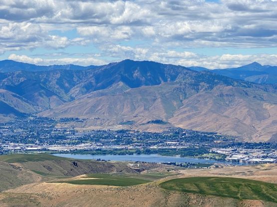
While descending from the second contender we came across another road that I wasn’t expecting. We subsequently decided to follow this road southwards. After consulting with the satellite images we decided to use this road to close a small loop in the summit area. We saw one dude sawing woods but he probably didn’t notice us. While walking back along the main Falcon Ridge Road we saw one vehicle coming. The driver (presumedly local and presumedly had seen our Tesla) was not very happy about our presence but didn’t fuss with us. We then quickly dashed out and drove away, down to the city of Wenatchee. It was only noon so I pulled out the maps and noticed a small peaklet called Castle Rock. The immediate urgency was to have lunch in a Subway and then we decided to hike that Castle Rock as well.