Arrowstone Hills
October 26, 2021
1791m
Cache Creek, BC
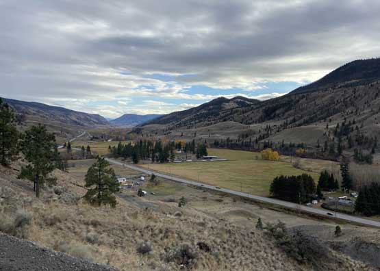
Arrowstone Hills is a larged, forested plateau that occupies a very broad area to the NE of Cache Creek in the Thompson-Okanagan area. The highest point of Arrowstone Hills locates roughly in the middle of the zone and boasts over 800 m prominence. The hills are heavily logged from all directions and FSRs had been pushed to within 200 m from the summit, but to drive that far is a complicated task that requires careful planning on the maps as well as owning a reliable 4×4 vehicle. The roads on Arrowstone Hills are not well-marked on Gaia map but between the Backroad Mapbook’s layer and the satellite images it’s not difficult to figure out the most logical route.
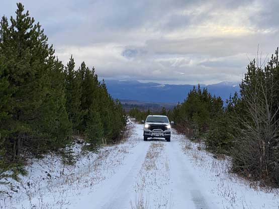
Matt and I decided to squeeze this objective into the mini road-trip after bagging “Fons Peak” and Pavilion Mountain earlier in the day. We drove south from Clinton and turned onto what’s labelled as “Scottie Creek Road”. We followed this road due NE and then E for at least 15-20 km until almost directly to the north of the summit zone. We then correctly located the spur road that shoots a straight line due south aiming for the upper reaches of our objective. The driving on this spur road started to become treacherous with numerous muddy spots that required decent clearance and/or all-terrain tires. We could have driven to the very top leaving only 200 m of cross country travel to tag the summit, but we opted to park about 2 km from the summit to make this a “proper” hiking objective.

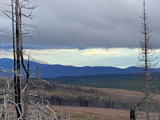
As soon as we started the hike we realized that the views weren’t as terrible as expected. We also encountered snow and some large wolves’ tracks on the snow. About 1 km from the summit Matt made the call to dash directly for the top. I wasn’t sure about this idea but agreed. The travel through the cut-block was actually not too bad. The worst was the final 20 m bump where we had no choice but to hop over some dead-falls. The summit itself also offered some views towards south. Matt noticed beforehand that Andy Martin from Arizona had come up here and sure enough we found the register placed by him. However, the pencil was frozen into the bottom of the Starbuck glass bottle..
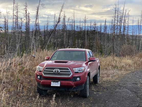


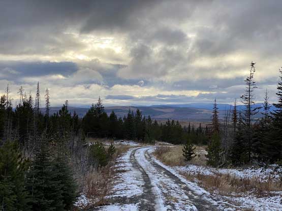


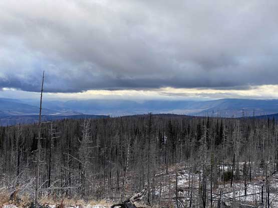

After a while we took a straight line descending the north slopes to the logging road and then easily plodded back to the truck. It started to snow heavily on us so we got back right in time. Matt was keen to explore an “up and over” driving loop on this hill so instead of driving out via Scottie Creek Road we continued the uphill driving, over the highest driveable end to the SE side of the summit. The roads on the SE side were narrower and rougher especially considering the recent snow and rain events, but manageable in the Tacoma. There were a few spots that I started to question our sanity of believing in the maps, but eventually it all turned out great. The roads started to become bigger and bigger after passing one junction after another and just when the darkness fell we reached Deadman-Cache Creek FSR connector. We tried to descend the Battle Creek FSR straight down to the highway but that road was blocked by a landslide, so we turned around and drove westwards along that Deadman-Cache Creek Road for another 20 km or more. This road positioned us onto the highway only a few minutes away from Cache Creek.
I thought about to do a dinner break in Cache Creek but decided to carry on. This was a mistake as there was no more restaurant south of Cache Creek all the way down to Hope. There were some restaurants but none of them was open. We started to encounter torrential rain after passing Spences Bridge into Lytton and the rain stayed torrential all the way to Hope. Later we realized there was actually some cyclone events in the south coast on this day and we luckily escaped most of it by driving into the interior. We had a late dinner in one of the Subways near Hope. The rest of the drive back home was uneventful but exhausting. I eventually got back home at 11:30 pm, almost 20 hours since leaving Matt’s place in the morning. In 20 hours we either drove or hiked, with no break whatsoever.
