Arthur Seat Mountain
October 23, 2021
1672m
Spences Bridge, BC
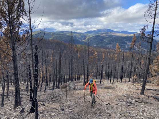
Arthur Seat Mountain boasts some shear cliffs that rise over 1000 m abruptly off Spences Bridge in Thompson River canyon. The highest point of the massif is however, several kilometers to the SW of the cliffs and is forested and dull. It does have about 400 m prominence but the view is minimal. In the past decades some parties had climbed some routes on the cliff face but very few actually ventured towards the true summit. I do believe one can reach the true summit by bushwhacking above Spences Bridge but such would take a long day. The easier option is to drive the long FSR system from Laluwissen Creek in Fraser Canyon. The logging roads reach slightly above the “prominence saddle” of this peak and from there the ascent is just a short trek in the forest. In 2021 the forest on Arthur Seat Mountain was burnt down to nothing and for now there is virtually no bushwhacking required whatsoever.
This was not on the original plan of this day but when Alex, Ben and I headed into this piece of woods in Clear Range we ended up having some extra time. The original plan, “Mull Peak” and Murray Peak took us shorter than expected. We then squeezed into “Pasulko Peak” but even that was a bit too short to fill in the day. By doing “Pasulko Peak” we were already halfway up the FSR system leading towards Arthur Seat Mountain. This final objective appeared bushy and extremely uninspiring but we were already there. Even I was contemplating to skip it but the peak-bagger’s obligation won in the end. This highpoint has an official name on the maps so I have to put a check mark on it. No question. Period.
From where we parked for “Pasulko Peak” we drove to around 1800 m elevation and then gradually descended into a deep valley at 1250 m elevation. This was the “prominence saddle” of Arthur Seat. The forest suddenly transitioned into the burnt mess but the road was still in a good shape. We drove about 100 m up the far side of the saddle and parked at a convenient spot at a switch-back. This FSR extends about 20 km out of Laluwissen-Botanie area is a one-direction system meaning we must reverse the entire drive on the way back home. There’s no road to connect the upper slopes of Arthur Seat down into Murray Creek or the main Thompson River gorge at Spences Bridge.

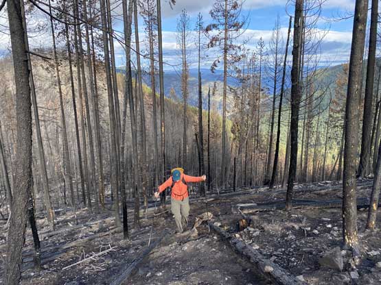
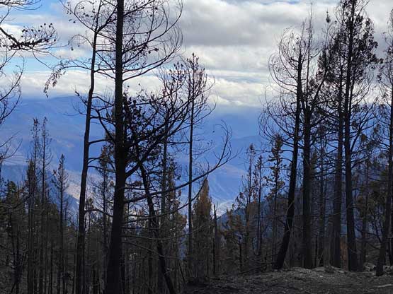
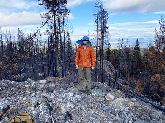
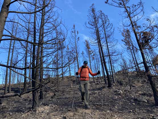
We dived right into the burnt forest and traversed with some slight descending to the broad NW Ridge of Arthur Seat. The plod up the NW Ridge was disorienting at times due to micro-terrain but generally speaking we kept a rising traverse direction towards climber’s left. We briefly hiked into the un-burnt woods and boy the bushwhacking sucked, so we dived back into the burnt areas. It was a devastating scene but for us, it made the hiking much easier. Higher up we bypassed the west bump on the north side but still had to content with a few minor up-and-downs. The final rise to the summit was then ascended. I was hoping for at least some views but the result was disappointing. Instead of views we found a summit cairn… I was secretly hoping for a “first recorded ascent” but oh well…


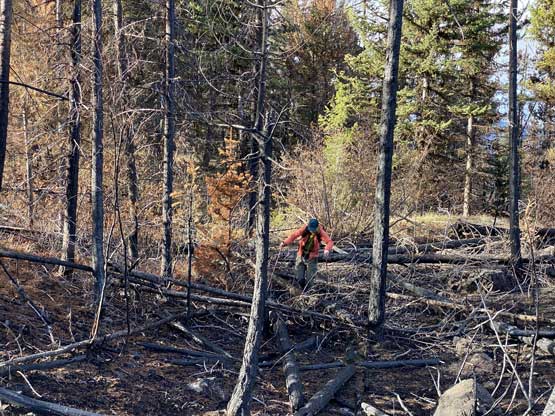

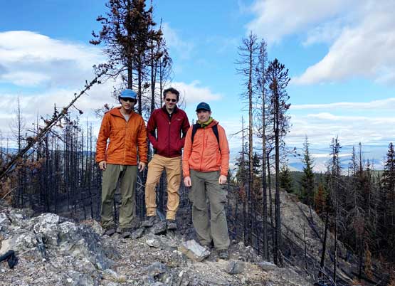
After taking a few victory shots we immediately started the descent. I led the way back sticking as close to our own GPS tracks as possible. We managed to avoid that small section of the un-burnt forest by staying farther to the south and this way we stayed entirely on the burnt forest on the return hike.


The drive back out of the spur roads was actually smoother than the main Laluwissen Creek FSR. After at least 1.5 hours on the FSRs we eventually made back to Highway 12 in Fraser Canyon. Just before getting onto the pavement I parked and took a short nap. I then did the entire drive back into the Lower Mainland in one shot sans the stop to have a dinner. The weather was as expected, mostly pouring rain once we drove past Boston Bar.
