Mount Jimmy Jimmy
July 5-6, 2017
2208m
Squamish / Ashlu Main FSR, BC
Over the past two years I’ve heard lots of recommendations about a glaciated massif named Mt. Jimmy Jimmy at the headwaters of Ashlu River and in fact, quite a few friends had set to attempt and made the summit. Most peaks up by the Ashlu River are elusive or next-to-impossible to access given the current status of that road but Mt. Jimmy Jimmy is an exception as it’s on the south side. And unlike many other remote SW BC peaks this one does have quite a few detailed trip reports with again, simonc’s on ClubTread standing out to be the “best”. The most commonly used approach is from Pokosha Creek via a flagged route while the timing is best in spring or early summer.
My original plan was to ascend Mt. Jimmy Jimmy as a snowshoe trip but after two winter seasons in the coast I still hadn’t got around to do it. The idea of making this ascent in early July was a pure last-minute decision. It was a mere one day after my exhausting 4-day Nivalis/Sir Richard trip but the weather was still stellar. I wanted to do something interesting but felt lazy to come up with fancier ideas. Given the dryness of this spring/early summer the season was already on the late side but Mt. Jimmy Jimmy had been on my list for a long time so I could not wait. My plan was to break this long day-trip into two shorter days but then add a bonus objective namely Coin Peak.
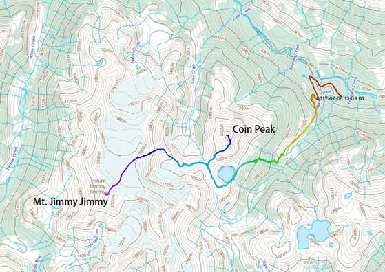
Coin Peak and Mt. Jimmy Jimmy standard route. GPX DL
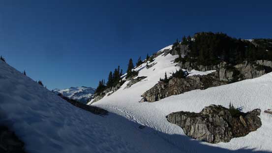
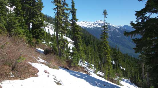
Figuring the first day would be short anyway I did not leave home until after lunch time. Two hours later I turned onto Squamish Valley road but then an unexpected bridge construction costed at least half an hour’s delay. Thankfully after a bit of negotiation the crews let me go and then I crossed Squamish River onto Ashlu Main. This was my first time driving Ashlu Main and I have to say other than some pot holes it’s in a decent shape. I stayed on the south side past the decommissioned bridge with the last 2-3 km up Pokosha Spur very rough. I made to the upper parking lot with my Tacoma without a problem but without aggressive 4×4 tires I felt like pushing a bit. There were lots of sharp rocks poking underneath. Loading up the heavy pack I soon started up the remaining sections of this logging road. The road/trail was in an excellent shape for hiking and in fact, those armed with an ATV can keep driving for a while. Another thing worth noting was that this road actually dispatches more elevation than I thought it’d do. By the time I reached that creek crossing I was already high above the Ashlu Valley floor. Hoping over the creek required a bit of cautious work but no problem whatsoever. And then it’s time to decide where to bail into the bush.
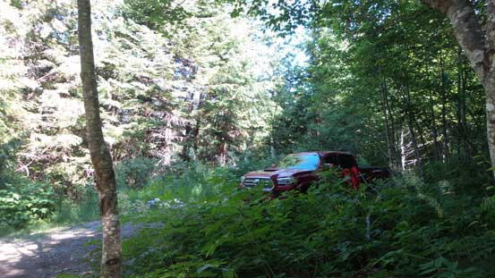
Taco did it job excellently
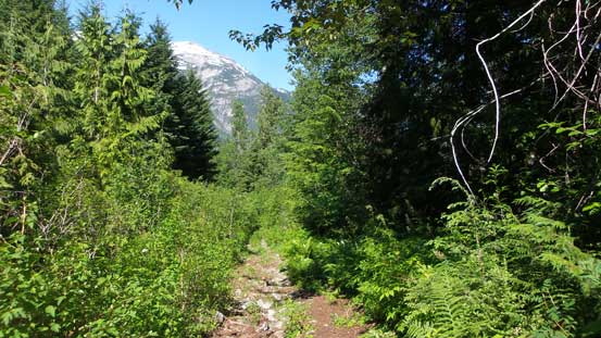
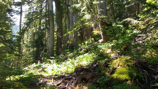
The start..
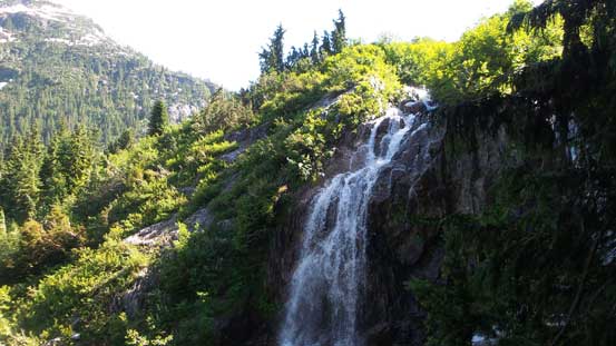
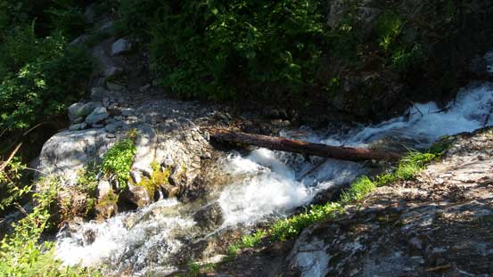
Coming across this cool waterfall. Trail ascends up to the right
One of the couple creek crossings
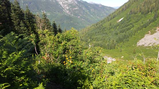
The trail crossing this huge avalanche path was quite overgrown
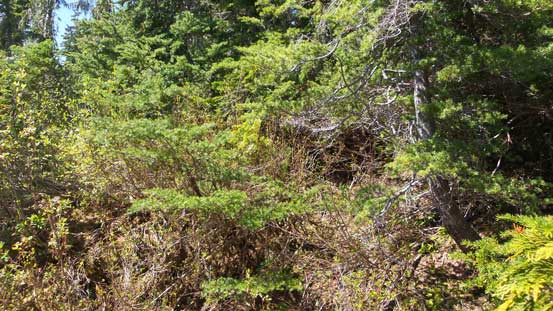
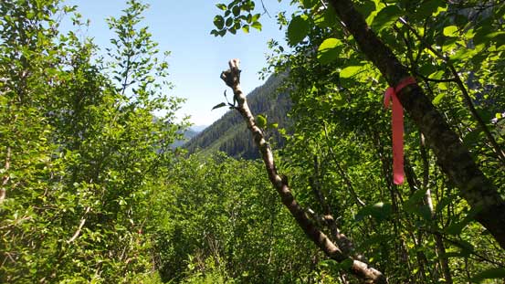
All reports indicate there’s a “flagged trail” heading up to Coin Lake but as far as I can tell it’s more like a “indistinct route”. The start was unclear that after searching back and forth for a while I gave up and just bushwhacked up the forest. About a hundred meters up the slope I found the flaggings on the edge of a slide path. Ascending this slide path would be next to impossible thank to the alders and devil’s clubs so I have no idea where the “trail” starts. Anyway I continued upwards following the flaggings with the next couple hundred meters easily dispatched in open, albeit increasingly steep forest. Just when the grade levelled out I started encountering thick bushes. The general idea was to trend climber’s left aiming for the outflow of Coin Lake but much of this section was done by heavy duty bushwhacking. I did see some flags ensuring I was indeed on route, but the bushwhacking was far worse than some made it sound. The different is, I did this in summer while almost everyone else did it in spring.
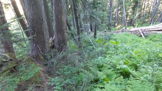
Not the most pleasant forested travel…
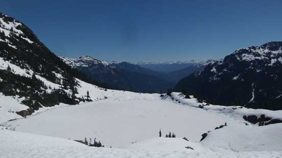
I did not encounter much of snow until reaching Coin Lake but all the sudden the snowpack thickened to at least 2 meters deep. The lake itself was still frozen but at this time of a year walking across was no longer a trustful option so I had to traverse around on either side. I knew both would go but opted for climber’s left (south) side as it looked more gradual, albeit with more distance. Another problem with going climber’s left was crossing the raging outflow creek of this lake. I did not know it as again, nobody mentions this in their trip report but trusting one snow bridge with a fatal consequence had it collapsed did take a bit of nerve out of me. After that sort of excitement I resumed the traversing path up and over a couple rolls of snow slopes and then trended rightwards onto Coin Pass.
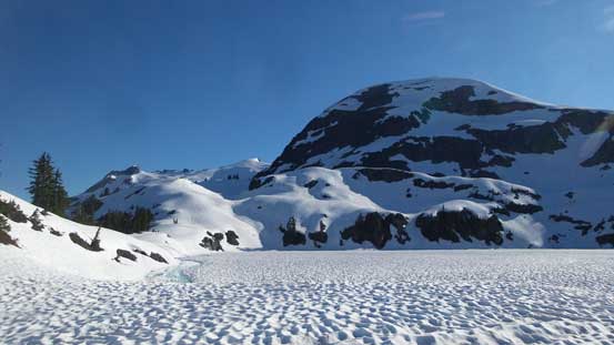
Finally reaching Coin Lake. It’s winter wonderland here!
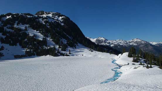
It’s hard to believe Coin Lake still almost entirely frozen in July
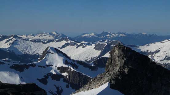
Looking back across Pokosha Creek valley towards Sigurd Peak
Another shot of Coin Lake
Tantalus Range from an unusual vantage point
Almost made to Coin Pass now.
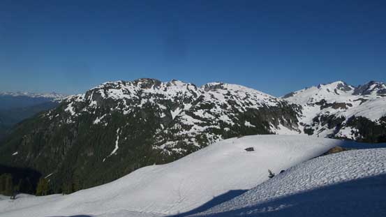
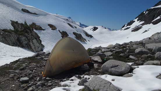
There were still a couple hours to kill before sunset but my first business was finding a flat spot for my solo tent. Thankfully there are plenty of those so after setting up the campsite I quickly resorted the gears for a jaunt up Coin Peak. This ascent is written in a separate trip report. Long story short I did make the summit and then watched sunset from up high. It was spectacular but the ascent took much longer than what appeared on a topographic map. By the time I made back to camp it’s almost dark and then after a well-deserved dinner the sleep came fairly easily.
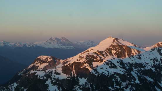
Evening alpenglow on Sigurd Peak with Mt. Garibaldi behind.
After an ascent of Coin Peak I was back at camp at dusk
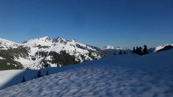
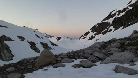
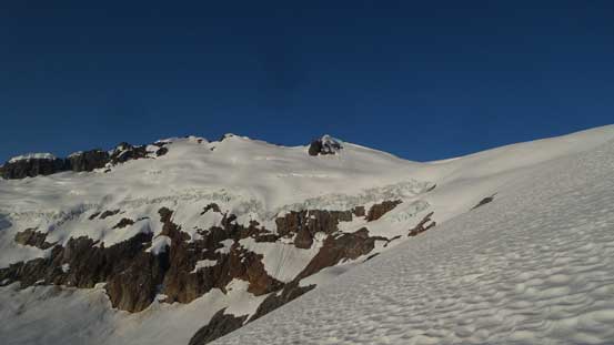
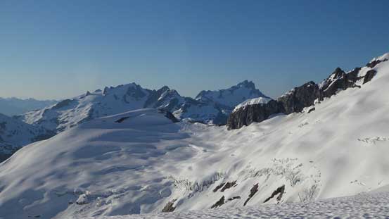
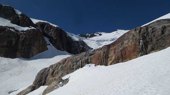
The next morning it’s hard to get going but I did manage to drag myself out of the tent before alpenglow time. There’s absolutely no freeze or whatsoever thank to the warm overnight temperature so the crampons and ice axe stayed in my pack. From the pass I had to lose a bit of elevation contouring the edge of a small glacier and then ascend onto a mix of rock and snow straight up a broad ridge feature. Much of this stage was following Simon’s trip report and also aided by Jeff Han’s GPS track so easy going. Once it made sense I started a long gradual side-hill diagonal traverse due climber’s left. The destination would be the upper glacier/icefield. At least two spots along this traverse felt steep but again I did not have to use axe nor crampons for that matter.
Following this broad ridge feature up was easy going in the morning
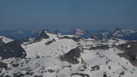
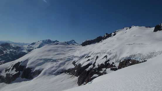
Very cool glaciated terrain
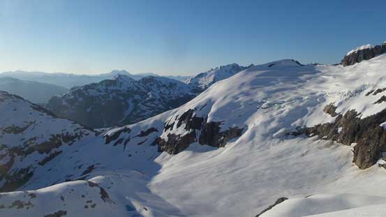
Looking back, you can see the pass where I camped
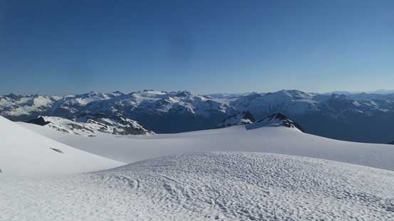
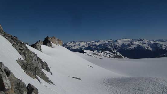
Ascending onto the upper icefield
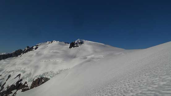
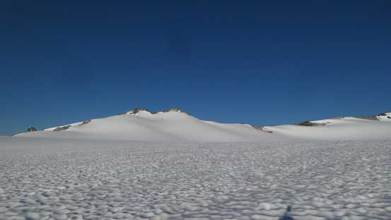
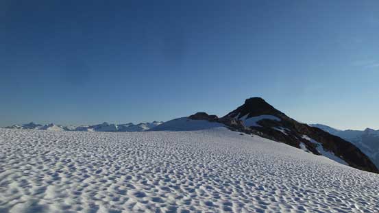
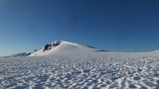
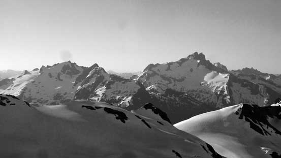
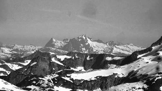
Plodding across the upper glacier was as simple and mundane as expected. It’s pretty much a flat plateau although the views were inspiring especially when looking back at the Ashlu-Elaho Divide. The true summit is the leftmost of those pinnacles and my aiming was towards the left side of the true summit. I knew other parties ascended to the right but the easiest route looked to be via the broad E/SE (left skyline) Ridge.
The true summit seen from the upper icefield.
The plod was as easy as seen here.
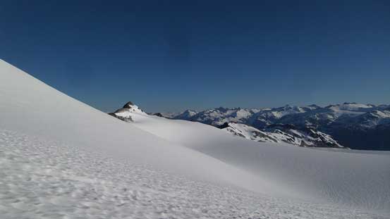
Getting higher than the nearby sub-summits gradually.
Another sub-summit on the icefield
Gaining some elevation again towards the summit
Looking back at the icefield/glacier I just plodded across
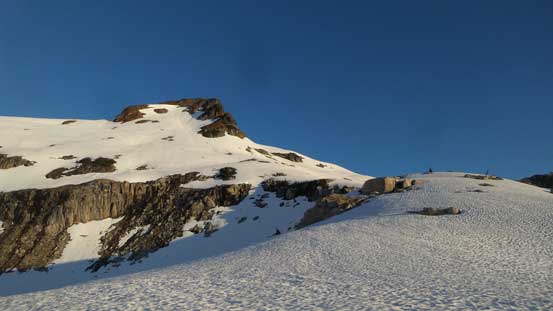
Indeed, the ascent was very easy once getting onto the rock. It’s mostly a class 2 hike on broken boulders and the next thing I was standing on the summit soaking in the million-dollar views. This was my second trip in Squamish Valley but first one with a clear views so it’s super cool to look at those mountains that I had never seen up close.
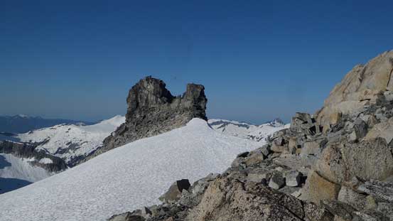
A very cool rock pinnacle on the peak
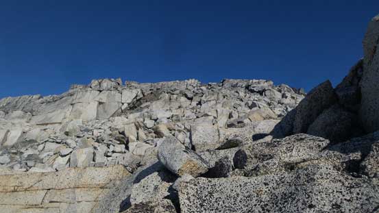
Ascending easy broken granite boulders
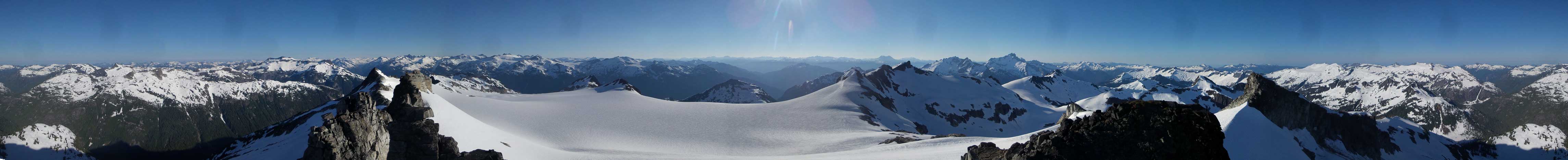
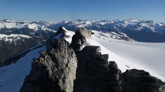
Summit Panorama from Mt. Jimmy Jimmy. Click to view large size.
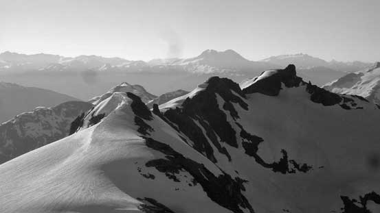
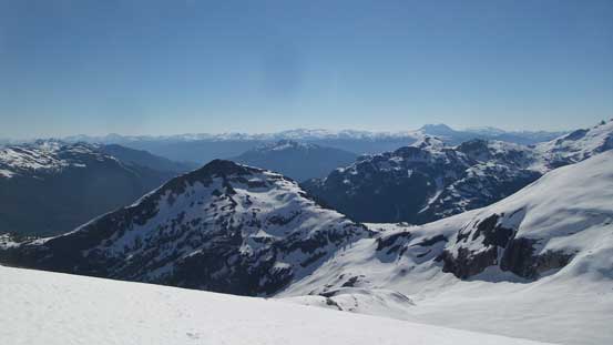
Looking down at the lower sub-summits with Ashlu-Elaho Divide behind
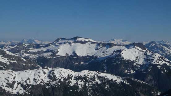
This is the massive Chimai Mountain
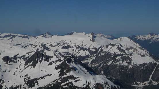
Looking towards the very remote Tzoonie Mountain
This is just a sub-peak of Tzoonie
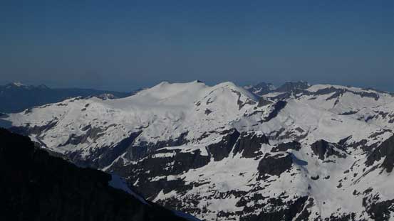
Looking over Phantom Mountain towards the peaks by Sunshine Coast
Pelion Mountain and Mt. Tantalus looms on the skyline
Looking over more sub-summits towards the massif of Mt. Garibaldi
This is looking over Serov Peak towards the very elusive Mt. Freda and Mt. Churchill
Another elusive summit – Mt. Alfred.

Ashlu Mountain and Porterhouse Peak
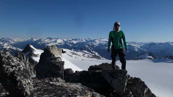
Me on the summit of Mt. Jimmy Jimmy
After at least half an hour I decided to slowly start the descent. Reversing my line down the rocks I got onto the snow and then it’s a simple plod across the upper icefield. Getting down the diagonal traverse ramp was easy peasy with the softening snowpack. Every step down I could glide forward and the elevation was lost in no time. And the next thing I was back at the camp. It’s very tempting to take a nap but I decided against it.
Time to go down..
Coin Peak in the foreground. It looks tiny..
Just another photo of the glaciers
Descending the typical terrain on a mix of rocks and snow
Back to camp… It’s very tempting to get lazy now
Down from Coin Pass I again, reversed my exact line up and over a couple snowy bumps and then used the same piece of snow bridge to cross that Coin Lake’s outflow. The safer option was wading right at the outflow but I did not feel like taking the boots off. Pretty sure that snow bridge would not last very long anymore. And then down into the bush I tried hard to find a “trail” but with no luck. Eventually I gave up and just followed my own GPS tracks down but at least down-hill bushwhacking was not a big deal. Once getting into mature forest the travel had become much easier. Back to the parking lot, the truck was still there and the tires were still inflated so that’s good.
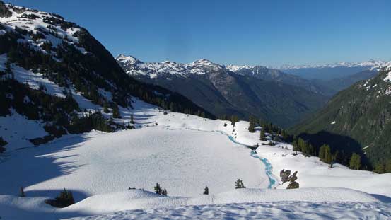
Just another photo of the frozen lake
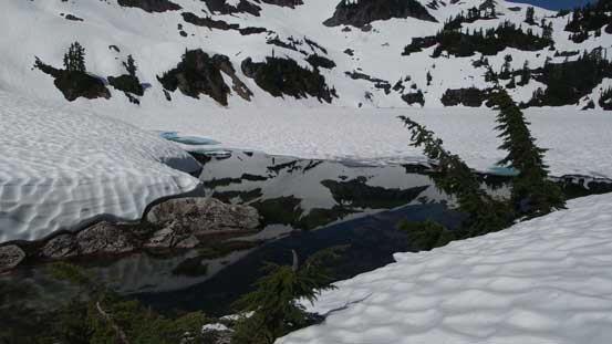
The frozen lake does show a patch of open water near its outflow
Utilizing snow for as much as I could
Bushwhacking…
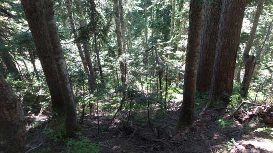
Into mature forest now. Less bushy but very steep…
At least the elevation was dispatched quickly
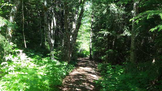
Down to the trail now
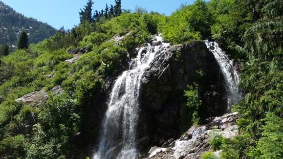
That waterfall again
The end…
The downside of finishing too early was the horrible rush hour traffics. I checked the time and decided to take a nap and kill some time in Squamish. At about 6:30 pm I felt like having enough of this waiting game so resumed the drive back home. Through Vancouver was still bad but at least the traffic was flowing. There’s two stupid American dudes climbing on Lions Gate Bridge causing hours of delays earlier in the day, and thankfully I was not there when that happened… Tired but satisfied and with golden forecast persisting I had to make another plan…
