Grapevine Peak
March 26, 2022
2663m
Death Valley National Park, NV
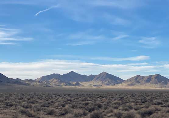
Grapevine Peak is the highest peak in Amargosa Range and subsequently boasts over 1300 m prominence. This peak also locates in the area of Death Valley N.P. that sticks into the state of Nevada. The peak itself is in the state of Nevada but very much near the border with California. Despite the substantial prominence the ascent of this peak is very trivial that can be done in a mere few hours for most hikers. In fact, this is a rather boring hike. The crux of this ascent might actually be the drive-in, as about 35 km of dirt roads must be navigated each way. The drive-in does not require a 4×4, high clearance vehicle, but is not “car country” neither.
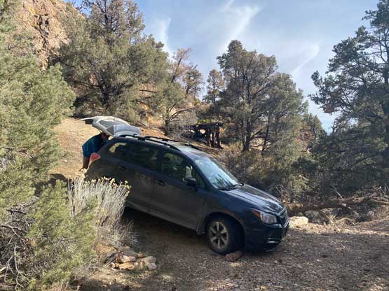
Doug, Arthur and I finished our trip in Baja California about 2 days earlier than planned so we had a full extra day to bag some prominent peaks in the desert states. Doug, chasing the “P4000 feet” list, was quite set on Grapevine Peak even though this would require at least a few hours’ detouring. Through the previous evening we had pushed from Tijuana in Mexico to San Bernardino. Our plan was to drive all the way to the trail-head but we were being too optimistic. Eventually by 1 am none of us was able to keep driving so we settled on a road-side turn-off on SR 395 and slept. Doug and Arthur still opted to set up their respective tent but I just slept inside the car on the passenger seat. The following morning we woke up at 5 am after sleeping a mere few hours. I volunteered to take the morning shift driving us up and over several mountain passes into Death Valley at sunrise then then out of the state of California to Beatty, Nevada. Doug then took over the drive to negotiate the 20-mile dirt road access. The road eventually became rough and we pushed a little bit further than most GPS tracks’ starting spot. We actually pushed too far and faced a sketchy backtrack.
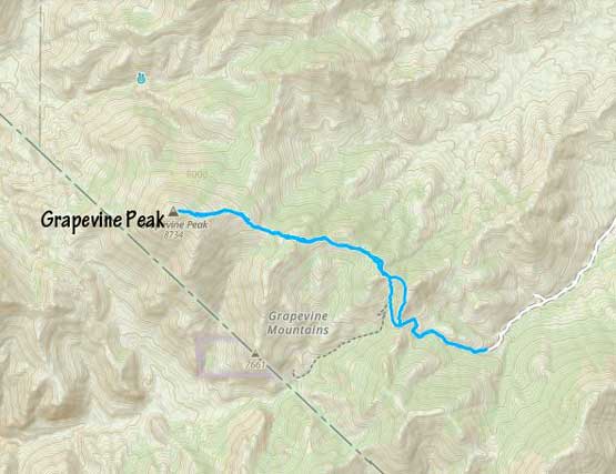
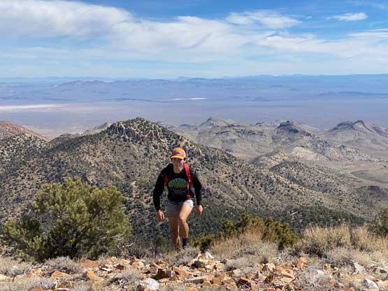
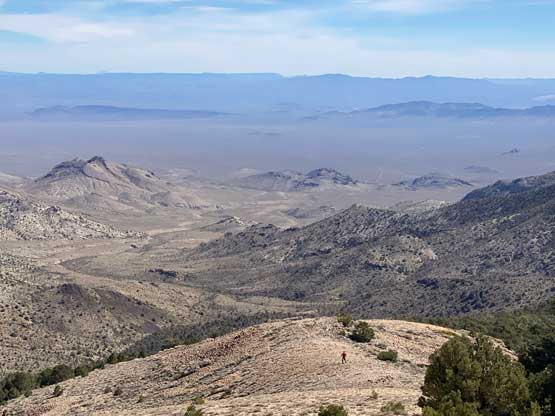
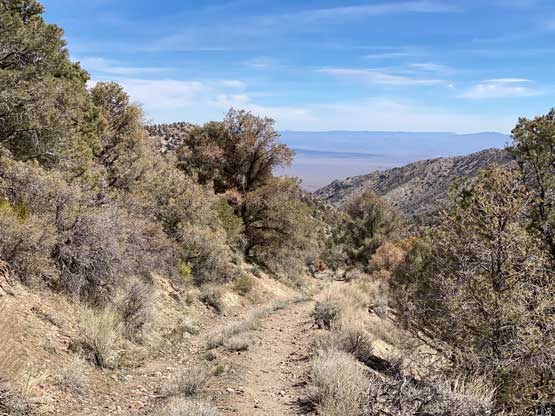
I knew this would be a boring ascent. The first stage was plodding up the remaining road to a pass between Grapevine Peak and Wahguyhe Peak. The road was actually not too bad, but one section at the bottom was too rough for our vehicle. There were also patches of snow on the road. From the pass we followed the GPX tracks ascending onto a ridge to the north, with minor up-and-downs. We picked up a set of game trails traversing the west slopes of the first bump and then traversed around the NE slopes of the second bump. We then bypassed the third bump by side-hilling on the south side. The 3rd bump’s bypass was quite long and tedious as the terrain was somewhat unpleasant at times.

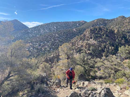
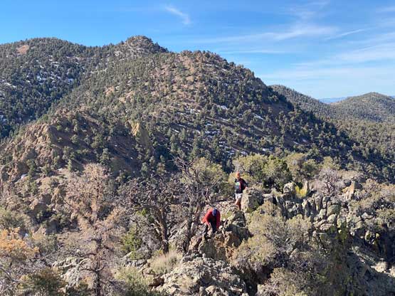

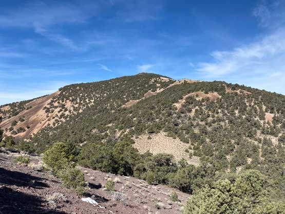
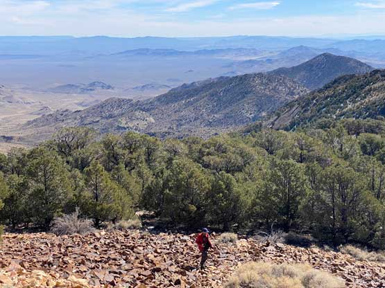
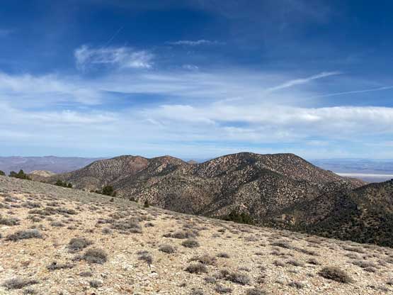
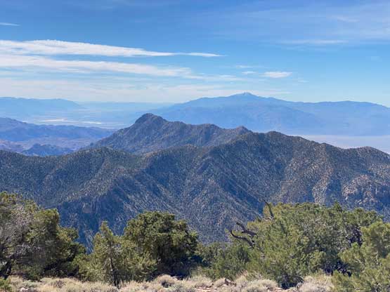
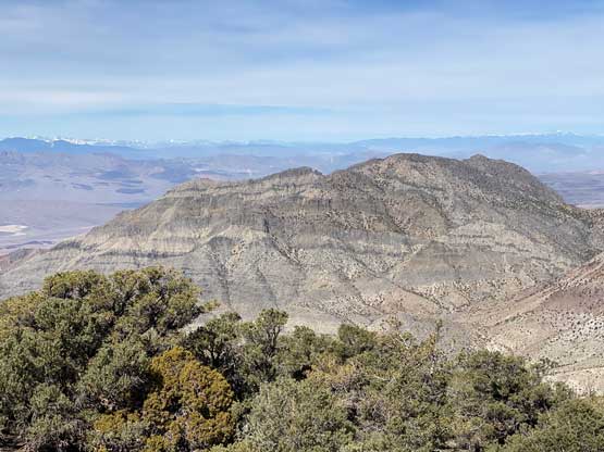
The 4th bump must be plodded over but still, we did not need to tag the actual high point. Instead, we aimed for the broad area between the two high points of this bump and side-hilled around as much as we could. And then there came the final 250-m grunt to the summit, where we mostly just followed the broad ridge. The terrain was a mix of open forest and scree. The scenery was great but there’s not much worth to recommend about this hike.

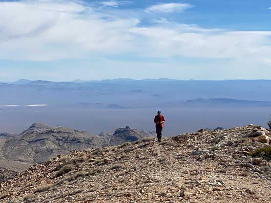


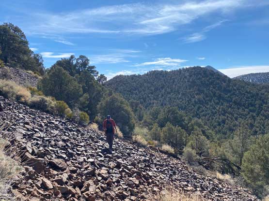
We had developed a tactic at this point about the descents. Doug would set off first. I would follow 15 minutes later and Arthur would stay an hour on the summit to catch up to us. I eventually just went on my own pace as this route was rather boring that I wanted to get off this peak as quickly as possible. At the second-to-last col I checked the map and made a spontaneous decision to short-cut descending into a valley and joined the old road. This was definitely more efficient than plodding back across the ridge. The rest of the descent was uneventful and our round trip time was exactly 3 hours. This was definitely one of the easier “P4K”s in CONUS that’s for sure.


At this point we were still doing good on time and I suggested that we should aim to ascend West Mountain Peak near St. George at sunset. That’s a peak with over 1000 m prominence so nobody opposed. Arthur took the turn driving us to Las Vegas. I then drove us southwards towards St. George.
