Mount Peale
September 2, 2026
3879m
Moab, UT
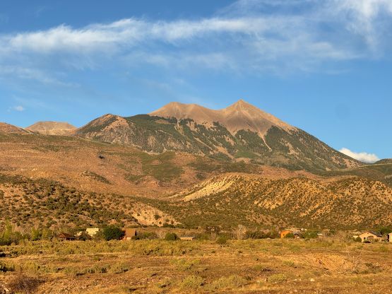
Mt. Peale boasts over 1800 m prominence and dominates the backdrop of Moab. This is also the highest peak in SE Utah so despite the relatively “easy” ascent this is still a very significant objective. There are several other P100m peaks in the vicinity notably Mt. Tukuhnikivatz (“Mt. Tuk”) that can be linked together and in fact, that was also my plan but the weather had something else to say. The elevation of this objective would be one step up from Hyndman Peak and Mt. Timpanogos that I did in the previous two days so this was that perfect acclimatization hike I was searching for before entering the state of Colorado, especially considering the trail-head camping would be at 3100 m.
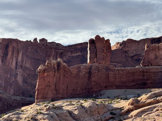
In the previous day I pushed from Provo vicinity all the way to Moab making a couple rest stops along the way. The driving distance was not as short as the maps suggested so this was still a solid “half day push”. I laid out the itinerary mostly by looking at the Peakbagger app so wasn’t actually aware that I would be driving through Moab. I knew the existence of this touristy place but had little clue where exactly it is. This was only my first time in Utah peakbagging in the summer season, after all. Before entering Moab I drove right next to Arches and Canyonlands National Parks so I took note of where exactly they were. I unfortunately did not possess the 250-USD parks pass so skipped visiting them. I awarded myself with a Mexican dinner and then resumed the drive into the La Sal Mountains. Unfortunately I blindly trusted Google Map again which directly me towards La Sal Pass from the NW. Fortunately I thought the late afternoon sun’s direction wasn’t making much sense so pulled out the Gaia’s GPS app and sure enough, I was seriously off route. This route would “go” but only with a serious 4×4 vehicle. I had no choice but frustratingly made the 20 minutes backtracking and drove all the way around to the SE side of the objective. The standard FSR access was “fine” in the rental AWD but the creek crossing was spooky to say the least. I had to get out to inspect the depth of the water since it was not looking very promisingly in the dark, but it wasn’t a problem at all. There were at least 7 or 8 Wranglers preparing for the 4×4 descent down NW when I pulled into the parking lot. They thought I was going to join them in this Nissan Rogue but I explained that my plan was only to camp up there.
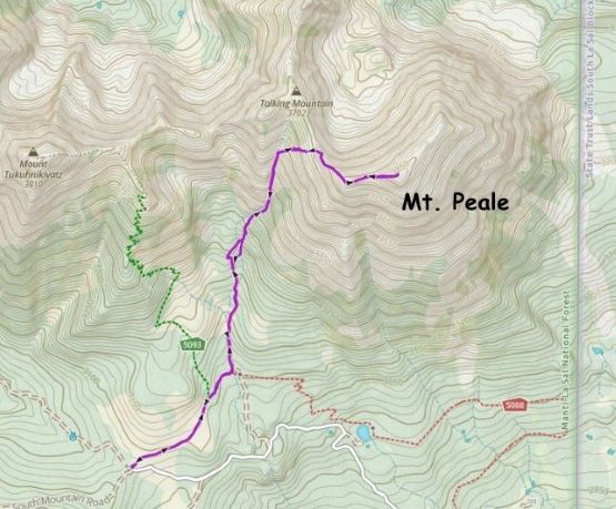
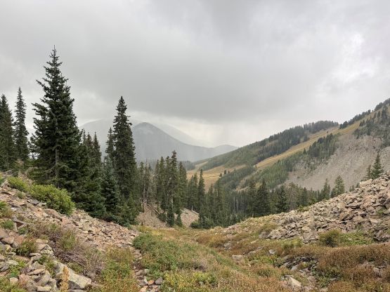
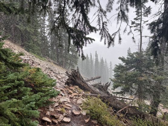
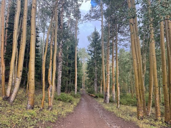
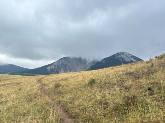
The weather forecast was not “bomber” with chances of precipitation so my plan was to get up extremely early to ensure a successful traverse of at least two of those peaks looming above. I only “needed” to do Mt. Peale though, so I wasn’t dead set on the idea so sure enough, I turned off the alarm at 5 am and slept in for another 2.5 hours. At this point I basically talked myself out of doing the traverse as I wasn’t going to mess around with the thunderstorms. There were already clouds building up by the time I started shortly after 8 am. I anticipated a lot of off-trail travel towards Mt. Peale after skimming through a couple trip reports but the ascent was rather “tame”. Much of the route had a path to follow so I wasn’t sure exactly how the “off trail” comments came from. Perhaps they thought only the wheelchair accessible highway could be considered as a “trail”. Midway up the forested part of the gulch I did lose the trail briefly by not paying enough attention to the details but I refused to backtrack, and the bushwhacking was a bit more annoying than I thought. The branches were very stiff and pokey and there were a lot of pick-up sticks around.
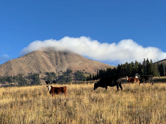
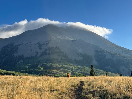
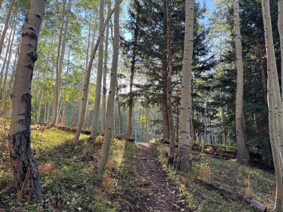
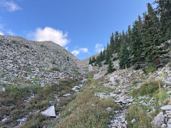
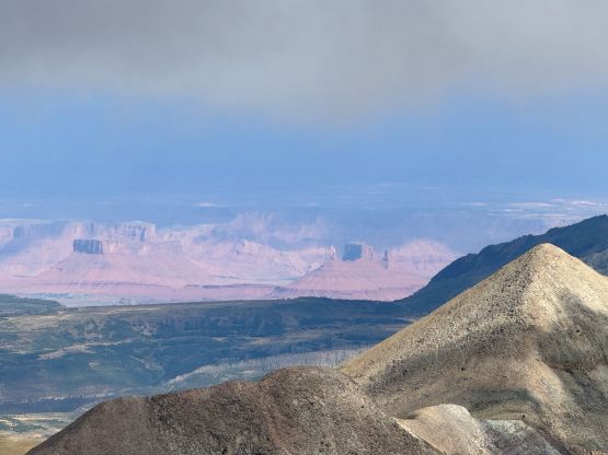
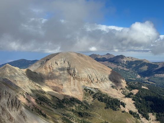
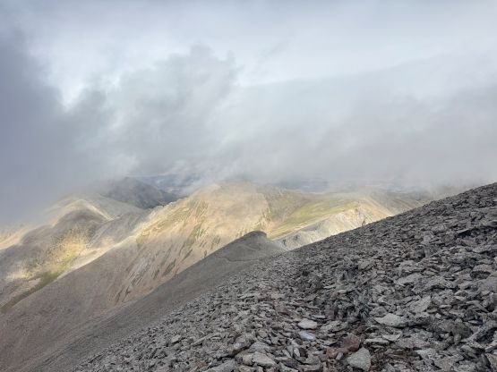
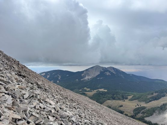
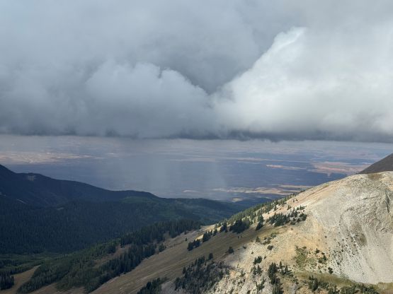
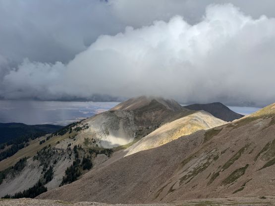
I paid more attention to the paths and cairns and had no further problem ascending into the upper gully feature. I briefly lost the path but regained the “trail” higher up, and the boulders were mostly stable. There were also several paths to facilitate that steep stretch to gain the W. Ridge of Mt. Peale and once there, I had to don all the layers that I had brought up. It was very cold, windy and miserable and the clouds were already forming around these peaks. I made the final ascent as quickly as I could and summited in a total white-out. I sensed no immediate danger so opted to wait up there for 10 minutes and surprisingly the clouds dissipated briefly revealing some neat views.
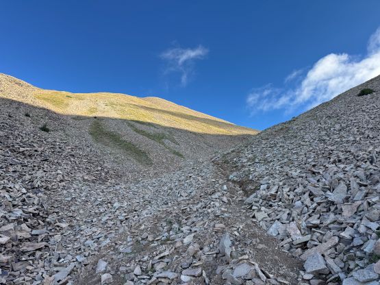
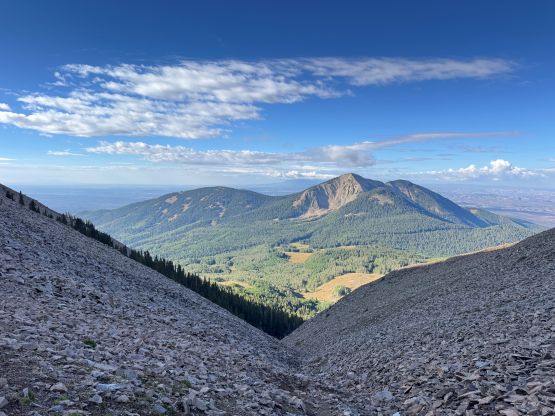
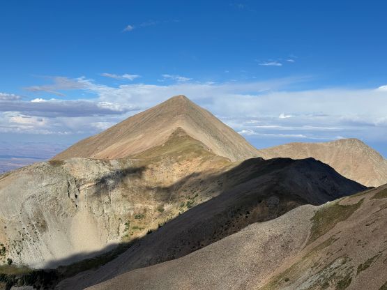
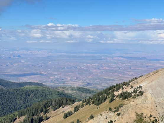
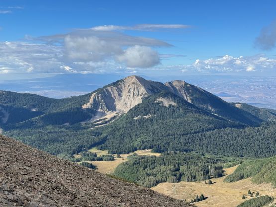
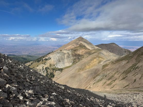
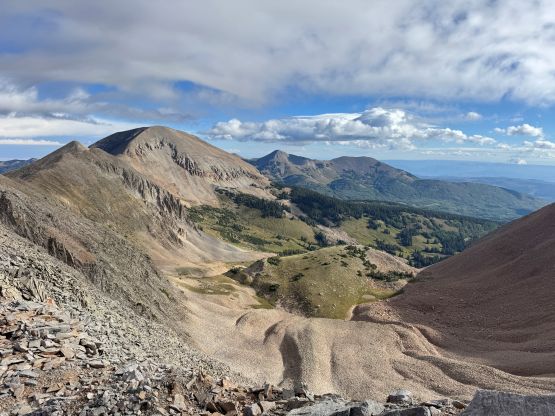
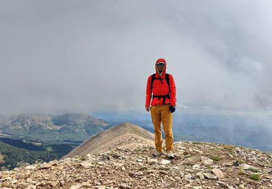
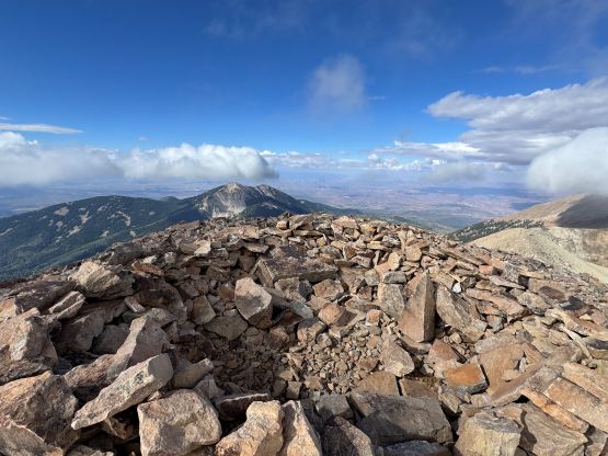
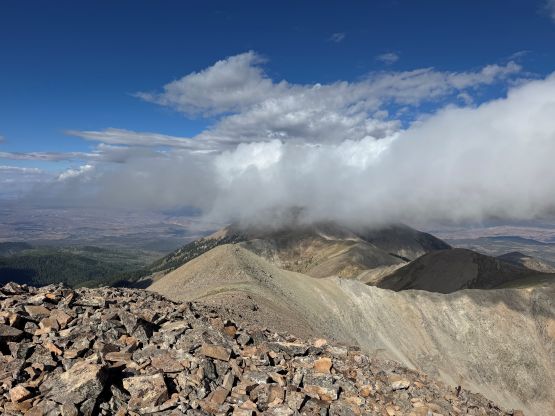
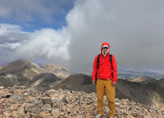
I made the final decision to skip Mt. Tukuhnikivatz as the traverse would be entirely exposed to lightning strikes. Even though there wasn’t any immediate danger I couldn’t comment on 2 hours later, and it was already 10 am at this point. Sure enough, as I made my way down into that upper gully I could see a rain cell approaching rapidly from the south, and 10 minutes later I got rained on. The rain quickly turned into a hail storm with multiple loud thunders but at this point I was already back down into the forest. I still got thoroughly soaked as the precipitation was very intense. The rain didn’t last forever so the rest of the descent was mostly in dry conditions, but there were definitely a few more storms in the vicinity. I immediately drove away since I was worrying about the roads becoming too muddy. The roads were fine so I took a long break after finishing the creek crossing mostly to prepare the ramen brunch, before resuming the drive into the state of Colorado. For the first time in this trip I no longer needed to drive 5+ hours afterwards.