Kellogg Mountain
March 20, 2017
2561m
Tucson / Santa Catalina Mountains, AZ
Kellogg Mountain is rather just a rounded bump attached to the east side of the taller Mt. Bigelow in the Santa Catalina Mountains north-east of the city of Tucson. The access is from Mt. Lemmon Highway and then the Incinerator Trail directly south of the Kellogg/Bigelow dual. From the col the ascent of Kellogg Mountain requires some brief off-trail travel but that’s about it. I did it as part of my peak-bagging slam along Mt. Lemmon Highway and earlier in the day I’ve already bagged Barnum Rock and Leopold Point.
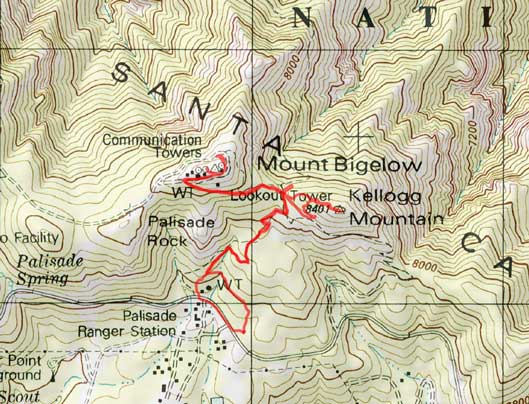
Kellogg Mountain and Mt. Bigelow ascent route. GPX DL
The parking was a little bit confusing as I could have started from the Palisade Ranger Station or another pull out before that which I forget about the name, but either way I could pick up the Incinerator Ridge access trail. Gaining Kellogg/Bigelow col was very easy using this trail and from the col I turned right. Not knowing where should I aim for I went too far on climber’s right (south) side and got myself into some 8-foot desert brambles. I tried pushing through but it’s nearly impossible so had to turn around and find another way, and I did manage to find a much-easier route on the north side. The summit was largely forested so there’s not much point in lingering.
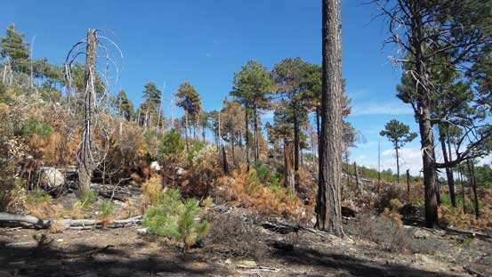
As much as the view from Incinerator Ridge trail at this section

At Kellogg/Bigelow col

Could I power through these brambles.?!
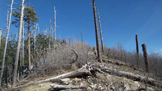
Nope. I had to find another way
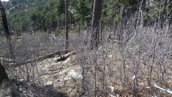
Still had to deal with bushwhacking, but much more reasonable now

Summit Panorama from Kellogg Mountain. Click to view large size.

A look into San Pedro Valley
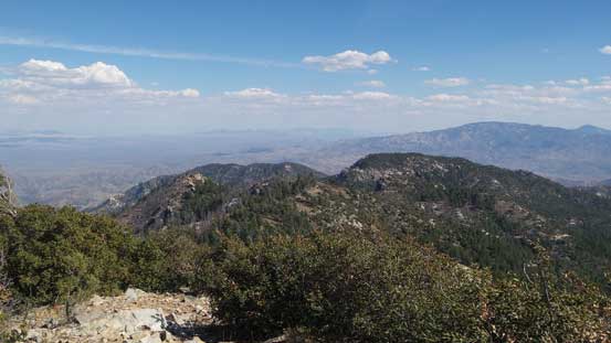
The eastern side of Incinerator Ridge with Mica Mountain behind
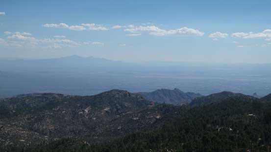
The city of Tucson with Mt. Wrightson on the horizon
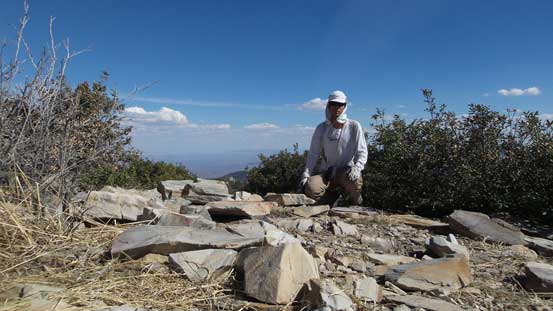
Me on the summit of Kellogg Mountain.
After retracing my route back to Kellogg/Bigelow col it’s time to focus on Mt. Bigelow.
