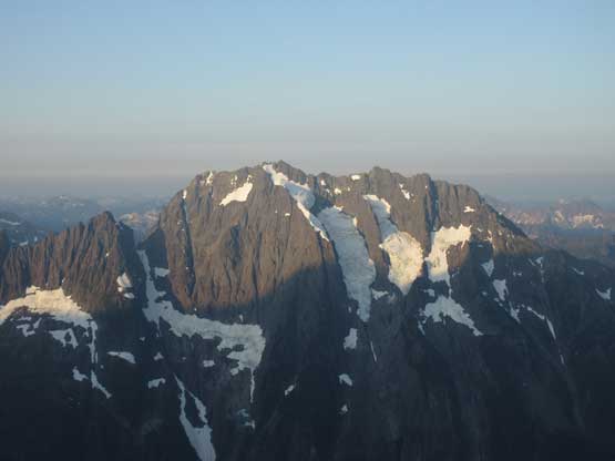
Forbidden Peak
July 31-August 1, 2019
2687m
Cascade River / North Cascades Highway, WA
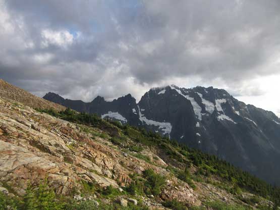
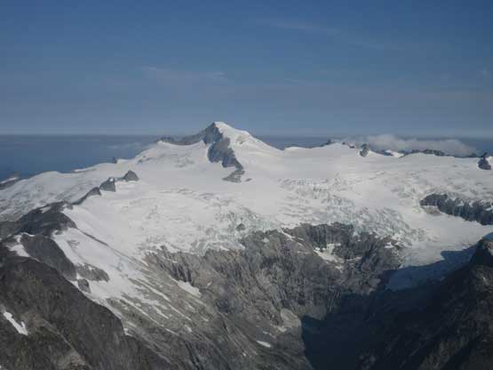
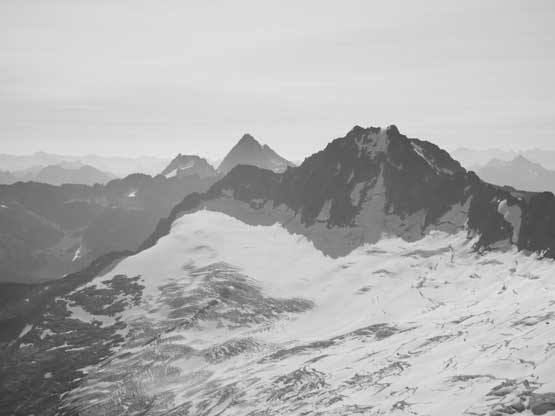
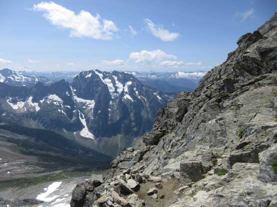
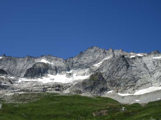
The triangular shaped Forbidden Peak is one of the greatest summits in the North Cascades, listed in the fabled Bulger list and has no easy route to the top. The west ridge is by no doubt one of the most popular intro/intermediate-level mountaineering routes in the state thank to the inclusion in the Fifty Classic Climbs of North America while the North and East Ridges, as well as the Torment-Forbidden traverse (TFT) do offer greater challenges for climbers. The “East Face ledges” is the least technical route to reach the summit and is reported to be mostly “class 4” but the loose rocks combined with challenging route-finding makes it significantly more hazardous than the west ridge such that one rarely hears a report of the “scramble route”. To me the west ridge is definitely the way to do it. It’s mostly 4th class on solid rocks with a few low 5th class stretches here and there so totally within my capability even if I had to lead the whole thing. The worst of this route is to gain the ridge. Either by the snow couloir (early season), or the Cat Scratch Gullies (summer/fall) one must be willing to take some unavoidable objective hazards.
I had been wanting to climb Forbidden Peak for at least two years but finding the right partner seemed like a pain in the ass. This was because I didn’t want to prioritize my summer goal(s) on this particular objective. Forbidden Peak is great enough to be a major undertake but not yet great enough such that I’d be willing to cancel a 11,000er trip or an expedition. I missed out climbing it with Eric G. in the summer of 2018 because of Mt. Fryatt, and then I missed it out again earlier in this year with Jake R. because of Mt. Caubvick… This really sucked as it meant I had to find another partner. This is not a peak that I’d do with just a scrambler because of the length of 4th class “scrambling” that’d be too slow to solidly protect. One needs to be comfortable soloing long stretches of exposed 4th class and/or be very efficient in the technique of simul-climbing, and fitness also plays a big factor on the overall efficiency. To further complicate things this is one peak that I would definitely NOT do on a weekend because of the hordes. My partner needed to be flexible in weekday time frame and be able to pull the trigger as soon as a window formed. Eventually after putting some open invites on Facebook and emails Connor M. got back to me that he’d be totally down for this mission. Our approach was to break the climb into two days even though it wasn’t necessary, and carry a 60 m single rope to simul-climb most of it in favour of overall safety. We were both efficient on short-roping so there’s no risks in timing it out, plus the conga line should theoretically not be an issue on a Thursday.
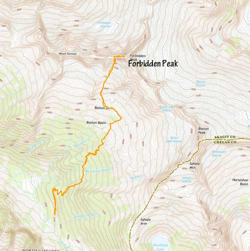
Forbidden Peak via West Ridge. GPX DL
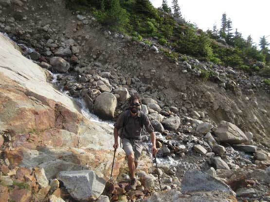
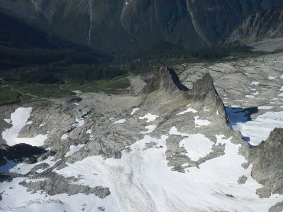
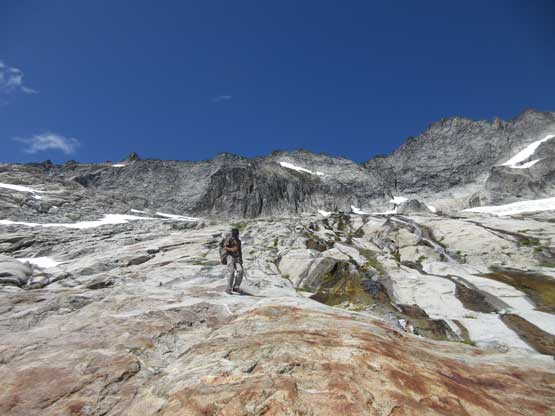
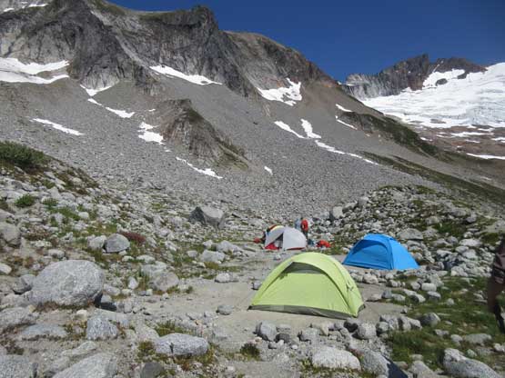
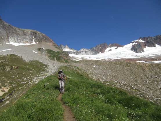
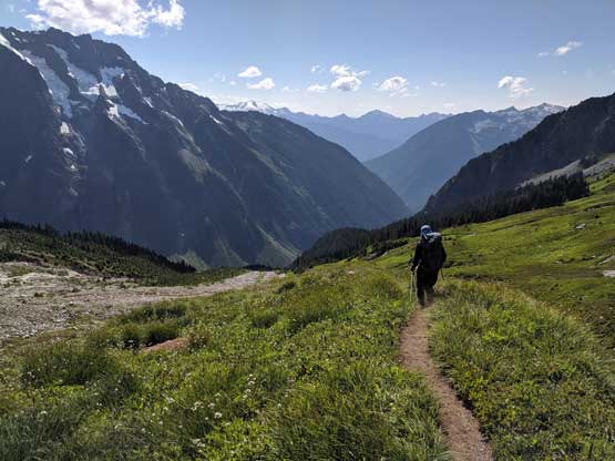
Connor is one of the few climbers significantly faster and stronger than me that I had met in the past. We weren’t in a hurry on Wednesday. The plan was to get to Marblemount for a permit at 3:30 pm before it’s closed, and start from Boston Bain trail-head at 5 pm. We agreed to not carry stove/fuel and instead, we decided to pack a bag of Subway sandwich for dinner. The approach to the high bivy took us under 2 hours on a steady pace. The few stream crossings certainly required some caution but overall I found this trail much better than what people made it sound. I understand how rock climbers hate this trail but I’m used to bushwhacking in BC and having a trail is downright luxurious no matter how steep/unpleasant the trail is, not to mention that this trail was neither steep, nor unpleasant. I actually preferred this trail over the nearby Cascade Pass Trail because I hated switchbacks and would rather to go straight up and down instead. There wasn’t without worry though. We got our permit only because of a “no show” and were the 6th party registered to camp in Boston Basin that night. There were at least 4 big 3+ person tents at the high bivy and it started to feel like we might got stuck behind slow parties. I said we had to either start in dark, or pass them all on the approach and we agreed for the latter. It was shockingly sad how overcrowded this place was even on a Thursday…
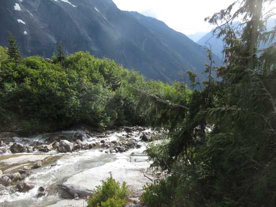
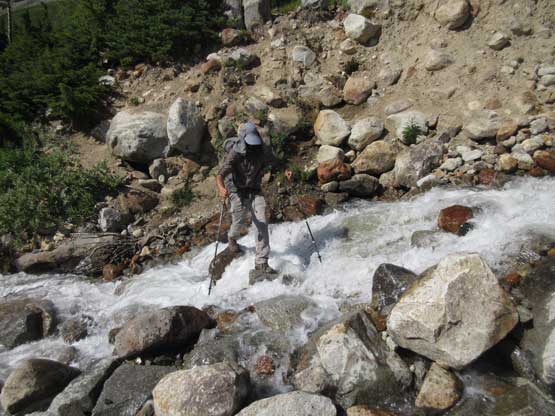
One of the few streams that we crossed
Connor just after crossing another stream
Arriving into the lower Boston Basin near the lower bivy site.
Me continuing up into the upper basin. Photo by Connor M.
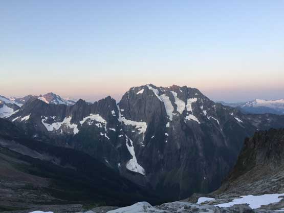
Johannesburg Mountain stole the show looking back
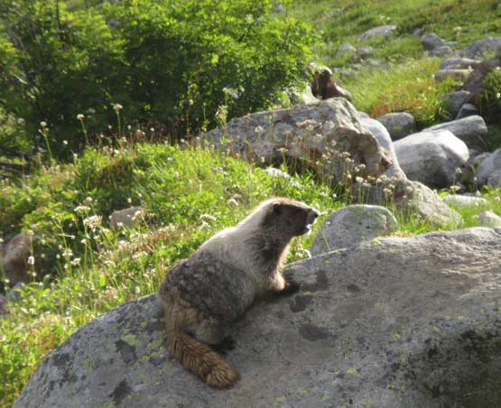
Boston Basin is home for many marmots
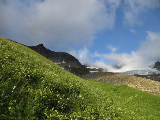
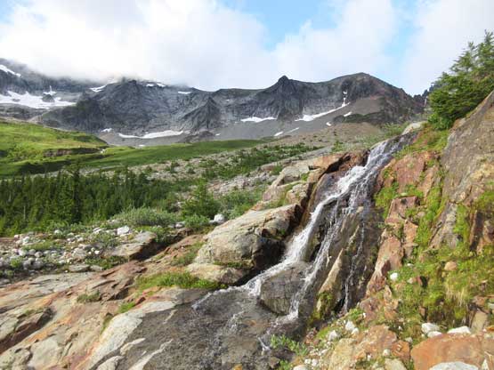
Nice and grassy.
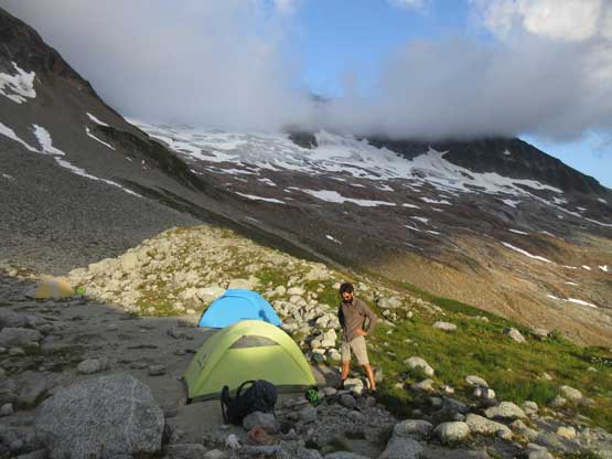
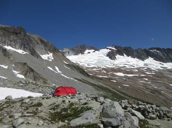
We decided to camp at the upper bivy
The clouds finally lifted at evening and Boston Peak showed up
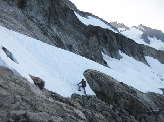
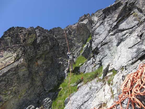
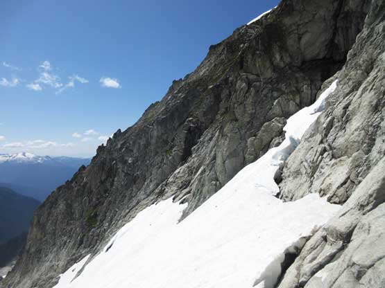
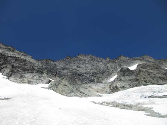
The next morning we woke up at 5 am and started at 5:30 am before sunrise. Right away we noticed nobody else on the glacier so that’s good. This meant they were either already on the ridge, or hadn’t waken up yet. We still went for as fast as we could just in case but it started to feel like those tents were deserted and just left there for guides to use. There was no one else going up Forbidden Peak on that morning and we might have the whole route to ourselves, so we slowed down a bit and took some time donning crampons. The aluminum crampons did not fit well with my trail-runners and slipped off at least two times while side-hilling. The upper glacier was 30-35 degrees, frozen solid and I felt pretty exposed with the flexible footwear. I was very glad the snow was finally over and we could ditch the ice axes and crampons and don harnesses at the base of Cat Scratch Gullies.
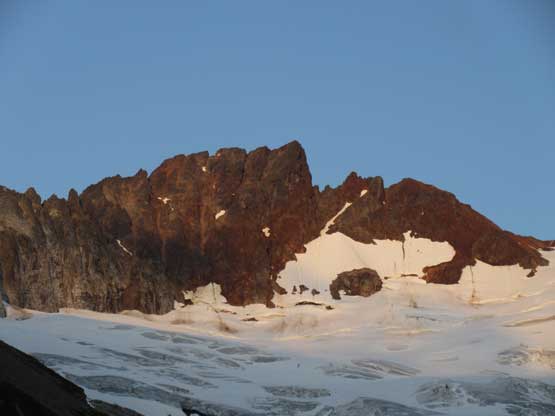
Morning horizon behind Johannesburg Mountain
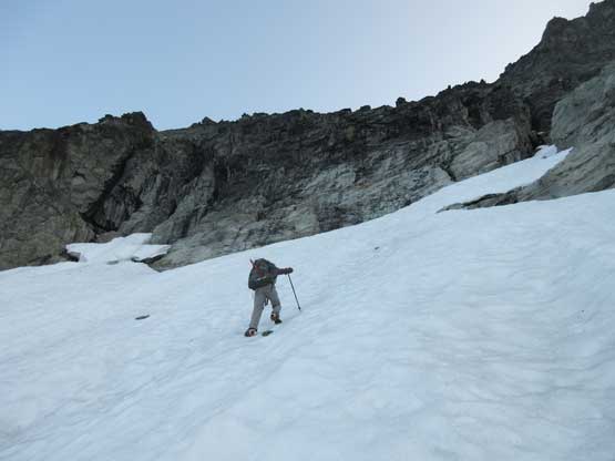
Connor climbing up the 35-degree snow near the top of the glacier
The snow-rock-snow transition on the “rock island”
Another photo of the morning light shone on Johannesburg Mountain
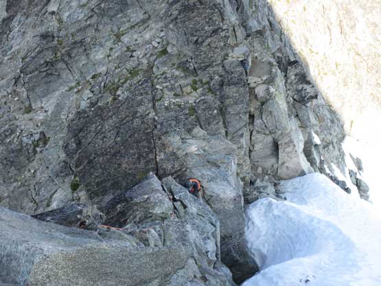
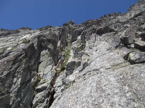
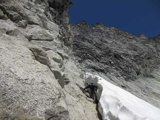
The gully didn’t look bad from below and I thought I could just scramble it in my trail-runners and this turned out to be a mistake. About half a rope length into the gully I came to a spot that all “holds” were down-sloping. The gully wasn’t as chossy as people make it sound, but I was not comfortable on down-sloping terrain like this, so I did an awkward transition swapping for rock shoes, but the problem wasn’t completely solved. I climbed a few steps of 4th class but there’s one spot that I didn’t feel comfortable with – loose, down-sloping, very exposed and kind of wet. Connor was above me at a rappelling station and I needed him to toss the rope down to me. I could have mantled this step up but the consequence of breaking a hold there would probably be death and I didn’t want to risk it. The transition took about 5 minutes and I simply just froze there holing myself onto the tiny ledge. I was surprised the rope reached me on the first toss as Connor was at least 20 meters above me. Because the rope was already out we just took turn pitching the whole gully out from there onward. The upper gully was mostly just 3rd class but since time/traffic wasn’t a problem on this day we didn’t have to rush. I also learnt that rock shoes and steep grass/dirt did not get along well…
Connor starting up the gully.
The gully soon became steep and had stiff 4th class climbing
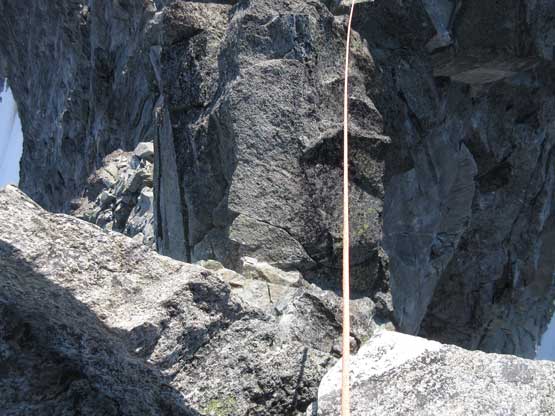
The rope came out and this was Connor near the notch
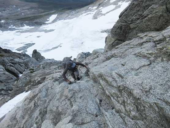
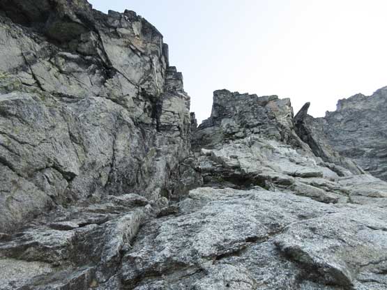
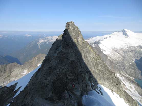
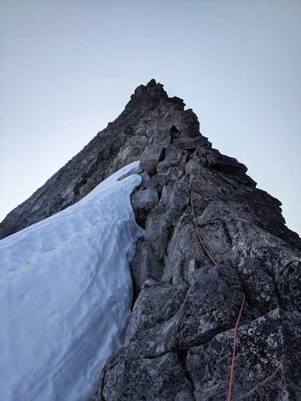
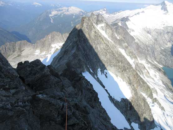
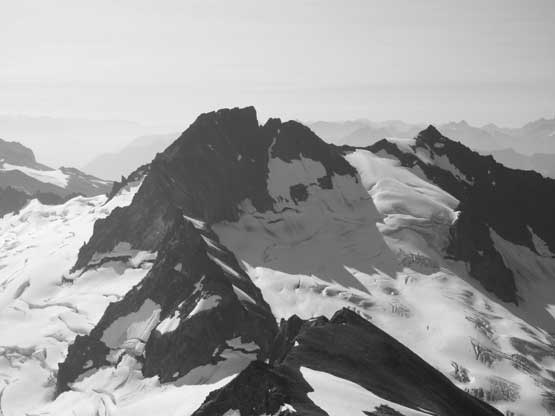
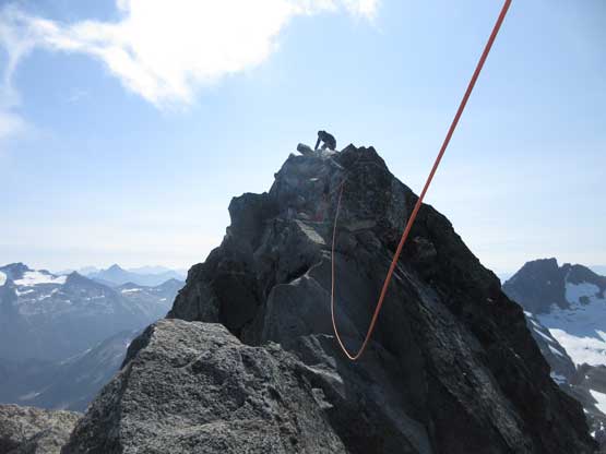
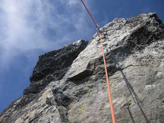
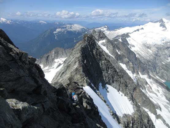
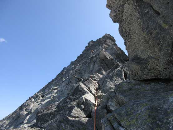
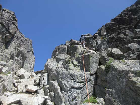
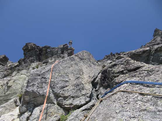
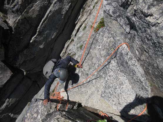
The gully was much harder than I thought and I started to wonder how bad the ridge was going to be, but it turned out that the worrisome was totally unnecessary. The ridge was mostly exposed 4th class climbing on solid, blocky gniess with a shit ton of positive holds which turned into my expertise. I went ahead leading the simul-climb and got the flow very quickly. In two long simul pitches we arrived at a fixed piton and this suddenly reminded me the picture I remembered about the crux tower. The climb definitely didn’t look 5.6 to me so that’s why I didn’t realize I was at the crux until I was actually there. I shouted out to Connor to inform him we were already at the crux. Connor wanted to lead it so I belayed him up to the piton and let him to run a short pitch. The climbing was definitely not 5.6 and very short and sweet. Above the tower I took over the lead and went for another pitch of steep 4th-low 5th class rock before transitioning back into simul-climbing. Connor got to lead the last crux, an airy down-climb from the false summit. To follow that step safely I slung around a big block and let Connor to top-rope belay me from the true summit. The down-climb involved one mantle move with nothing but air underneath, but with a top-rope belay this was super fun.
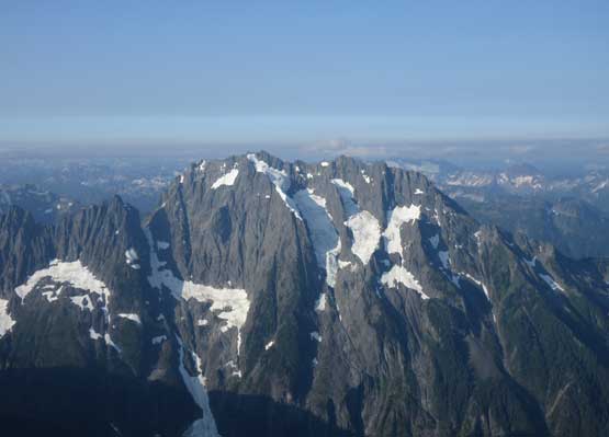
Just have to show another photo of Johannesburg Mountain
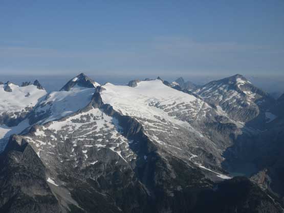
Klawatti Peak, Austera Peak and Primus Peak on Inspiration Icecap
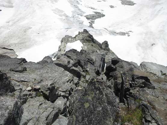
This is the other side of the notch coming a long ways from Mt. Torment
Connor just about to do that airy step-across.
Me leading up the ridge. Photo by Connor M.
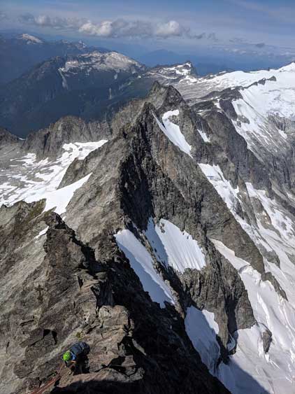
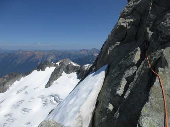
Much of the west ridge was in shade so we didn’t get too many good pictures
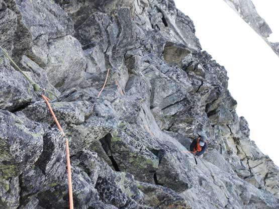
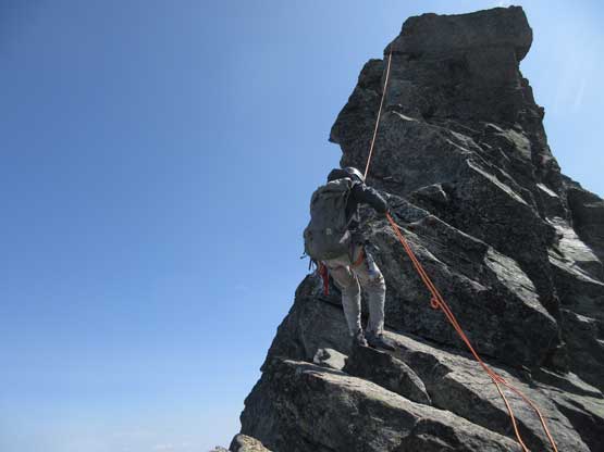
This is Connor climbing up a steeper stretch
Eldorado Peak looked gorgeous

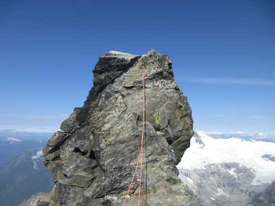
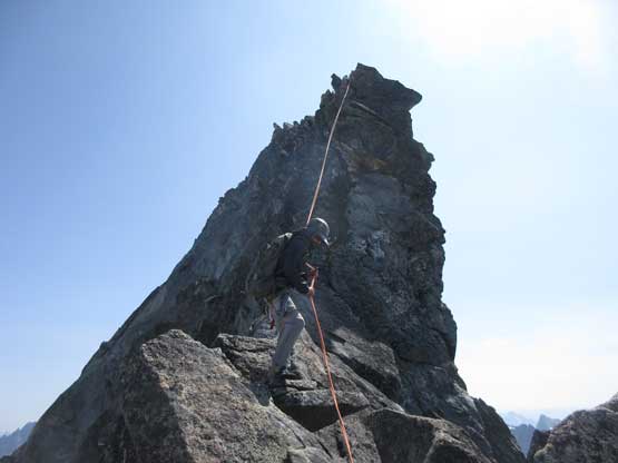
Connor near the crux tower now
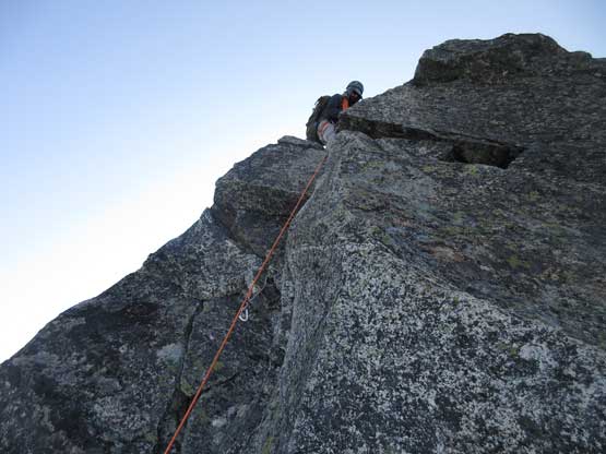
Connor led up the crux pitch
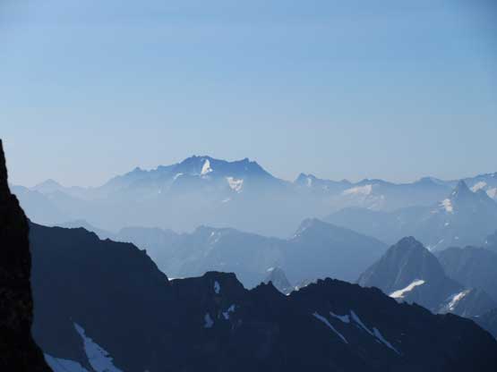
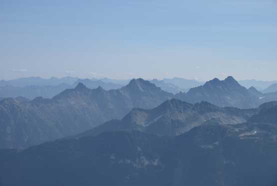
Bonanza Peak to the south poking above the haze layer
Another photo of Connor high up on the west ridge of Forbidden Peak
Looking down at the airy down-climb off the false summit
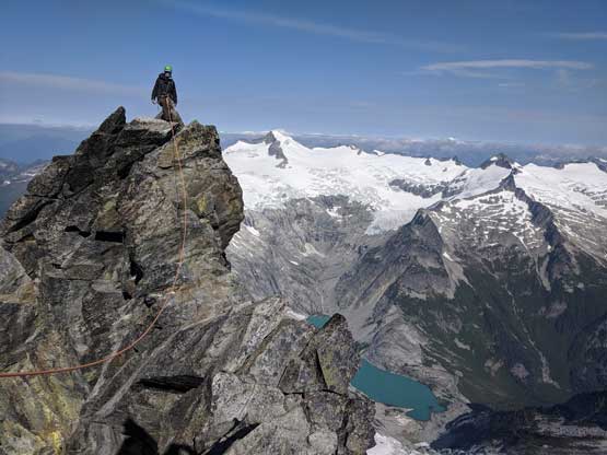
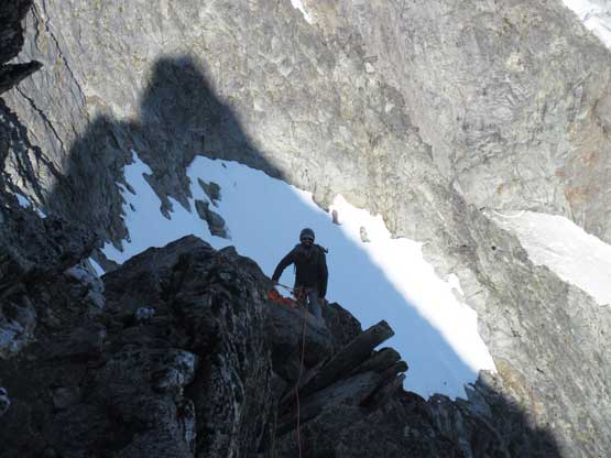
Me arriving at the false summit of Forbidden Peak. Photo by Connor M.
Looking back at the block of false summit
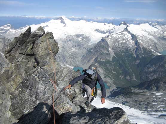
Connor on his last few steps to the true summit of Forbidden Peak
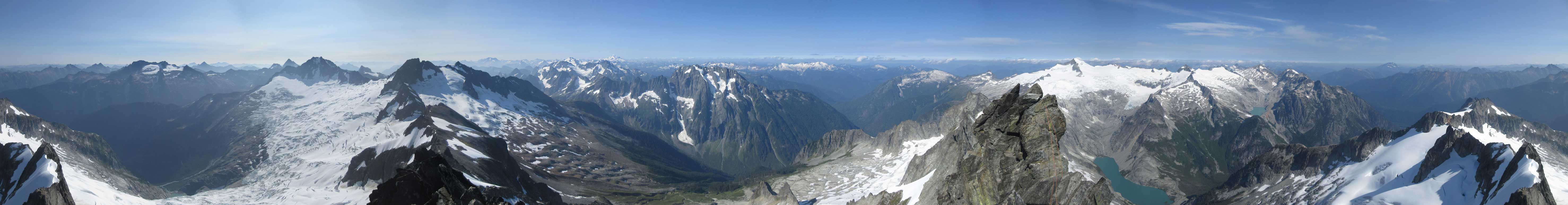
Summit Panorama from Forbidden Peak. Click to view large size.
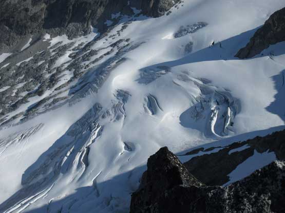
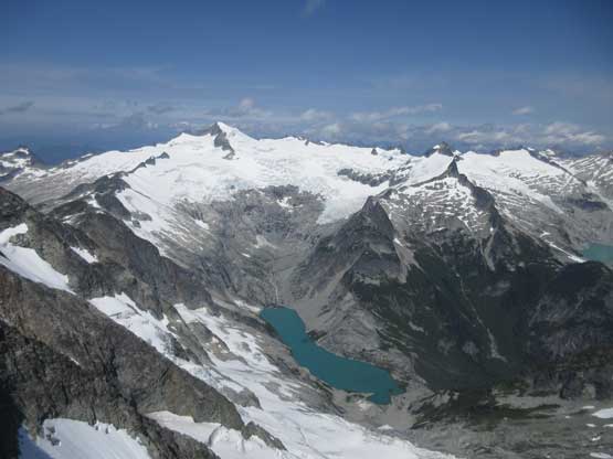
Crevasses on Forbidden Glacier to the north
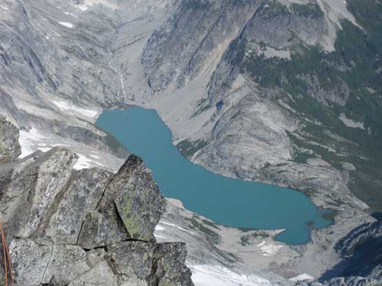
Moraine Lake is drained by Inspiration Icecap
Primus Peak and Tricouni Peak on the northern end of Inspiration Icecap
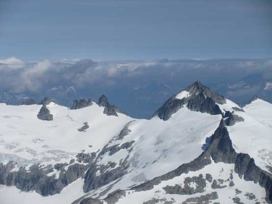
Klawatti Peak is another Bulger on the icecap
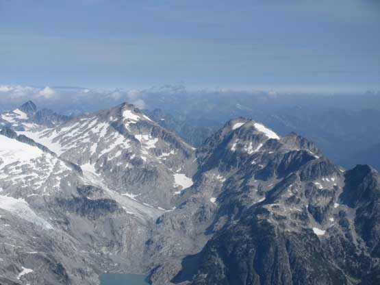
The four Bulgers on Ragged Ridge
Mt. Logan
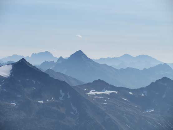
Black Peak with Silver Star Mtn. and Gardners behind
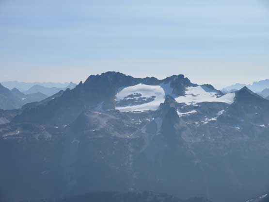
Buckner Mountain and Boston Glacier, with the fang of Goode Mountain behind
Boston Peak and Sahale Peak that I climbed a week prior
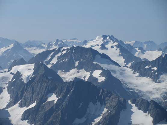
The glaciated massif of Dome Peak rises behind Spider Mountain
This is looking down into Boston Basin
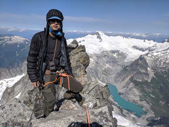
Me on the summit of Forbidden Peak
We did not linger long on the summit because it wasn’t very roomy to sit around, so quickly started the descent. We top-roped each other back up to the false summit and started a pitch of simul down-climb back towards the tower crux. We decided to rappel at the crux zone but somehow fucked up the rope. We forgot to undo the Kiwi coil and the rope instantly became mangled. It took us over half an hour to clean the rope. The rappels were a little bit awkward too because of the ridge nature such that after the tower crux we opted to simul down-climb the rest of the ridge. The down-climbing was airy, but mostly easy and fun. I spent another half an hour trying to take a stuck cam out of a crack but failed. That green cam was probably forever donated to the route so I just clipped it in as a fixed pro and continued down-climbing. Meanwhile we passed two other climbers on their way up from Torment-Forbidden traverse and this turned out to be the only other party on route.
On my way back to the false summit, looking back at Connor on true summit
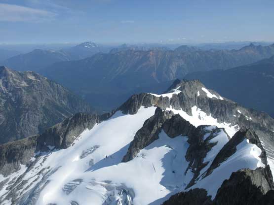
This is looking over the sub-summits on the north ridge extension
The climb onto false summit was very vertical but with a top-rope belay
Eldorado Peak and Moraine Lake make the classic “Forbidden Peak shot”
Me leading down the first rappel. Photo by Connor M.
Connor on the first rappel we did
Connor on the second rappel. This one got us off the crux tower
Another party-of-two on their way up after coming from Mt. Torment
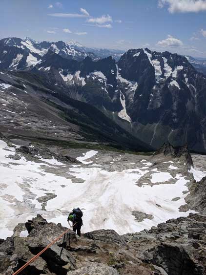
Looking back at Connor down-climbing the west ridge

Yet another photo of the west ridge
To avoid touching snow we had to do the airy step-across again
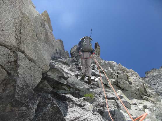
At the top of Cat Scratch Gully we spent some time for footwear transition (back to trail-runners) then easily down-climbed some class 3 grass/dirt to the first obvious rappel station. We decided to rappel the entire gully and this turned into a slow show. First of all we should have rappelled the down-climber’s left side but went for the right side gully. This added one cross-over rappel midway and not knowing where exactly the next anchor was we had to break one full rappel into two or three smaller ones. The last rappel has two freshly placed bolts and led down into an overhang. The rope wasn’t long enough to clear the snowpatch so we had to down-climb tricky slabs squeezing in the moat.
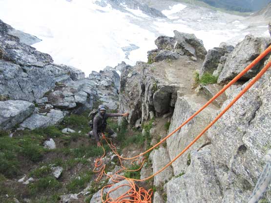
Taking a break at the notch sorting the rope out
This is a sideways view towards Johannesburg Mtn. from the top of gully
Connor on the first of the 5 or 6 rappels in Cat Scratch Gully
This is looking down from the upper gully
Me on another rappel. Photo by Connor M.
Connor on the next rappel.
The rappel was awkward due to diagonal dragging
Finally rappelling into the correct gully. We were a bit off route on descent
This overhanging rappel had a 2-bolt anchor
Tricky down-cllimbing in the moat because we ditched snow gears lower down
Finally looking to merge back onto the glacier
The snow had softened down in the afternoon heat so the descent of this glacier was much easier than in the morning. The upper section still required crampons but halfway down the glacier I removed them and went for some boot-skiing (on trail-runners). I was semi-successful on that. We took a lengthy break below the glacier to dry off our shoes but then heard a sudden BOOM above us. The pocket snow patch had broken loose dropping a loads of shit onto the path we just descended 20 minutes earlier. It was a scary watch so we quickly packed things up and wanted to get the hell out of here for as quickly as we could. Meanwhile another patch of snow broke loose but didn’t dump as many chunks as the previous one. We had no mood to do another long break, so quickly broke camp and informed other climbers the unstability of that hanging snow patch. The hike-out took us under 1.5 hours on a fast pace.
Forbidden Peak from the pocket glacier
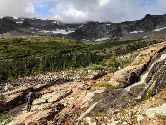
Hiking down a long stretch of water worn slabs
I’m sure this tent was left there for guides. Nobody used it on this day
Back to our tent now
A review shot to show the hanging snowfield that broke above the route
Hiking down the trail now.
Me plunging into the deep Cascade River valley. Photo by Connor M.
One last shot of Forbidden Peak
Connor on one of the trickier creek crossings
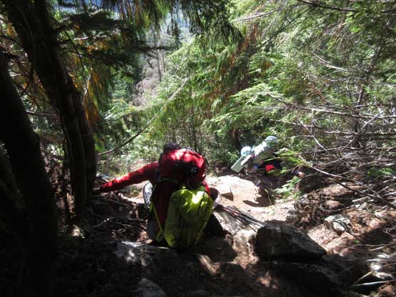
Passing other parties on descent.
Our round trip time was 13.5 hours sans camping time and I considered this as pretty quick given the amount of rope work we did. Connor and I worked really well together and the success of Forbidden Peak in a timely manner was a great team work. We even managed to get back home by dinner time. Not bad, not bad.
