Mount Woolard
August 2, 2026
366m
Orcas Island, WA
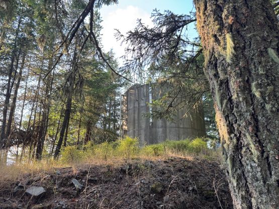
Mt. Woolard boasts over 300 m prominence on Orcas Island but the entire hill is basically a residential area, that the access is not “straightforward” for hiking and peakbagging purposes. We all know what that means so I need not to elaborate. There’s a house right on the summit but the highest point is supposedly to be the water tower behind the house which makes the situation slightly “better” than Lookout Hill to the north. I actually did this objective twice in two consecutive days as I wasn’t 100% sure if I had tagged the true summit on the first try. It turned out that I was at most 15 horizontal meters away from the water tower but in the fading lights I couldn’t tell.
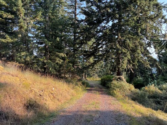
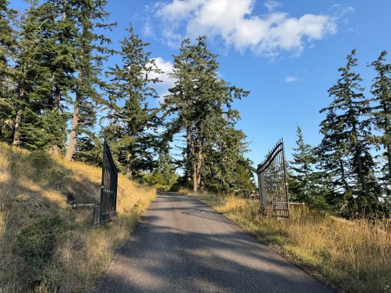
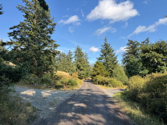
My plan was to tag Mt. Woolard right after landing on Orcas Island but the ferry was delayed, that it was already dark when I drove up the access roads. I ignored one “private” sign but parked in front of the upper gate. That gate was surprisingly open but I didn’t feel safe to drive past it, especially at 10 pm. It was also drizzling so I quickly dashed up the road. Unfortunately it was dark enough that I had to turn on the head-lamp, and that basically resulted me turning around. The highest house had lights turned on so it had people inside, that I thought the risk of being shot was too high if I ventured too close and got discovered. I did bushwhack a little bit ways around on the right (east) side and I thought I had reached the highest point, but I couldn’t remember where I was exactly and I definitely kept a healthy distance from the house. I only read the trip reports afterwards and at least two reports mentioned the water tower, so I thought I had to mark it as an “attempt” and come back the next day in daytime.
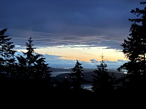
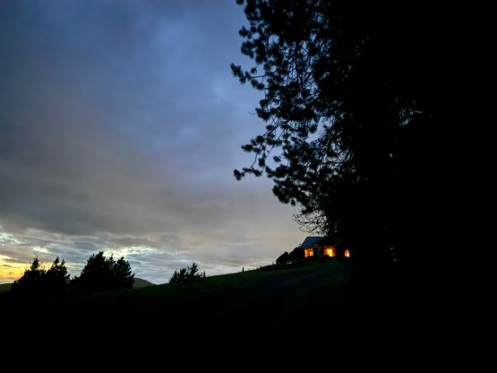
Sure enough on the next day I parked at the exact same spot and the gate was still open. I opted to take a different approach following Raphael’s GPX track this time. I couldn’t tell if this was a smarter idea of not, because Raphael’s GPX track was actually more in the open than simply plodding up the driveway like how I attempted the day before. Upon seeing the house and the large opening area with nowhere to hide I thrashed down and around to the uppermost driveway. I crossed the driveway and went back to the piece of woods where I explored the day before. It turned out that the water tower was only slightly beyond where I stopped and the elevation difference was basically nil. I probably could have marked it “green” if I knew the bigger picture, but I’m someone with severe obsessive compulsive disorder and is currently in the irreversible stage of this peakbagging disease, so I must come back to be 100% sure.
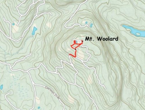
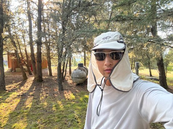
After taking an obligatory victory selfie I quickly descended. I opted to take a 3rd route in between my previous day’s tracks and Raphael’s GPX track and honestly I thought this was the best way. Happy to have finally claimed Mt. Woolard I turned on the engine and drove away. The final objective would be Diamond Hill.