Gunung Agung
July 21, 2023
3031m
Bali, Indonesia
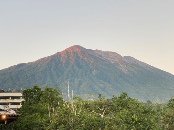
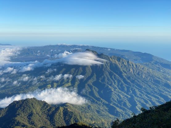
Gunung Agung is the highest peak on Bali Island of Indonesia and subsequently boasts over 3000 m prominence, making it one of the world’s top 100 peaks by prominence. The ascent is very straightforward but does involve over 1800 m elevation gain, albeit on a well-trodden trail. The logistics were used to be simple but in May 2023 the Governor of Bali suddenly proclaimed the closure of all 22 mountains on the island and the prohibition was claimed to be effective immediately. Because of that, Agung was ruled out but then a couple weeks later all the touring agencies started to resume their operations on these peaks such that the ban seemed to be no longer effective, or at least not enforced. I started to ask the guides and eventually got an offer from “Komo” (nickname for security reasons), who’s willing to take us up the mountain and the package included the pick-up from airport.
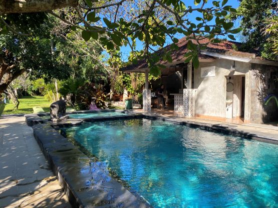
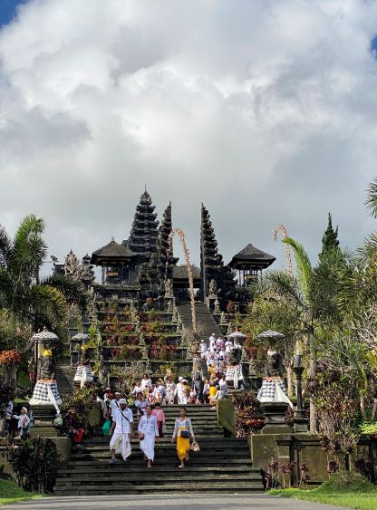
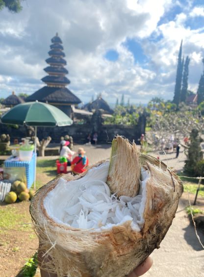
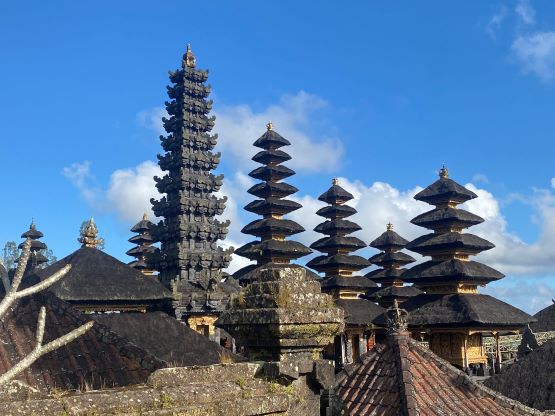
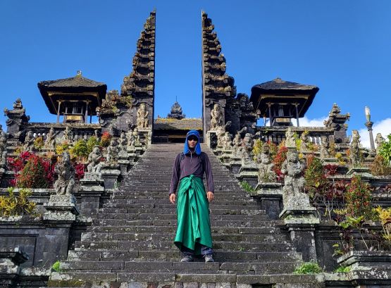
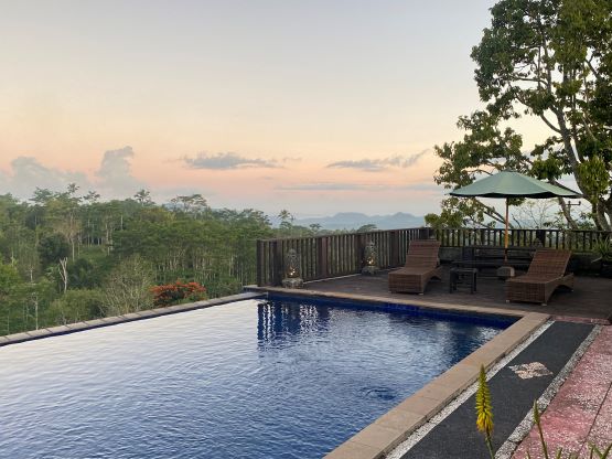
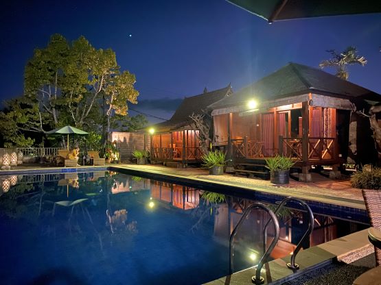
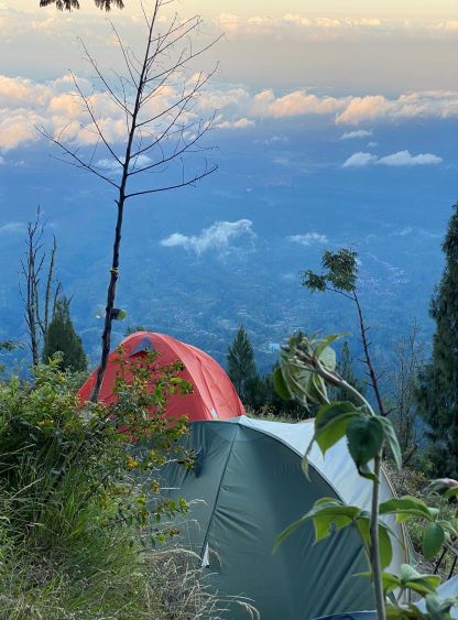
Adam and I flew from Lombok to Denpasar (Bali) after completing an ascent of Rinjani, and the driver was already waiting at the airport. The exact pick-up location was unclear so it took us about half an hour to find the driver, but once we found him the service was excellent. We made the driver to stop at a random Warung (local street food) as we urgently needed some food, and then resumed the 3-hour drive to Besakih at the base of the mountain. Adam had previously booked a hotel for us and the quality of this hotel exceeded our expectation, especially given the relatively cheap price. There’s a swimming pool and not a lot of people. We had the entire afternoon ahead of schedule so Adam suggested to visit Besakih Great Temple. I’m usually not a fan of this kind of tourist places but there wasn’t much else to do, so reluctantly agreed. The visit involved several kilometers of walking and some money cost, but was worth the spent. We ended up spending quite a few hours there. For dinner we opted for Warung again and the guide met us at 7 pm in the hotel to give us some briefing. The final decision was made to meet up again at 4:30 am in order to start hiking by 5 am. The guide suggested to start at 11 pm but we explained how such an early start would not be needed. We had no desire to summit another big mountain in the dark for another time.
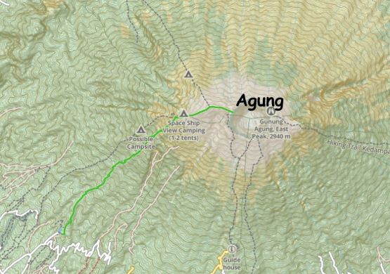
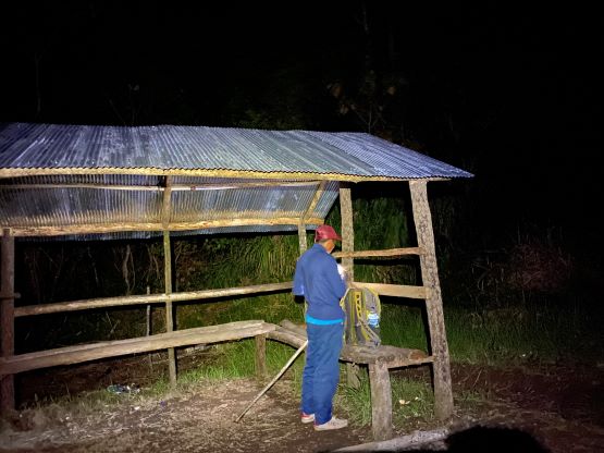
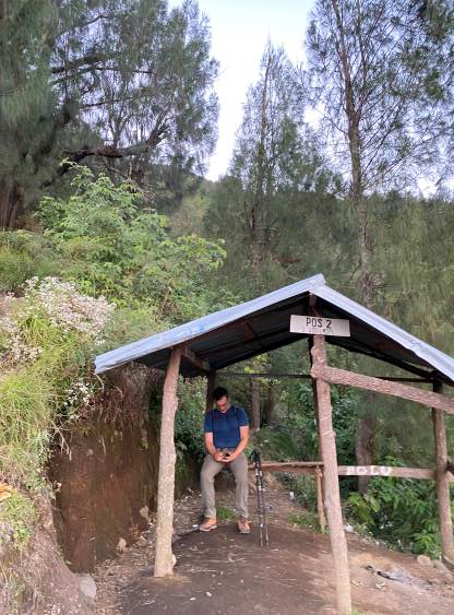
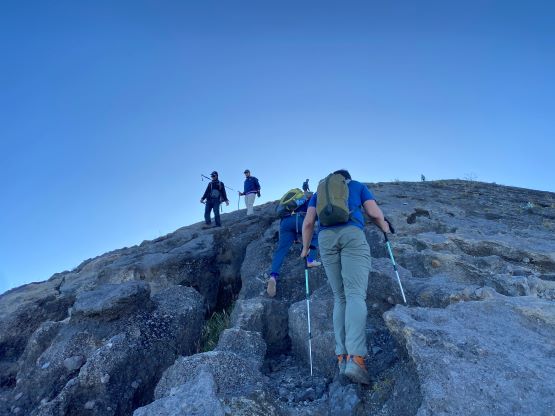
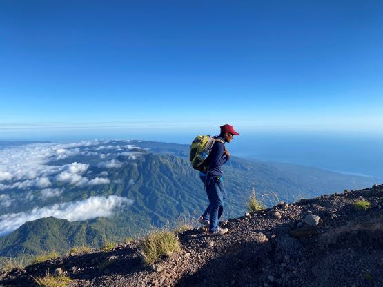
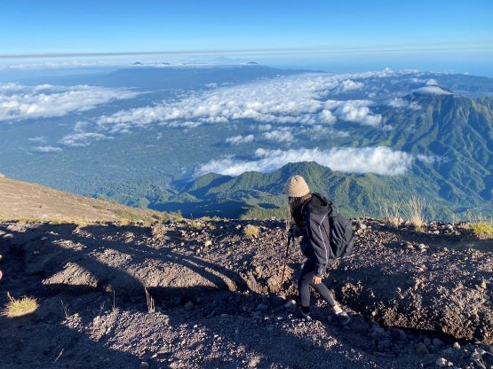
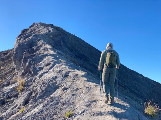
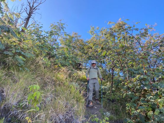
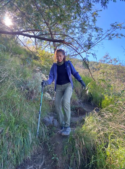
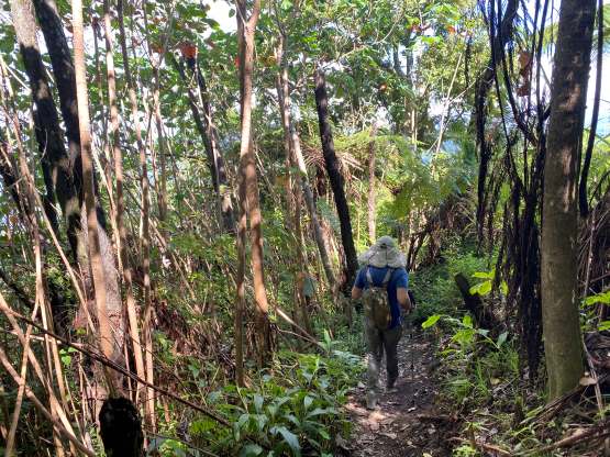
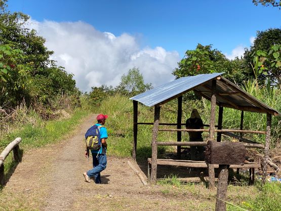
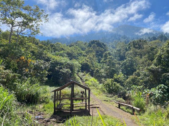
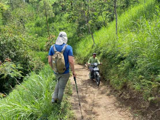
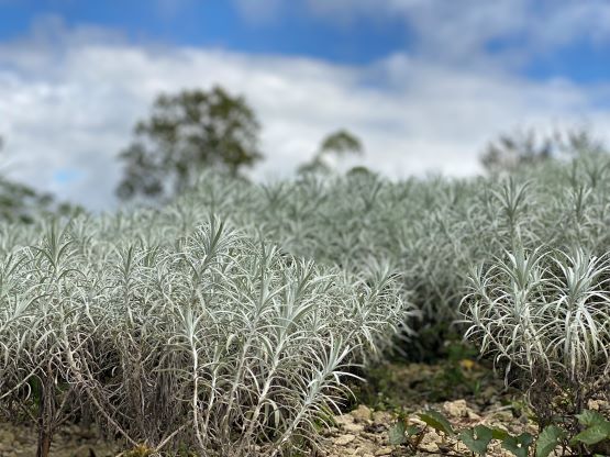
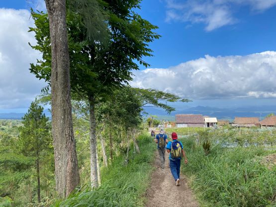
The guide “Komo” showed up on time and drove us a little bit farther than the traditional trail-head. It’s worth to explain here that the route we took is different than the GPX track that I downloaded from peakbagger.com (from Deividas/Dave). The route they took appeared to be shorter with 300 m less elevation gain, but our guide explained why that route isn’t a good one. It took me a while to be convinced as I was not mentally prepared for 1800-m elevation gain, but Adam went ahead to check the satellite images and confirmed that our intended (SW Ridge) route was indeed more pleasant. The other route appeared to require some nasty traverses on volcanic choss and this is further confirmed by reading Deividas’ trip report. The bonus for doing the SW Ridge route was the shorter drive from our hotel. It only took us about 10 minutes to drive and we actually managed to start before 5 am. The guide knew how fast/stronger we were and set a blistering pace right from the start. The pace was a little bit too fast for our likes, but would do. We made sure to stop a few times in several of those “Pos”/rest-stops. There wasn’t much worth noting about the ascent as we just needed to put one foot in front of another on a well-trodden trail. The grade is quite steep especially towards the treeline, requiring lots of “high steps”. I felt having a snowshoeing background helped on this type of terrain.
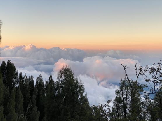


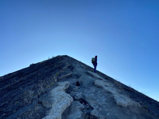
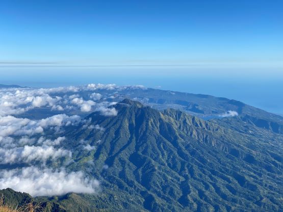
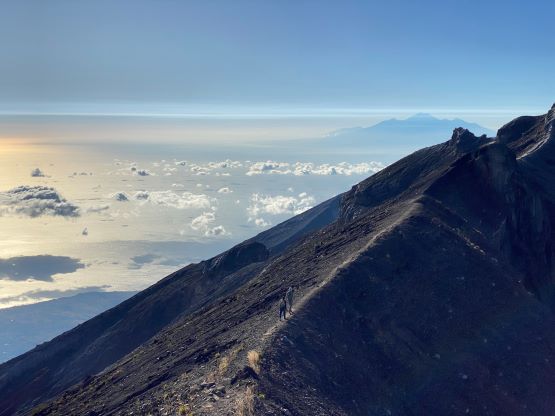
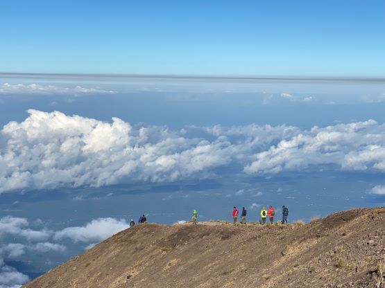
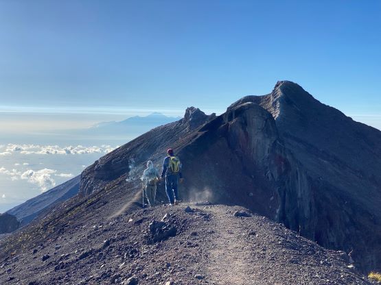
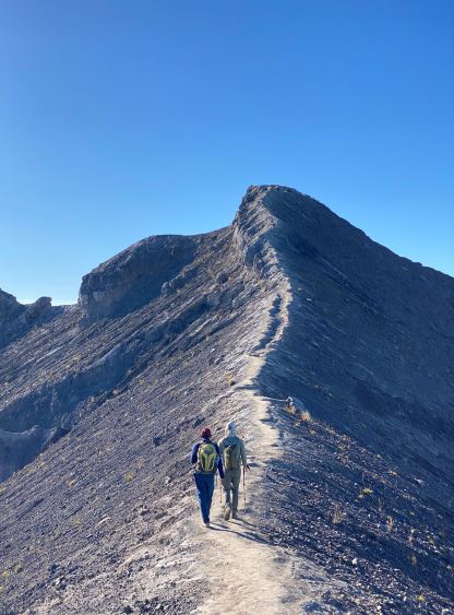
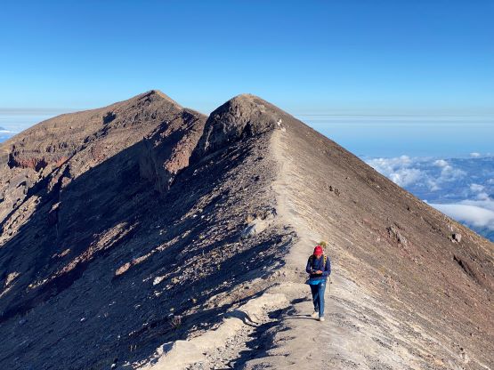
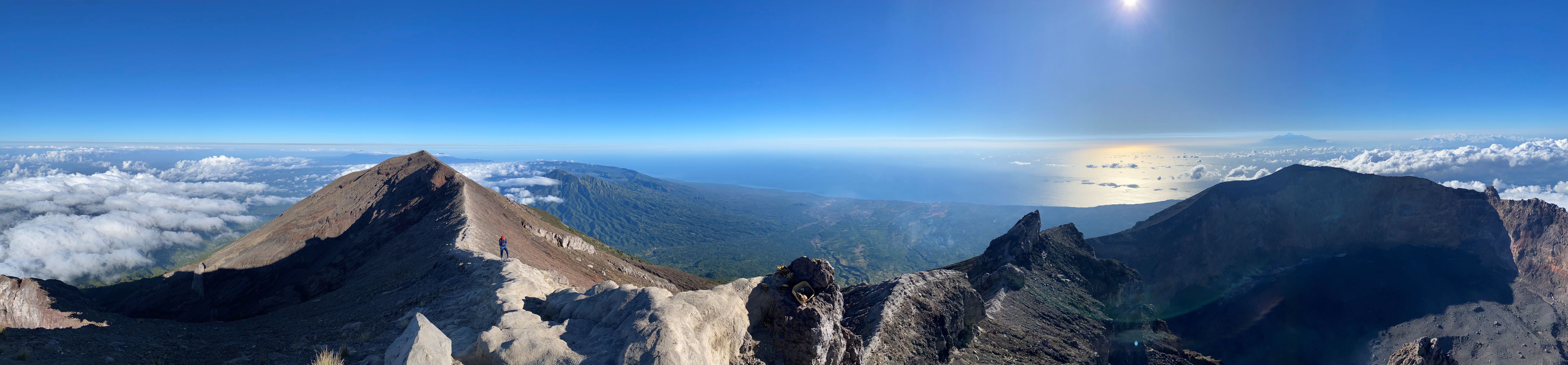
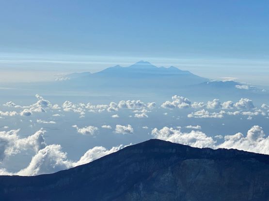
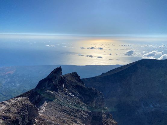
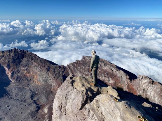
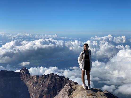
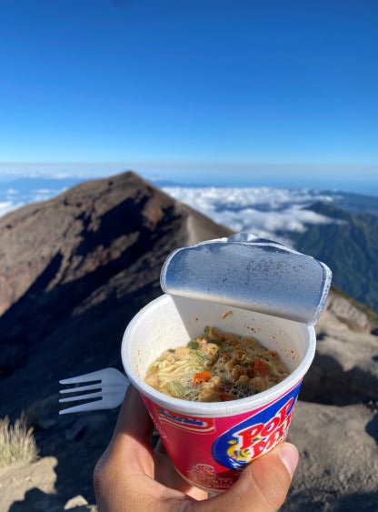
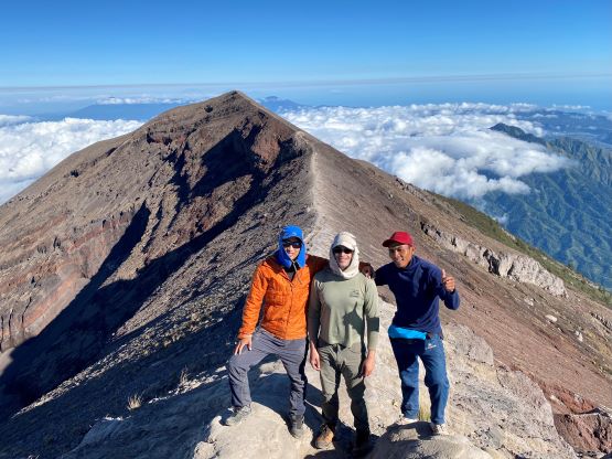
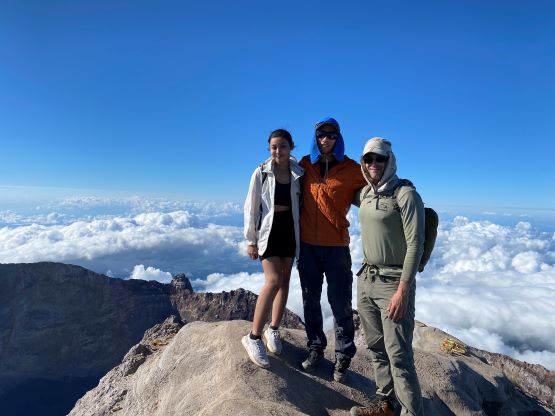
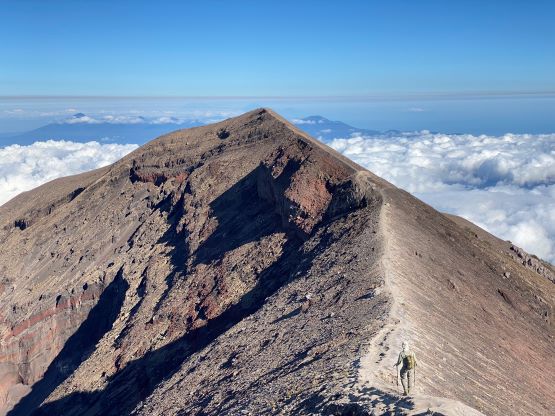
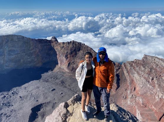
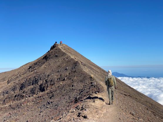
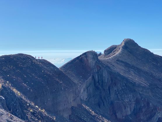
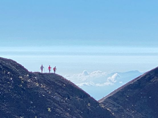
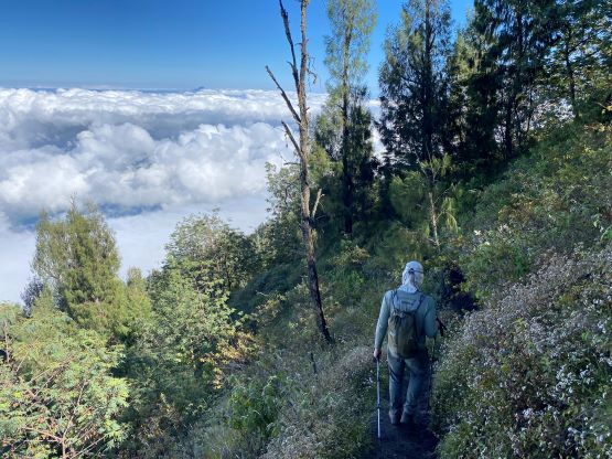
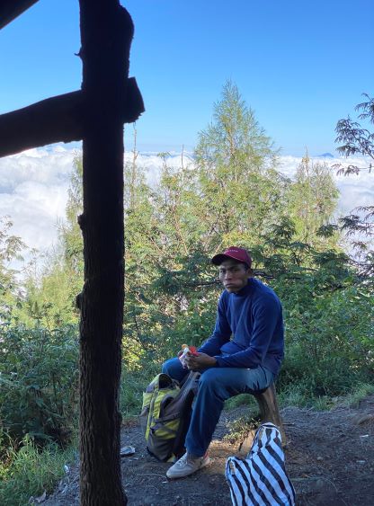
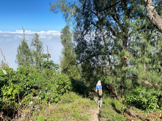
Above the treeline we had to ascend a long stretch of interesting volcanic terrain. The ground was reasonably solid but the trail was not well-defined and sometimes we needed to make some scrambling moves. This was the hardest part of the whole route. Not far beyond we reached the west ridge and easily followed the ridge to the western (false) summit where we crossed path with several groups of hikers. They all reached the summit at sunrise and were now on their way down, but I suspected that we’d see them again an hour or two later. The traverse to the true summit was the highlight of this route with magnificent views towards all directions. There were some up-and-downs but nothing major. A local girl from Bali showed up minutes after us with her guide and we shared the summit together for almost an hour. Meanwhile Komo, our guide, cooked a Ramen meal for us using the stove and fuel that he carried up. Adam refused to eat the Ramen so I got double rations.
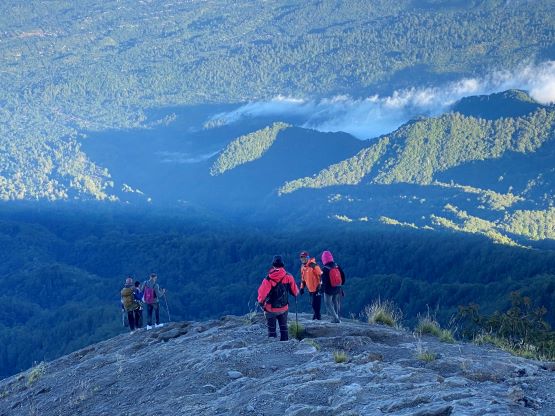


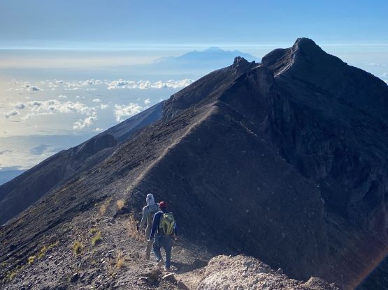
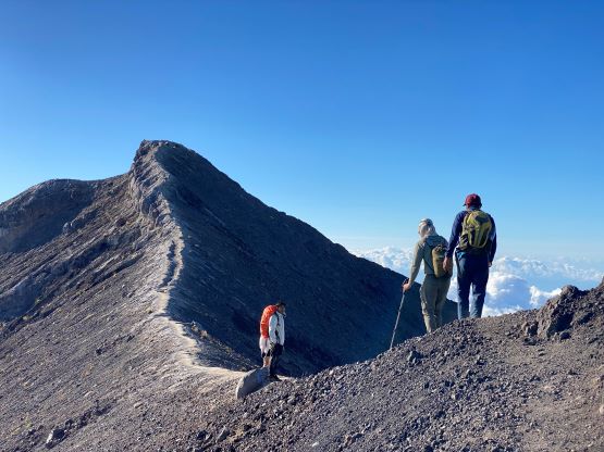


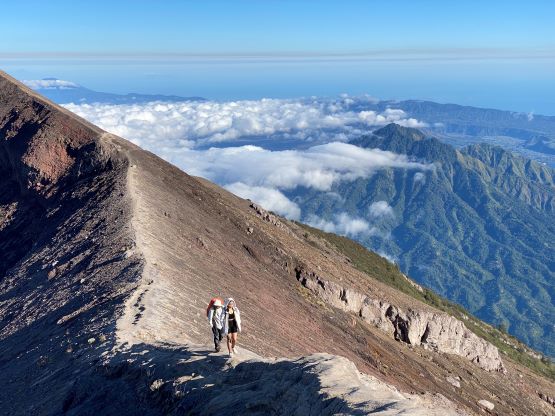
Adam opted for a head-start on the descent while the few of us lingered longer on the summit. I eventually had to give up socializing as otherwise I would have to run a long ways to catch up. Komo and I did ran all of the downhills on the summit ridge and caught up to Adam on the false summit. The descent from there was a tiring game, and the strategy was to break it into stages. The first stage was to negotiate that scrambling section and the second stage was to catch up and socialize with the group that we previously met on the ascent. I thought we’d see them again and I was correct. Unfortunately the rest of the descent was rather boring and tedious and we needed a few more stops to give a break for our knees. Our round trip time was under 7 hours but my GPS shows about 2 hours out of that was spent sitting around, which seemed correct.


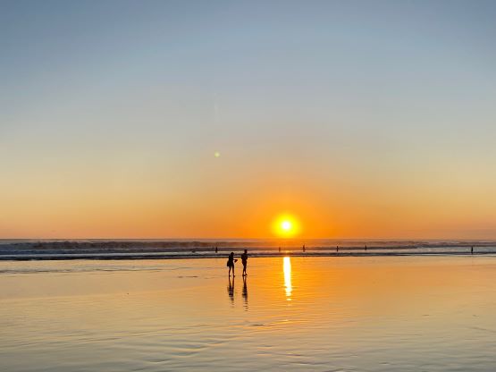
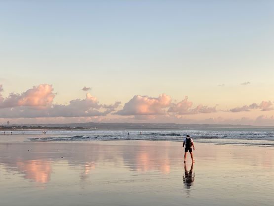
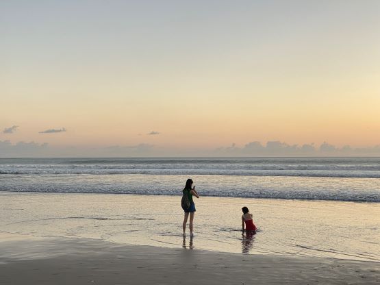
The driver showed up again and drove us back to the hotel where we picked up the ditched luggage. We got back before 12 pm which was basically the latest time for check-out, so the manager even offered us to take a shower, which we greatly appreciated. We then stopped again in a random Warung for a much-needed double-ration lunch, and drove 3 hours back into Denpasar. The traffic in the city was horrible but our driver was skillful. We checked into the next hotel in Conggu and planned to pay a visit to the beach (within walking distance), at sunset.