Mount Princess Mary
August 9, 2014
3069m
Height of the Rockies Provincial Park, BC
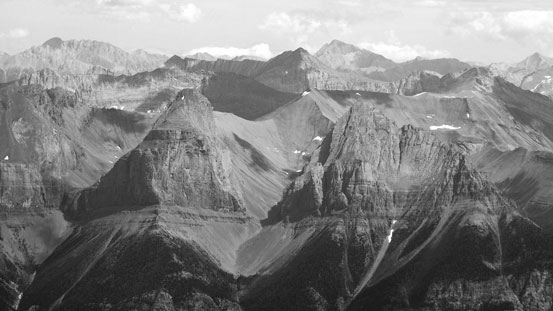
Mount Princess Mary is a minor summit just to the south of Mount King George in the Royal Group – a group of isolated peaks buried deeply in the BC Rockies. Accessing them requires lengthy drive on logging roads, a sketchy crossing of Palliser River and some unpleasant hiking on bushy terrain. There’s no way I’d come all the way up here for just Princess Mary. Obviously Mt. King George was our primary objective, and because we finished it very early in the day we decided to check out Mt. Princess Mary hoping there’s a scramble route up. It didn’t look very scrambler friendly and our only reference was Rick Collier’s vague description, so it’s essentially an exploratory ascent.
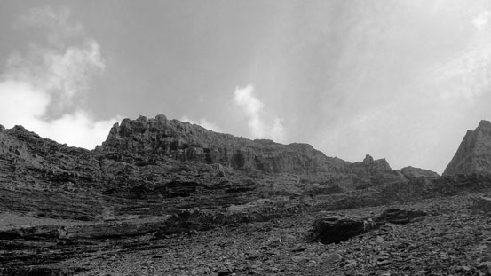
It’s apparent we couldn’t tackle it directly from King George/Princess Mary col, nor from its East/South side based on our earlier observation. Rick did say gaining the south slopes so we figured the route must go up somewhere from our bivy area. From King George we could see two very broad scree ledges leading towards that direction, so rather than losing height back to our camp, we decided to traverse these scree ledges. The scree wasn’t as horrible as on King George and we made progress quickly. Soon we arrived at a big gully. Looking up it appeared feasible to just scramble up this gully to the summit block.
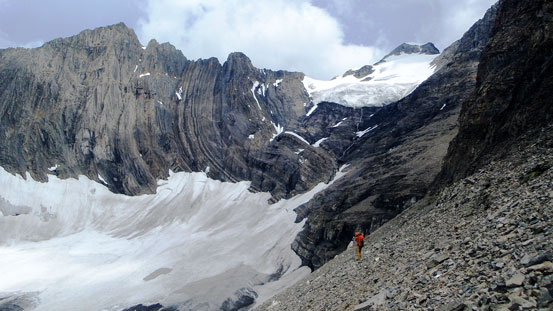
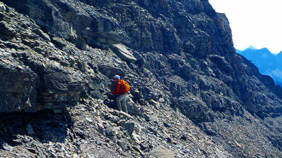
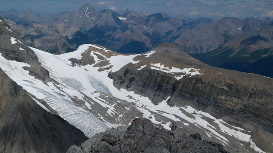
Traversing the scree band with big views behind

Vern traversing around a corner. We ditched extra gears here

Looking up the big ascending gully.
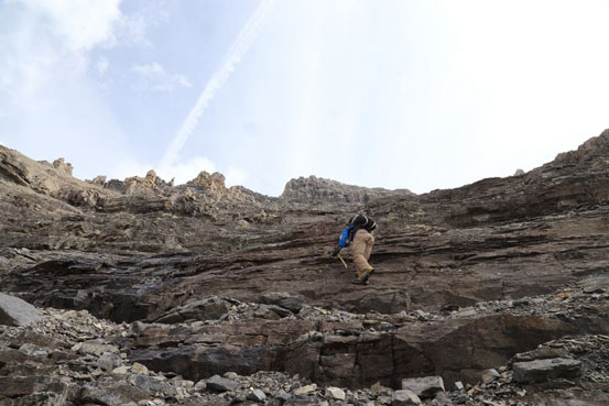
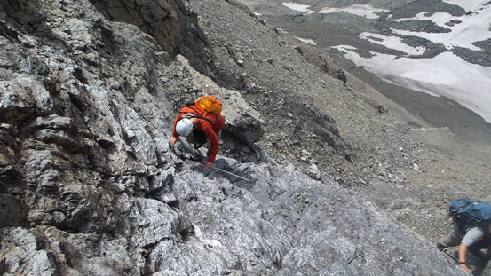
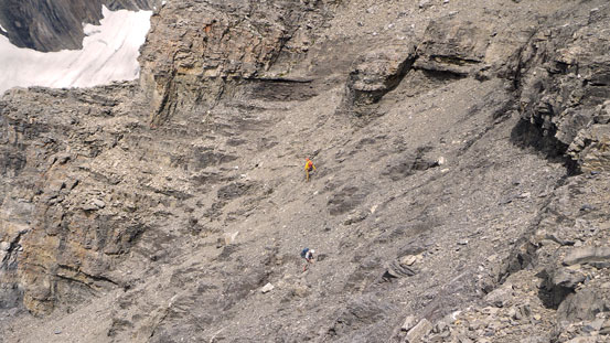
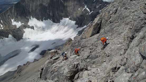
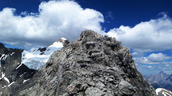
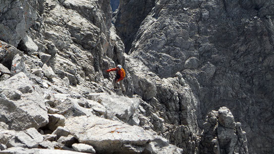
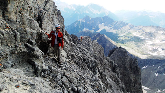
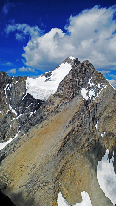
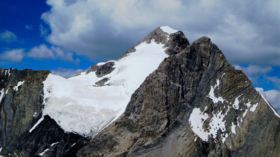
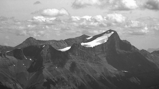
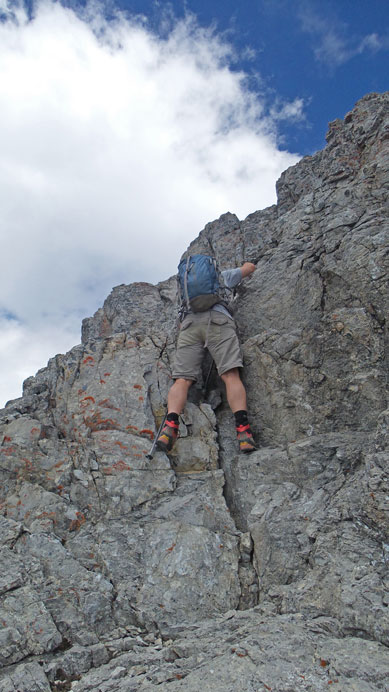
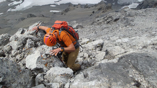
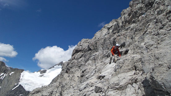
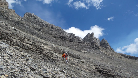
The gully is class 2 scrambling only if you do look for the easiest line. Ben and I went more-or-less straight up overcoming some cliff bands. The rocks were generally solid on these rock bands so we got some enjoyable scrambling. Vern and Eric used the scree/rubble route further to climber’s left and we’d use their route on the descent. Towards the summit block terrain started to get steep and complex – mostly class 3 though, with occasional class 4 steps. But we had to do our own route-finding. I led the way up a loose but easy chimney. I thought we’d be trouble free after that but apparently not. There was more interesting scrambling was near the summit. I went up the ridge with occasional detours to either left or right on moderately exposed terrain while Ben, Eric and Vern picked a contouring like lower down. Both options worked and soon we made to the summit. The old register was placed in 1970s and apparently not many parties had signed it. The best view was looking back towards the south face of King George.
Me picking my way up. Photo by Ben

Vern and Eric ascending the typical terrain in the lower gully
Ben scrambling up
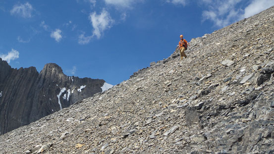
Eric and Vern on some scree slopes
The summit block ahead
Ben picking his line. We ascended parallel to each other around here
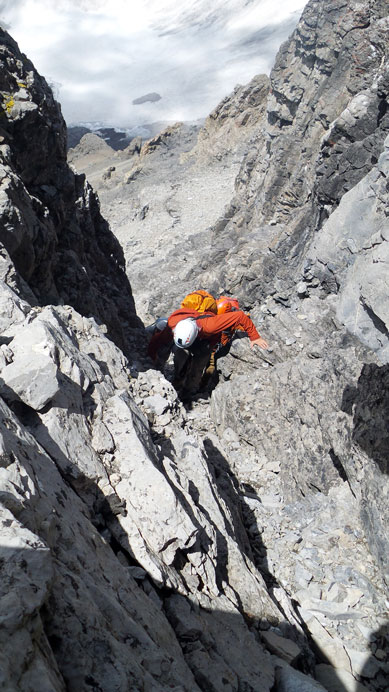
Scrambling up the loose chimney
Above the chimney, we still had to search around
On the summit ridge now
Ben ascending to the ridge
Traversing the last bit

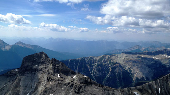
Summit view looking over Prince George
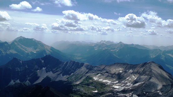
Looking south. Harrison is no longer visible thank to the smoke
Looking west, again, the Purcells are no longer visible now
Straight ahead is the SE Ridge of Mt. King George
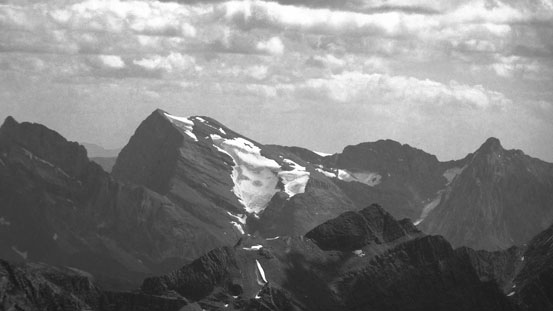
Zooming-in the south face/glacier. Looks pretty steep from here!
Mt. Prince Albert
Mt. Prince George, our objective for the next day

Ben sitting on the summit
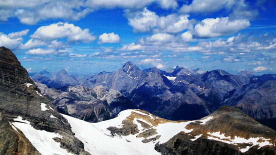
Looking towards the British Military Group
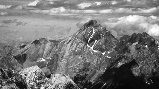
Mt. Sir Douglas
Mt. French and Haig Glacier

Mt. Sarrail and Mt. Foch
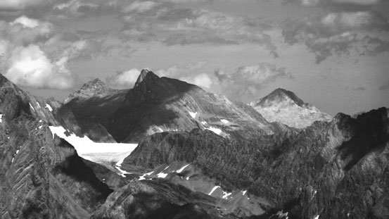
The west faces of Defender Mountain and Onslow Mountain
Mt. Joffre
Mt. Abruzzi – highest in Italian Group just south of Joffre
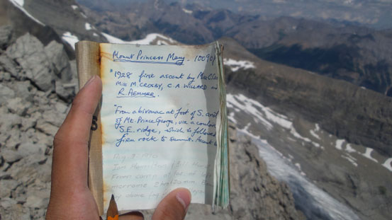
The old summit register
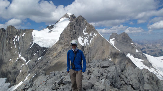
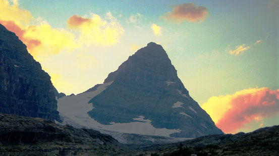
Me on the summit of Mt. Princess Mary, with King George behind
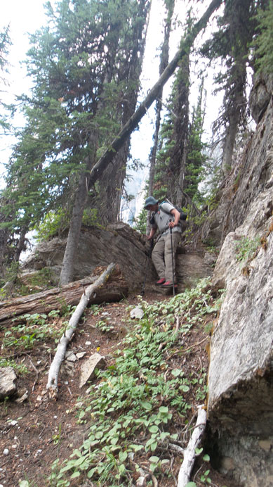
Coming down we used Eric and Vern’s route. I think their route up the summit block was slightly harder than the route I took, but less exposed. Lower down we stayed very close to each other hoping not to kick too many rocks down at each other. Back to easier terrain we scree surfed down the skier’s right. We had the option to explore a more direct way down towards our camp but not wanting to take any chance we decided to traverse back across the scree ledge – a somehow tedious option but not too bad. Hiking back down the hanging valley was long, boring and tiring – mostly because of wearing rigid mountaineering boots down the concrete hard moraines…
Eric down-climbing a short step near the summit
Vern down-climbing
Ben descending the summit block
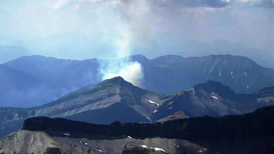
Forest fire somewhere nearby
Back to easier terrain
Scree skiing!

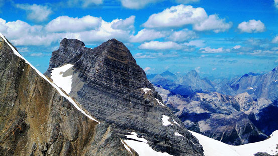
Looking back – Princess Mary looks quite rough

Descending the long but very scenic valley

Through the gap of these two rock walls we could see Mt. Joffre

Back to the tundra field
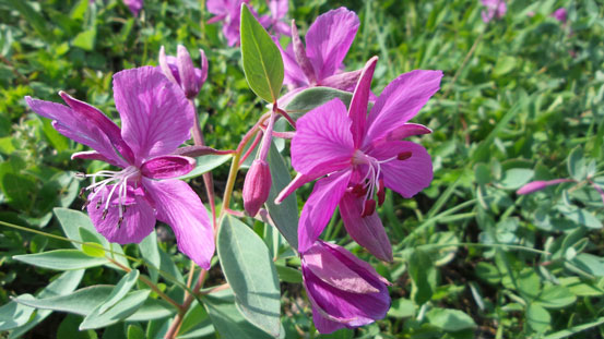
Flowers
Almost back to camp – what a prime bivy spot!
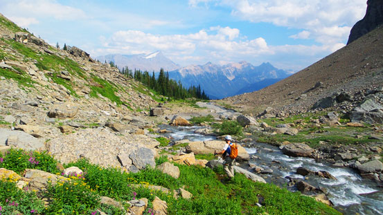
Back to camp, it was only 5 pm ish so we still had lots of time to kill. After a short break we broke camp and started the hike back. We’d relocate to Prince Albert’s bivy site which is about 1 hour closer to the road. The intermittent trail between these two bivy sites was very hard to follow and even with daylight we still got lost. Thankfully we had GPS to navigate back on track and after crossing a few creeks we set up camp at treeline by Prince Albert’s ascending valley.
Relocating the camp to a more suitable place for Prince Albert and Prince George

The trail was hard to follow even with daylight

This would be the valley we’d explore the next day
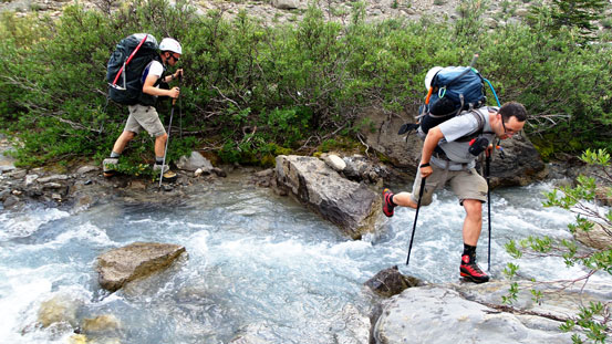
Jumping across a stream
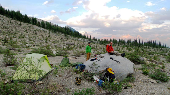
Our bivy site for this evening!
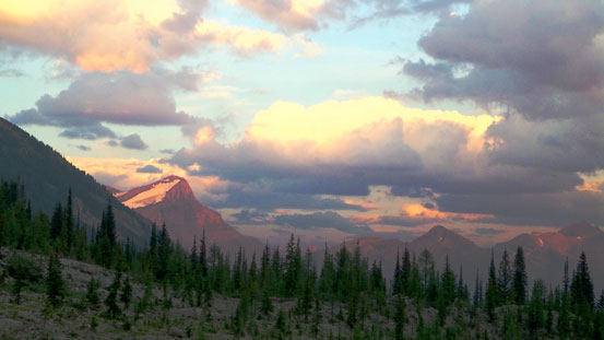
Evening glow on Mt. Joffre
The sexy looking Mt. Prince Albert
There’s no way we’d just hike out on Sunday since weather was supposed to be good. We’d use this extra day to explore the glacier and the hanging valley on the east side of Mt. King George. And of course, making an ascent of Mt. Prince George to justify the extra effort.
