Grande Mountain
April 1, 2014
1988m
Grande Cache, AB
Due to various reasons all of my potential partners couldn’t manage a trip last weekend so I figured it’s probably better to stay home and get the homework finished since weather was supposed to be awful for all areas. I managed to get the assignments done one day ahead of schedule. The newest weather forecast predicted a brief window on Tuesday. It’s been probably a month since last time when all forecasts agreed with ‘golden’ sky, so I figured it’s probably worth to skip a couple lectures for a sunny day in the hills. Due to the last minute decision I didn’t leave Edmonton until 9 pm on Monday evening. By the time I got to Hinton I was very tired so car-bivyed there. I set the alarm at 5:40 am and woke up in frigid temperature. As I drove northwards on Highway 40 the temperature had dropped to -25 degrees…
Grande Cache isn’t a particularly exciting area but every once in a while I’ll bag a peak or two there. There’re some nice-looking peaks buried deeply in Willmore Wilderness and they all require at least a day to just approach. Most of the day-trip objectives are ‘glorified hills’ with difficulty ranging from hiking to off-trail hiking/easy scrambling. Grande Mountain isn’t an exception. There’re numerous routes up this peak. I took the SW ridge which is the only one described in the visitor brochure that I got last year. It’s also the most scenic route.
Grande Mountain ascent route. GPX DL
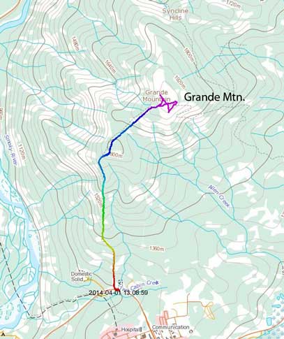
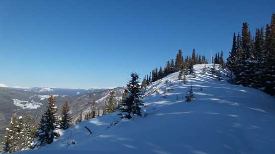
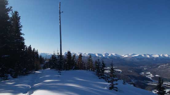
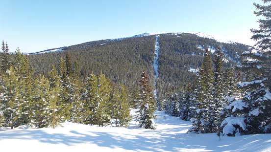
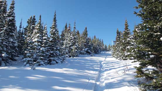
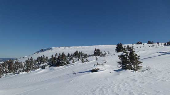
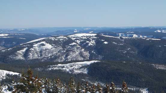
It wasn’t easy to locate the trail-head and even if I found it I couldn’t drive to the “proper” parking lot (as per the brochure) since the side roads were not free of snow/ice. I just parked on the highway shoulder. After walking back-and-forth a bit I eventually found the trail-head sign. Apparently snowmobiles had gone up it but due to the recent dump I still had to break trail, just not as bad as I was expecting. There’s little to say about the ascent itself since the trail essentially follows a cut block/power line all the way up and it was very wide. By constantly looking back I could always see the snowy mountains which was good. Directly behind was Lightning Ridge that I ascended last winter.
Already great view after 10 min into the trip.
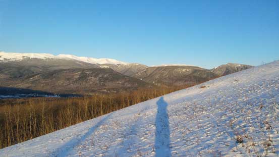
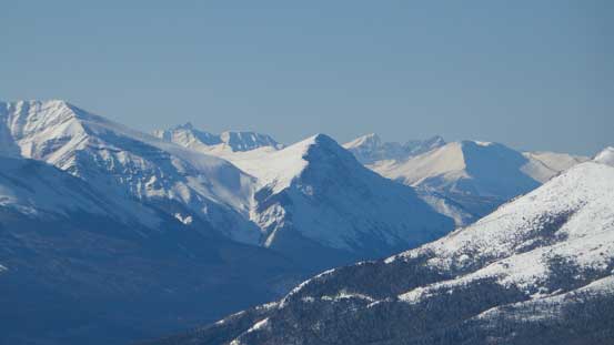
Morning light shone on Mount Mawdsley
Hayden Ridge

Snowshoeing up the cut block
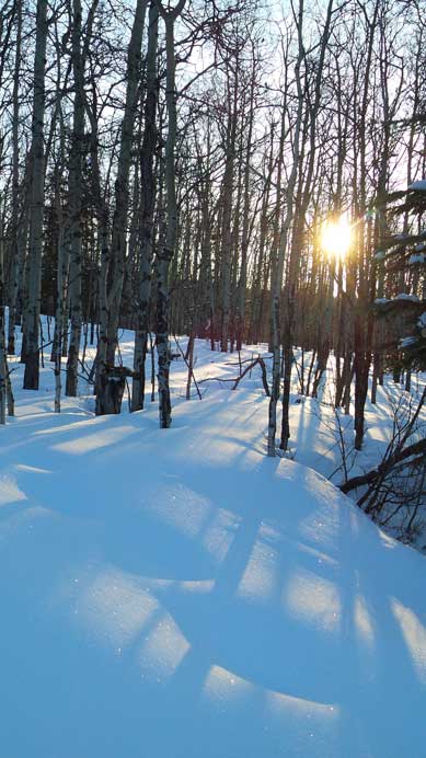
Sunbeam through the woods

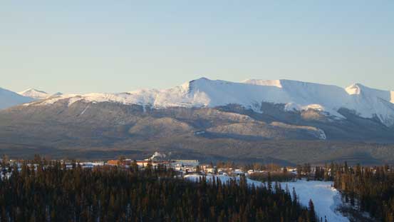
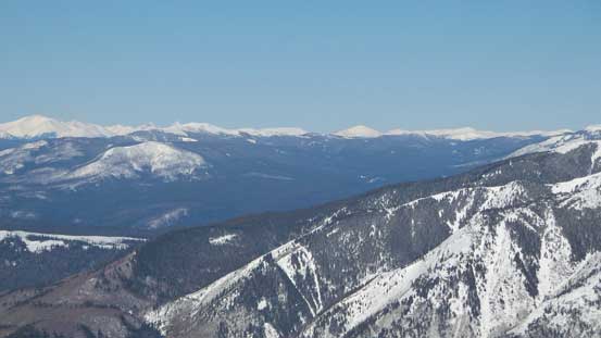
Looking back at Grande Cache
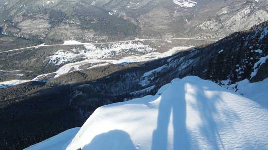
Looking down a steep drop off. Highway 40 below
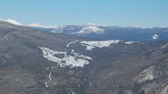
The meandering Beaverdam Road brings one up high, but doesn’t look drivable in winter…
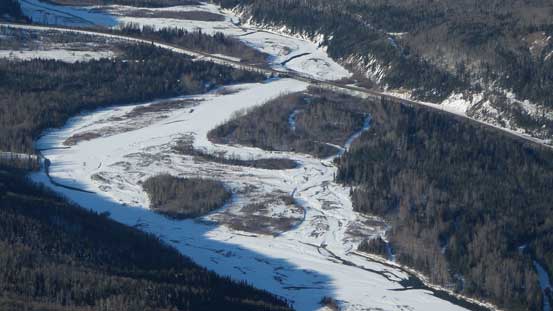
Smoky River looks quite fordable in winter.
There’s one false summit to go up and over. Down the other side there’s about 100 m elevation loss before gaining steeply up the true summit. The direct cut block up the true summit was a steep grind. There’s a breakable crust and post-holing started to get bad towards the end and my progress was slow. But there’s overall not that much elevation to gain so quickly I found myself staring at the final summit plateau. I firstly went climber’s left to get a better photo of the distant Mount Ida, a giant in Kakwa provincial park and the northernmost 10,000er in the Canadian Rockies. Since I had lots of extra time to kill I wondered around for quite a bit before descending. The new snow surely made everything prettier.
Approaching the false summit.
Looking back
Looking towards the steep grind up the true summit
Losing elevation down to the col.

Looking back towards Lightning Ridge
Near the summit, looking up
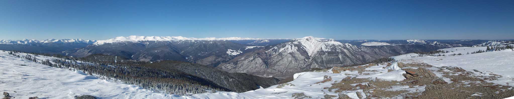
Summit Panorama looking West & North. Click to view large size.
Summit Panorama looking South. Click to view large size.

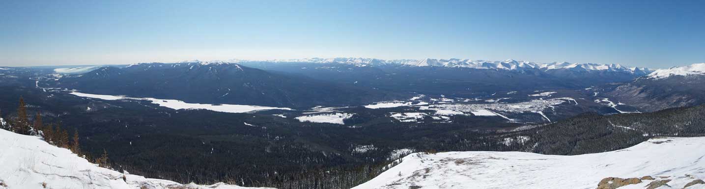
Summit Panorama looking towards the foothills & prairie. Click to view large size.

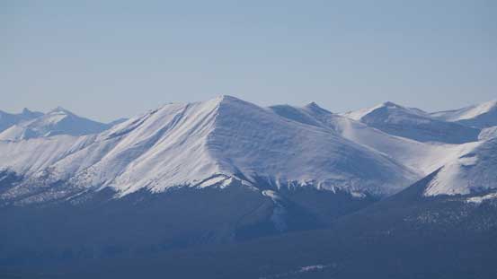
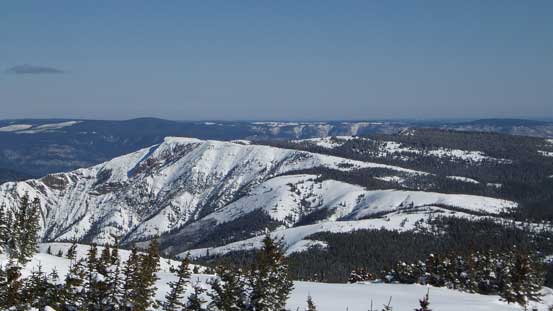
The full stretch of Lightning Ridge
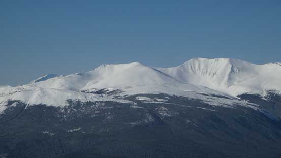
A closer look at Lightning Ridge

Mt. Hamell is another one I did last year
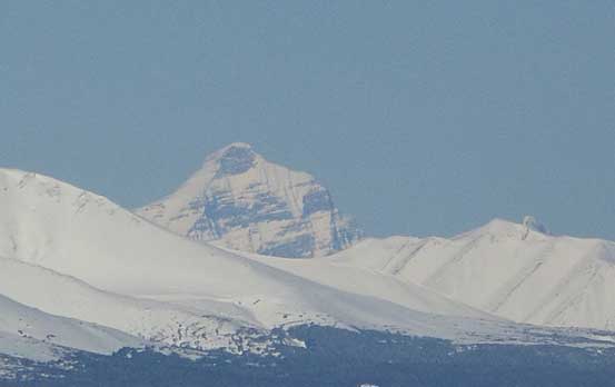
Mount Ida is the northernmost 10,000er in the Rockies
Mt. Russell is another objective in this area

Smoke in the distance
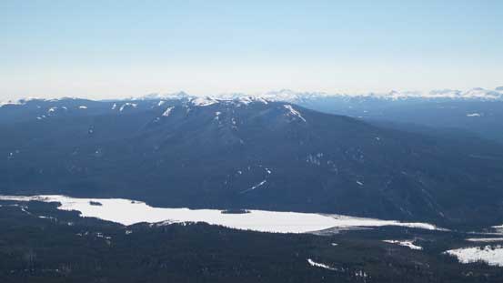
Mount Louie (a treed bump) rises behind Victor Lake and Grande Cache Lake
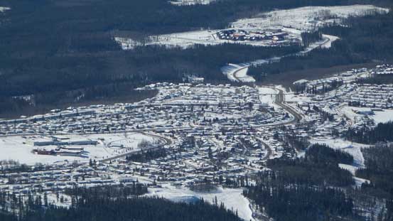
The town of Grande Cache

Mt. Mawdsley, Mt. McQueen and so on.
Cool looking unnamed peaks
Zooming in looking northwest. These peaks are rarely visited
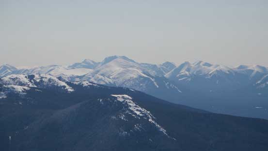
A bigger peak in Willmore, looking south
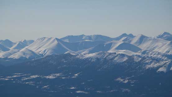
More peaks in Willmore. Don’t know their names. Mostly unnamed anyway

The summit plateau
Flood Mountain
Goat Cliffs
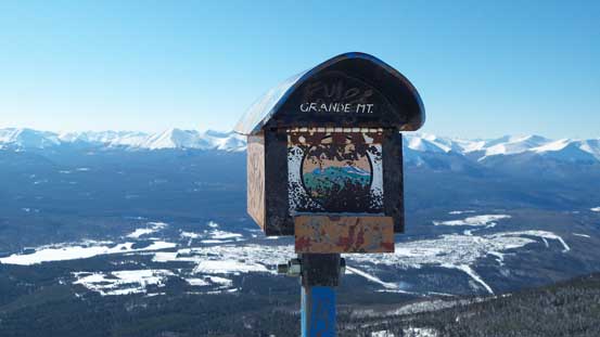
The summit mailbox. I didn’t buy the Passport to the Peaks guidebook (which is $60).
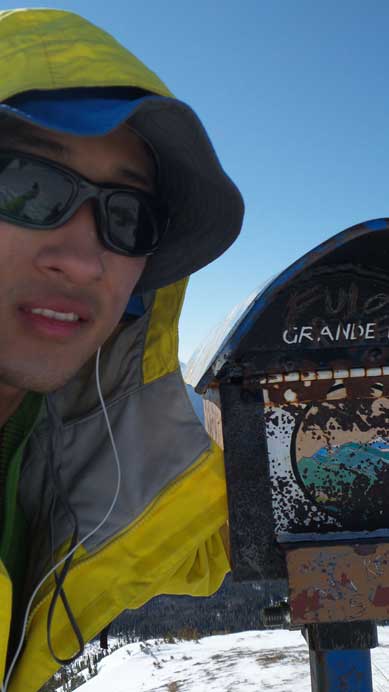
Me on the summit.
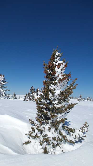
One of the many small trees on the plateau
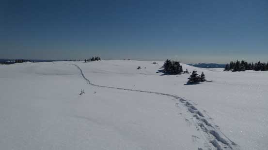
My tracks

Time to go down..
Due to the crust it wasn’t as fun coming down as expected, but still fast. By now the cold air had dissipated and temperature boosted up pretty quickly. The temperature at trail-head was above zero and it felt even hotter. I had to turn on the cold air conditioner on the drive back. My round trip time was 5 hours. Overall it’s kinda a bit too short as a day-trip objective but the views were better than I thought. If you are keen to do more post-hole suffering then you can continue the ridge towards Goat Cliffs and/or Flood Mountain. That’ll be an exhausting day but doable.

Looks like a good workout and some great views! Nice!
Beautiful thanks for sharing
very well done post have i have done stearn. lightning ridge , ambler and hayden ridge,
plannng on silvertip and maybe g3 this year have you done either of those ?
Stearn, Lightning Ridge, Grande, Hamell and Louie is all I’ve done near Grande Cache. Also done Moberly Lookout and Daybreak Peak near Rock Lake trail-head, a little towards the south. I wish I had paid more visits that way when I lived in Edmonton.