Mount Severide
October 12, 2022
2571m
Cherryville, BC
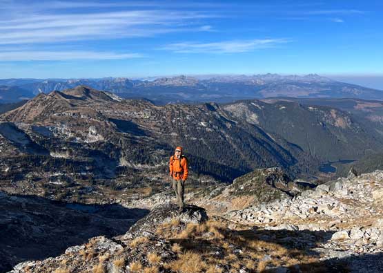
Mt. Severide is the second highest peak in the area known as The Pinnacles in the southern Monashees. The official height according to BC Basemap is only 2 m lower than the North Pinnacle so who knows, it might actually be taller if a more precise survey comes out in the future. This peak seems to be decently popular among the locals judging by the summit register entries but on the internet there wasn’t much information. I only knew there’s a class 3 route that goes up from the SE side and this route can be combined with the standard route of North Pinnacle to make a full-day outing. Elise and I had the same idea. Earlier in this day Elise, Corbin, Nick and I had scrambled North Pinnacle but Corbin and Nick opted out for the twofer. The decision was then made for them to descend to the truck to wait for us.

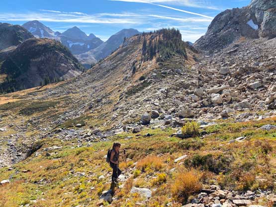
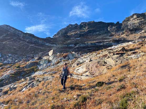
Instead of dropping down to the shore of Monashee Lake we opted for a long side-hill traverse across the west slopes of a subsidiary bump west of “Sunny Peak” and this traverse involved fair amount of grass slopes and boulder fields. For most parties it might actually be quicker to descend and re-ascend but Elise and I were pretty efficient on this side-hilling thing on steep grass. This whole stretch lasted for almost a kilometer and was quite unpleasant. I was glad that we did not have to repeat this section on the descent as we could just shoot straight down from the col.


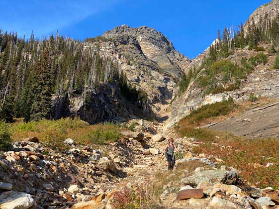
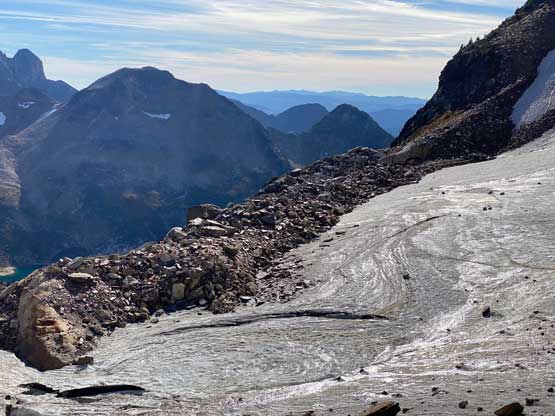
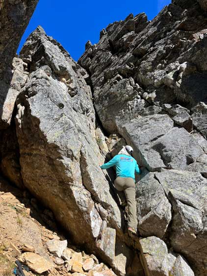
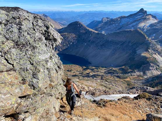
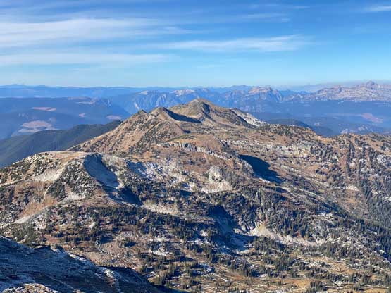
From the col we traversed further towards NE until we were under the broad SE bowl of Mt. Severide. From here we mostly just picked our own route taking whatever line that seemed to offer the least amount of resistance. We crossed a stream of running water that drained from a tiny glacier (invisible from below) up high. After the water crossing we scrambled straight up some steep grassy slopes which eventually transitioned to boulder fields under that tiny glacier. We had to cross this glacier to get onto the actual SE Face of Mt. Severide where the actual fun began.
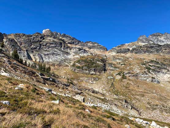


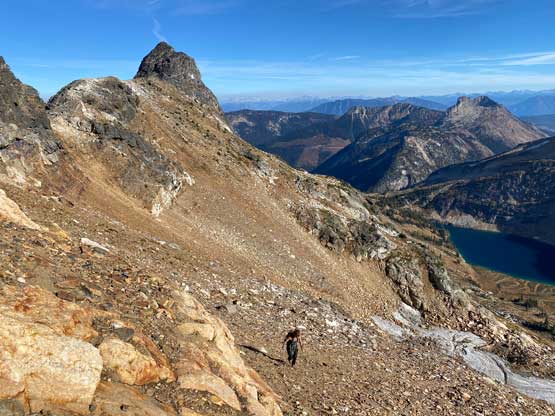
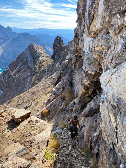
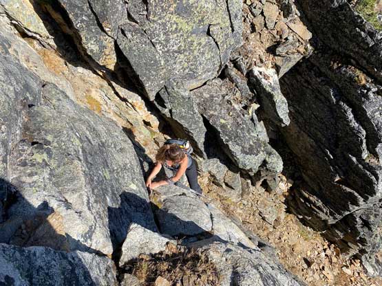
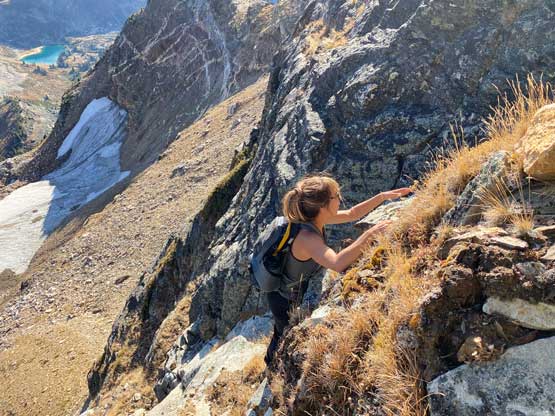
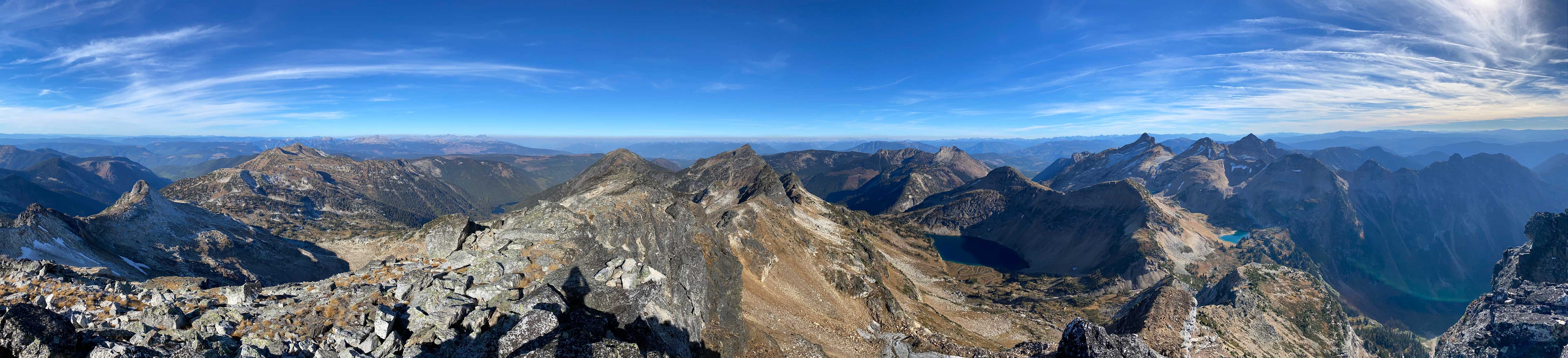
The standard route apparently ascends into a chossy notch to get onto the NE Ridge but I did not do enough research to fully understand that part. Getting into the notch appeared straightforward from where we were, but to ascend out of the notch onto the ridge looked to be difficult. Instead, I spotted some potential lines on the SE Face so we made a spontaneous decision to traverse there. The scrambling turned out much more difficult than anticipated. The first route we tried involved a 5th class chimney that I spent at least 10 minutes trying to figure out a solution. I eventually down-climbed without making the hardest moves as I wasn’t sure if I wanted to fully commit to the down-climb if there wasn’t a better way to descend. The secondary solution involved a lot of traversing on 4th class ledges, sometimes chossy and sometimes grassy, but we eventually made it work. This route that we took did not feel to have seen traffics. Once joining the NE Ridge we found paths and cairns. There were still sections with class 3 scrambling and route-finding and the ridge was also longer than expected. From the summit we could see potentially simpler routes on the north side, but that wouldn’t make sense to combine with North Pinnacle in one trip.


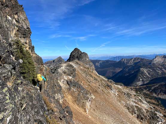
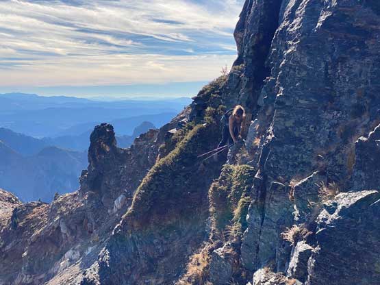

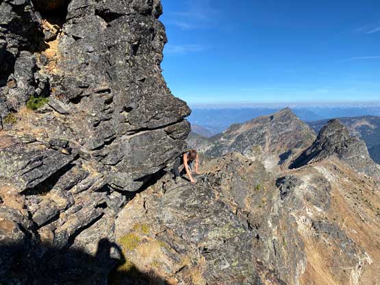


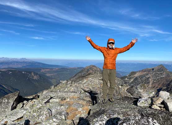

The summit was again, cold and windy so we quickly made our way back across the NE Ridge. Instead of down-climbing our exploratory route we opted to follow the ridge much further down towards that notch. There were more cairns and defined paths and the descent turned out to be no harder than class 3. In the end we did a much harder route, but we were both glad to have done that as that variation made us feel more accomplished. We then descended into the lower SE bowl and traversed back to the col separating Mt. Severide and ridges west of “Sunny Peak”.


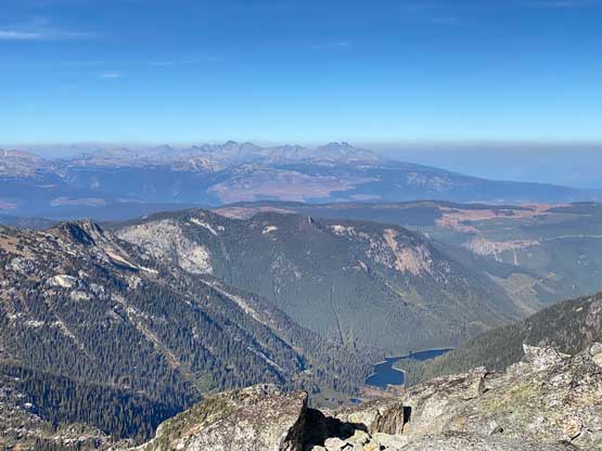
From the col we made a direct descent using grassy slopes to intersect the Monashee Lake trail. Once joining the trail I swapped footwear back to trail runners and we jogged and power-walked back to the truck. The plod back across the valley took longer than expected and started to feel like a drag. We actually got back to the truck not much later than Nick and Corbin as they got lost multiple times. Not having a GPS could make this hike-out tricky as there were numerous not-so-obvious sections. Elise then drove us back into Vernon to have dinner in a local restaurant. After saying goodbye to Nick and Corbin we drove back to Elise’s parent’s home and I slept another night there. I woke up at 6:45 am the next morning and drove 5.5 hours back home on my own. I needed to get home as early as possible to show up for the afternoon work. Needless to say this was another exhausting but satisfying mission.