Burnaby Mountain
December 22, 2019
370m
Metro Vancouver, BC
Burnaby Mountain is the highest of the three officially-named summits within the boundary of Metro Vancouver that also boasts over 1000 feet of topographic prominence. From the statistical perspective it does boast some degree of significance in peak-bagging but the summit “plateau” has been entirely destroyed by the construction of Simon Fraser University. The highest point is where a water tower (still under construction) locates and offers no view because of the high density of buildings. I’m very sure that I had visited the SFU campus in my high school days but I doubt if I had actually made to the highest point. I was in no rush in bagging this local summit for various reasons.
It turned out that I finally made the trigger on Sunday of the winter solstice of 2019. The avalanche conditions were horrible and I was tired from the long work week with very little motivation, but the weather was too gorgeous to not get out. I made the very last minute spontaneous decision at 11 am to take Kat out for this short hike. We had a leisure breakfast in White Rock before driving north to Burnaby. There are many ways to reach the summit of Burnaby Mtn. with the easiest being a “almost drive-up”. My theory of peak-bagging is to always pick the easiest/most robust way in reaching a designated summit, but this one turned out to be one of those exceptions. I figured that we both wanted to have some exercise, so parked at one of the trail-heads on the east side of the peak. The parking lot was at around 100 m elevation meaning that we had over 250 m elevation left to gain.
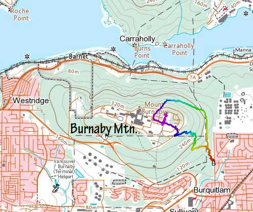
Burnaby Mountain hiking route. GPX DL
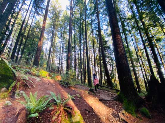
The trail that we picked at the start was the forested “North Road” which intersected the “Powerline” trail briefly. We crossed the power line into the forest again picking up one of the few mountain biking trails on the south-east flanks of the peak. The hiking was easy and the trails were well marked, and the biggest hazard was dodging the bikers coming down. The visibility was very limited in the woods meaning that we had to pay close attention to what we could hear. Not long after we started the hike we came out of the woods onto the road that circles around the university campus. I then used GPS to direct us to the highest point, while walking on the roads.
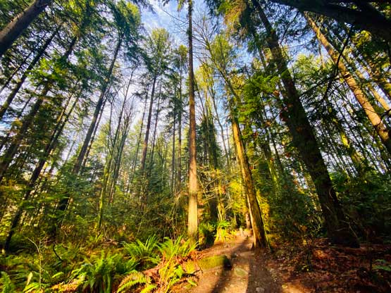
We started the hike by picking a wooded trail
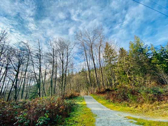
We soon merged onto a bigger trail
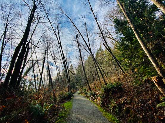
Heading up the hillside on the typical terrain
We were now hiking up a downhill biking trail…

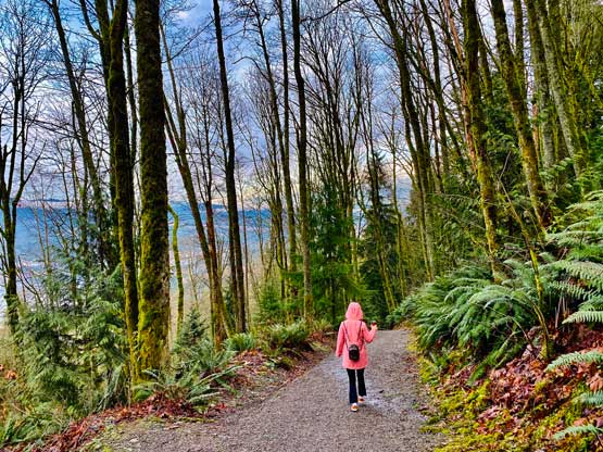
Kat hiking up Burnaby Mtn. in the forest

Kid bikers riding down furiously..
We suddenly popped out inside SFU Campus

There’s even an elementary school inside the university
More about the elementary school while hiking towards the highest point
The late afternoon sun behind one of the many SFU buildings
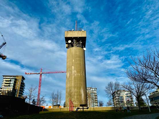
This tower sits on the highest point on Burnaby Mountain

Me on the summit of Burnaby Mountain

Kat wonders around that big tower
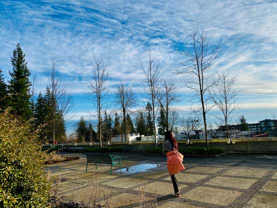
Kat exploring the summit area. Not much to see, literally…

We were ready to head down now.
I soon realized that we weren’t doing very good on time and we carried absolutely nothing. While descending we opted to take a break in the Tim Horton’s for some coffee and then picked a different trail coming down. This trail traverses around the north and north-east side of the peak and offers some limited views of the Burrard Inlet to the north. We finished the hike about 20 minutes before sunset, so didn’t need to use our phones for illumination.. This peak exceeded my expectation overall and is certainly “better” than a lot of the dumpster dives I’ve done.
Picking a different trail that traverses the north side forest
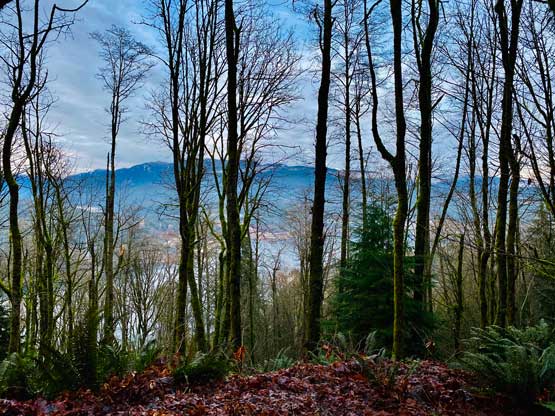
We got some limited views into Burrard Inlet and North Shore Mountains

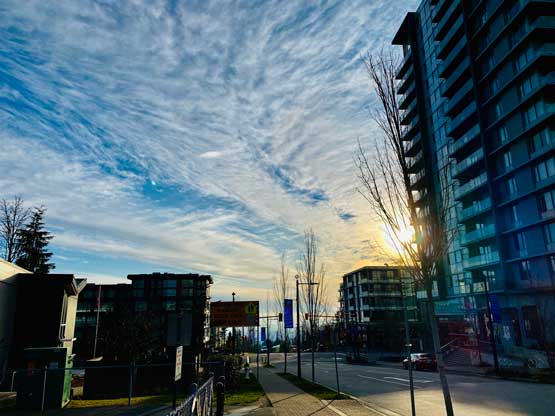
Sunset colours in Burnaby while driving back home
