Irvine Peak
August 30, 2019
1707m
Plains / Flathead Lake, MT
The unofficially named “Irvine Peak” refers to the highest summit of the ridge extending southwards from Irvine Hill, within the boundary of an Indian reserve of northwest Montana. The closest “town” is probably Plains about 50 km to the south-west and this is literally in the middle of nowhere. “Irvine Peak” is not a tall summit by any mean, but is rather isolated and boasts over 2000 feet of topographic prominence. There are some peak-baggers chasing as many P2Ks as possible and that’s probably how “Irvine Peak” gains attention in the peak-bagging community. A permit is required for recreational use in Indian reserves although there’s no evidence that it’s actually enforced. The crux of this peak is the drive. One can drive to within 20 min of walking to the summit, but getting that far up requires a 4×4 vehicle.
Irvine Peak drive-up via North Ridge. GPX DL
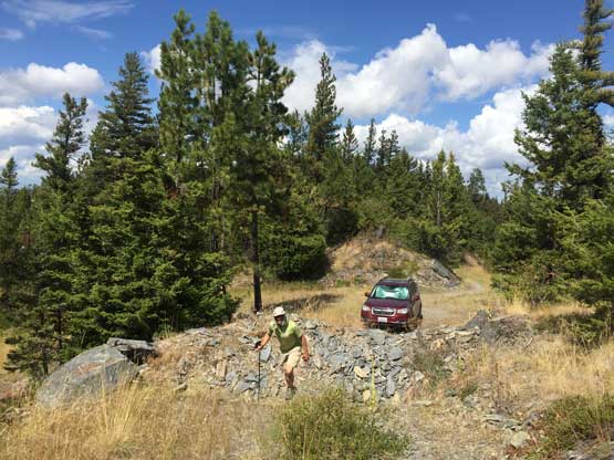
This was the second objective of the “phase 4” of 2019 peak-bagging road trip between Adam and myself. Earlier in the day we had driven up Blacktail Mountain about an hour north of where we were now. Irvine Peak wouldn’t be a drive-up, but close enough. Our friend Connor had a brief trip report on peakbagger.com and we were prepared for some bad roads. The spur road that goes up the spine of the ridge south of Irvine Hill was narrow, rough and overgrown, but without deep ditches. We encountered two gates that could be manually opened. I was a little concerned about the legality of this ascent but Adam was much more experienced in dealing with the gates. We simply opened them and let the vehicle to go through, and made to the uppermost parking-lot without much of an issue, although the driving was very slow for at least 10 km of distance (each way). A huge wash-out blocked the further access but at that point, we were only 15-20 min away from the summit.
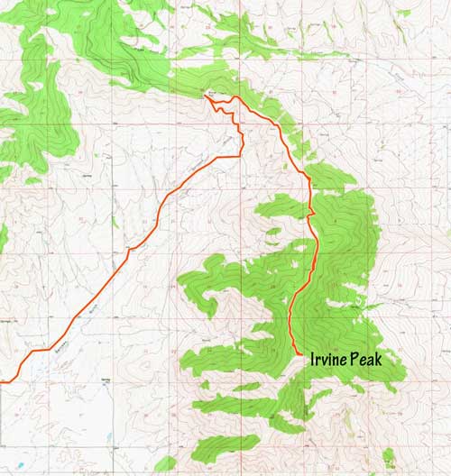
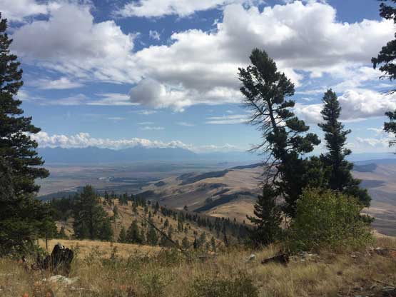
Irvine Peak is the highest summit of that long ridge.
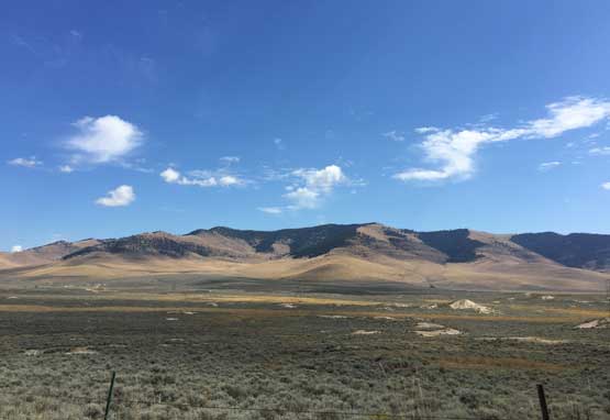
The typical condition of the spur road of the last 10+ km distance
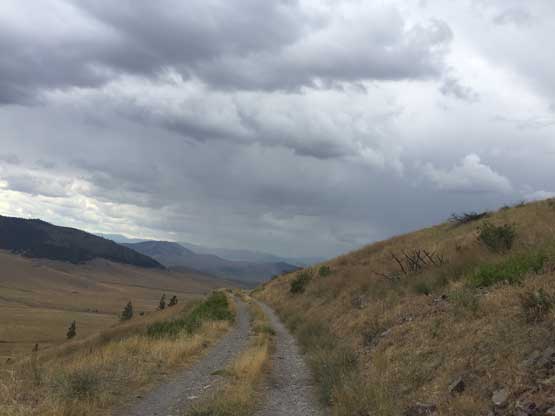
Looking back westward from high up on that spur road.
It was about 1:30 pm already and we hadn’t eaten anything yet, so we spent some time preparing for a late lunch. A storm appeared to build up to the south-west and might move towards us, so we quickly finished our respective food and started the hike. We walked about 5 minutes up the road and then bailed into the grass/woods aiming straight for the summit. Adam warned me that in the middle of summer on dry terrain like this we had be careful with rattlesnakes. I hadn’t thought about that. The summit had two highpoints that we checked out both just to be sure. The view from this “peak” turned out to be considerably better than Blacktail Mtn. a couple hours earlier in the day.
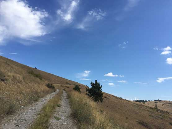
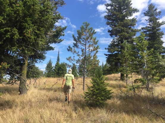
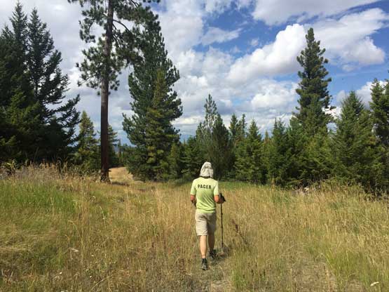
Starting hiking from the highest we could drive to.
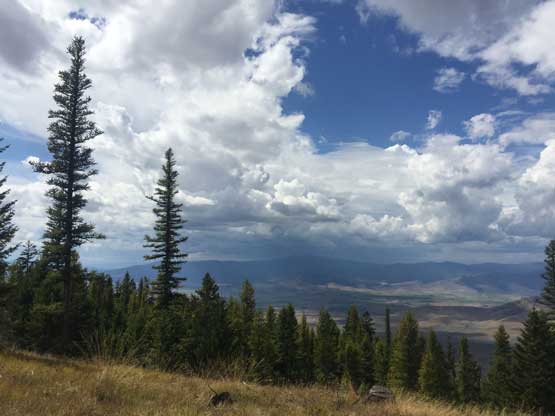
A thunderstorm was developing to the south-west moving our way
Adam approaching from the dull summit of Irvine Peak
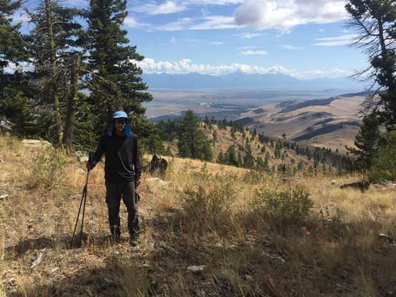
Me on the summit of Irvine Peak
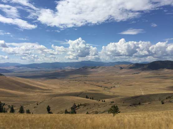
This is a southward view to illustrate the typical terrain here
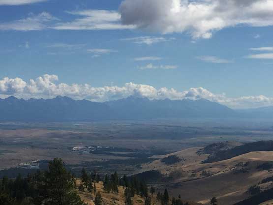
A closer look at McDonald Peak in the Missions – the most prominent in Montana
Given the approaching storm we lingered no time on the summit but rather rushing back to the vehicle. We started the drive down immediately because the dirt roads could be “interesting” in pouring rain. The rain caught us up on the lower gravel access road but at that point we were already off the technical driving sections.
Due to the storm we went down pretty quickly
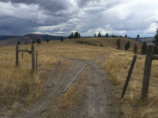
The second of the two gates that we encountered on the drive. They can be opened
The storm hit us on the drive-out.
The original plan was to drive back to Kalispell for some Mongolian Grill but we didn’t realize we were already far to the south of Kalispell, that going back would add 2 extra hours to the drive. Our final destination was Bonners Ferry in northern Idaho on this day. Given where we were Adam suggested we should aim to do Deemer Peak. I was skeptical because the south-west was soaked right in the middle of a thunderstorm, but reluctantly agreed. Adam had a good point that thunderstorms generally don’t last long so by the time we got there it might already cleared, and he was right.
