Clifty Benchmark
December 29, 2021
998m
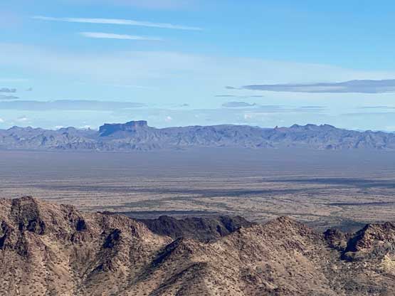
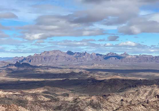
Castle Dome Mountains, AZ
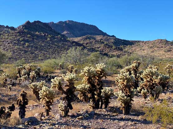
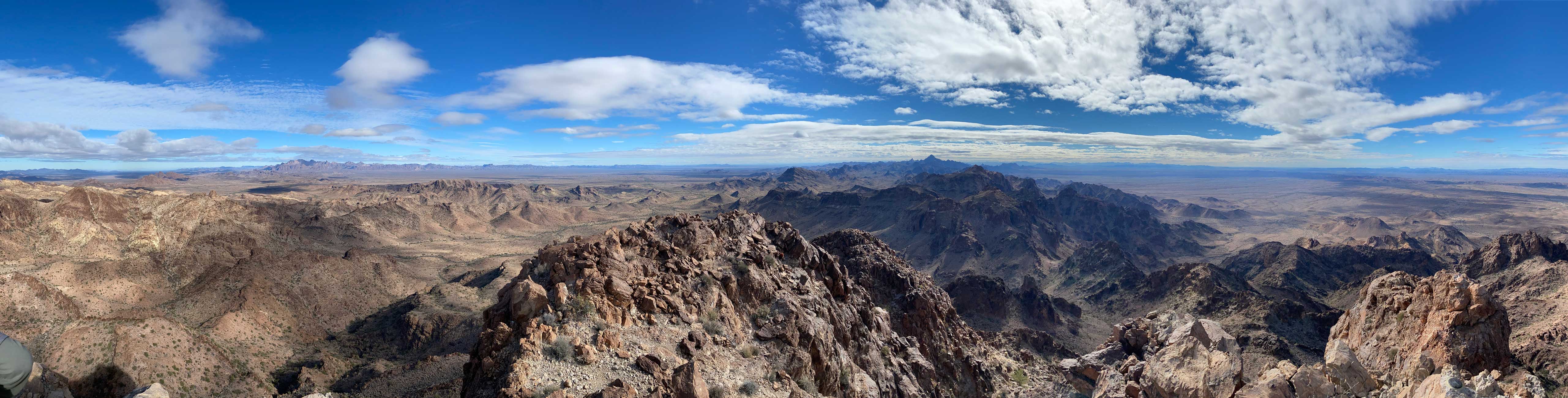
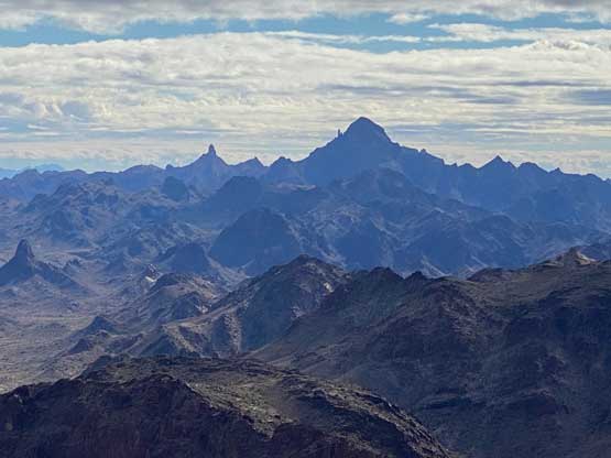
“Clifty Benchmark” is a rugged summit in the northern Castle Dome Mountains about halfway between Quartzsite and Yuma and boasts over 300 m prominence. This peak itself is unnamed, but the summit had been surveyed by USGS and the benchmark has a name. In this case the name of the peak goes with the benchmark. There are two ways to approach. Stav Basis had put up an exploratory route from the NW with more scrambling and more up-and-downs over several sub-summits. Adam, Matthias and I did not like that route partly because we only needed the main summit. We opted to take Richard Carey’s words approaching from Virgin Basin to the east, which involved significantly more driving on dirt roads and more hiking on desert floors, but simpler route-finding in the bigger picture.
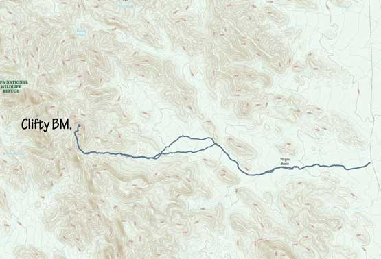
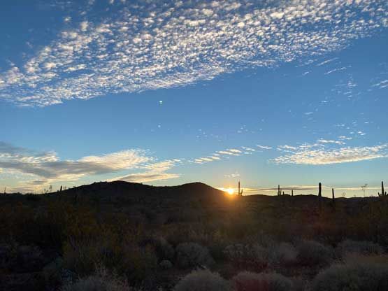
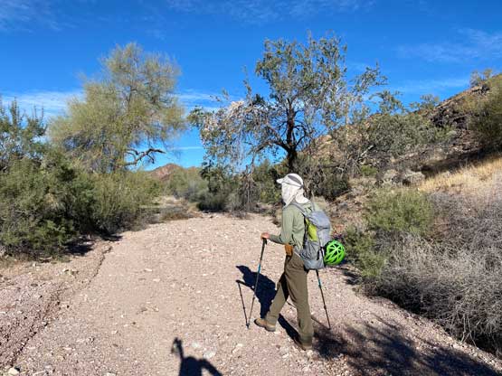
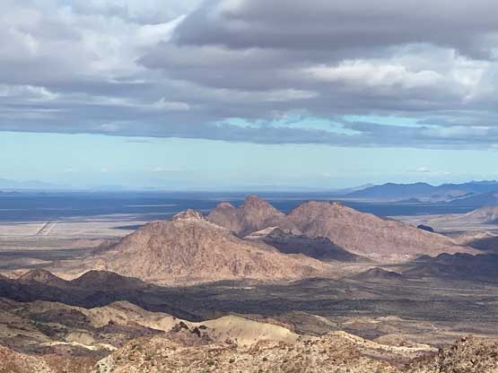
In the previous day’s evening we drove a ways up King Road and found a not-so-great spot to set up camp. It was getting late and we were already tired so we didn’t spend too much time to find a better spot. In the morning we woke up just before sunrise and resumed the eastwards driving down King Road. The Gaia map had all the dirt roads correctly labelled so we had no problem finding the correct turn-off near some sorts of a campsite. The 10-km ish road going south along the boundary of Kofa Wilderness was in a much worse shape than the main King Road, but was still manageable in Adam’s Subaru with slow and careful driving. Since this road was doable in the Subaru we opted to drive both vehicles in for some extra safety margin. About half an hour down we reached a deactivated spur heading into Virgin Basin. We could have driven this spur into the wilderness despite the various signs of “no motorized uses” but opted not. It’s not because of the ethical issues, but rather because of the marginal gain from this risky behaviour. The road shown on the Gaia map only extends 1 km into the wilderness so we wouldn’t save much time overall.
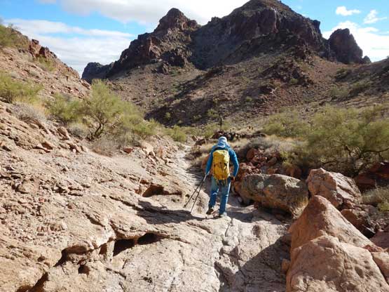
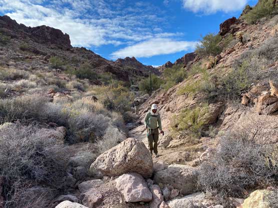
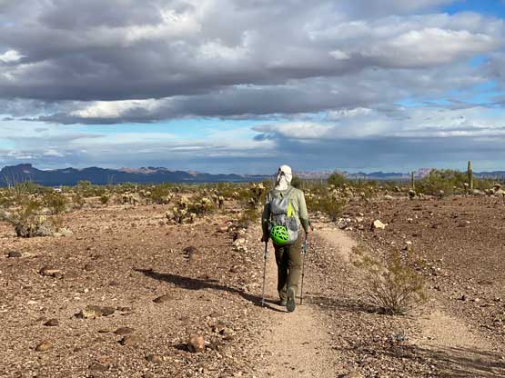
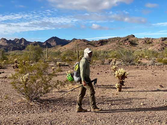
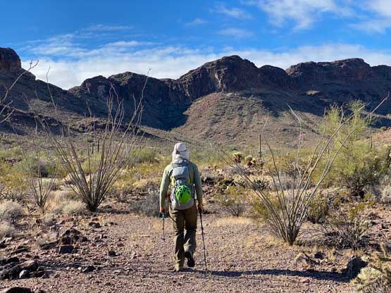
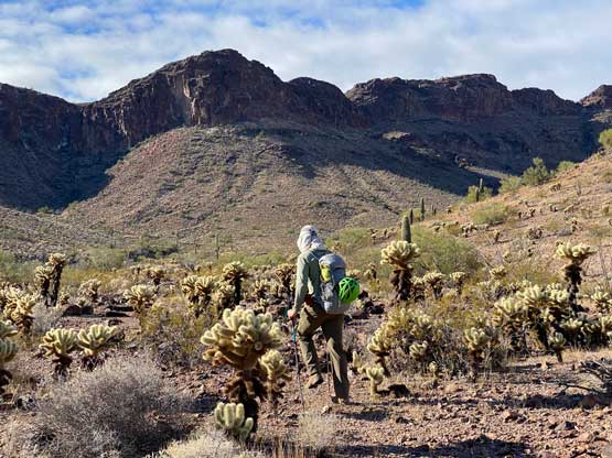
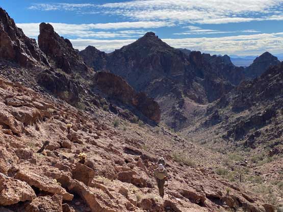
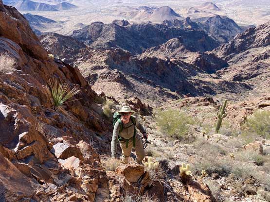
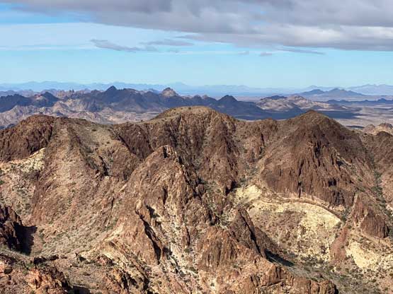
Indeed, after plodding somewhere 1-2 km into Virgin Basin we could no longer follow the road. We tried pretty hard to find and stick to the road but it started to become impractical. At one point we made the decision to just shoot cross-country towards where we were supposed to go. There were lots of micro-terrain including washes and bushy stretches that needed to be avoided and the going was nowhere as smooth as we were hoping for, but at this point we were committed. For a long while we utilized the bottom of a wash to plod ahead but it eventually became too bushy to continue, so we bailed out of the wash and headed SW towards another wash that would eventually bring us to the base of our objective. There were a lot of boulder-hopping and side-hilling to plod up the middle of this wash, for another few kilometers until the direction changed towards NW.
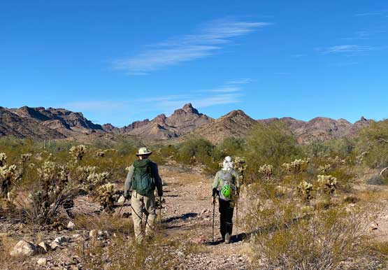
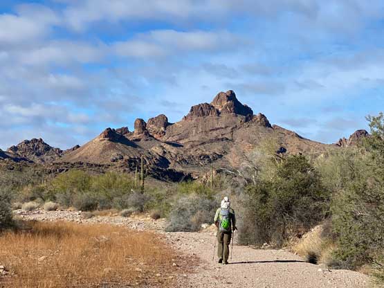
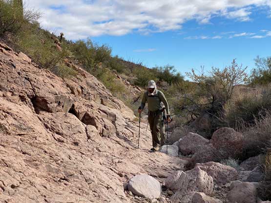
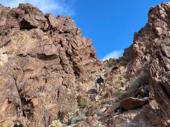
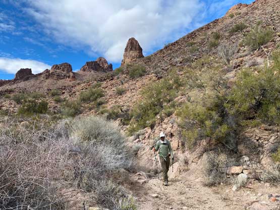
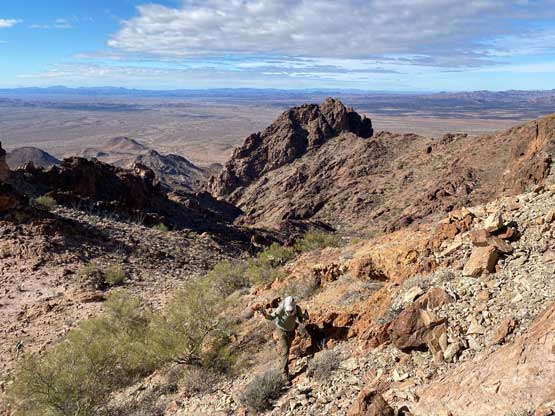
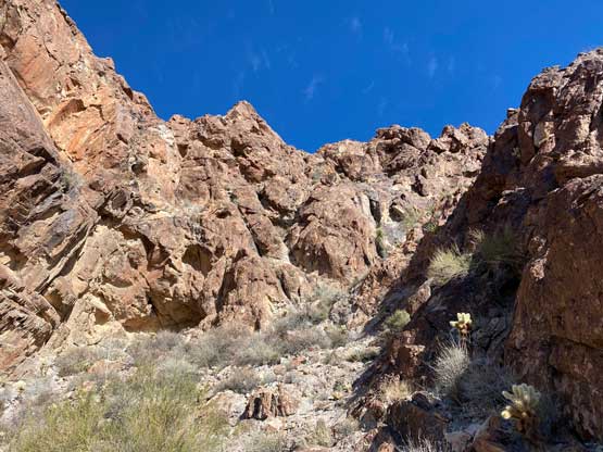
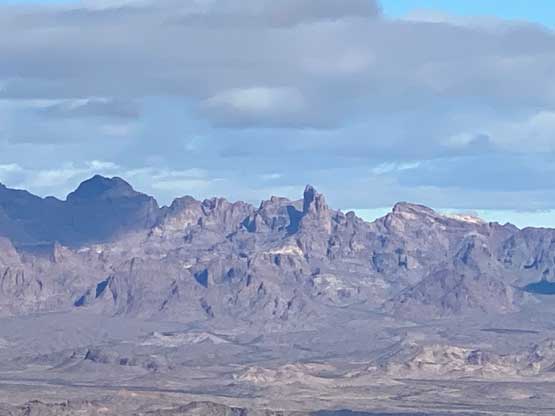
For the next few hundred meters’ elevation gain we would ascend this gentle “SE Gulch” towards a high col immediately under Clifty Benchmark’s SW Face. The terrain finally started to become interesting and fun after a few hours of boring slog into the trip. Nearing the high col we stayed climber’s right of the gulch on some very fun and sticky slabs.
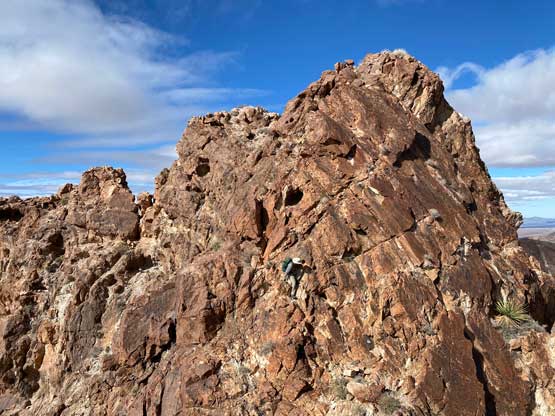
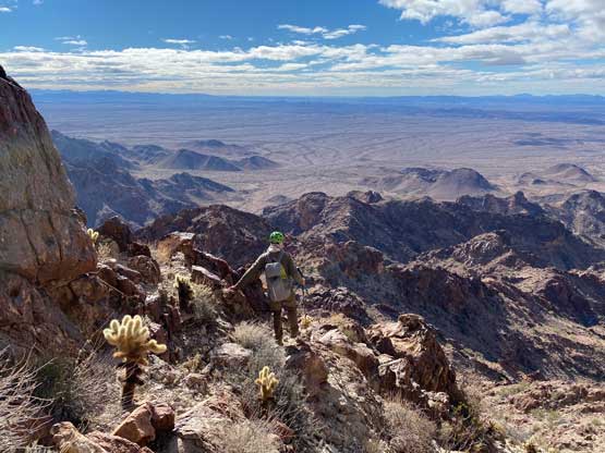
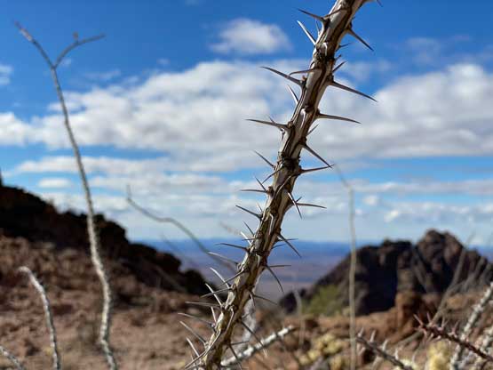
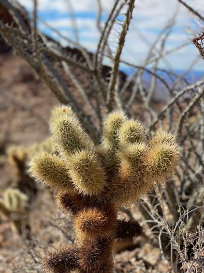
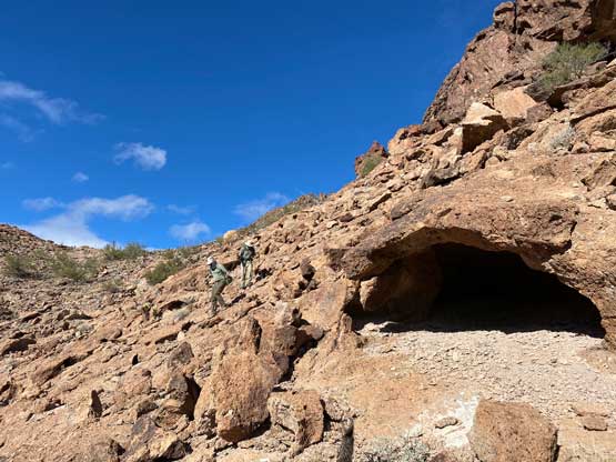
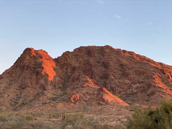
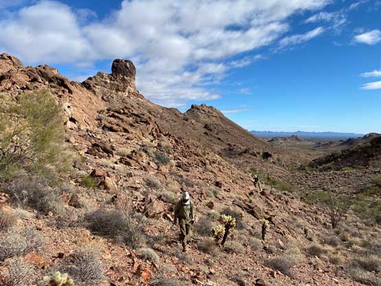
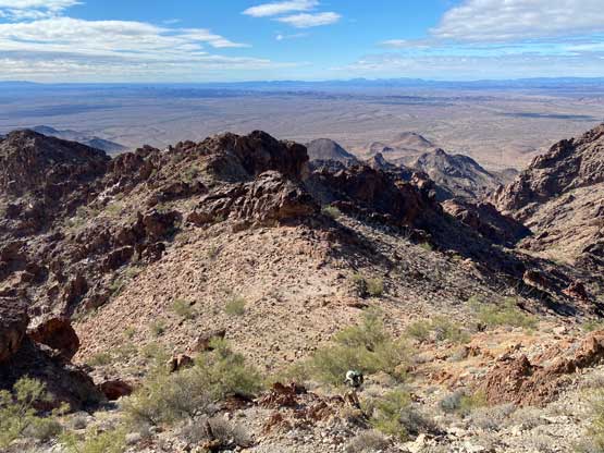
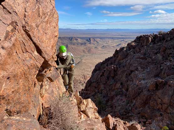
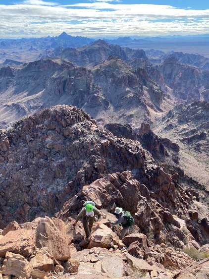
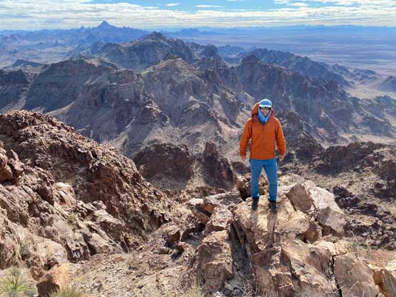
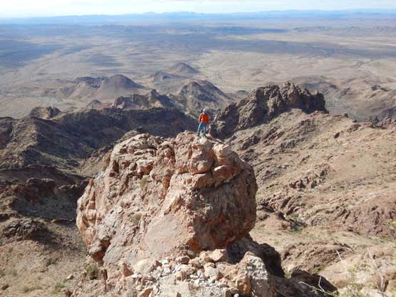
Not doing much lingering we immediately started the actual ascent. The bottom 2/3 of the SW Face was still on easy terrain but we did have to pay attention to the route-finding. We firstly trended climber’s right but about halfway up the face we used a ledge system to traverse climber’s left, eventually to another gully immediately under the shear cliff faces guarding the summit. Asides some agaves and chollas the scrambling was still mostly class 2 at this stage until the final notch before the summit. The ledge traverse/scramble on the summit block appeared daunting but turned out easier than appeared. The exposure was fairly major but the scrambling was no harder than class 3, that in short time we all made the summit. I even went down to explore a sub-summit that required some airy class 4 moves to get to. We again, debated whether this peak should stay on Adam’s secret “fun desert peaks” list. The scrambling portion was indeed great, but the approach was a bit too long and boring so the reward-to-effort ratio was quite low.
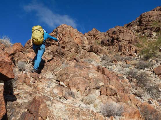
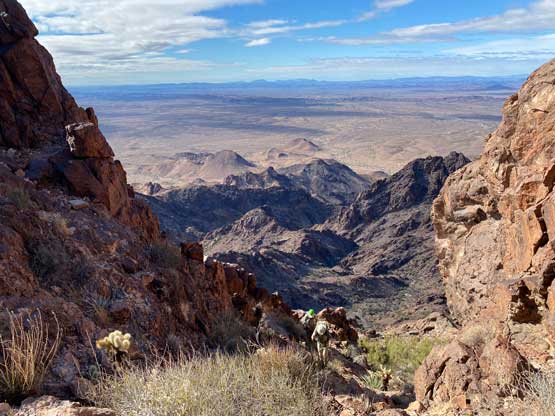
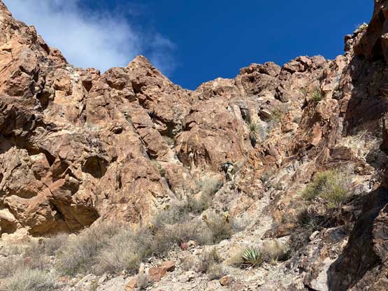
The down-climb of that class 3 ledge required great care due to exposure and not-so-great rock quality but I wouldn’t call it “difficult”. We then mostly just retraced our route down the SW Face and then back into that SE Gulch. In no time the fun parts were over and we were due another few hours’ of monotonous slog. Thankfully I had come prepared with earphones so I played music for most of the hike-out. One part worth noting was the middle section where we took a considerably better line on the egress than on the approach, in case someone decides to follow our GPS track. After the trip Adam and I said farewell to Matthias and drove north into the Kofa Mountains.