Saddleback Mountain
September 4, 2026
2921m
Idaho Springs, CO
Saddleback Mtn. is a minor but P100m summit in the foothills east of Idaho Springs and I noticed it solely because of the Peakbagger app. I simply refreshed the “nearby” on the app in the vicinity of Golden and this showed up as one of those bumps. I was looking for a spot to sleep in the vehicle without being detected so it had to be somewhere up on the mountains. I didn’t want this spot to be too far from Denver as I needed to be in the airport by mid-morning, but if I were already sleep in the mountains I might as well look for some sort of a trail-head. Consulting with the Gaia’s GPS app I thought the trail-head for Saddleback Mtn. could potentially work, so why not give it a try.
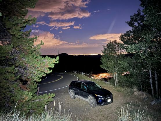
I simply followed the direction given by Google Map and ended up driving through some neighbourhood on dirt roads. The unpaved roads eventually gave way to paved roads so I somehow drove through a “short-cut”. Pulling in at the trail-head I saw no sign of “no camping” so fine, I would sleep in the vehicle right here. I’m sure the only reason that the locals hadn’t put up a “no camping” sign was because not many people would come here to do that. This is an obscured hike after all. But honestly I might come back here the next time for whatever reasons as it’s quiet and the elevation could work perfectly for acclimatization purposes as the first night away from the sea level. My original plan was to get up early to hit the summit the first thing in the morning but then I thought I would have enough time to get it done before dark in the evening. It was 7 pm and I had less than half an hour’s daytime left.
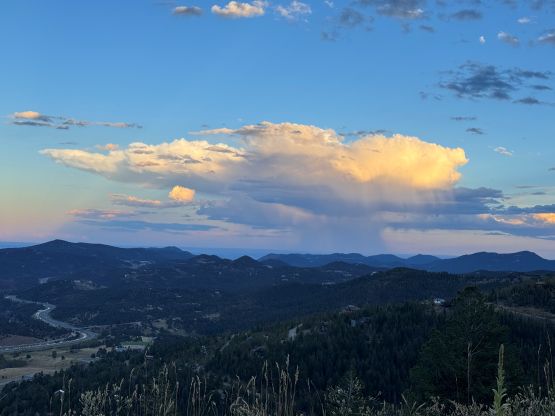
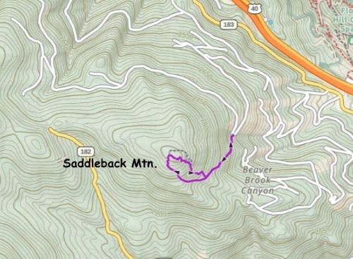
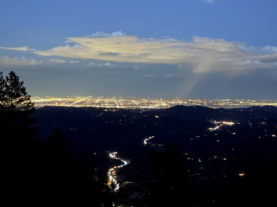
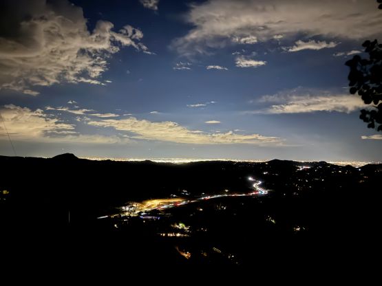
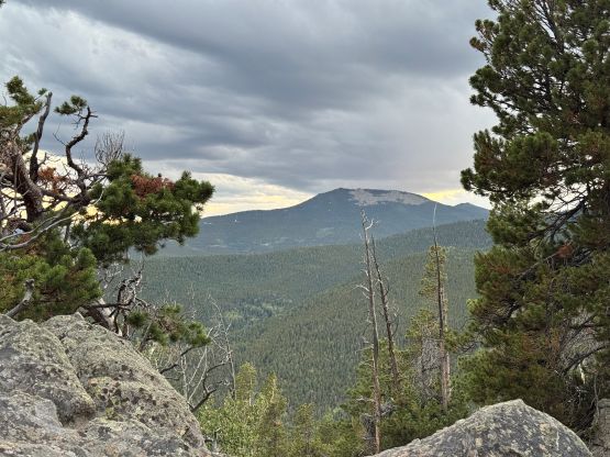
This hike was honestly longer than I thought with about 250 m elevation gain. I was quite tired after doing Mt. Harvard to Mt. Columbia traverse earlier in the day so I was dragging a bit. The trail was also decently steep, so I kept the pace civilized the entire way. About halfway up I finally felt like having warmed up enough so sped things up in order to catch some dusk scenery from the summit. There was however, minimal view from the summit looking west. This is a forested peak, after all. There was however, some nice views looking east towards Denver skyline, so I made the spontaneous decision to stay up there for at least an hour for some nighttime photography.
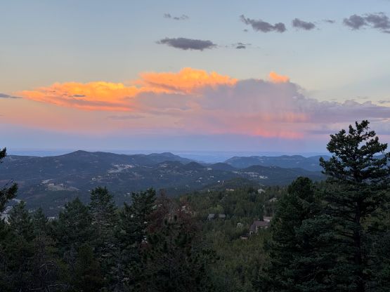
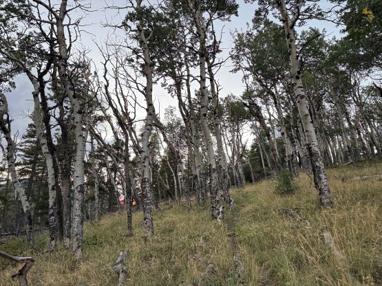
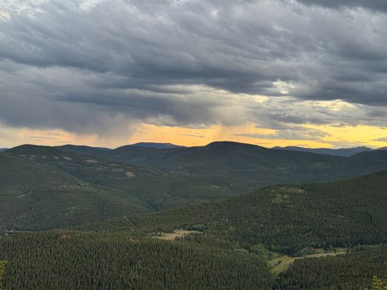
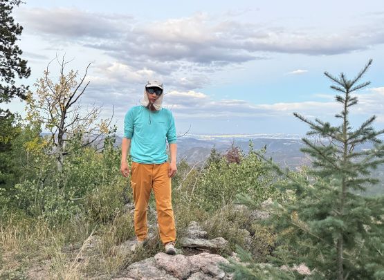
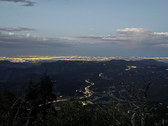
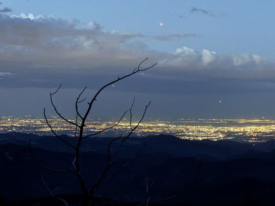
The idea worked out decently well as the photos definitely look better with the city lights. I was however, getting quite cold and I also needed to ensure I would have enough sleeping hours, so eventually opted to descend. I took a different trail on the way down which was shorter but steeper. As expected I was the only vehicle parked here for the entire night and nobody showed up in the morning despite this was a long weekend Saturday. I leisurely got up at 7 am, drove into the city of Denver and prepared to pick Clair up from the airport.