Vesper Peak and Sperry Peak
August 4, 2026
1898m
Mountain Loop Highway, WA
Vesper Peak and Sperry Peak are two popular scrambles often done together, but to traverse them one basically has to ascend up and over “Wolf Peak” but this 3rd objective does not have 100 m prominence nor an official name so I personally wouldn’t count it. However, the summit block of “Wolf Peak” actually offers the finest scramble of the entire trip. Vesper Peak also has a climbing route (Ragged Edge) that I was somehow interested in, but honestly I wasn’t very keen. In the end I thought these objectives could be done with time/energy/motivation was lacking.
Clair was about to leave for Boston in a few days but I had this particular midweek day reserved for doing some hiking. I couldn’t find a partner nor did I really try. I eventually decided to go for some solo scrambles and in this case I preferred to go to Washington. The smoke had blown in which further lowered the motivation so I opted to sleep in and make the final decision in the morning. I eventually dragged my tired self out since I had nothing else to do. The drive from UBC to the trail-head at Mountain Loop Highway took longer than I thought, that I didn’t manage to start hiking until 12:30 pm. The spur road to Sunrise Mine TH didn’t impose problem to the Subaru. The moment I opened the door I could smell the “campfire” and that probably explained why there were only several cars parked.
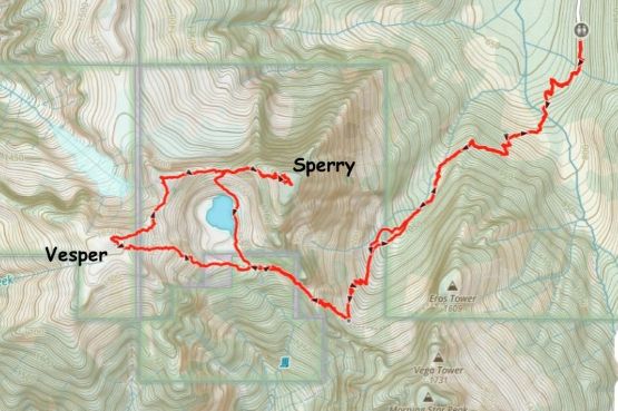
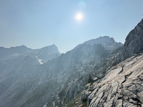
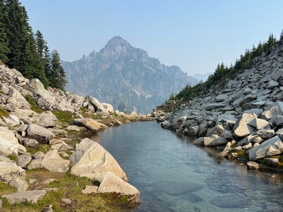
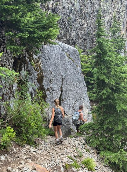
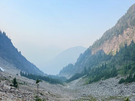
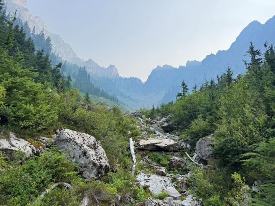
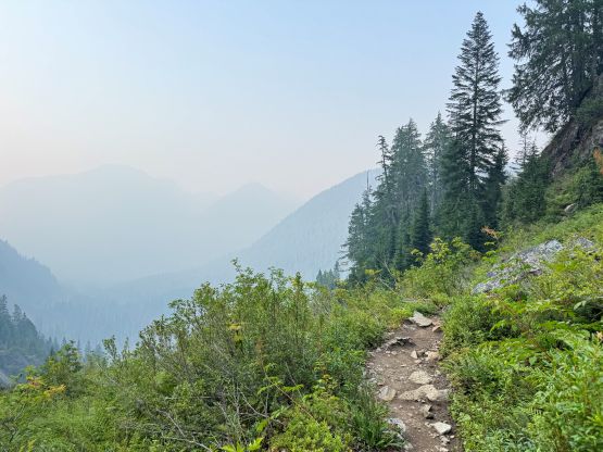
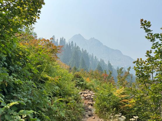
There wasn’t a lot worth noting about the approach. The heat and the smoke definitely slowed me down but I still managed a steady progress upwards into the approach valley. The trail eventually gave way to some boulder fields in which I lost the path briefly, but then I picked up the trail again after consulting with the GPX tracks a few times. While grunting up towards the point where the climber’s access trail to Vega Tower branches off I passed two hikers and then I made quick work to Headlee Pass. Further up I passed two more groups on their way down and that was it for the human sightings. I loaded up the water bottles at Lake Elan’s outflow and then plodded towards Vesper Peak first. There was likely an estalished route but I liked to find my own path in the maze of slabs. I probably did a few 3rd class moves but all of those were optional. The summit was then attained but honestly I didn’t do any lingering.
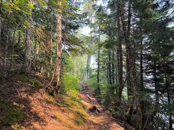
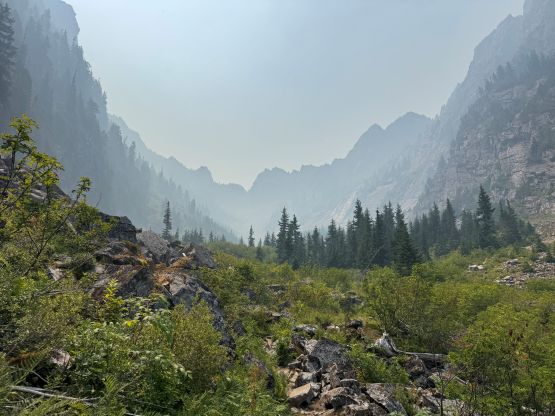
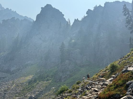
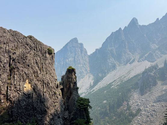
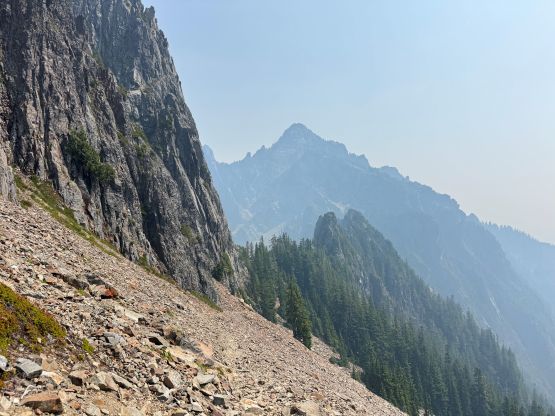
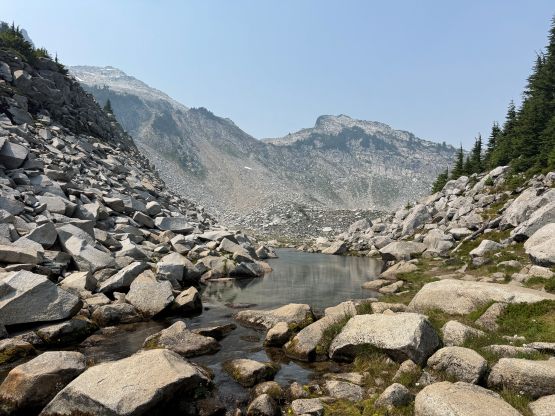
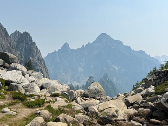
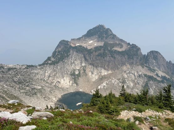
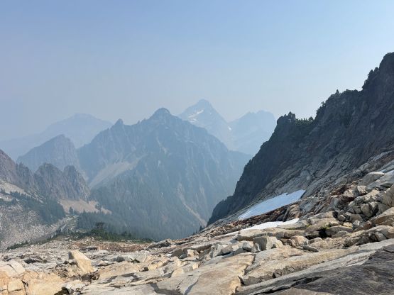
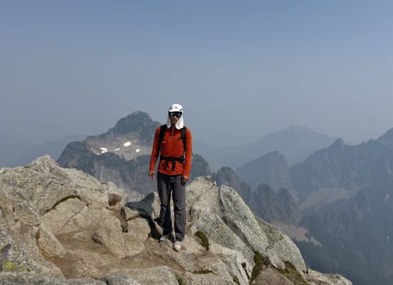
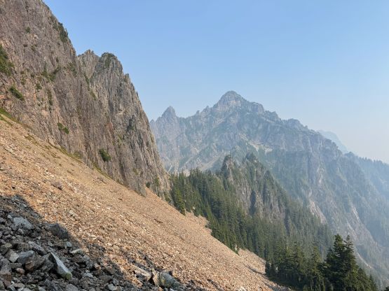
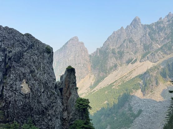
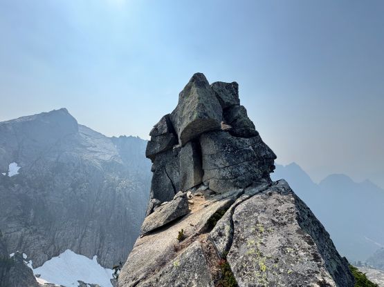
I quickly started the descent down towards Vesper/Wolf saddle which again, required some route-finding and 3rd class moves. I again, likely didn’t find the path of the least resistance but neither did I actually look for that. I would not bother with “Wolf Peak” if I didn’t actually have to traverse up and over it, but if I was already “right there” then I might as well tag it. The true summit actually involved a stretch of exposed 4th class scrambling which I thought was quite fun. This probably boosted my motivation so I made quick work down towards Wolf/Sperry saddle afterwards. The path was very easy to pick up and I pushed all the way to the basin under Sperry Peak’s summit block to take the next break.
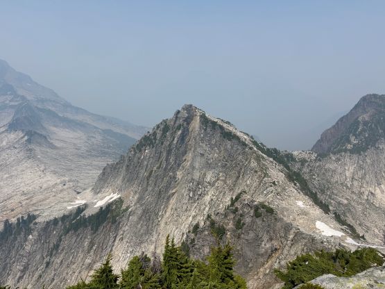
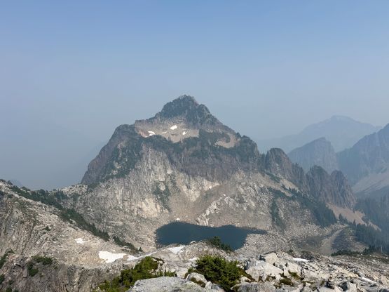
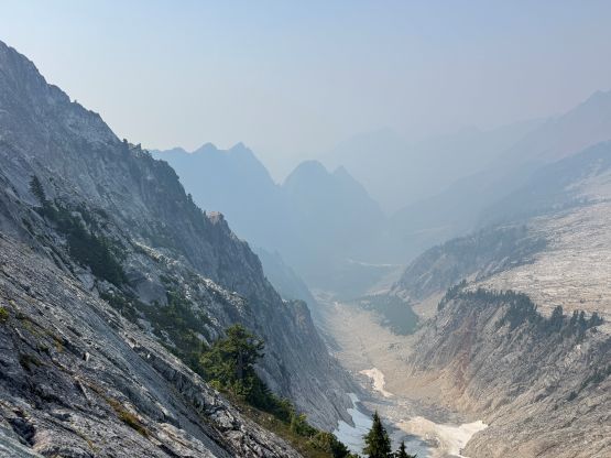
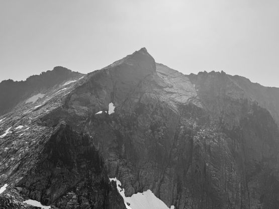
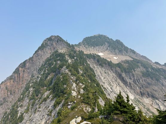
I did not do any research about Sperry Peak other than downloading a set of GPX tracks, and the decision was mostly to follow the tracks but I would use my own sense as well. The scrambling was not difficult but the route-finding was trickier than I thought. I was able to follow the path for most parts but as soon as I went off-route I would find myself in exposed terrain, sometimes necessitating vege-belaying. I eventually went too far off-route and was too lazy to backtrack, so just scrambled up some exposed and chossy sections along the NW Ridge. The summit was then attained but this time I stayed for a bit longer since I caught some sporadic cell reception.
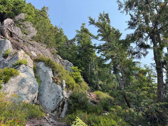
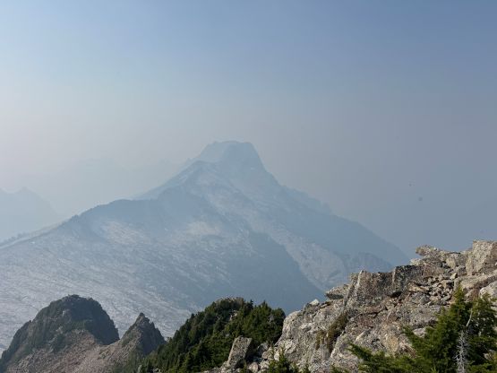
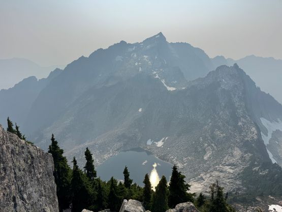
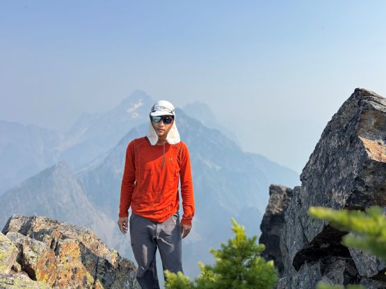
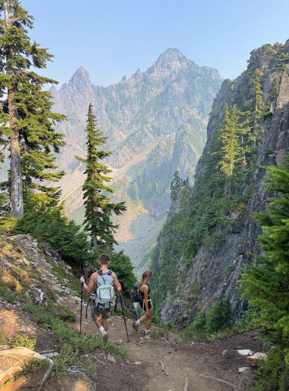
On the descent I paid a lot more attention in route-finding and managed to find the correct path. I have to say that it wasn’t that easy to stay on course. To descend from Wolf/Sperry saddle I also went down a bit too early but honestly I didn’t care. I was able to find a way that worked for myself and that’s good enough. After reloading the water bottles at Lake Elan’s outflow I made a single dash down to the trail-head, passing that two hikers again on their way down from Vesper Peak. My round trip time was 6 hours 20 minutes. It was already too late to push back to UBC to have dinner together with Clair so I found a Mexican restaurant in the vicinity of Marysville and then drove all the way back by late evening. This was an outing that definitely took longer than I thought and I was quite tired afterwards.