Vantage Peak
January 27, 2017
2235m
Pemberton / Duffey Lake Road, BC
There isn’t much need to introduce this very aptly-named Vantage Peak. Although small in nature, sitting right beside the classic Joffre Group means this peak offers some of the unparalleled views towards the nearby giants on a clear day. The normal approach is along Cerise Creek. The standard route is a fairly straightforward scramble up the W. Ridge from “Vantage Col” (or precisely, Matier/Vantage col) in dry conditions. For winter enthusiasts the NE Face offers a steep skiing line. The same W. Ridge can also be done in winter, although a bit scrambly in nature and won’t qualify a classic. I ascended the W. Ridge as a short diversion from my approach to Snowspider Hut and the approach and return are all written in my Snowspider Mountain’s trip report.

Vantage Peak ascent route. GPX DL
The first business was to dig a snow pit and hide my unnecessary overnight gears (tent, sleeping bag, stove, etc). I thought about just ditching the entire backpack but the route isn’t particularly short so I figured I might actually need some of the gears. There’s overall 300 m elevation gain and weather wasn’t very stable. Meanwhile doing the transition I took a much-needed energy break. Then upwards along the ridge I soon picked up a set of tracks. It looked like at least 2-3 skiers had went for the summit recently and that greatly eliminated any route-finding issue for me. The ridge, although tame on paper, isn’t smooth and is embedded with lots of micro-terrain.
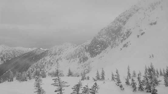
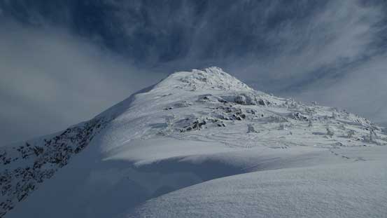
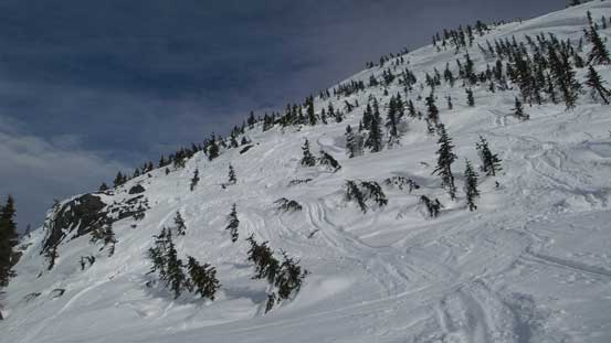
The ascent started out with little hope to have good views…
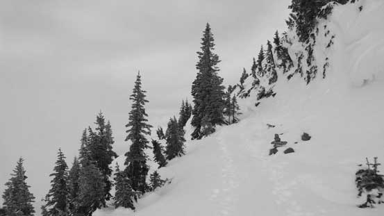
Zig-zagging through some steep micro features..
There’s a flatter bench about half way up and here I broke through the low valley clouds. Now with a fantastic valley inversion my energy was suddenly boosted. The upper ridge was increasingly steep and eventually at about 50 m below the summit I ditched the snowshoes. The previous party went into boot-packing mode too. The crux was just before the final summit ridge as I must scramble over a short rocky step. After that it’s just a short walk to the summit.

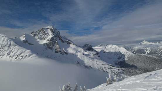
Breaking through the low clouds, now looking at Mt. Howard
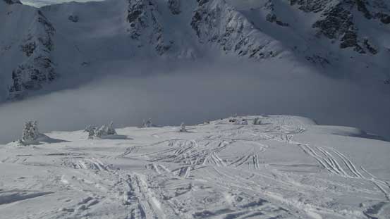
Arriving at the flatter bench midway up, looking ahead

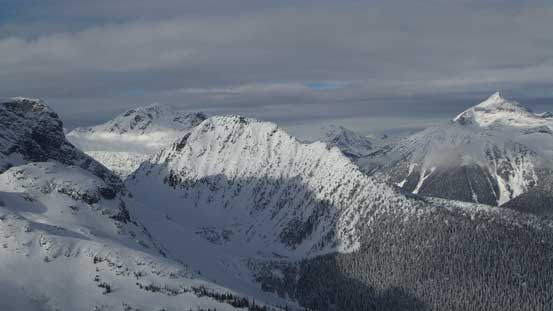
Mt. Rohr et al. on the north side of the valley.
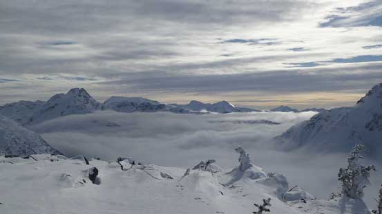
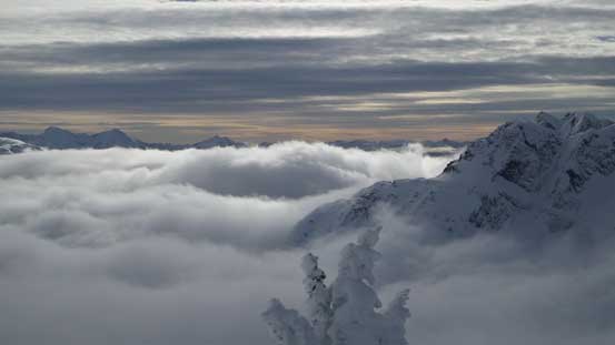
Very cool valley clouds looking south.
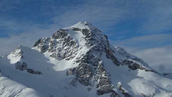
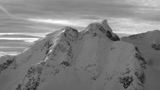
Mt. Chief Pascall looking good under the sunlight
A zoomed-in view of Joffre Peak

One of my favourate shots in this trip. Matier and Joffre above the clouds
Another picture of Joffre Peak and the low clouds
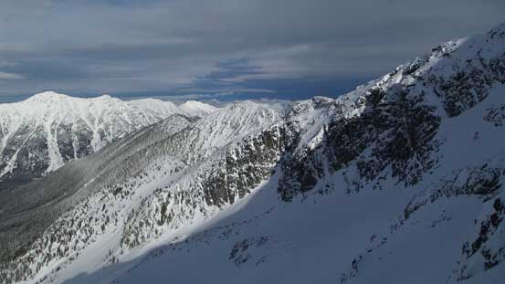
Looking sideways across the N. Face of Vantage Peak into more Duffey country
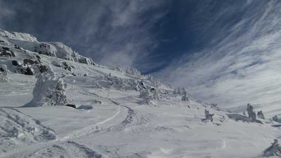
Another shot looking up
This is looking down.
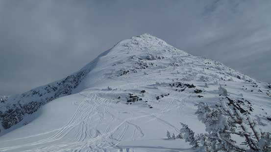
Slowly making my way towards the summit.
Not something often seen here.

The terrain starts to get quite steep
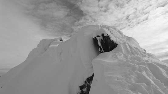
The cornices are enormous on the summit ridge
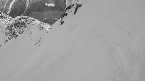
This is the entrance to Vantage Peak’s NE Face. Looking good…
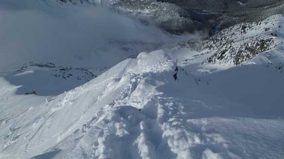
Above the rock step crux, looking down.
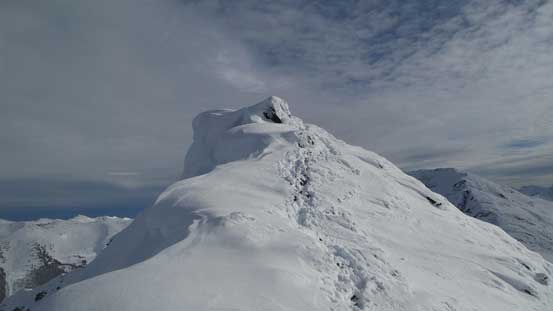
The last bit to the summit.
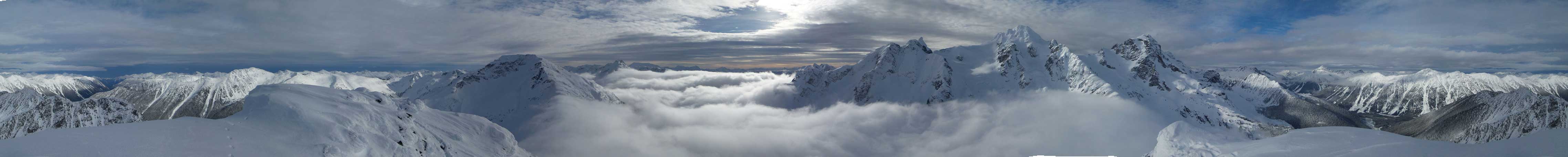
Summit Panorama from Vantage Peak. Click to view large size.
Looking south at Mt. Duke.
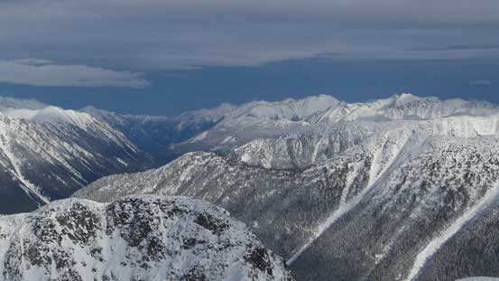
Peaks east of Blowdown Creek drainage including bigger ones like Channel and Tigger

Looking way into the peaks by Downton Creek drainage with big ones like Melvin and Seton.
A zoomed-in view of Mt. Howard

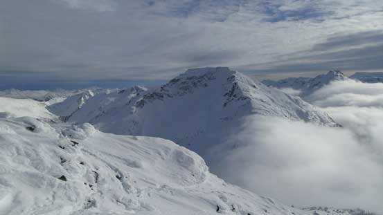
This is Snowspider Mountain – my main objective in this trip.

A wider shot looking across Caspar Creek towards Mt. Caspar and other peaks
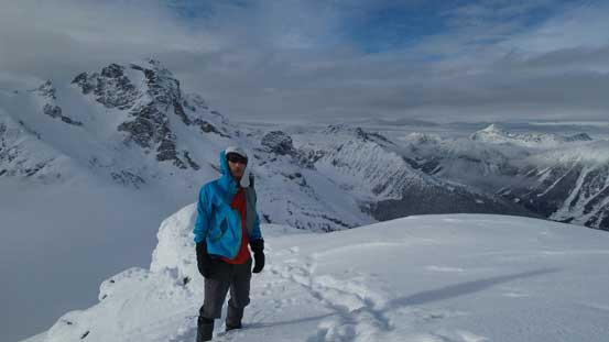
Me on the summit of Vantage Peak.
Despite the fact I wasn’t doing super good on time I still went for a 30-minute stay on the summit. There was no wind and I really wasn’t looking forwards to descend into that valley fog again. But eventually I had to keep moving so down the same route I went. The ridge wasn’t as bad I thought it’d be. The grade was steep, but not that steep and the snow wasn’t crusty which allowed me to short-cut here and there as opposed to following the uptracks.
Time to go down..
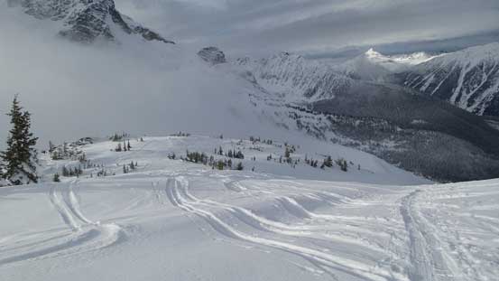
Ready to re-enter that cloud layer…
Eventually the goodness was over and I must face that valley fog again. Into the white-out and that wind picked up again at Vantage Col. I quickly repacked and went for an interesting descent down the Twin One drainage towards my destination for Day 1. Regarding Vantage Peak I’d highly recommend even just for the views. However, the W. Ridge isn’t primary ski terrain. It’s not primary snowshoe terrain neither expected for those with Lightning Ascents and a ton of experience so that to know some little tricks on micro-terrains.
