Manzano Peak
April 2, 2022
3078m
Albuquerque, NM
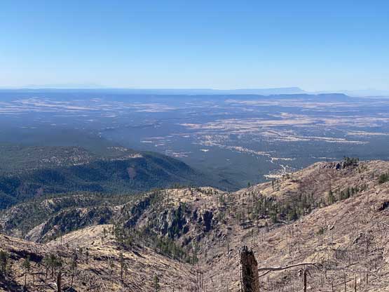
Manzano Peak is the highest peak in Manzano Mountains and subsequently boasts almost 1000 m prominence. I noticed this peak by browsing the “World P600m objectives” map on peakbagger.com. This peak sounded a little bit more interesting than a few other prominent peaks in central New Mexico. The standard route basically follows a trail from Pine Shadow Springs but I decided to challenge that. The trail traverses some high country in the forest and it’s impossible to tell whether snowshoes were required or not. I did not want to haul snowshoes for no use but I also did not want to fail this objective for not bringing the right gears. I consulted with the maps and came up with my own solution to attack directly from the east side. While driving towards Pine Shadow Springs I noticed the east side was mostly open and free of snow, so 100% I did not need snowshoes for my proposed route. Another advantage is a much-higher starting point and a much-shorter distance. The downside would be the unknowns associated with bushwhacking and scrambling but I could deal with that.

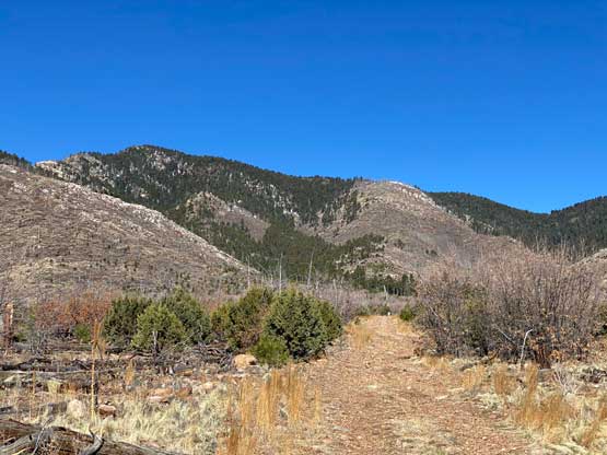
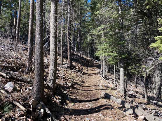
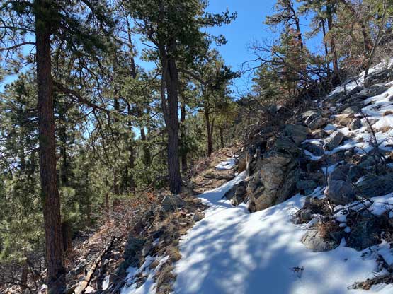
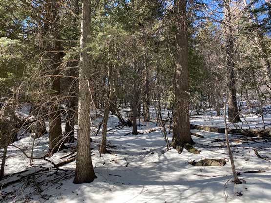
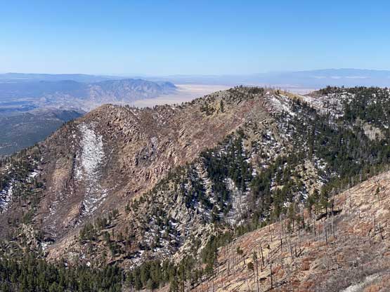
I was hoping to drive up the final mile of the spur road but that was definitely 4×4, high clearance country. My rental Mitsubishi was not equipped for that, so parked on the main dirt road. I easily walked to the east side trail-head at the end of the spur road and followed this trail for another kilometer-ish into the forest. I started to encounter patchy snow and the snow was soft, but the post-holing wasn’t too bad. When the trail started to turn northwards I left the trail and ascended open forest (on snow) onto the east ridge at 2750 m elevation.
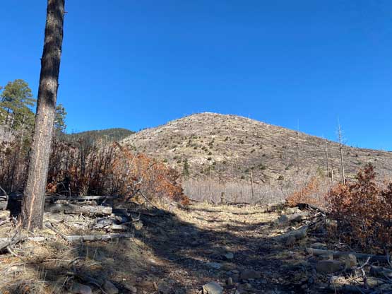
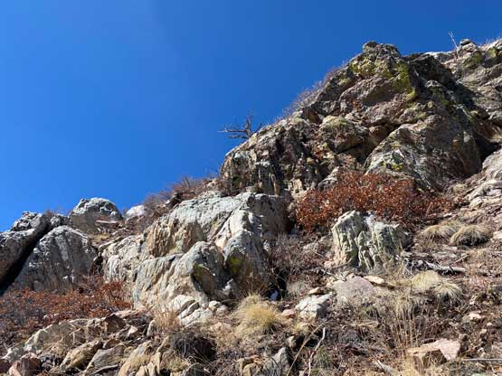
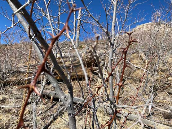
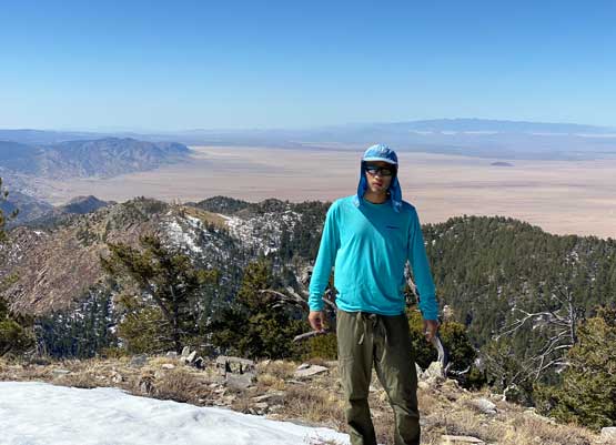
The going on the ridge was worse than expected mostly because of thorny plants. The worst was the stretch immediately after topping onto the ridge. I almost regretted my decision to make an experiment on this peak but after suffering through the worst of the cactus type of plants the going had become easier again. There were still thorny plants, but the bushwhacking was in the tolerable range. The few cliff bands required abundant class 2 with occasional class 3 scrambling with route-finding. The final 100 m to the summit felt like a drag and the summit itself offered less views than the ridge lower down. Overall I did not enjoy this peak at all nor would I enjoy it by plodding up the standard route neither. At this point I was getting tired of this trip and just wanted to go home, but thank to Alaska Airline I had to spend one extra day in either New Mexico or Colorado.


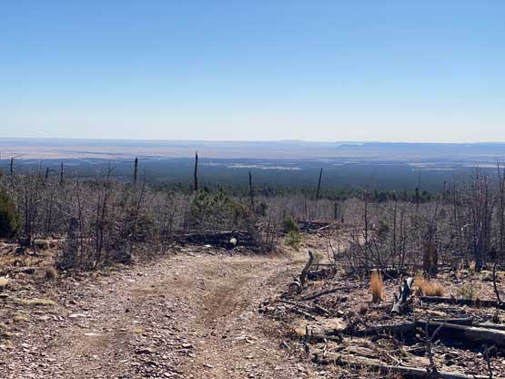
On the descent I carefully retraced my own route back through the cliff bands and the cactus fields. Lower down I reconnected with the east side trails and made another short-cut to erase one seeming-unnecessary switch-back. My round trip time was under 3 hours on a very leisure pace so I’m 100% sure my route would be faster than the “standard route”. The downside is the associated unpleasant terrain with bushwhacking and the requirement of route-finding through cliff bands. My next objective was Sandia Crest near Albuquerque but I did not have to go into that city. I simply let the Google Map to direct me there.