Mount Diablo (CA)
January 9, 2022
1173m
San Francisco, CA
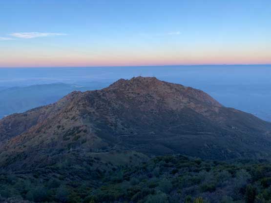
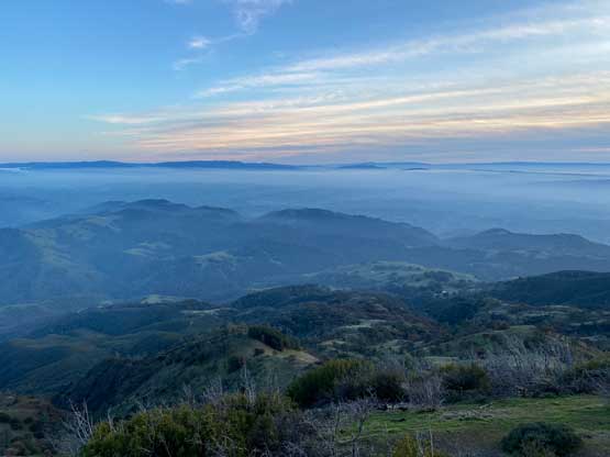
Mt. Diablo is probably the most popular peak in the Bay Area with a paved road running all the way to the summit where a lookout tower is located. This peak is the highest in the vicinity with over 900 m prominence. Most tourists simply drive to the top but hikers can walk to the summit from various stages on the access road. The access road does have a gate hour so the summit is only accessible in daylight time. Earlier in the day I had bagged Loma Prieta and Copernicus Peak before having a catch-up with my high school friend in the city of San Jose. By the time I drove out of the restaurant I only had about 2.5 hours of daylight so I had to hassle a bit. I followed Google’s direction to the south side access road. The gate was at about 2/3 of the way up and I stopped to purchase a ticket. I thought about to just drive to the summit, but decided to park a few kilometers from the top and walk the rest. I was not doing particularly good on time, but there was still enough time to do some hiking.
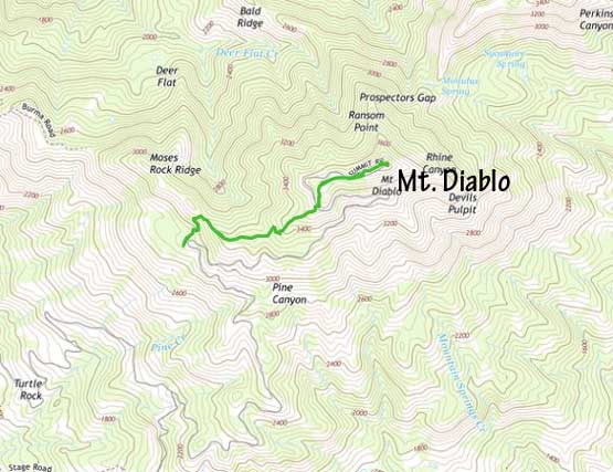
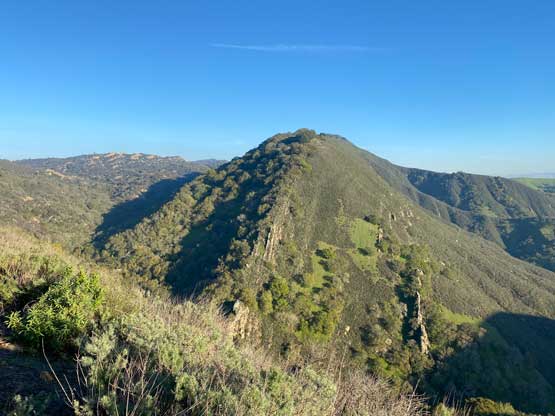
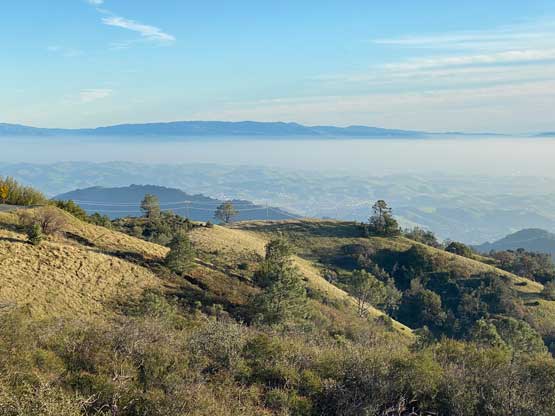
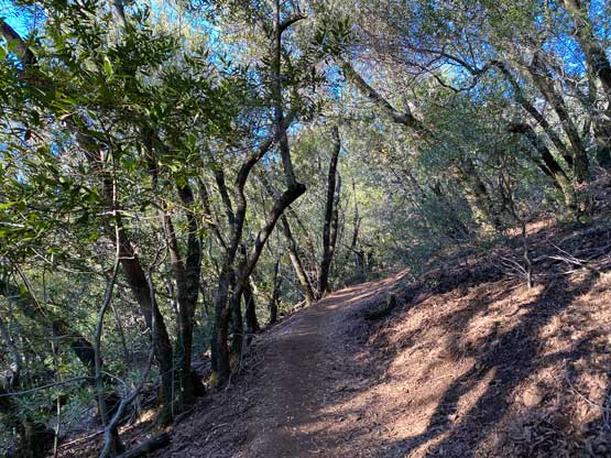
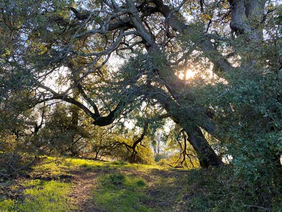
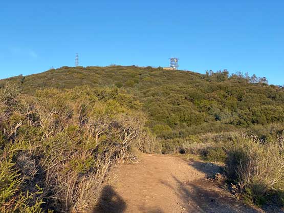
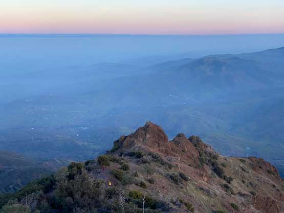
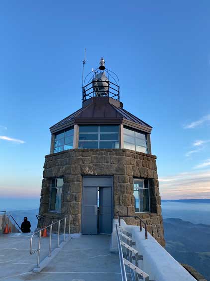
I parked near Juniper Campground and easily picked up the well-trodden trail onto the upper west ridge. The trail was rather boring but offered intermittent views of the Bay Area. The trail brought me to a higher switchback of the access road, which I crossed. I then walked into a large parking lot but that’s not the uppermost parking lot. The summit was not far away from this point. I had to ascend some staircases on the lookout structure to find better views. There were too many tourists on top probably all having COVID so I did not linger any longer than absolutely needed. I did not even ask someone to take a picture for myself.


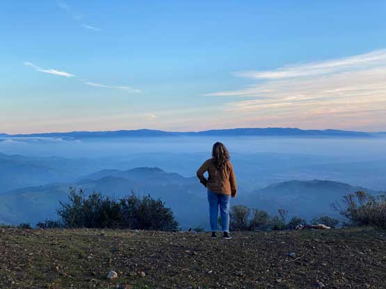
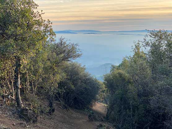

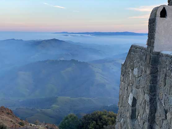
I rushed down from the man-made tower and found a spot with some solitude for a bit of resting, then proceeded the descent following the same route. The sunset was earlier than expected and I barely got back to the truck before dark. I took a long break at the truck to gather some strength for the long drive ahead. The goal was to push north to at least Redding but I was hoping to push to Mt. Shasta village. It turned out that I only barely managed to Redding and I was so spent that I needed one hotel stay. I spent about 90 USD for the night.

The next day, Day 22 in this peak-bagging trip I woke up naturally and pushed all the way back home. I received the negative test result just about to enter the state of Washington, and subsequently pulled over to fill in the ArriveCan form. Rain finally hit when I drove through Seattle and eventually I got back to the border crossing at 11 pm. The traffic delay was zero, but of course the border guard would give me a “randomly chosen” take-home PCR test in addition to the one I just had three day earlier. This one was free, but pain in the ass with some lengthy online registration process. I probably had wasted 3 hours in total including sending the sample to Surrey for collection. And of course the result was negative that came out two days later, so what a waste of resource.
