Thacker Mountain
March 3, 2021
252m
Hope, BC
“Thacker Mountain” is rather just a forested bump in the immediate vicinity of the urban areas of Hope, but offers some excellent trail systems. The name is unofficial but not randomly assigned by bivouac.com like some other names in the area, and in fact this name has been well used among locals. The lookout that’s slightly past the highest point offers some neat views down towards the town and I can totally see why this little hike has quickly gained popularity in the recent years. This peak offers a very high view-to-effort ratio.
Kat and I wanted to get out on this Wednesday but she hasn’t hiked for a while. I thought about Iron Mountain near Maple Ridge but opted for Thacker Mountain near Hope because the weather forecast looked fairly decent. Thacker Mountain offers better views and does not involve bushwhacking. The downside was the longer drive. It’s about 2 hours of driving each way for a rather dumpster summit, which might be a deterring factor for some, but not for me. We left White Rock at around 9 am and made to the trail-head two hours later following the direction given by Google. I had done zero research and to my surprise, the roads shown on my Gaia map weren’t driveable to the end. After the roads turning into gravel we soon came to a locked gate. There wasn’t an obvious spot to park at the gate so I backed down and parked at the bottom of the hill.
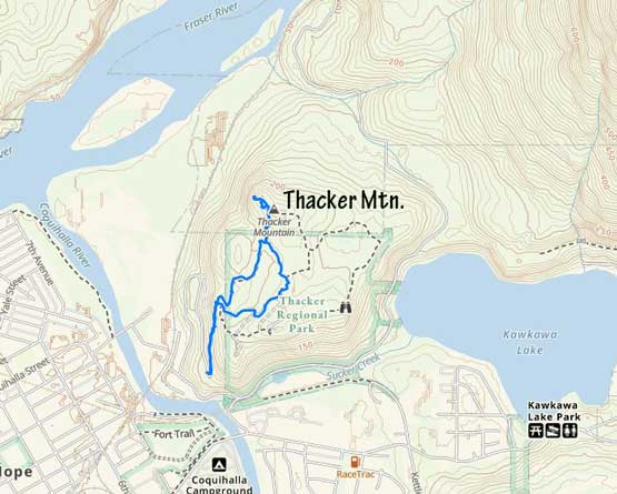
Thacker Mountain hiking trail. GPX DL
From where we parked the elevation gain to the summit was about 150 m so this was still a very short hike. The first stage was plodding up this deactivated road to a semi-open lookout. The views were not as good as I was hoping for, so we resumed on. I didn’t “plan” a route before this trip so the decisions upon reaching all intersections were all spontaneous and on-field calls. We ended up taking the “road” for a couple hundred more meters and then followed a semi-muddy trail on some undulating terrain. The final rise to the summit area was a little bit steep. The true summit appeared viewless so we firstly went to check the lookout past the summit, which was totally worth the effort.
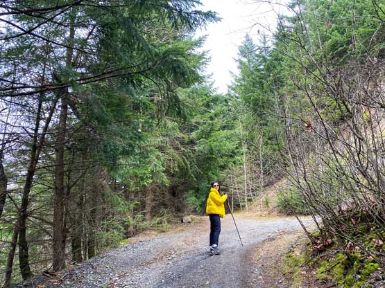
Kat starting the hike on the gated logging road
Kat coming to the first viewpoint. The views were pretty averaged though

Continuing the hike onto more logging roads
We finally picked up a trail but it’s clearly not the best trail around here

Walking around a swampy section

Me at the lookout past the summit

A glimpse of the north face of Hope Mountain

Dog Mountain across Fraser River

This is looking down into the town of Hope

“Chawuthen Peak” at center and “Insight Peak” on the far left

Kat posing on the Thacker Mountain’s lookout
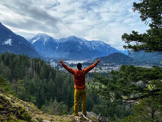
Me doing my obligatory Instagram post on Thacker Mountain
After taking enough photos I led Kat bushwhacking to the true summit just to claim this peak, and then bushwhacked a short ways down to rejoin the trail. We picked up a better trail on the descent and avoided those muddy spots. The drive back home was uneventful but a bit tiring. I did get back in time, but unfortunately didn’t earn that extra time to take a nap before the afternoon work.

Starting the bushwhack to gain the true summit…
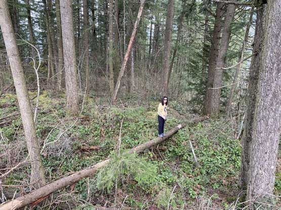
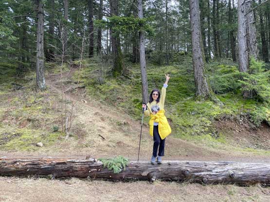
Kat didn’t quite want to walk across this slippery log.

Where to go next…

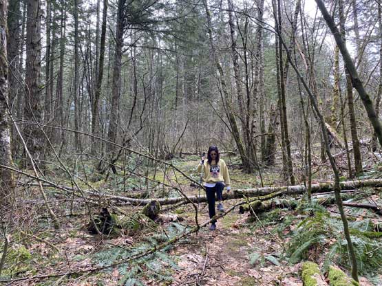
The true summit is somewhere in the middle of this jungle mess…
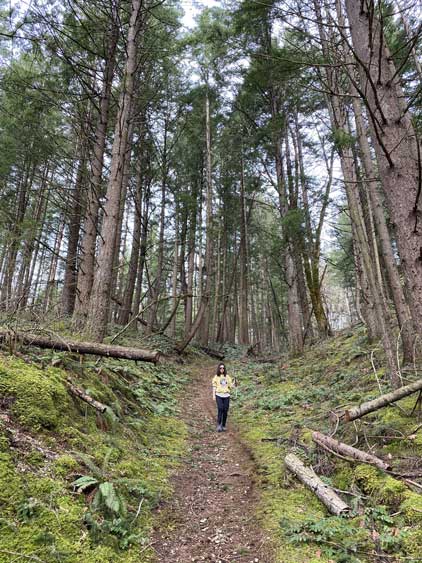
We picked a wider trail on the descent
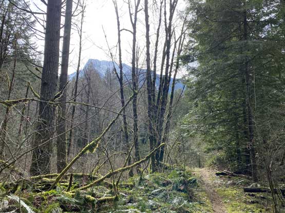
As typical as the views through the woods

We came across this stagnant tarn
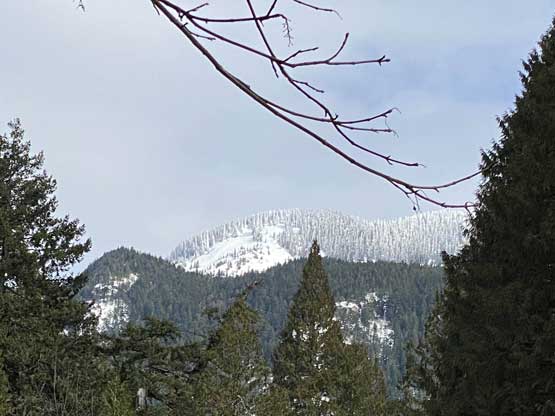
A glimpse of the snowy higher slopes on Ogilvie Peak

A zoomed-in view of Hope Mountain from the trail-head
