McBride Peak
July 27, 2015
2273m
McBride, BC
McBride is a small town at about 1 hour’s drive north of Valemount, along Highway 16 on the far NW corner of the central BC Rockies. This area has roughly the same latitude as Willmore Wilderness, but on the opposite side of the continental divide. Over the past few years I’ve been wishing to visit this area for at least once but it was never high on the list. The biggest objective is obviously Mt. Chown but everything else is generally diminished and less impressive by Rockies’ standard. McBride Peak is perhaps the most popular, and the easiest peak thank to a well-built logging road that brings one to almost treeline, and would serve greatly as an introductory.
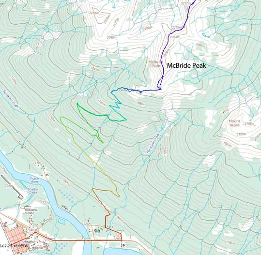
McBride Peak ascent route. GPX DL
The original objective between Mike and I was Peveril Peak near Jasper, but unfortunately the forecasted clearing trend didn’t come true and we woke up in pouring rain. We looked around and saw better weather towards west (and confirmed by the most recent weather forecast that we obtained in Jasper). Unfortunately none of us came prepared for an alternative objective by Robson area (and I knew based on experience all of those would involve extensive bushwhacking and elevation gain). Given the downpour in the previous day we didn’t want to get soaked in bush, so eventually we were guided to McBride by my limited memories from mountain-research.
The trickiest part would be the driving. Given the well-built logging road obviously you’d use it unless you want to walk an extra 13 km one-way with 1000 extra meters or so’s height gain. The problem was, we didn’t come prepared for that and Mike’s SUV was not meant for off-road travel. The road passing “halfway viewpoint” was narrow, steep and rough so classic 4×4 terrain. We eventually stopped at just passing kilometer 7 at a switch back and walked from there. The road walk was tedious and boring and our mood was not high given the low expectation from this lowly summit. To make things worse, we started to see some weather coming in from the north-west…
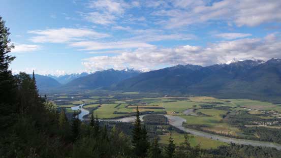
A view of the Fraser River Valley from the “halfway viewpoint”
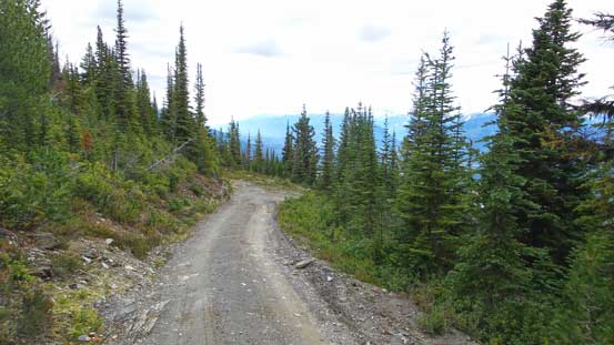
The boring road slog…
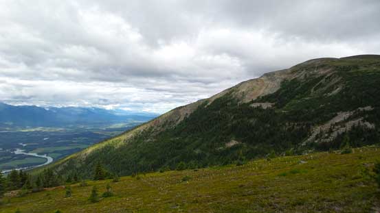
The road eventually transitioned to an ATV road near treeline and this road brought us to a shelter/weather station thing. After taking a short break we picked up the trail and continued onwards. This trail brought us circumventing the peak a bit towards climber’s right rather than tackling the direct ridge line. The main reason (I think) was to avoid the boulder fields near the ridge. The last bit to the summit had some loose scree adding some variety.
The bump immediately to our West is unnamed
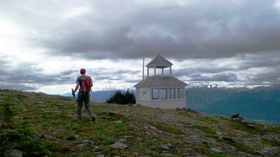
Mike and the shelter at the end of the ATV road

The very unimpressive McBride Peak…
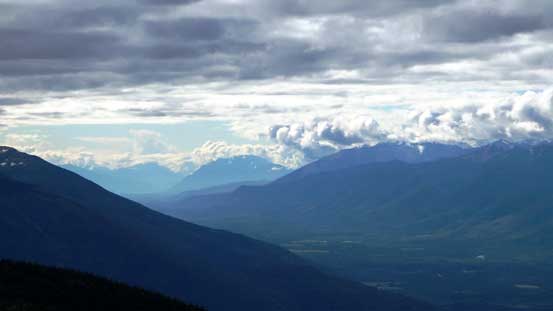
Looking far SE down the Trench towards Valemount area
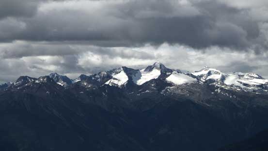
Some interesting peaks in the Cariboos

Sunbeam shone through the clouds

Mt. Teare is the bump in foreground

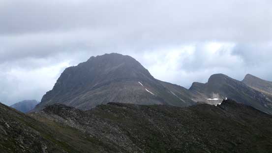
Some impressive peaks nearby are unnamed, somewhere near Reel Peak
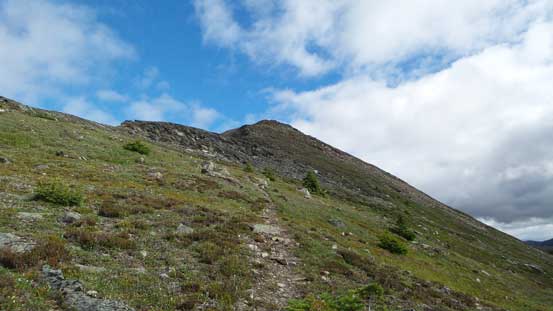
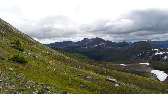
Hiking along the trail
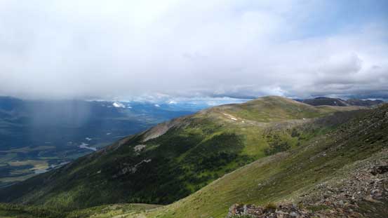
Looking towards the unofficially named McKale Peak
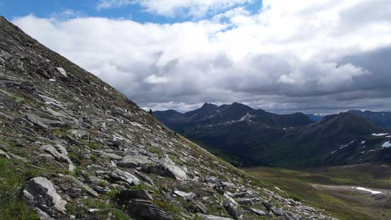
Terrain gets a bit steeper near the summit
Another look at the unnamed bump to our west
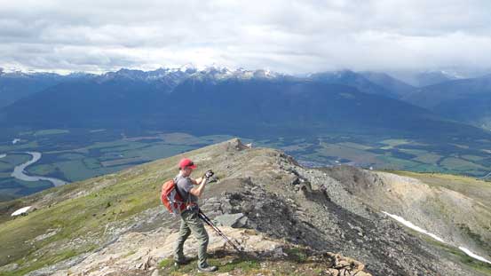
Mike taking in the views
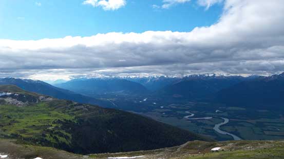
The Rocky Mountain Trench

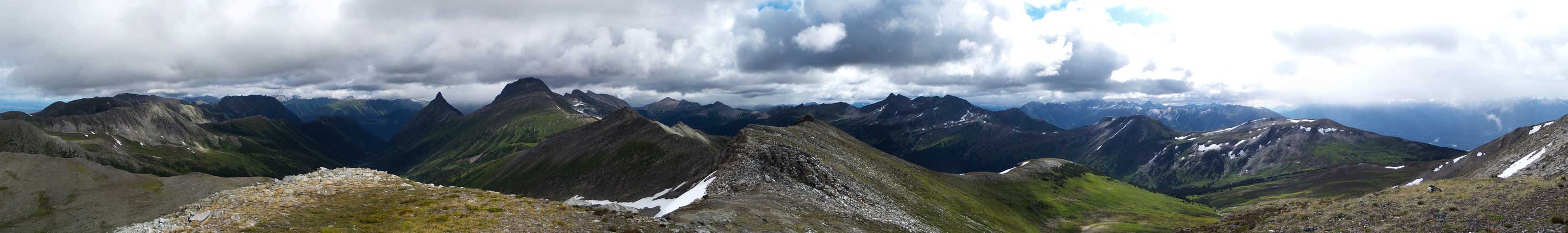
Panorama of Rocky Mountain Trench from the summit. Click to view large size.
Congregational Peak will be our next objective

Another panorama view. Click to view large size.

This impressive pinnacle is The Blackwater Tusk
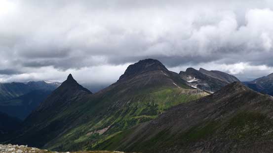
Congregational Peak and The Blackwater Tusk
Panorama view from the true summit. Click to view large size.
Weather was really not as good as we’d expect and we got snow’d on the summit. Thankfully the storm passed by in a short time and with the entire day ahead of schedule we had to get a bit more creative. There’s the official Mt. Teare just to the south but that’s a rather uninterestingly looking “peak”, and to get it we had to lose more than 300 vertical meters. I vaguely remember the big peak further down the ridge had an unofficial “bivouac.com” name and it didn’t look terribly difficult from our vantage point, so that’s where we’d go next.

[…] of the Fraser River in the Robson Valley that I took in the summer of 2013 during a hike to McBride Peak. This is an awesome example of oxbow lake. We can still see where the river used to run previous to […]