Ashes Peak
May 22, 2022
2128m
Garibaldi Provincial Park, BC
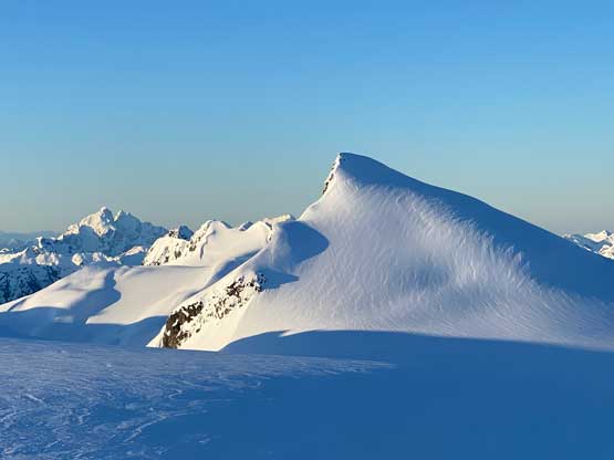
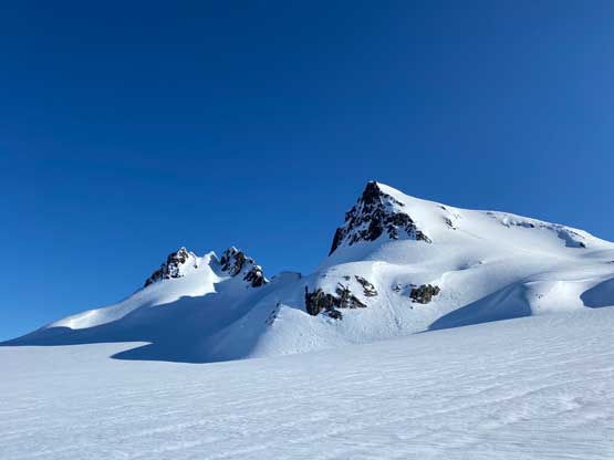
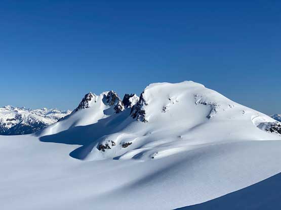
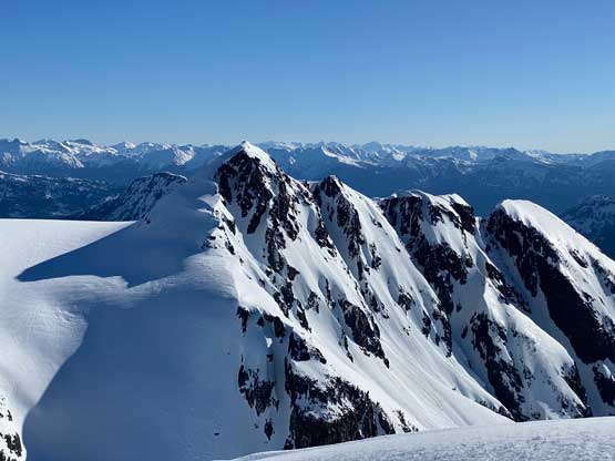
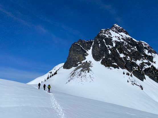
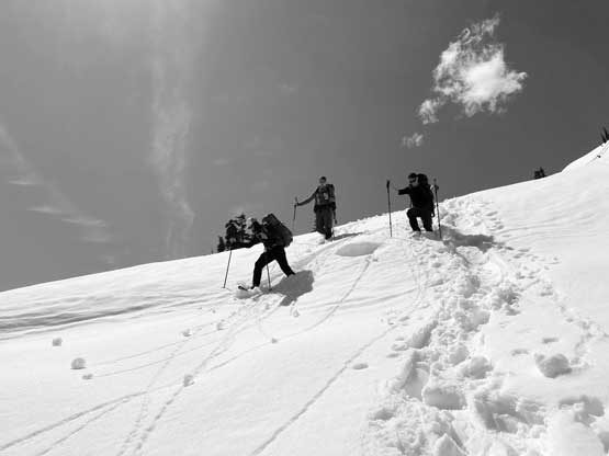
Ashes Peak is the easiest summit in the Fire Spires group on Terrarosa Glacier but it’s still a beautiful-looking peak. The ascent is nothing fancier than a 100-m slog on snow from Terrarosa Glacier but the question is how to get there. Earlier in the trip Alex, Phil, Francis and I had climbed Mt. Glendinning and Ember Mountain. I then soloed the true summit of The Flames and now all of us were on our way to Ashes Peak, the final objective in this trip. We were thinking to do two more peaks but those did not look interesting enough so nobody was keen to push.
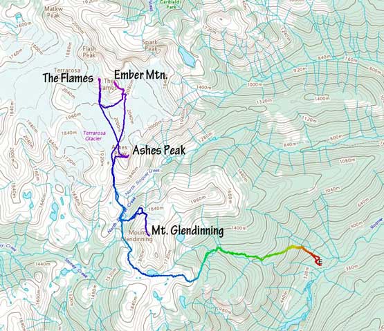
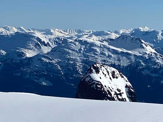
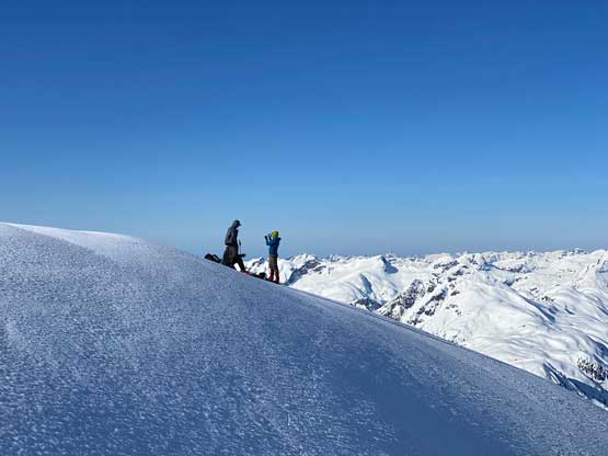
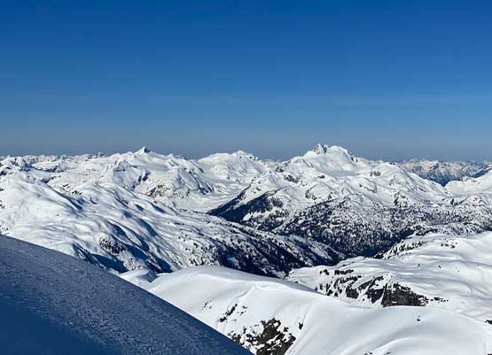
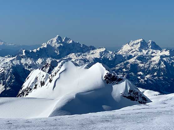
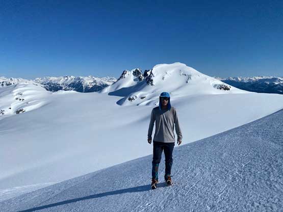
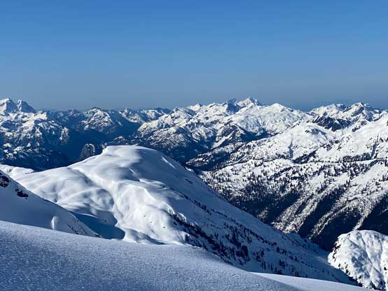
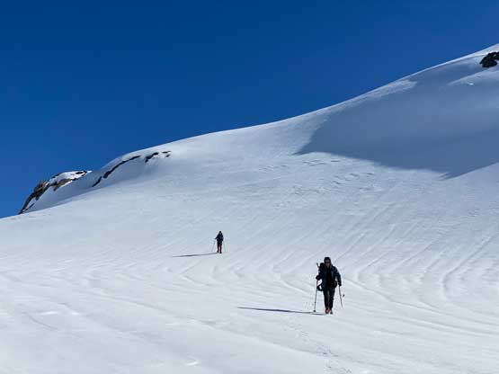
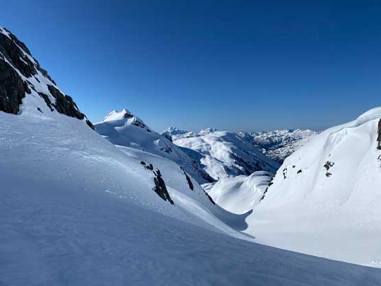
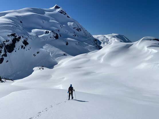
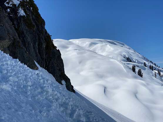
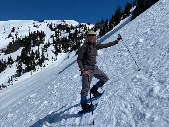
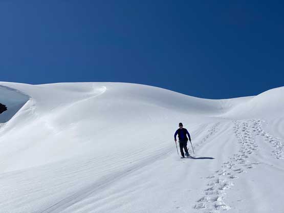
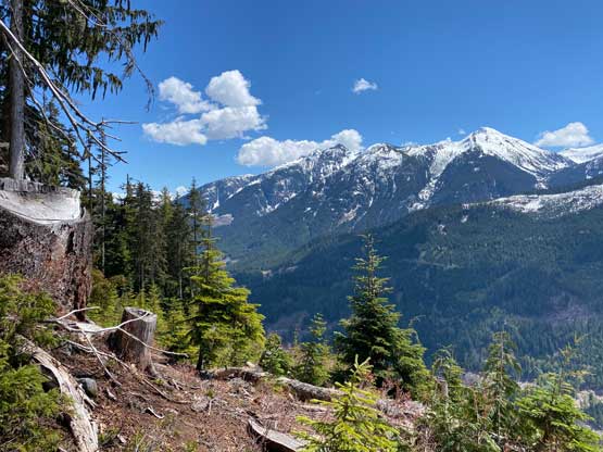
The other guys were all very much near the summit of Ashes Peak when I started the plod backwards across Terrarosa Glacier. I opted to use snowshoes as plodding on snowshoes was a little bit faster than on crampons. It didn’t take me long to start the 100 m elevation gain towards the summit. The slog seemed to drag on longer than expected. The summit of Ashes Peak had some huge cornices that we couldn’t tell the boundaries so we had to say no to the 360-degrees views. That’s fine as the best views were looking north towards the Fire Spires.
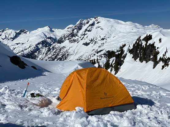
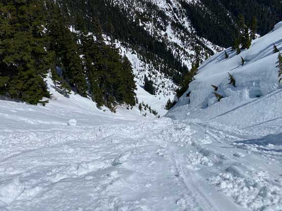
On the descent three of us opted to use crampons and we took a short-cut directly plunging into the chute that would eventually bring us back to camp. Halfway down the chute the snow had turned into mush and the post-holing had become knee deep, so we stopped to put snowshoes on. The snow condition deteriorated rapidly such that by the time we got back to camp we were post-holing in mush even with snowshoes on. Because of that we did not do any unnecessary lingering. A few of us were busy to break camp while Alex took his time melting additional snow for water and for a hot lunch. About an hour later we were able to get going again.
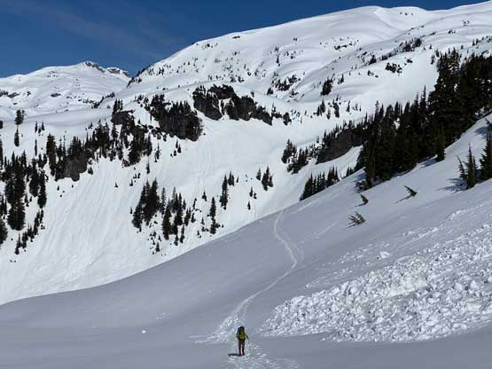
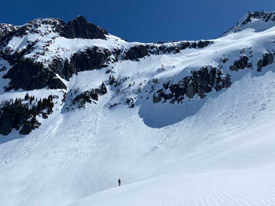
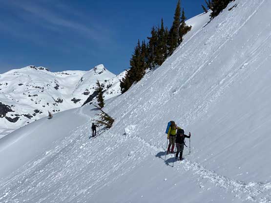
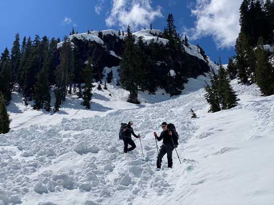
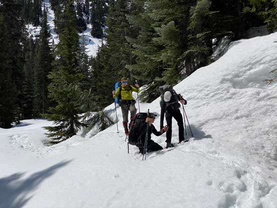
The massively long traverse across the west slopes of Mt. Glendinning was still in the shades so the snow condition held nicely. About halfway across this awkward traverse we met up with Vlad on his way in. Vlad had no idea where Chris was so we assumed that Chris was at least one hour behind. Vlad did not come with an ice axe nor crampons so to make sure he could summit Ember Mountain I lent my Petzl Gully to him, little did we knew that he would eventually come out with two ice axes in hand.. The 150-m regain to get back onto Mt. Glendinning’s south shoulder was a tiring grunt and nearing the end of this stretch we met Chris coming in. Based on their pace and their location we knew they would definitely get Ember Mountain but they probably would have to get out near dark. We resumed our respective paths with us post-holing in increasingly mushy snow down towards the chute. The section above the chute was an absolute shit show with every step post-holing down to knee+ deep in the isothermal cement. We all had concerns about the chute itself but there’s no other option. About 1/3 of the way down the I took the snowshoes off and started to glissade, which seemed to work better. Wherever still in shade the conditions were still icy so all of us were out of control momentarily. The bottom of the chute was a pure crap with some thigh deep wallowing even with snowshoes back on.
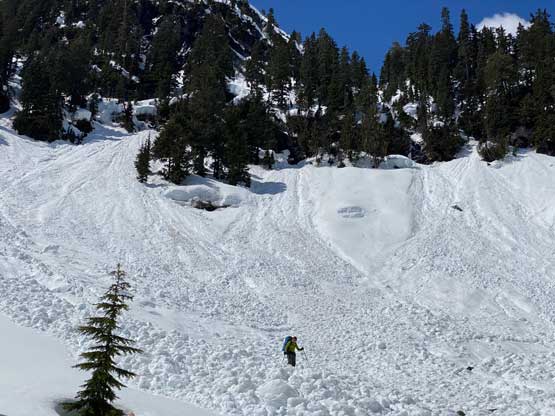
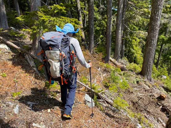
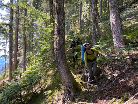
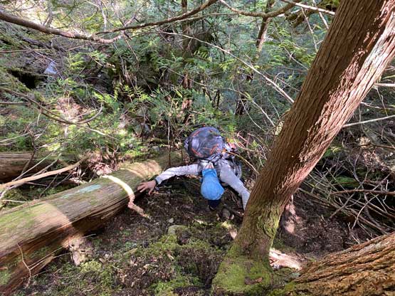
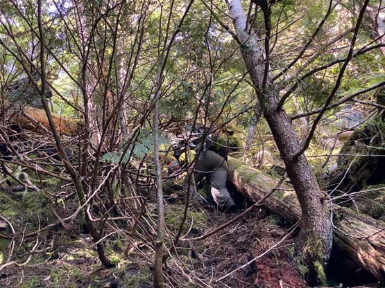
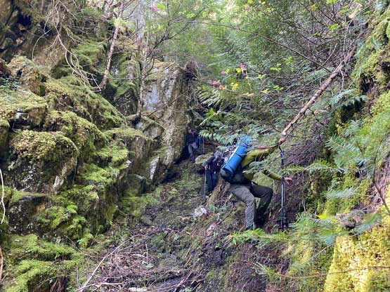
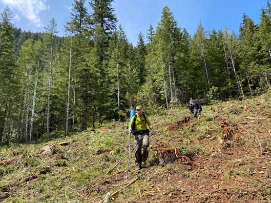
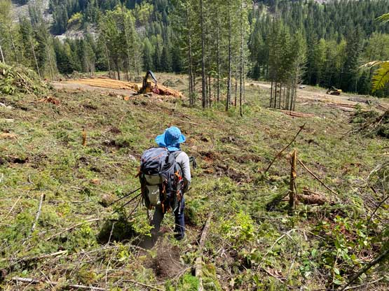
The plod back across the valley right next to the creeks was definitely mushy, but not as terrible as the steep zones such that we were able to make steady progress. A few spots had some deep holes but that’s it. We stopped at the creek crossing to load up the water bottles and then wore snowshoes all the way to the edge of the 3rd cut-block until completely running out of snow. We did not stay as high as on the way in, so did more bushwhacking inside those cut-blocks, which wasn’t as bad as I thought. The traverse/descent back to the “keyhole gully” was not very pleasant with some level-3 bushwhacking over dead-falls and consistent requirement in GPS navigation. The keyhole gully wasn’t too bad to descent but we had to take our time due to rockfall potential. We took another break somewhere in this steep forest as we were tired and hungry, and then committed to the rest of the descent. We eventually got back to the truck at 2:30 pm. Phil realized that he had dropped my aluminum ice axe somewhere, so we hoped the other team could find it and bring it back. And sure enough 6 hours later I got a text from Vlad that he ended up having two ice axes.
The drive back out of the Sloquet area up the Lillooet West FSR was never-ending. There seemed to have more pot-holes and washboards such that I didn’t go faster than 50 km/h on the way out. I also had to stop for a nap in this stage. Once back to the Duffey Lake Road I redirected the Google Map GPS to the Splitz Grill in Whistler. It’s a long weekend, so the line-up was a bit long, but still in the tolerable range. We eventually got our burgers after about 40 minutes of waiting. The rest of the drive home was very tiring and the traffic was a little bit heavy. I eventually got back home at 10 pm or something. I was completely drained but satisfied.
