Ossa Mountain
July 22-23, 2018
2261m
Squamish / Squamish Valley, BC
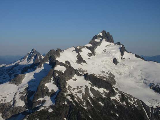
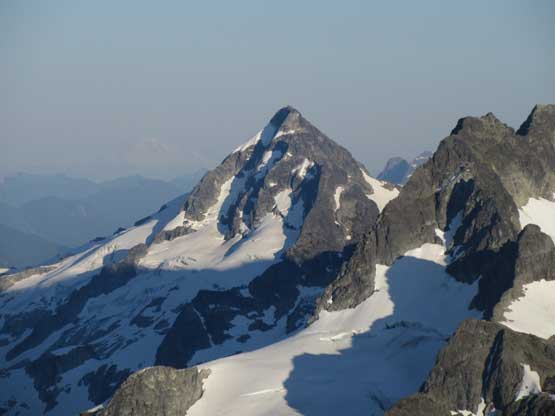
Ossa Mountain sits in the far northern end of Tantalus Range and is relatively more popular than its neighbours. The reason is simple – the inclusion in Matt Gunn’s Scrambles in Southwest British Columbia. The standard route goes up the west ridge via Sigurd Creek trail. A whooping sea-level-up push and route-finding on 3rd-4th class terrain is required, but despite that the tradition is to man it up in a single day push, for those considering themselves as “hardcore peakbaggers”. The peak is guarded by shear faces on all other sides with its north face offering some high-quality alpine climbing. The plan among Alex, Ben, Matthew and myself was to ascend everything in the northern Tantalus Range in a single batch. Ossa Mountain would be the last one after already knocking off Mt. Tantalus, Zenith Mountain and then Pelion Mountain earlier in this trip. We linked up Pelion to Ossa via an unknown “high route” on the south side of the dual and the camp was set high on Ossa Mountain’s west ridge.
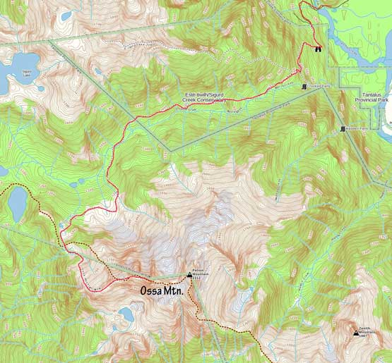
Ossa Mountain standard scramble route.
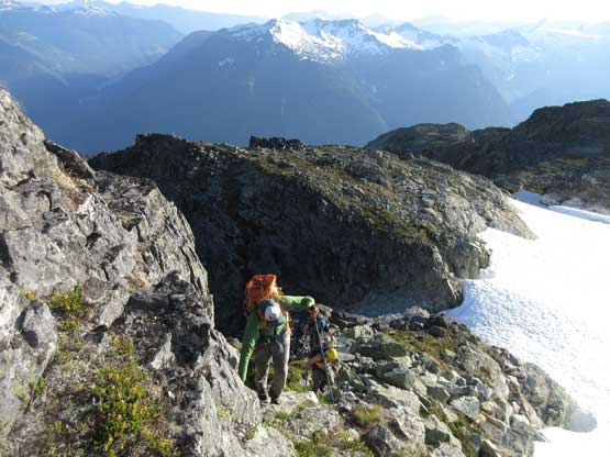
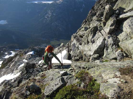
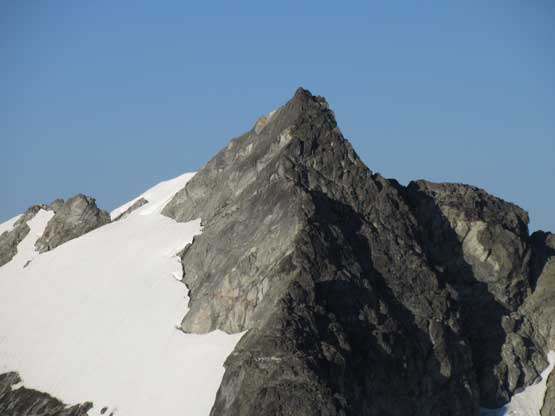
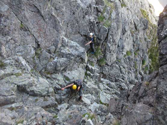
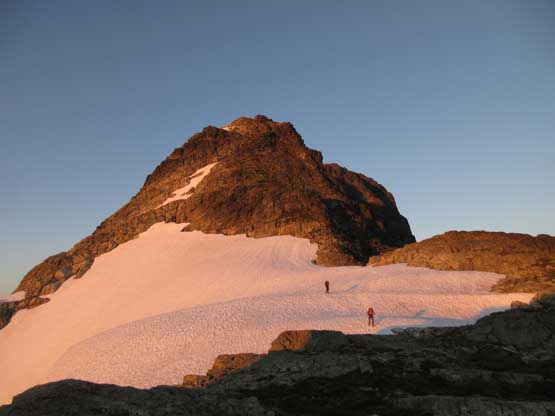
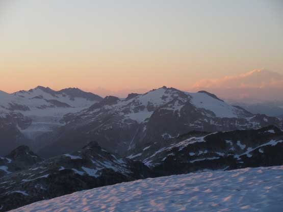
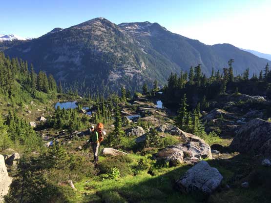
After leisurely setting up the tents we decided to go for Ossa Mountain and watch sunset from up high, for the sake of reason of why-not… The upper west ridge consists of a series of plateaus and steep-rises but generally speaking the terrain never exceeds “class 2” until near the top. The major rise ahead of us appeared intimidating, but actually not. We made very quick progress to the supposed crux. It was very clearly marked. I thought the scrambling was “class 3” only as I could comfortably do it in trail-runners without having to think much about the moves.
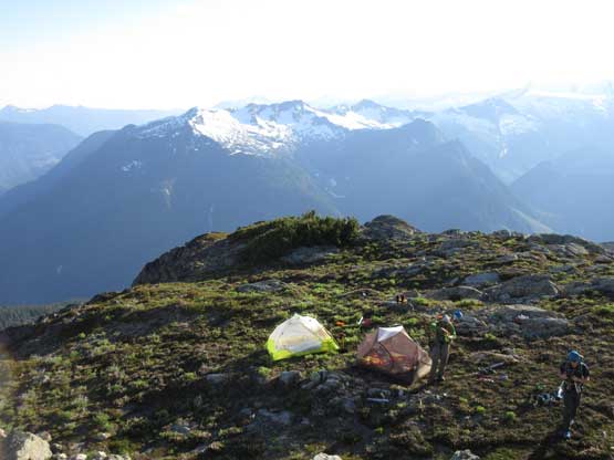
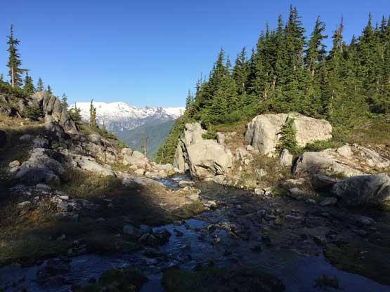
Leaving our camp behind.
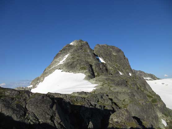
This is the major bulk of rise we had to deal with
Alex scrambling up.
It’s nice to be back on scrambling.
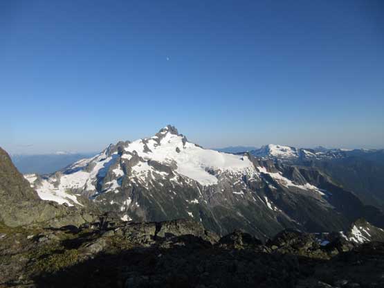
The view of Mt. Tantalus is mind blowing
Me going for the next rise. Photo by Alex

Matthew down-climbing the crux area

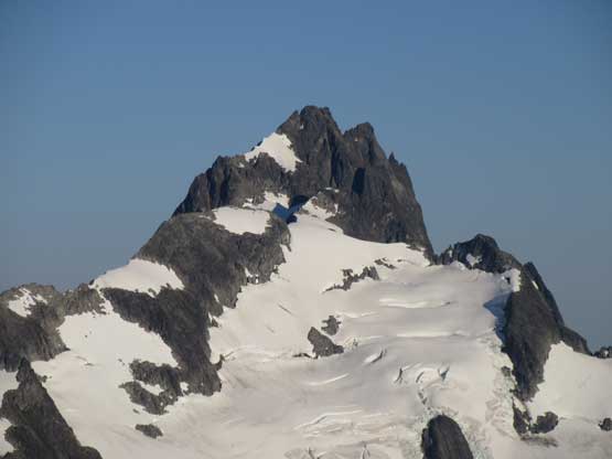
Alex climbing up the “class 3” chimney.
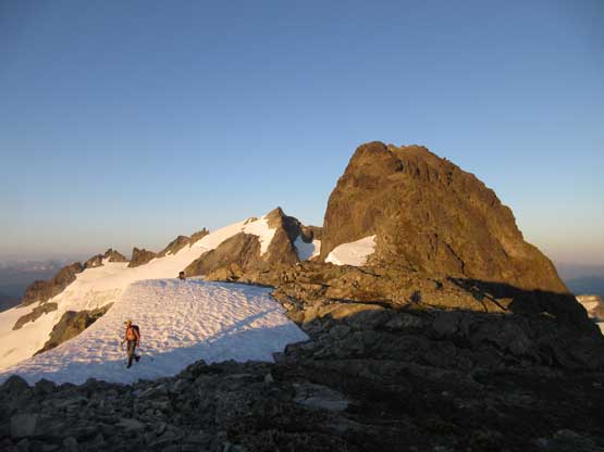
Beyond the crux chimneys we topped out on the false-plateau and the true summit was still a bit of walking ways away. The view was as expected, awesome towards all directions especially looking back at Pelion and Tantalus that we just bagged. We checked the summit register entries and was surprised to see John Clarke’s in 1960s. We also noticed another funny entry. Apparently we saw two scramblers on the summit of Ossa while we just topped out on Pelion earlier in this day, and they wrote that “we saw two goats on the summit of Pelion”…. Oh well.. Are we goats? That’s actually a good question… The summit has many platforms to bivy on top for those into that.
Matthew arriving at the summit of Ossa Mountain – his second time up here
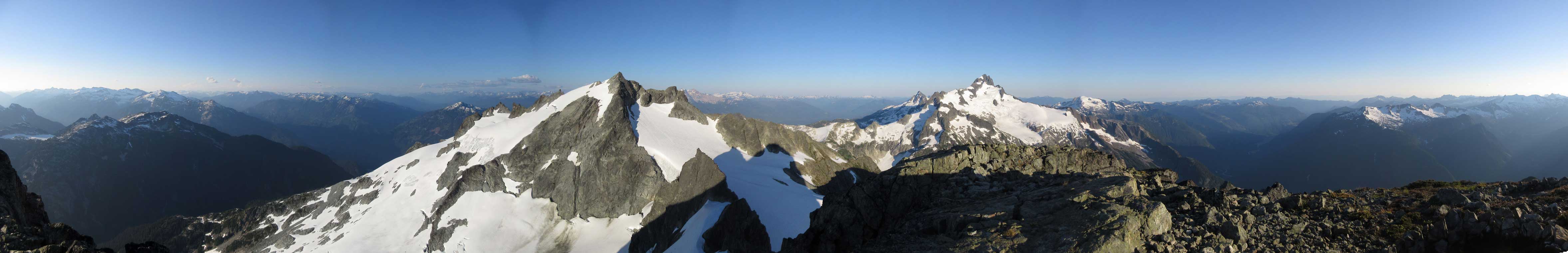
Summit Panorama from Ossa Mountain. Click to view large size.
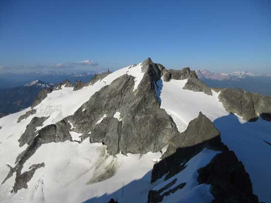
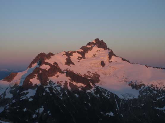
Pelion Mountain which we just bagged
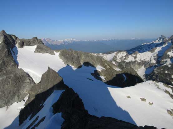
In this shot you can see the shadow of Ossa Mountain
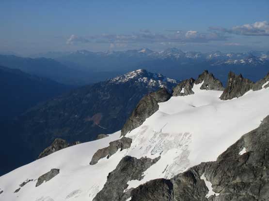
Behind the Pelion’s north glacier one can see Cloudburst Mountain
Mt. Tantalus in its full glory – bagged the day before…
Phantom Mountain lit up by the late-afternoon sun beams
Mt. Sedgewick
A closer look at Mt. Tantalus
Alpha Mountain
A zoomed-in view of Pelion Mountain. We rappelled off the face on right.

Zooming-in towards Whistler we could see Wedge Mountain on the skyline
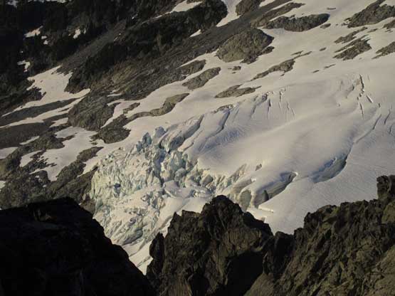
Crevasses on Pelion’s north glacier
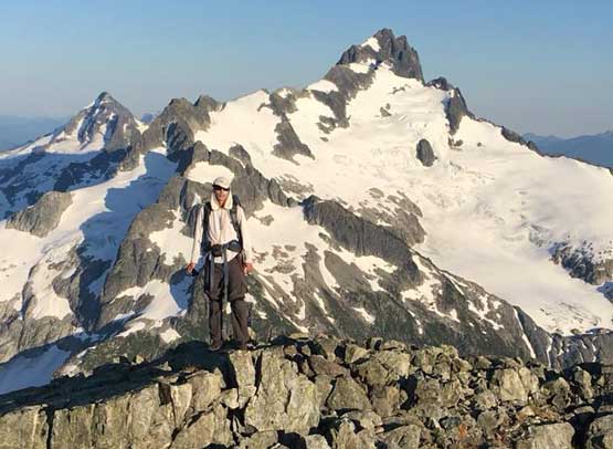
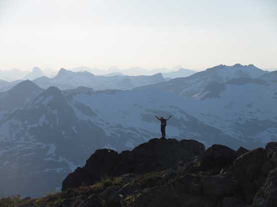
Me on the summit of Ossa Mountain
We didn’t have a ton of time to kill so started the descent once we finished the obligatory photos. Down-climbing the crux was very easy and I could actually do most of it by facing outwards. In no time we had left all of the technical difficulties behind, and the rest of the descent back to camp was a blast while enjoying the evening horizon.
Down-climbing at the crux area. This part still requires caution
Back to hiking now. The sun’s getting down
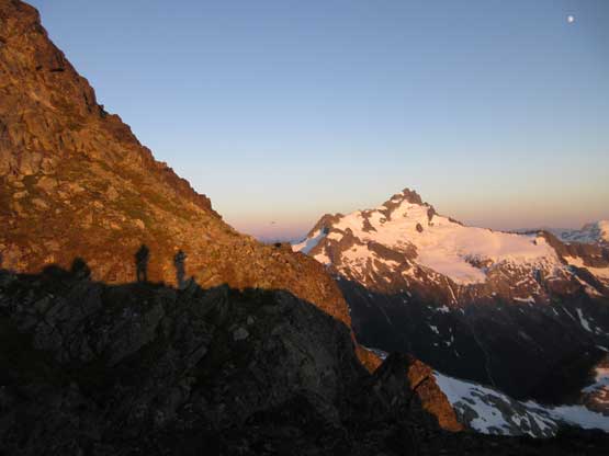
Our shadows on the face with Mt. Tantalus behind
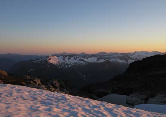
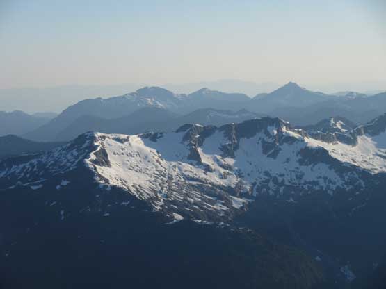
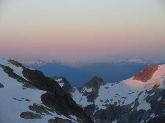
The western horizon with some rarely ascended peaks.
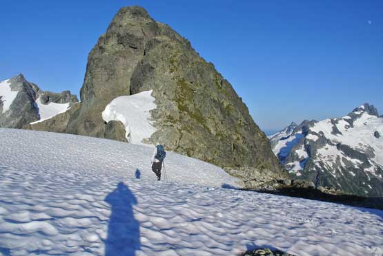
Hiking down on snow.

Evening glow on Mt. Sedgewick
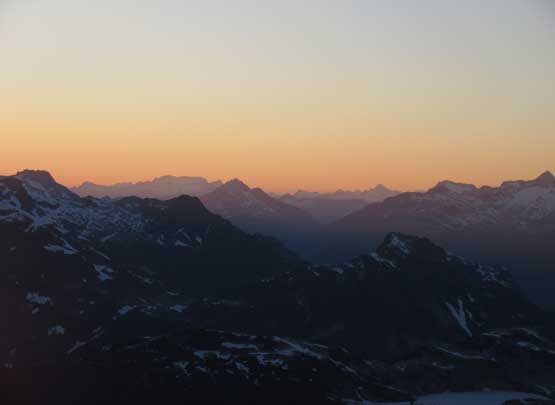
Evening horizon looking over Pelion/Tantalus shoulder
Mt. Tantalus on full glow
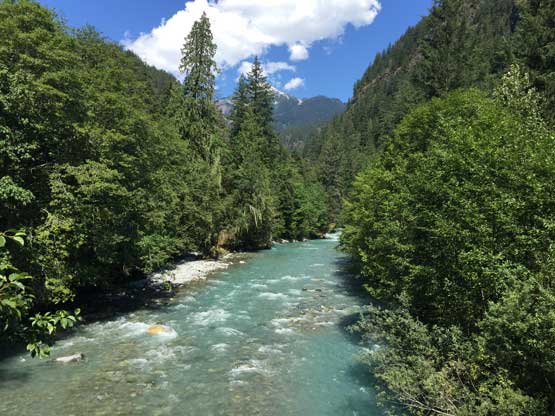
This is looking up the Ashlu River headwaters
Mt. Wood on Ashlu-Elaho Divide
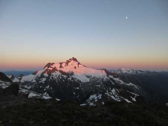
Another wider view of Mt. Tantalus on fire
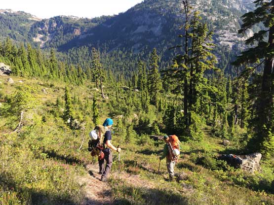
The next morning we woke up just after sunrise. The plan was to get back to Vancouver before the horrible rush hour traffic started so we had to resist the temptation of being lazy… Among the four of us Ben and Matthew had been up Ossa Mountain’s scramble route in the past but to just make things more secure I had come with a GPS track from a party that made the summit just a week ago. We were all set. I decided to do the entire descent wearing trail-runners and carrying the Trango Towers and that was a good call. The steep terrain getting down into the headwaters of Sigurd Creek was not pleasant, but wasn’t too bad neither. I was surprised to see a path/trail for most of the way along with a lot of flagging and markers. The several tarns down at Sigurd Creek valley would be excellent spots to linger, if not because of the bugs of course.
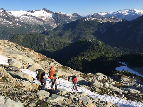
Hiking down the unpleasant terrain on Ossa’s scramble route
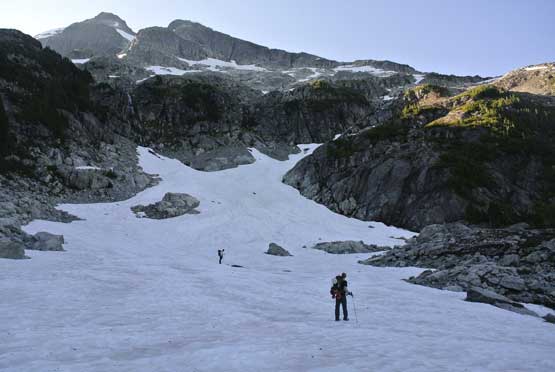
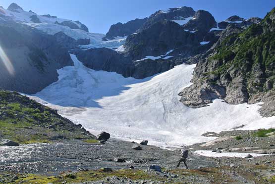
Into the basin we utilized snow
The terrain’s lovely but we were tired from the heavy packs.
Continuing down.
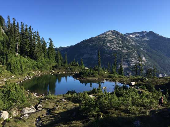
Arriving at these tarns now at the headwaters of Sigurd Creek
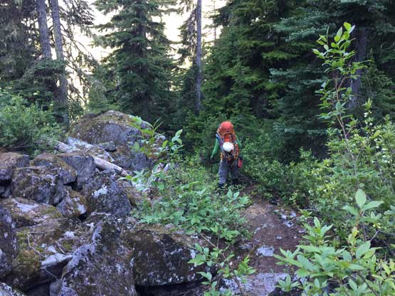
Lower down Matthew had remembered some steep grassy and bushy bashing like 8 years ago but those are no longer the problems nowadays. A trail was built and clearly marked by BCMC that reaches all the way into the alpine. Hiking down the trail back to Pelion’s moraine was easy peasy. We did have to pay attention in a couple boulder fields though. Fording the outflow of Pelion’s north glacier appeared to require taking the shoes off but the easiest solution was simply hiking up the valley to cross on snow. The next stage involved a bit of confusion and up-and-downs but with some GPS work we had no issue linking up with the Sigurd Creek trail and followed it down to the creek crossing. The bridge over Sigurd Creek was out but the fording was just knee deep or less. It was very easy. By this point we were tired but the game wasn’t over yet. Hiking out along Sigurd Creek trail was a pain in the ass. There are lots of up-and-downs, dead-falls, avalanche paths and a ton of descending down to sea level. It was brutal under the 30+ degree hot sun. The good thing? We crushed it and I’ve cleaned the peaks here and never had to go back.
Hiking down steep grassy slopes but with a trail

Ben leading the way to stay on trail
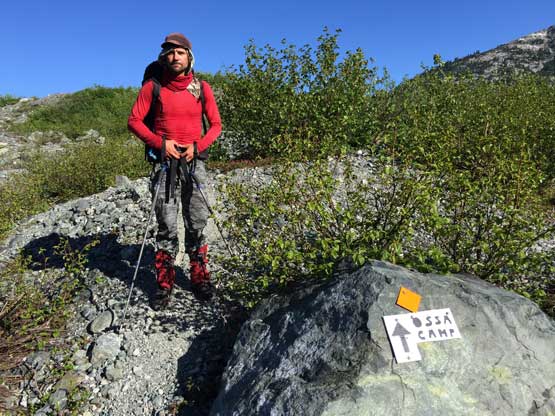
Matthew posing on the trail sign. We didn’t expect this
Arriving at the moraine underneath Pelion Mountain now. Photo by Alex
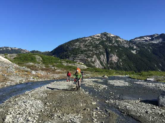
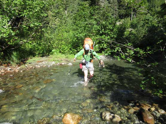
We hiked upstream to cross the creek on snow
This part of the trail sucks with a lot of boulder hopping
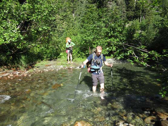
Ben fording Sigurd Creek
Alex fording Sigurd Creek. This is troublesome early in the season, but easy for us

Just one of the many avalanche paths we had to cross (on trail, of course)
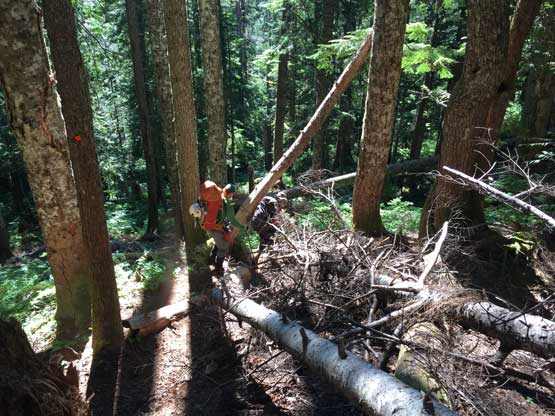
Lots of dead-falls too…

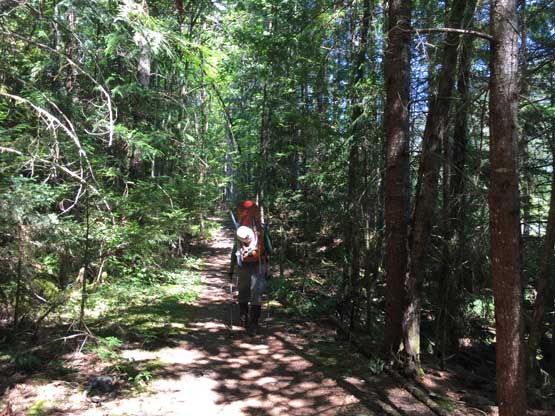
The trail’s a true slog. Lots of steeps and very boring..
Eventually we made back to the deactivated road section

Happy to be done with this slog.
The bridge over Ashlu River is decommissioned so we had to walk extra distance
The car swapping went by fluently and we drove out of Squamish Airport just after lunch time. We earned ourselves a lunch stop in the city of Squamish before rushing back home, and we did beat the traffics in Vancouver. This was again, a trip that required a ton of planning and turned out pretty much exactly as expected. The descent off Pelion’s SW Face was harder than I thought but otherwise we nailed every piece of route-finding in one shot. I spent two days sitting in front of my computer to research every piece of the route and it sure paid off. I don’t think many would even consider knocking off Tantalus, Zenith, Pelion and Ossa in a 2.5 day period but that’s it for you. Go do it…
