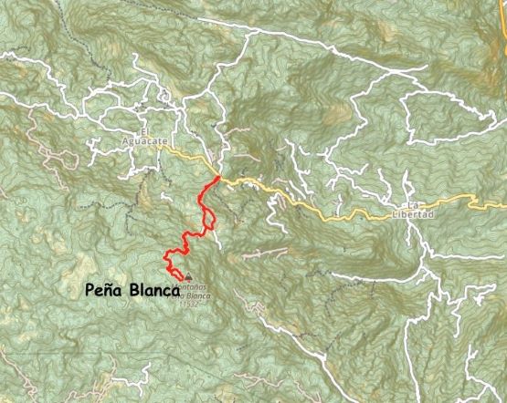
Montañas Peña Blanca
March 12, 2024
3520m
La Libertad, Guatemala
There are 6 “Ultras” or “peaks with more than 1500 m prominence” in Guatemala and this trip was planned around to (hopefully) bag all of these peaks. There are also a bunch of P1000m and P600m objectives that are too hard to pass, so I made sure to have 11 full days in the country to have more than enough contingency and/or time for bonus objectives. In terms of the logistics I decided to take Deividas’ advice to hire Oswaldo as the driver (with a 4×4 vehicle) while skipping the guides for majority of the trip. Most of my friends who bag peaks in the global scale had already done Guatemala so the information regarding the legality of having-or-not-having guides and the associated touring agencies was overwhelming. Deividas was the last of those (Nov. 2023) who went to this country so I opted for simplicity. I trusted that Deividas had done his homework thoroughly so I copied and pasted his advices. I did do my own homework and reversed Deividas’ itinerary after consulting with Oswaldo. This guy has spent 25 years in Guatemala’s tourism industry so he knows this shit. I too was more excited about the volcanoes in the Atitlan and Antigua regions, but doing the remote and obscured northern peaks first made the most sense from driving and acclimatization perspectives. Oswaldo also suggested to hire a guide for the first two objectives in this clockwise order due to the remoteness. Most of the locals living in La Libertad at the base of Montañas Peña Blanca had probably never seen a white person, so it’d be wise to have a local guide with us. The cost for a guide was 100 USD per day so I took his advice.
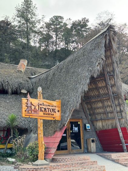
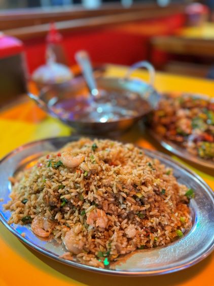
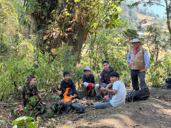
I had a few partners “interested” but Kate was the only one committed. This was not efficient from the financial perspective, but definitely made the logistics and planning easier, as from my own experience it’s much simpler to do these lengthy peak-bagging trips in a group-of-two. Kate and I booked our flights through Alaska Airline together, and arrived in Guatemala City at 6 am in the morning of March 11th. Oswaldo was already waiting for us at the arrival and we spent the next 6 hours or so driving to Huehuetenango. We stopped for SIM cards and grocery, and then checked in at the homestay that Kate found on booking.com. I was initially not happy about this place as the address wouldn’t even show up on Google Map and the entire serving process (online instruction) seemed rather informal, but I was definitely satisfied after getting in. There’s reliable wifi, hot shower and even a kitchen and that’s more than enough for my needs. Kate and I then did a short walk in the city and found a Chinese restaurant not far from our homestay. Oswaldo came to pick us up at 6 am on the following day and we made a short detour to Chiantla to pick up our guide, Firmin. To my surprise Oswaldo assigned us a guide who did not speak any English whatsoever, but that’s fine. I speak enough Spanish to get by without consulting with Google Translation, neither did we actually need his “guiding” anyway.
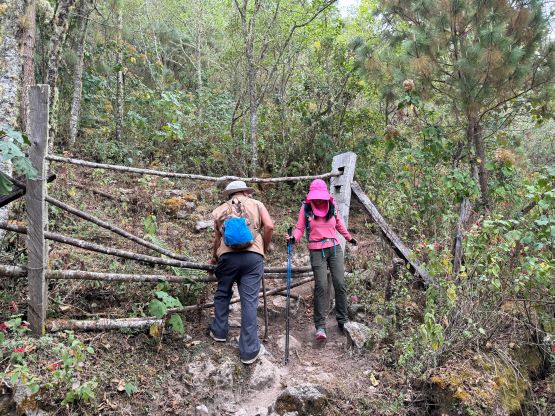
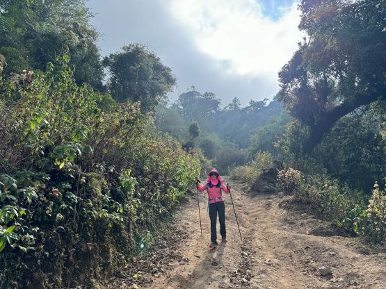
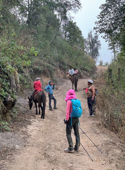
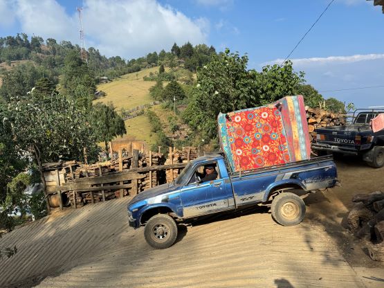
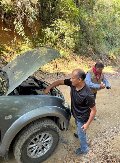
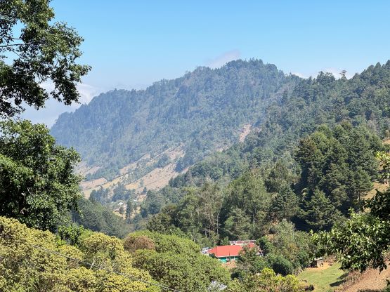
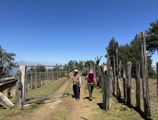
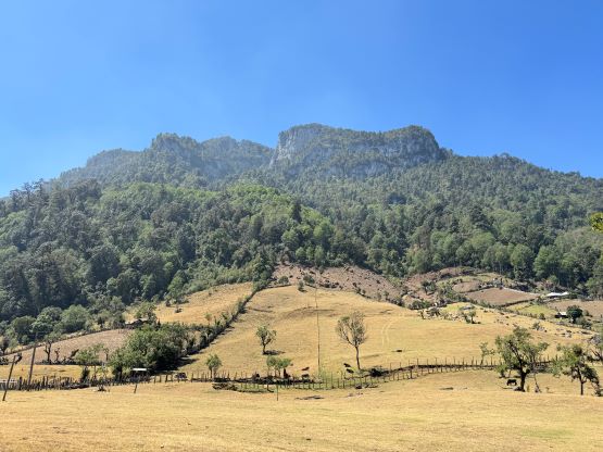
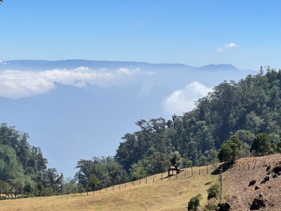
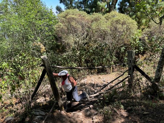
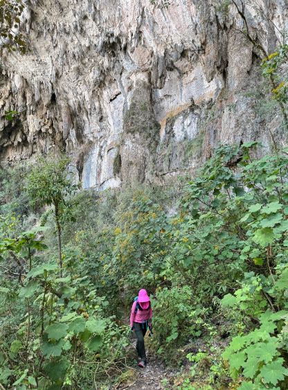
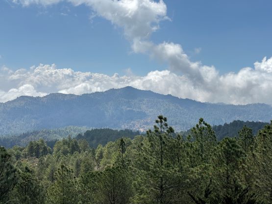
The drive to the trail-head high up on the hills above La Libertad was very eventful and much harder than the hike itself. The first unforeseen delay was a traffic congestion that costed us almost half an hour, and then there came the overheating of the vehicle’s transmission line. The roads above the small village of La Libertad was as narrow and steep as one could have imagined, but I thought the vehicle was also super capable. I guess it was not. We had to turn off the engine to cool off the engine using the jug of water that Kate and I bought in the previous day. The issue was resolved, thankfully. We also made a navigation error while looping around the unpaved but not-as-steep variation (there are two roads/options). Upon hitting a parked vehicle in the middle of the road I finally consulted with the GPS and realized we had overshot a critical turn-off by more than 1 kilometer. By the time we finally got to the trail-head we were almost 4 hours in the go. Oswaldo attempted to drive higher, beyond the trail-head, but encountered a wire gate not far up. Oswaldo and Firmin talked to the locals for a few minutes and it was clear that we had to walk from there. Oswaldo would drive the vehicle down to the actual trail-head and wait for our return.
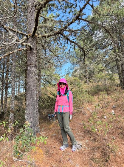
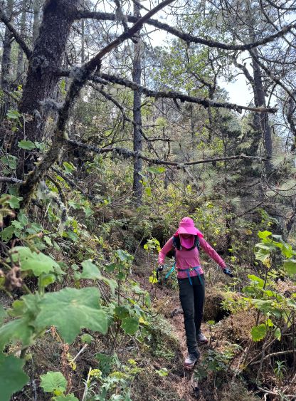
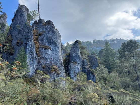
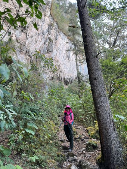
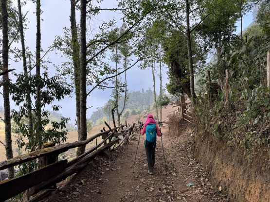
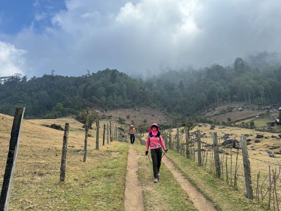
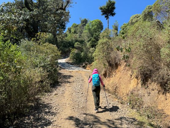
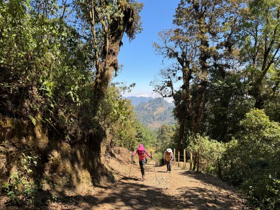
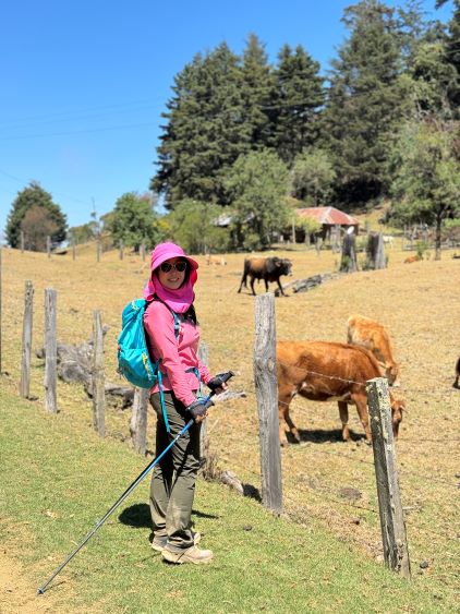
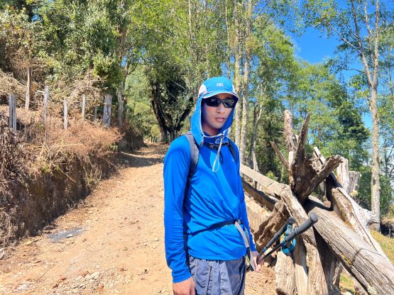
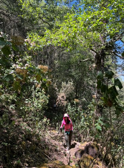
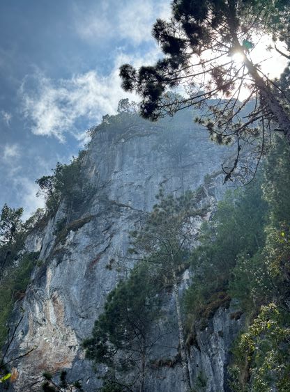
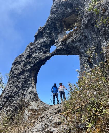
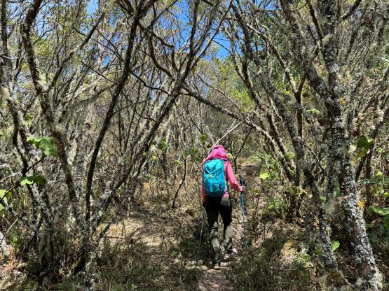
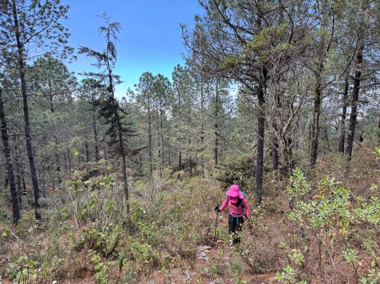
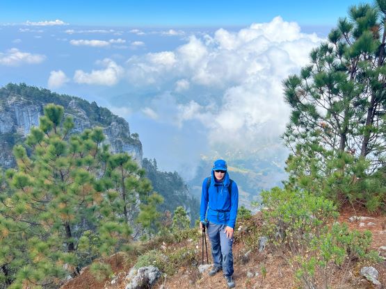
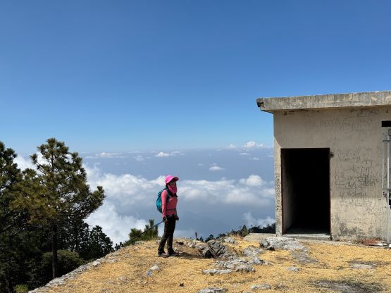
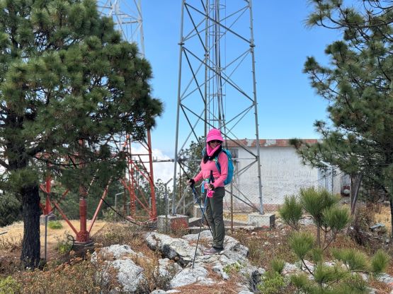
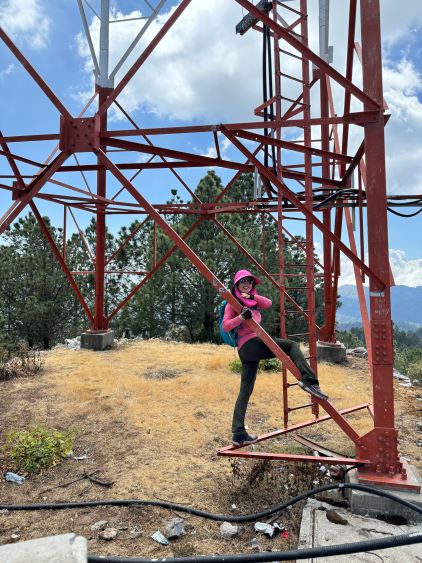
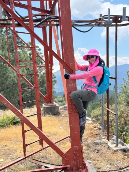
The ascent was not as no-brainer as I thought, but was definitely “nothing” compared to the driving adventure that we just did. The first third of the way was to plod up the uber steep road to a village at 2850 m elevation. There are multiple ways to go through this village and we took a different way than our reference GPX tracks recorded by Rob Woodall and Greg Slayden. Firmin helped us to push through two gates and it was obvious that we walked through some farm lands. On the return we followed Greg’s GPX which was also slightly shorter. We found the trail leaving the road at just under 3050 m elevation and Firmin confirmed the correctness of this trail. Firmin had been working very hard to keep up with us, even though I was only using at most 50% of my normal speed. I made sure to hike as slow as possible to give ourselves more time to acclimatize, and I was definitely not anticipating our guide to not be able to keep up with this pace. I was actually slightly worried about the guide being “too fast” as the guide lives at 1900 m elevation and certainly would not need to do any acclimatization for these peaks. I thought about to take off ahead, but the weather was not a problem, and the longer we spent at the higher elevation the better acclimatization we would get, so I gave in. Kate and I eventually did take off and made the summit about 20 minutes earlier. We used that time to explore the true summit which was actually behind a communication tower. The guide did eventually show up but of course did not go to the highest point. I don’t know if he, or his other clients had ever been to the true summit.
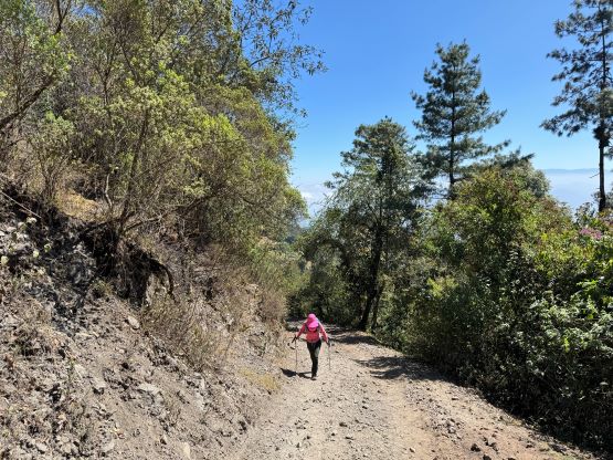

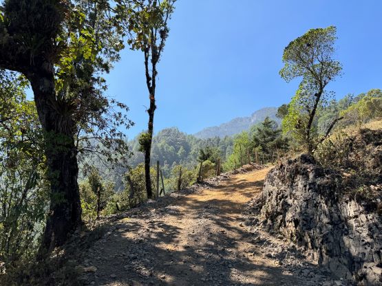
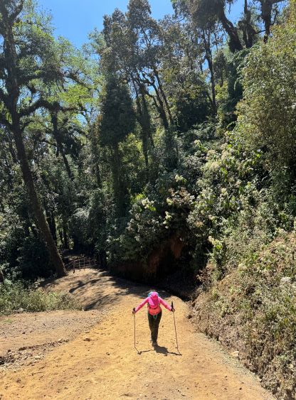
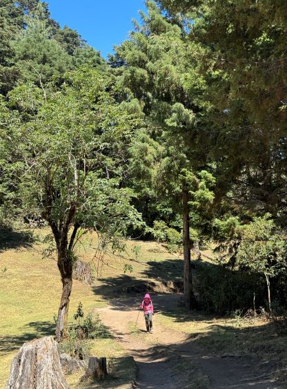


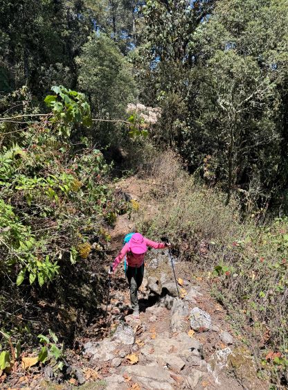
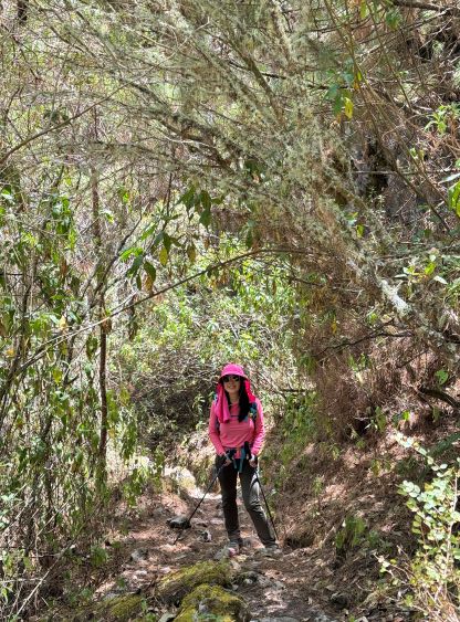

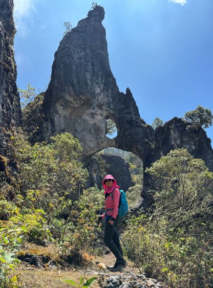

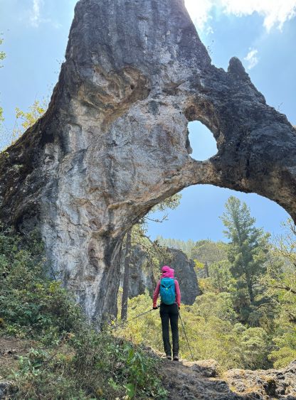


Firmin was actually decently fast on the descent so I made him to go ahead so I no longer needed to do any route-finding. Firmin directed us using a different, but better trail down from the summit. On the ascent I also noticed that trail but it was deviating from Rob and Greg’s GPX tracks so I made us backtrack to blindly follow their tracks. This resulted in some light bushwhacking. Firmin’s way (our descent) was much better. The rest of the way down was simple and our round trip time was under 5.5 hours. Oswaldo had been patiently waiting and we drove the steeper but paved variation down to La Libertad. I then slept for at least an hour, maybe two hours on the way back to Huehuetenango.