Whitehorse Mountain
May 7, 2017
2085m
Darrington, WA
Rising a shear 1800 vertical meters above the little town of Darrington in the west slopes of the North/Central Cascades the glaciated massif of Whitehorse Mountain attracts everyone who lives, or travels in its vicinity. The unique topographic profile is extremely recognizable from pretty much anywhere in the west slopes and the Puget Sound lowlands. From mountaineering perspective this is not an easy peak to ascend. While this is not an outrageous ascent in the “right conditions” (Alpine II mountaineering) but to time it in the “right conditions” can be actually trickier than the climb itself. The standard route via Lone Tree Pass is exposed to huge avalanche terrain on all aspects over long period of time so going “too early” means you want to be 120% confident on the stability. That kind of days do happen in each winter but is very rare. Going “too late” which is roughly after mid-May usually means the moat just below the summit block being completely open making it a very technically demanding endeavour.
Making an ascent of Whitehorse Mountain had always been there on my radar but before going into the details I’d need a day when all aspects of this climb line up nicely. The spring came very late this year but this recent warm spell has just resettled the snowpack. This warm spell was immediately followed by a cold front and the freezing level dipped down. Saturday night was forecasted to be cold and clear and Sunday was supposed to have fair weather. After convincing myself this would be the best window of the year I was dead set on Whitehorse Mountain with no flexibility whatsoever. The last things I had to sort out was the gears and in the end I decided to carry two axes but no rope/harness or picket. I knew the final climb could be as steep as 60 degrees but figured if I could down-climb Mt. Fee North Tower without a rope then why couldn’t I handle this (much shorter) climb.
I’m not really a morning person so as usual I’d drive out in the previous evening and car-camp at the trail-head. This would allow me to catch at least 2 extra hours of sleep, so why not.. The long Saturday work day meant I didn’t manage to leave home until 11 pm and that further meant I didn’t get to Darrington until 1 am.. This was my first time driving on SR 530 and the “parking lot” was located with the assist of my GPS unit. The old logging road was deactivated and I had to park just in front of a blocked bridge over Moose Creek.

Whitehorse Mountain ascent route. GPX DL
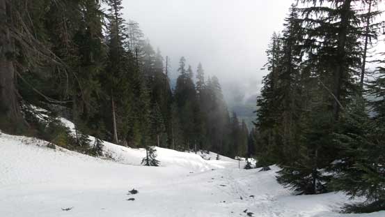
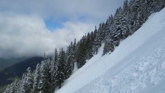
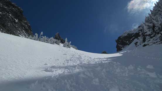
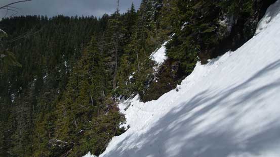
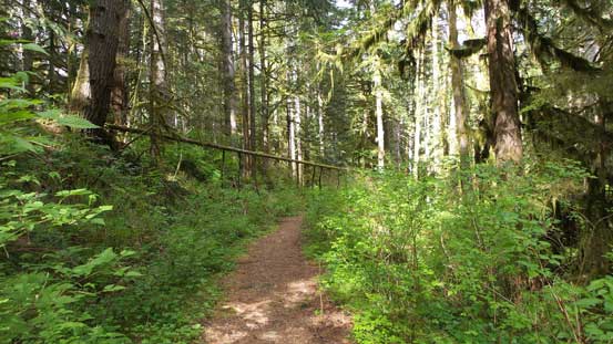
The next morning did not see me starting the ascent until 5:50 am, about an hour later than my planned time. The reason was simple as my alarm failed.. The first mile or so was following this deactivated logging road which was more like a trail at sections, and about 10 minutes after passing Furland Creek I correctly located the Niederprum Trail heading up the hill. This trail was quite well designed with lots of swithbacks so the grade never felt too steep, although there were some annoying dead-falls. At elevation of 600 m or so the trail starts to make a long traverse due south and after crossing a major slide path (chocked with alders, but trail nicely cut) I started to encounter some patchy snow. The next stage was very confusing as I lost the trail but by maintaining the general bearing I came across a set of boot tracks heading into an avalanche chute.
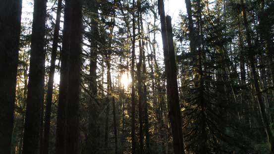
Morning sun beam through the Pacific NW rainforest.
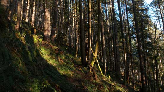
Hiking up Niederprum Trail

The trail crosses a huge slide path.
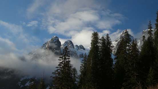
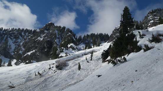
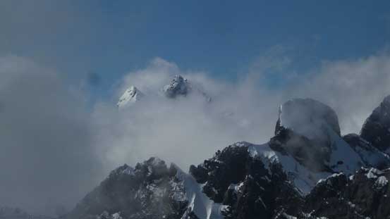
Glimpses of Whitehorse Mountain
After crossing this slide path, looking back.

Hitting snow. This section was confusing.
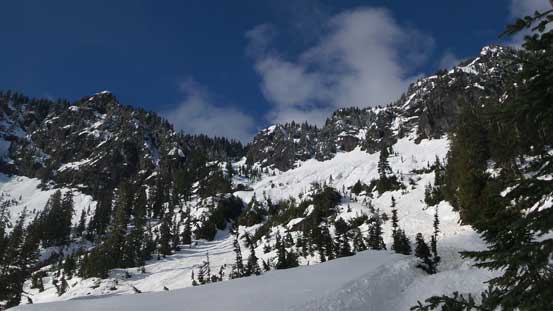
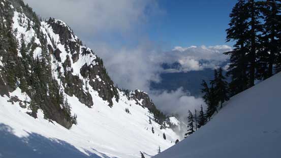
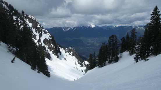
It was no-brainer to just follow their tracks and after a while I had the feel that these guys did know where they were heading for. After this first section of the avalanche chute the route continued up over a steeper rise on climber’s right side before making a long horizontal traverse due climber’s left into the main avalanche bowl. This entire stage was done on the previous party’s tracks hence there’s no route-finding nor any post-holing and elevation was gained very rapidly. Before realizing I was already on the final stretch heading for Lone Tree Pass where the route took a shallow left turn into a confined valley/depression zone. The slog up to Lone Tree Pass was very foreshortening though and by now I had just knocked off 1500 m elevation gain, in a mere 2 hours 50 minutes.

Merging into this avalanche path / depression zone.
Partway up this initial path. Looking back.
The distant Lone Tree Pass left of center.
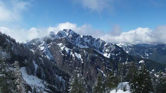
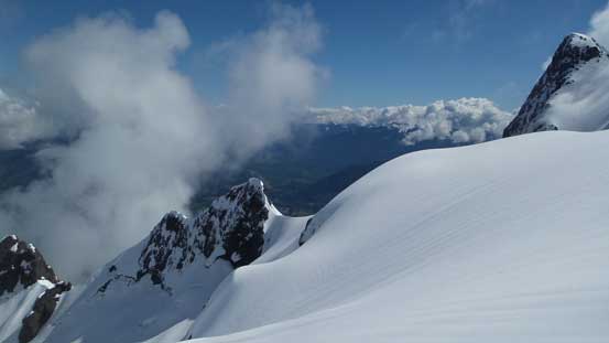
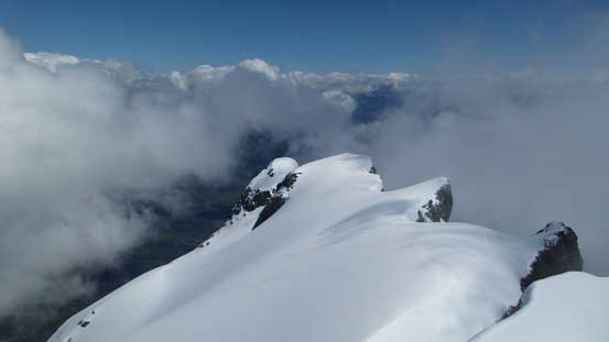
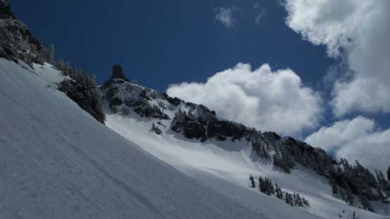
A view of the upper reach of this mountain. Looking big…
The terrain is huge even below this first pass.
Merging into the “avalanche bowl”.
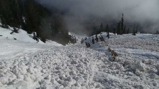
Avi debris field…
Ahead is Lone Tree Pass. The view is foreshortening.
Is this tree the “lone tree”?
From Lone Tree Pass, looking back.
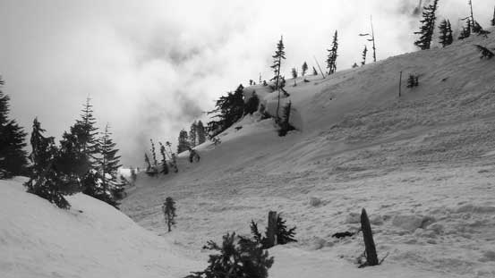
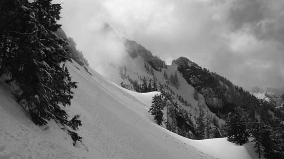
After seeing their tracks continuing beyond the pass I abandoned the idea of taking a break and resumed on without giving any pause. After a couple minor up-and-downs the tracks started descending into some steep forested terrain and it was here that I did the first gear transition taking the ice axe and crampons out. There was one very steep stretch that I had to traverse while facing inwards but the upside was the reduced elevation loss/regain. And then it seemed like a gradual plod for quite a while before the route traverses another steep stretch towards the open slopes below High Pass. This open slope traverse was exposed and very long and not to my surprise, the other party’s tracks stopped about 2/3 of the way across and then I was on my own. The snow was still very firm (hence no trail-breaking), but the plod up to High Pass was very much never-ending.
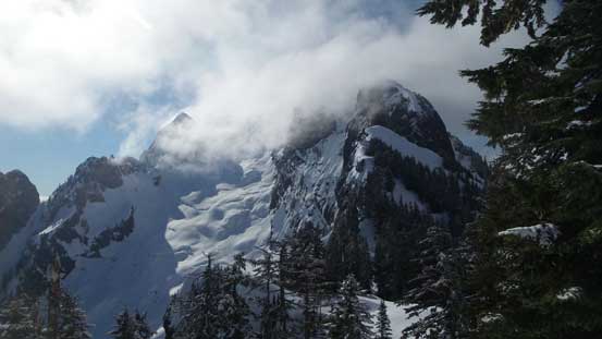
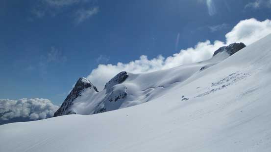
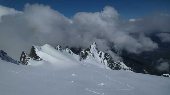
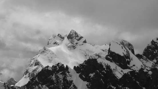
The first full-on view of the upper mountain.
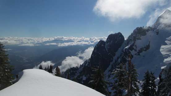
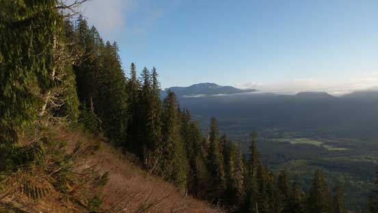
Looking sideways across into the Darrington and Skagit Valley

One of the many steeper traverses.
Traversing onto the large slope below High Pass
The tip of Three Fingers
Mt. Bullon to the south looks very impressive.
The first half of the long traverse towards High Pass.
Fast forward. Almost at High Pass now.

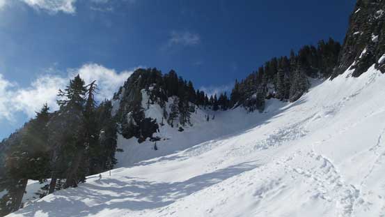
Looking down from High Pass. Note the clouds…
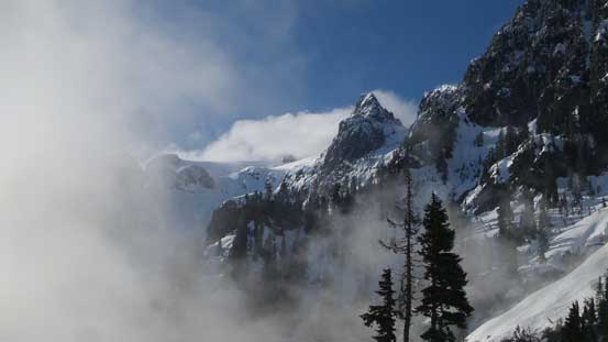
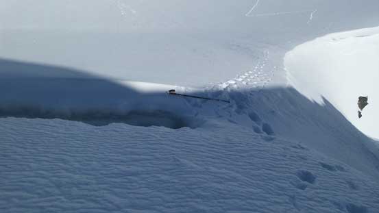
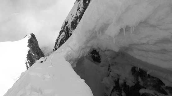
The other side of High Pass would be the upper reach of So-Bahli-Ahli Glacier and the first sight when cresting the pass was very inspiring and motivating. The glacier was still very filled in and the crossing was without much of an issue with some easy route-finding. There were a few steeper rises and the footings were a little loose given the side-hill angle on the layer of fresh snow, but soon enough the glacier was over and I was staring at the final summit block. The moat appeared to be wide and open except for a the far climber’s left side, but upon close inspection the piece of snow bridging the gap was pretty thin and questionable. Thankfully the moat isn’t deep at all so had I fall in I should be able to easily climb out on the near side.
The view coming out of High Pass.
So-Bahli-Ahli Glacier and the summit of Whitehorse Mtn. behind.

Partway across So-Bahli-Ahli Glacier, looking back.
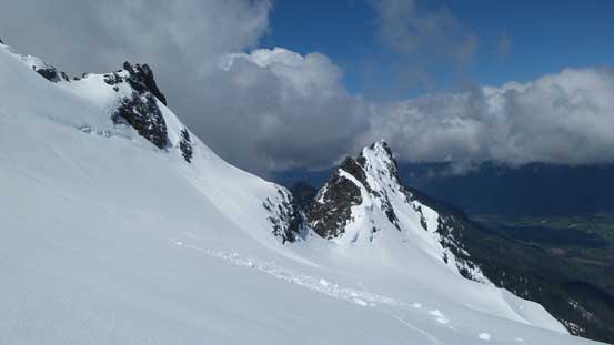
Those spires are getting smaller and smaller. Still crossing So-Bahli-Ahli Glacier.
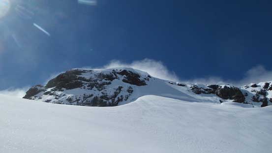
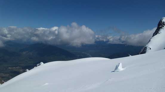
The final climb ahead.
Another view looking down at these spires.

The moat was wide open all the way across.
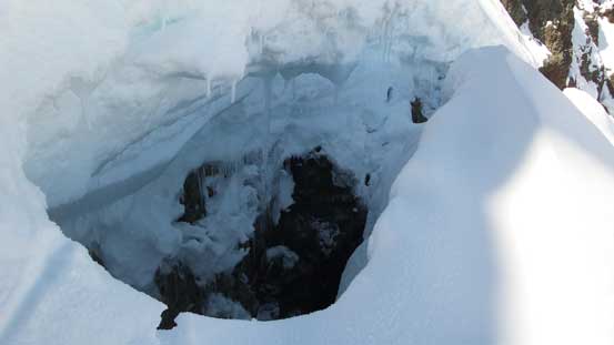
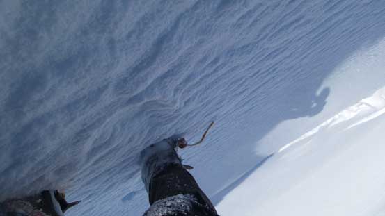
This is what’s inside of this moat…
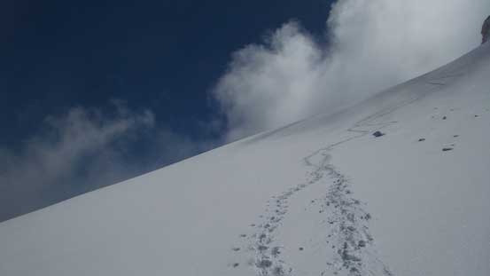
The decision was then made to push on but first of all I’d swap my hiking pole for the ice tool. The crossing was mentally taxing and I made some very slow movements just to reduce the sudden impact on the bridge. It held nicely and shortly after I was kicking step up the increasingly steep face on good snow. The slope angle would average 50-55 degrees with the last few meters being a little bit steeper, but like I mentioned above the snow quality was good and I could get some solid purchases on the axes, so the problem was fairly easily solved. The only downside was the clouds rolling in obscuring my views, but this is not a mountain I could count on everything. I did get good views looking down on the glaciers and that’s more than enough to make me happy.
Just above the snowbridge crossing the moat.
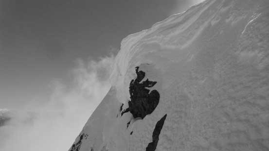
Almost there, looking sideways to show the slope angle…

The steep snow climb above the ‘shrund.
Good step-kicking though.

Another sideways view. This is towards west.
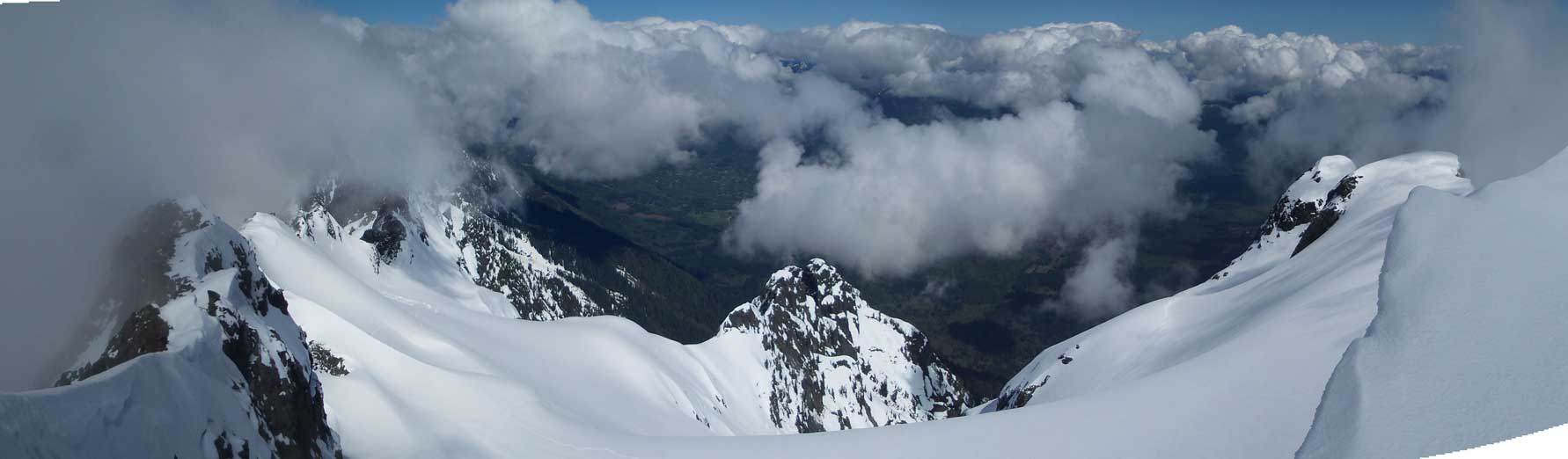
Partial Summit Panorama from Whitehorse Mountain. Click to view large size.
Looking down at my tracks on So-Bahli-Ahli Glacier
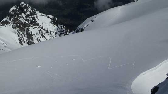
Looking down this summit block to show the moat wide and open.
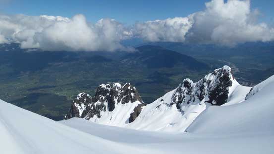
The eastern outliers on the massif. Clouds obscured farther views.

Me on the summit of Whitehorse Mountain
There’s not much point to linger on the summit so after snapping some photos I had to focus on getting off this mountain. Getting into the down-climb was awkward and strenuous but I should blame myself then as I didn’t kick smaller steps on the way up. Once the slope angle eased a little bit the rest of the down-climb was a fluent process, although re-crossing that moat was just as sketchy. I grabbed my ditched pole and walked back down to the flats of So-Bahli-Ahli Glacier where I grabbed the ditched snowshoes. Why did I haul the 30′ snowshoes all the way up and down but not using them?? I guess I needed more exercise… Oh well.
Time to go down…
Back across the moat bridge. It was a tad sketchy…

A look into the moat..

Ahead is the glacial plod.
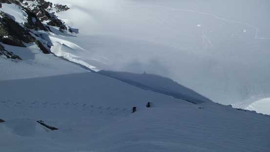
Easily descending So-Bahli-Ahli Glacier
Aiming at the distant High Pass which is that low saddle at center shot.

Getting closer and closer.
Can’t get rid of these glacier views.
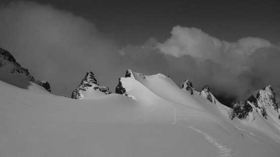
There are a ton of spires on this massif.
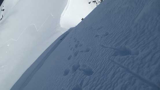
Down from High Pass another problem showed up as the layer of fresh snow started to ball underneath my crampons. I almost made a couple slips right off the bat but thankfully I reacted fast. The solution was then to descend facing inwards in a “plunging” mode as opposed to the careful down-climbing. This worked perfectly as snow generally does not ball up under the front side of the crampons. Once I joined the previous party’s tracks this balling thing was no longer an issue anymore. There’s no post-holing neither as the tracks were beyond massive. Up and over a few bumps and across a few steeps it didn’t take me long to make back to Lone Tree Pass.

Partway down from High Pass, looking back.
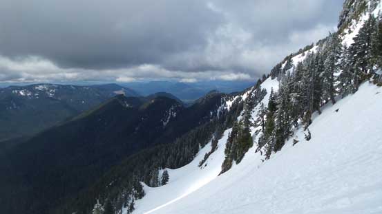
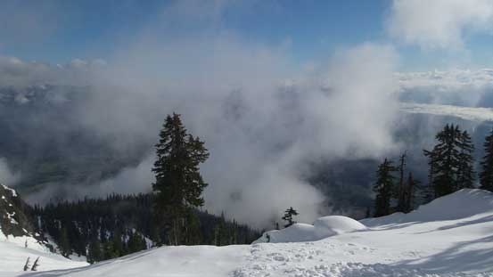
Still on the way down from High Pass. The clouds finally started to lift.

A look towards Mt. Bullon
Looking back towards the big slope below High Pass.
Three Fingers to the south
One of the steeper stretches of the long traverse.
Back to Lone Tree Pass now.
Down from Lone Tree Pass I decided to not follow their messed-up tracks and instead, would do my own post-holing/plunging. This was tiring, but at least fast. I should have taken the crampons off too but I was too lazy to do that, so kept plunging. Down, down, down until I joined the dry trail where I finally took a break taking the crampons off. And then 5 minutes later the patchy snow was also over and I took the gaitor off which was the last stop for the day. The rest of the trailed descent back to my truck was uneventful but boring.

Descending from Lone Tree Pass

North Fork of Stillaguamish River valley. Darrington on right

Descending snow covered forest also requires great care…
Fast forward again. Back to the road plod now.
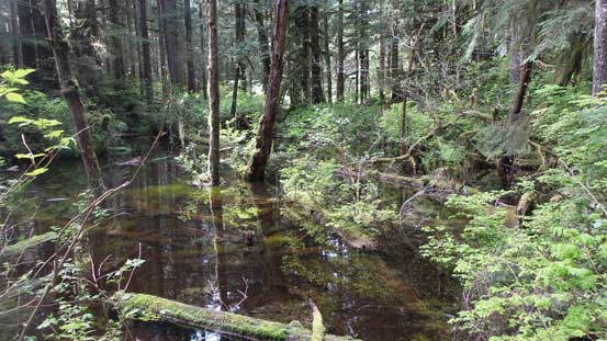
Lots of swampy and marshy area.
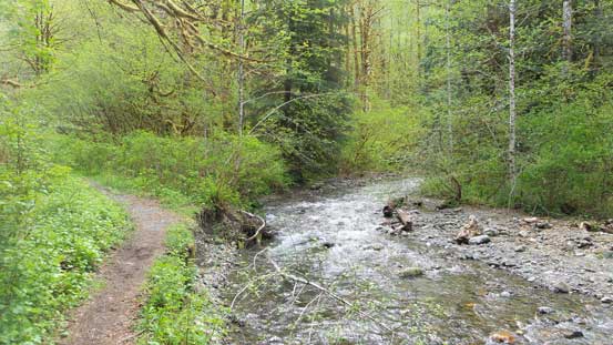
Back to Moose Creek. Done.
My round trip time was under 9.5 hours on a fairly steady pace which was a tad bit faster than expected. The previous party’s tracks eliminated route-finding and saved me from a lot of post-holing and then the deep overnight freeze also saved me from a lot of post-holing. I did not have to wonder about the route and pretty sure I stayed on the most efficient line throughout the climb. And then I also solo’d the final summit block on both ascent and descent which is much faster than managing ropes. The only part that I could have done better was to leave the snowshoes in car but that’s too much of a risk at this time of a year. All in all I’d say timing is everything for Whitehorse Mountain and after the ascent I can see why most people couldn’t get this one in one try.
