Signal Mountain
February 19, 2012
2311m
Jasper – Skyline Trail, AB
This was the third day of my Jasper peak-begging trip. I got Roche Miette and Morro Peak on the previous two days. Morgan was still low on energy so he decided to rest on this day. But he was interested in doing some mini ice climbing in Maligne Canyon. I figured that I should do Signal Mountain near the north end of Skyline Trail. The parking lot was also very close to Maligne Canyon so he could go there and check things out. Despite the fact this is a mere bump, Signal Mountain is still a long hike, albeit with the first 9 km on a very well maintained trail.
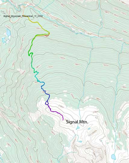
Signal Mountain hiking/snowshoeing ascent route. GPX DL
Apart from long, there’s no view from the initial 9 km trudge until near treeline, so needless to say, it was extremely boring. For skiers, Signal Lookout is probably the most popular destination in this area in winter. But for me, a peak-bagger, I wouldn’t satisfy if only making to the Lookout. To get to the mountain, I didn’t actually need to visit the lookout, instead at the treeline, I took a straight beeline towards the summit. The ground was blown bare once above treeline and it’s a mere “easy off-trail hike” to the first highpoint. There’s a big cairn, but I still can see higher points further down the ridge, and according to Gem Trek’s map, the summit lies further south, so I went traversing the entire thing to make sure I summitted the mountain.
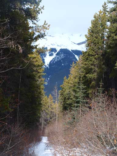
The typical view from the trail.

Near Signal Lookout.
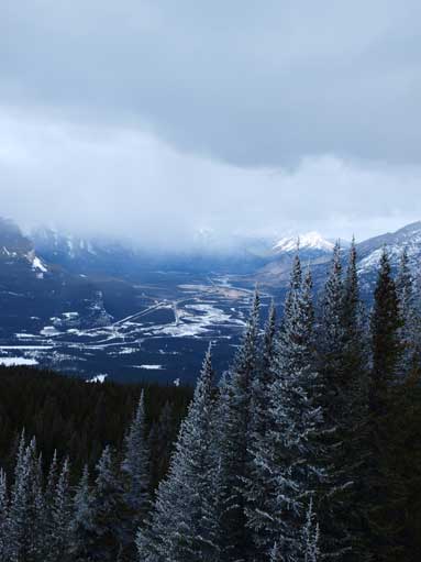
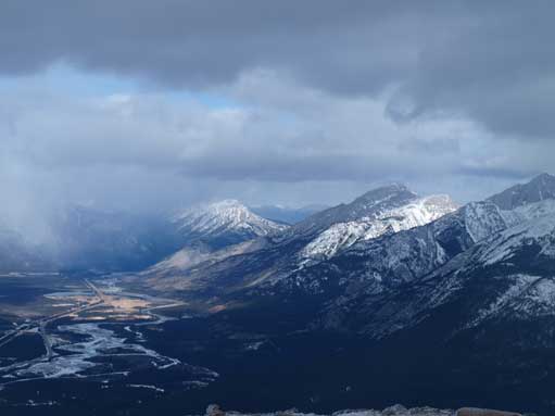
Now I could look down to Athabasca River
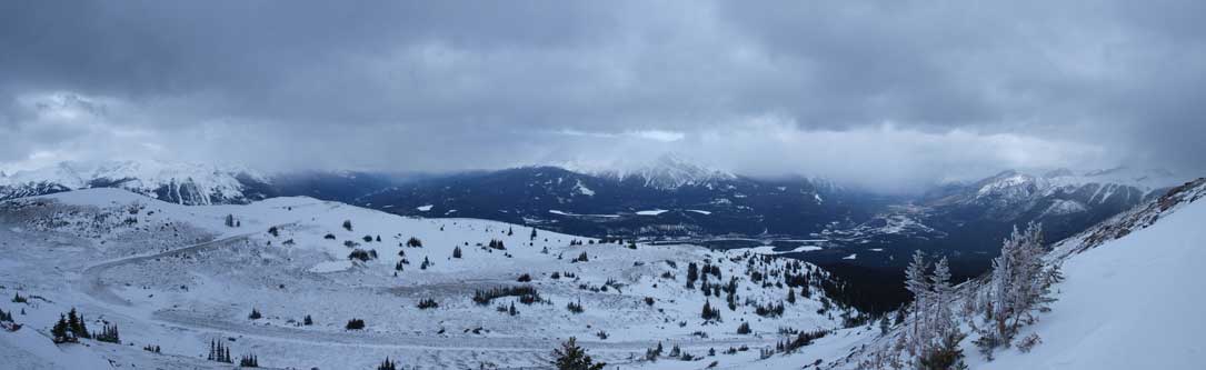
A panorama from just above treeline. Note the Signal fire road.

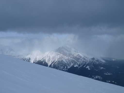
The typical view towards Signal Mountain. It’s more of a bump on the north shoulder of Mount Tekarra.
The only time when Pyramid Mountain briefly showed up.
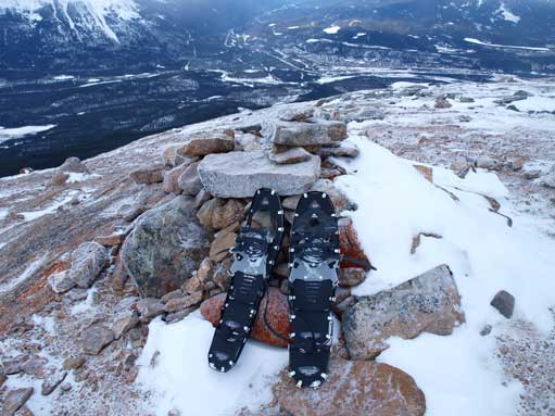
The summit cairn. But then I saw there are higher points further south.
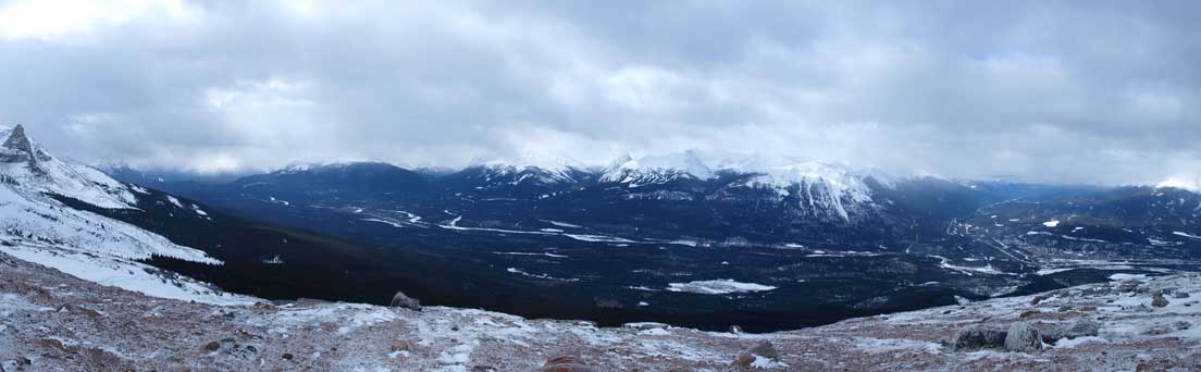
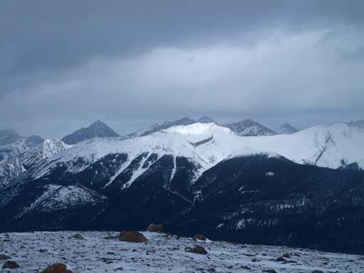
A panorama of the Athabasca Valley. This time, towards Icefield Parkway side.

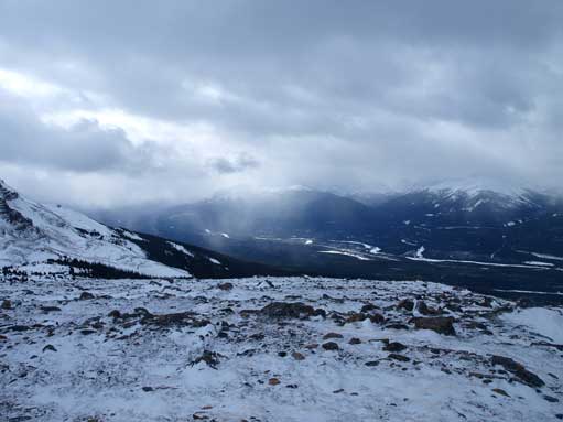
And this will be down towards Highway 16 side.
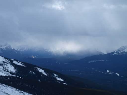
Zooming-in up Icefield Parkway. The weather would be even worse.
Hawk Mountain. I would do it the next day.
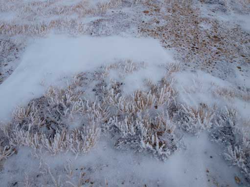
Interesting vegetation.

An interesting erratic? On the ridge
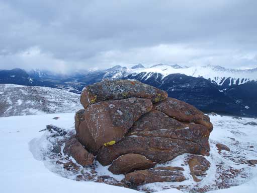
Another big boulder
Athabasca River again. The clouds are making things neat

Finally on the true summit, looking towards Tekarra.
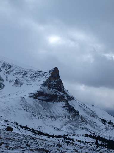
An impressive outlier of Tekarra
Roche Bonhomme, aka. Old Man Mountain
The weather was not cooperating at all. It was cloudy most of the day, so despite the relatively isolated location, I could only see the very nearby summits like Mt. Tekarra. I would like to scramble up that thing in the following summer. (For those of you being curious, I did get Tekarra in October, 2012). Mt. Edith Cavell never showed up, nor did Mt. Robson. But I did get great view towards Morro Peak and Hawk Mountain, which I ascended the day before and after, respectively. The round trip distance was somewhere about 21-23 km, and I’m not quite sure the exact. Elevation gain was about 1100 m or so, and my round trip time was 6.5 hours.
Once I got back, Morgan and I went down to Maligne Canyon. There were quite a lot ice climbers. The ice waterfalls are so impressive and I’d never seen such a giant ice tube before. We practised some rope work on gentle ice, but my crampons didn’t work quite well. We barely made back to car before the last bit of light was gone. We got lots of cool photos, and here are some.
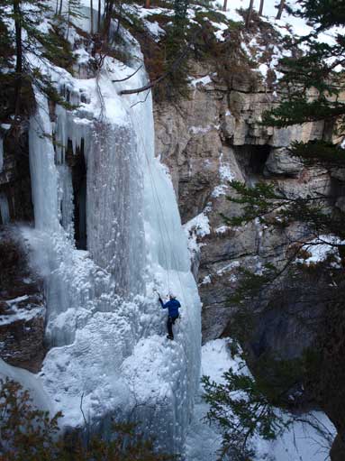
Crazy ice climbers!!

Me checking an interesting ice formation
We drove back to Jasper to sleep in my car again. And next day…

[…] the fire road is open to multiuse. Turning left would have taken us to the Signal Mountain Outlook (stevensong.com), though we didn’t know exactly what was out that way at the time. So we turned right and […]