Mount Artaban
June 11, 2022
615m
Gambier Island, BC
Mt. Artaban is a lone, isolated forested ridge on the far south-eastern corner of Gambier Island and because of its obscured location this peak is not facilitated by the regular BC Ferries schedule. One has to book some kinds of private water taxi starting from Horseshoe Bay and there are quite a few companies to choose from. Thank to Bagger Challenge the peaks on Gambier Island had gained a lot of attention in the recent years to the point that an ascent of Mt. Artaban is no longer a rare thing even on the social media. My plan is to bag both Mt. Artaban and “Burt’s Bluff” in one trip to finish off this island but finding partner(s) to share the private water taxi had always been the trickiest part.
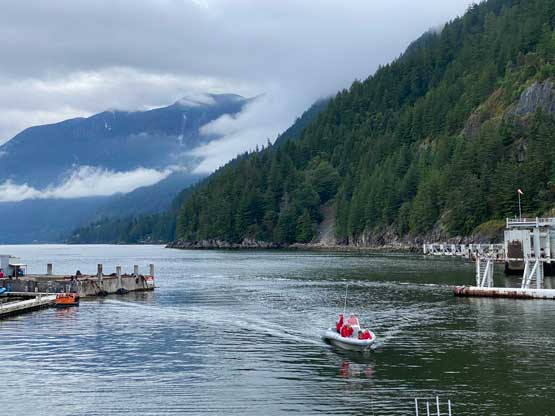
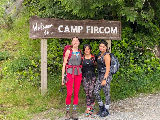
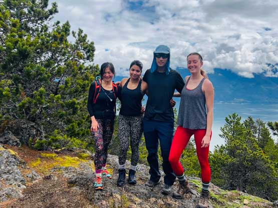
As the weekend approaching I decided to stay in lower elevation on Saturday to have the maximum chance of seeing some views. The weather forecast was calling for rain but also “5 h of sunshine”. I thought these two peaks would make the perfect sense. Ni Jin signed up my invite even though she had just hiked these two peaks literally a month earlier. Ni managed to find two more partners, Preeti and Caitlin and the four of us agreed to meet at Horseshoe Bay at 8:15 am. Ni had done all the logistics research so all I needed was to follow her instruction. First of all the water taxi needed to be booked online so I did that in the previous day. We all booked our tickets individually. Ni also instructed me to park at some free parking lots in Horseshoe Bay even though I wasn’t very keen as that added about 1 km of extra walking distance each way. To me paying 20 dollars isn’t much of a deal so I’d much rather just park at the ferry terminal, but in the end it didn’t really matter. The water taxi’s pick-up is also not the same as the BC Ferries but thankfully Ni knew where exactly we needed to show up. The boat took us to Sunset Marina in Lions Bay first before crossing Howe Sound towards Camp Fircom at the base of Mt. Artaban.

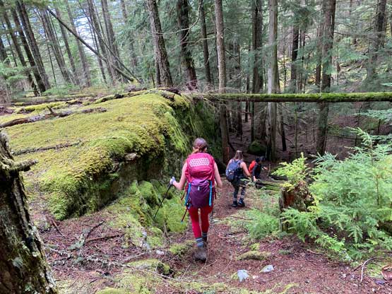
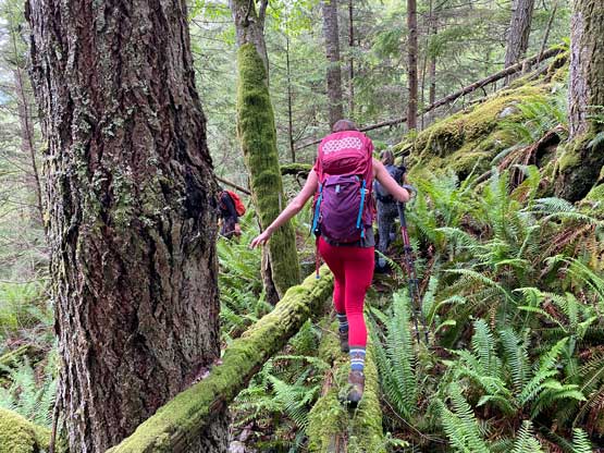
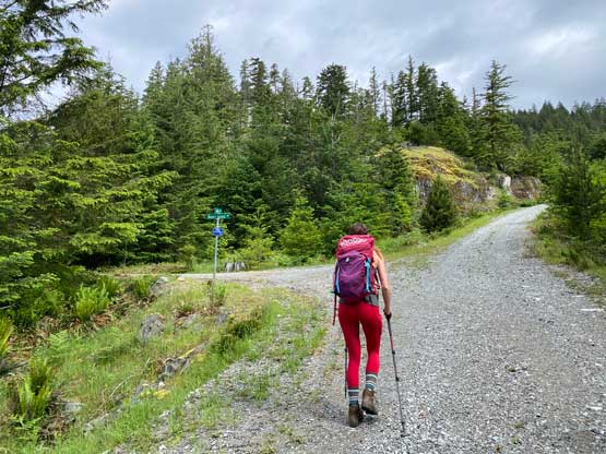
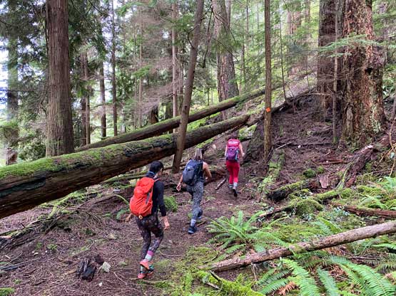
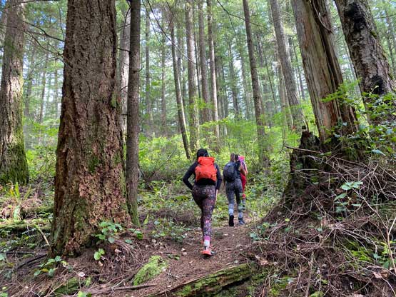
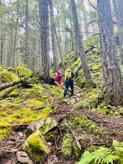
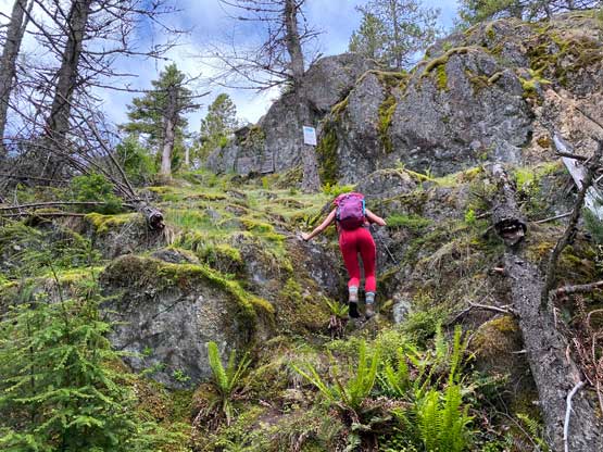
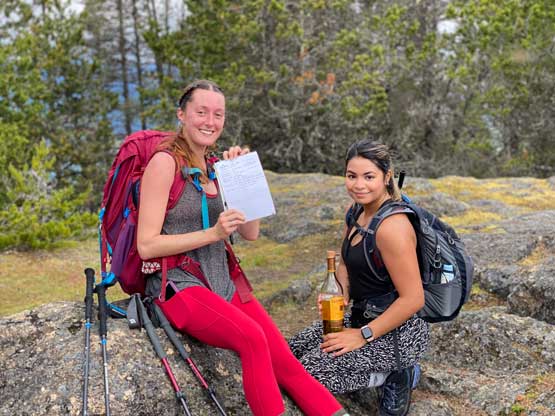
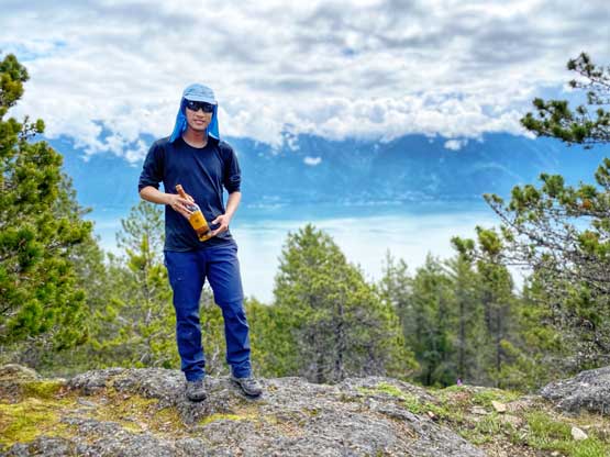
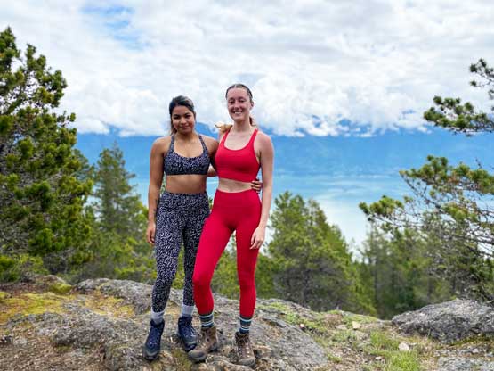
The area around Camp Artaban is mostly occupied by private properties but they had put up signs at every single intersection to direct hikers to the correct trail-head. We had to walk at least 2 km on logging roads with substantial amount of elevation gain. The trail that leads to the summit was easy to follow but a few stretches were very wet and muddy. The summit actually offered some views to the west and Ni helped us to find the whiskey bottle. I was expecting a fully forested summit so the view was a pleasant surprise. We stayed on the summit for almost an hour but in retrospect we probably shouldn’t linger that long given the time constraint with the ferries.


The trail down the north ridge of Mt. Artaban wasn’t as nice with sections being really slippery and a bit overgrown, but it was still easy to follow. It took us a while to descend to the logging roads at basically sea level. Most “baggers” would descend all the way to the ocean for a “water bag” of the next peak, but we didn’t bother. Instead we directed our attention straight to Burt’s Bluff.