Saddlebag Peak (Seton E2)
October 18, 2015
2814m
Downton Creek / Duffey Lake Road, BC
Formally known as Seton E2, this is the second highest peak in the entire Cayoosh Range north of the Duffey Lake Road. The name of “Saddlebag Peak” is obtained from bivouac.com and likely due to its proximity to the nearby Saddlebag Lakes. I ascended it as part of a multi-peak traverse from Mt. Seton all the way to Modal Peak. Earlier in the day I’ve already ascended Mt. Seton and now I had to look for a way traversing to Saddlebag Peak.
Mt. Seton, Saddlebag Peak, Modal Peak traverse. GPX DL
There’s not much information I could find about the Seton – Saddlebag traverse, nor Modal Peak for that matter so I had to do my own work. The only beta I found was some internet pictures showing that the ridge could get pretty jagged.. Would it go? I had no idea… In short time I started to encounter scrambling steps here and there, and then it’s those broken towers. The rocks were horribly loose for the Coast Mountains standard and on top of that, light drizzle made those moss covered rocks extremely slippery… Places that I normally would prefer scrambling up and over I had no choice but to go down and around traversing between some loose gullies with constant up-and-downs. The GPS showed my progress being painfully slow but at least I was moving forward… Eventually it seemed like I’d made to the lowest point between the two peaks, but up the other side I still had a few sections of tricky scrambling to overcome before eventually clearing this jagged ridge. The weather was still hopeless but on the other hand I did not encounter anything trickier than Class 3 nor did I have to do lengthy detours.
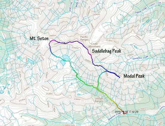
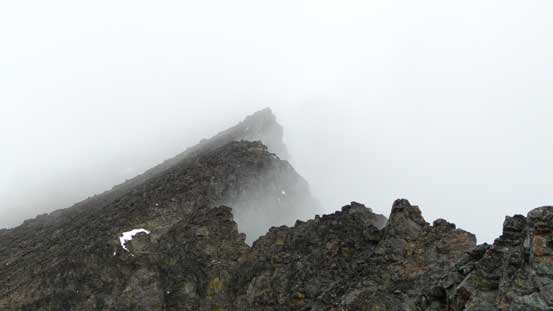
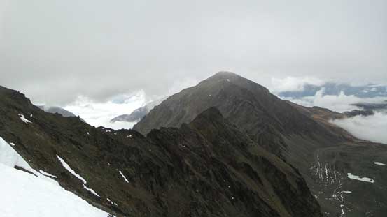
This picture sets the tone…

Traversing/ascending/descending gullies like this was the key
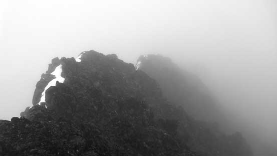
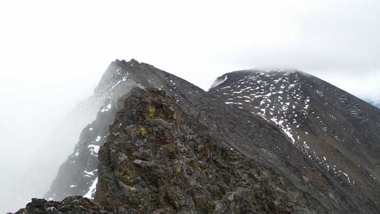
Weather was clearing up briefly, only to review more jagged terrain ahead

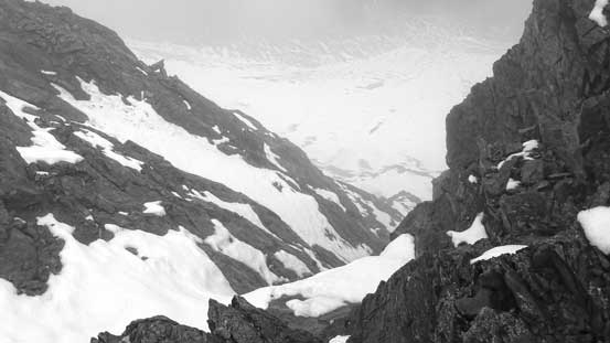
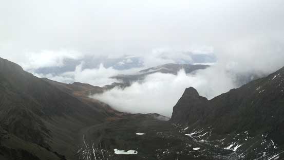
A brief view of Saddlebag Lakes down low
Sections like this you just have to find a way around, either dry or wet…
At the Seton/Saddlebag col now
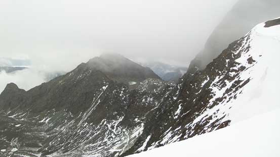
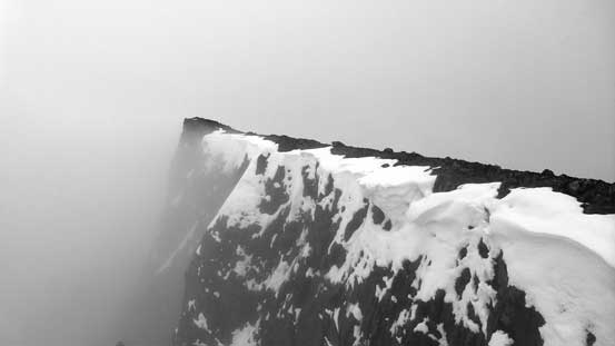
The NE side was a shear drop off.. You don’t want to take a ride down that way…
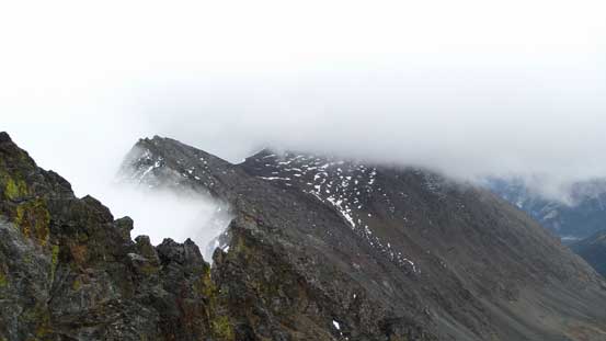
The other side wasn’t easy neither

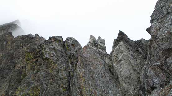
Broken towers traverse
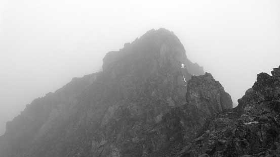
It’s not over yet….
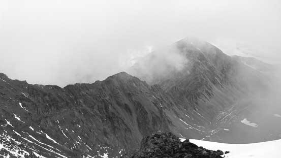
There’s one bump to go up and over before Saddlebag Peak. In the white-out I couldn’t tell much but my GPS was showing that. Indeed, in short time I was going downwards along the ridge/plateau. I took a break at the bump/Saddlebag col where weather cleared up briefly. I could see Ostinato Peak and part of the Seton Ridge but soon enough the weather closed in again. Ascending Saddlebag Peak was a slog, and unfortunately I didn’t get any view from its summit neither…
Another brief weather window allowed me to look at Ostinato Peak
I think that peak is Seton E3

The typical slog on Saddlebag Peak (Seton E2)
Not sure if that tower has a name..
One last look at Ostinato Peak before entering the clouds again

Higher up on Saddlebag Peak
The final summit ridge
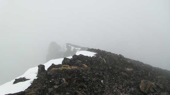
“Great” views from the summit of Saddlebag Peak (Seton E2)
The wind was picking up now and it was starting to get cold. I soon moved forward along the ridge towards Modal Peak. There’s about 400 meters of elevation loss from Saddlebag to Saddlebag/Modal col and I had to once again, navigate in the white-out by GPS making sure I stayed on the correct ridge. Thankfully my perseverance finally paid off that the weather finally started to clear up a bit and I could see most of my route ahead on Modal Peak.
