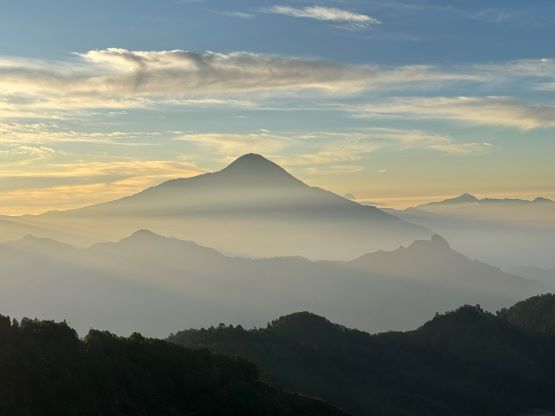
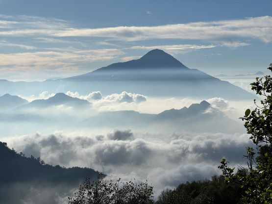
Volcán Tacaná
March 14, 2024
4096m
Sibinal, Guatemala/Mexico
Volcán Tacaná is the second highest peak in Guatemala and itself straddles the border between Mexico and Guatemala. The are routes on either side of the border but the simplest way is from the small town of Sibinal on the Guatemala side and there had been a few useful trip reports on peakbagger.com. The area is very remote as to get to Sibinal one has to drive a few hundred meters down from a 3100-m pass, and the town locates on the west side of the divide and is often engulfed in the clouds. To get to the actual trail-head one needs a 4×4 vehicle as the roads above Sibinal are steep and rough. Volcán Tacaná boasts over 1000 m prominence so despite the difficulties in getting there I had to put it on the agenda, and this turned out to be the 3rd objective that Kate and I bagged in this trip. The ascent is rather no-brainer compared to the logistics, but the higher altitude does require one to be decently acclimatized.
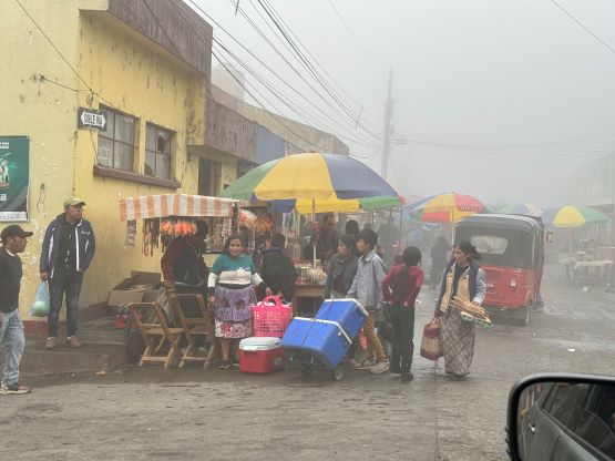
Kate and I, together with our driver Oswaldo spent the majority of the previous afternoon driving from Huehuetenango to Sibinal. The roads are extremely windy with lots of up-and-downs, and similar to what I had observed in Rwanda the roads traverse along the ridgelines rather than staying in the valley floor. Oswaldo took a different way than what I had been thinking, and it worked out nicely. In just over 4 hours we made to the town of Sibinal and checked in at our hotel (Estrella Dorada). The cost was 100 GTQ per person and our driver would stay with us in the same hotel but in a different room. I was anticipating some rural experience but to my surprise, the town had some strong cell receptions, and the hotel was equipped with free wifi and hot shower. There’s however no food services so the three of us went out to have dinner in a local restaurant. I again, on purposely ordered “too much” food because the leftover could serve as some (cold) breakfast in the morning, and this worked out as planned. After hearing our plans the others (presumedly locals) in that restaurant strongly recommended us to hire a guide but I refused. The ascent would be no harder than “class 1”, and a guide is not required on most of the peaks here except for Volcán Pacaya (I think). The only way for me to give in is legal requirements (with strong enforcements), and in area with pesky locals with high social risks. Guatemala isn’t a “safe” country by North American standard, but I don’t think it’s that unsafe to walk around. In fact, during the entire ascent and descent of this particular objective we encountered nobody.

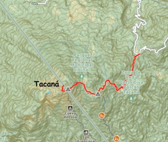
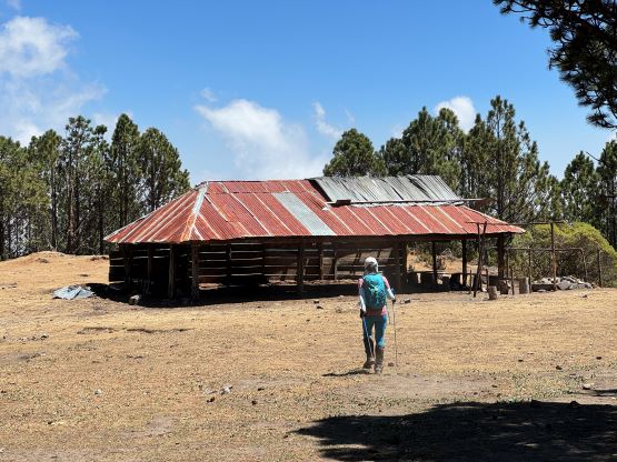
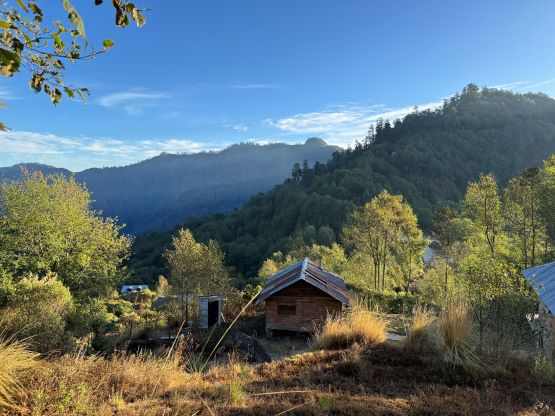
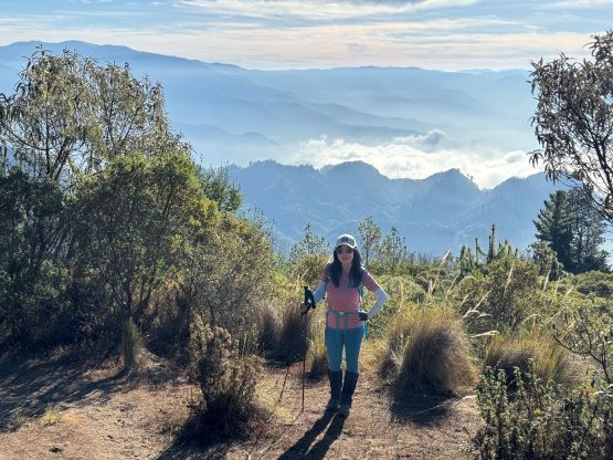
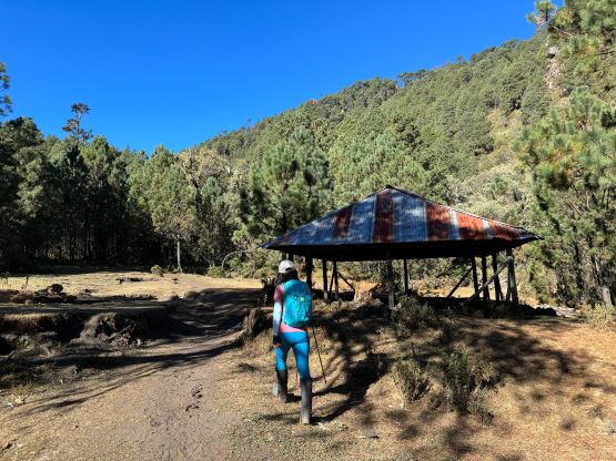
We left the hotel at 6 am again, and this time the drive to the trail-head would take no more than 30 minutes. Oswaldo followed Google’s direction by taking a steep and rough short-cut that was only labelled as a “trail” on my Gaia map. I pointed out my concern but he seemed to be rather confident. On the return we took my proposed long way and I have to admit that Oswaldo picked the better option. The long way was much longer but not a lot better in terms of quality, but the short way did require Oswaldo to switch to 4×4 mode. The vehicle experienced more overheating problems (not surprised) but by this point we had already figured out a solution by simply pouring water into the engine. There’s one neat viewpoint along the way and we stopped to take some pictures of the sunrise. The actual trail-head located next to some houses and the temperature wasn’t nearly as cold as I was thinking. The elevation here was just under 3100 m so we only had about 1000 m to gain.

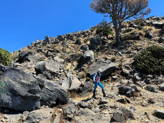
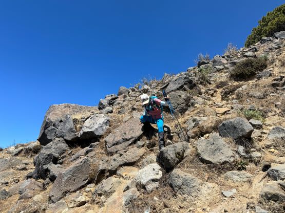
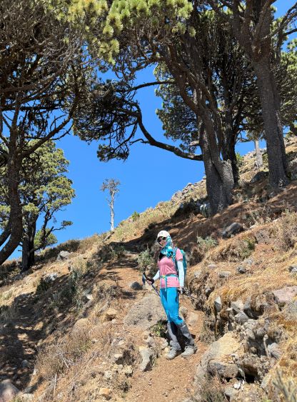
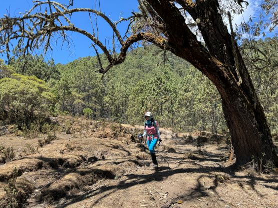
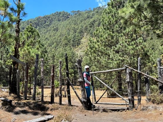
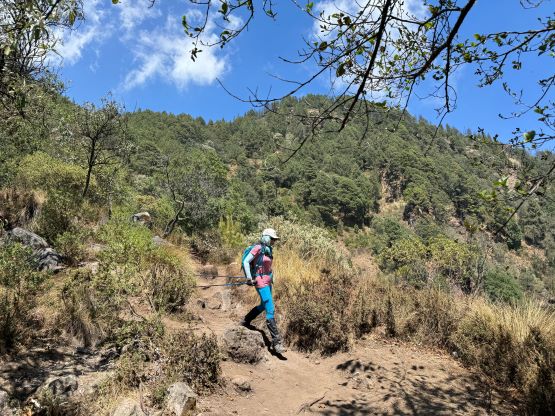
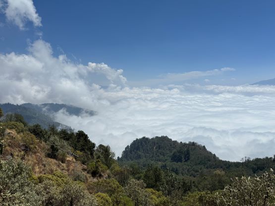
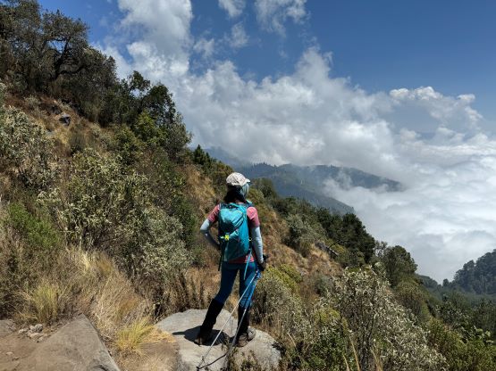
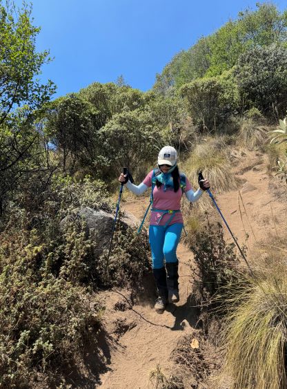
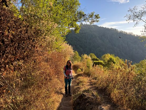
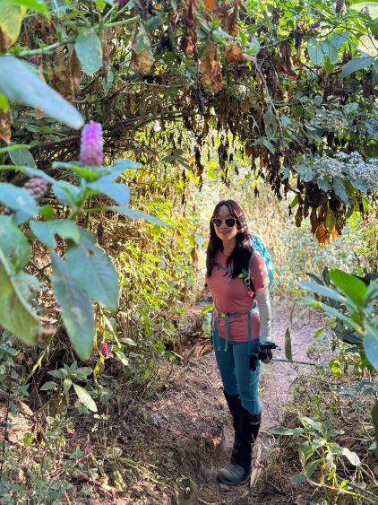
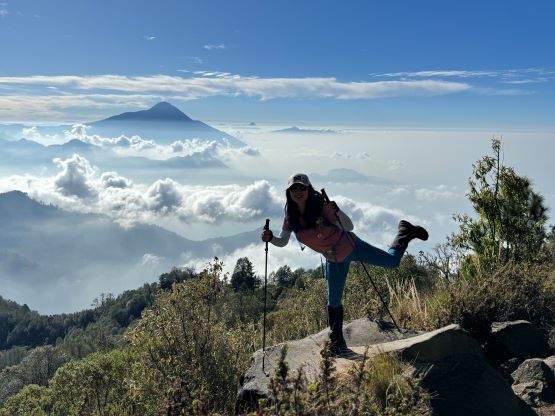
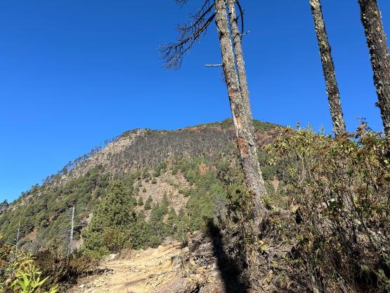
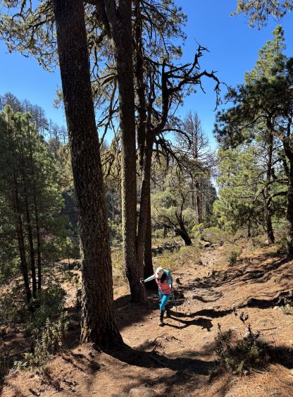
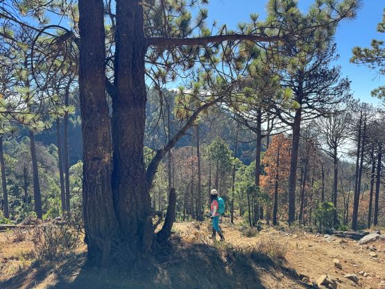
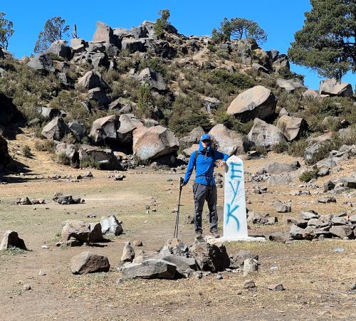
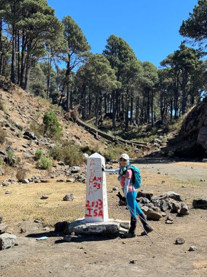
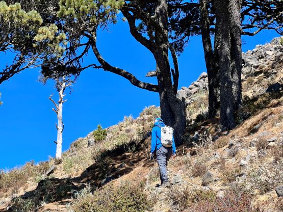
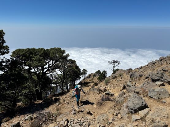
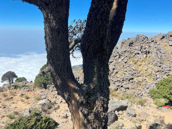
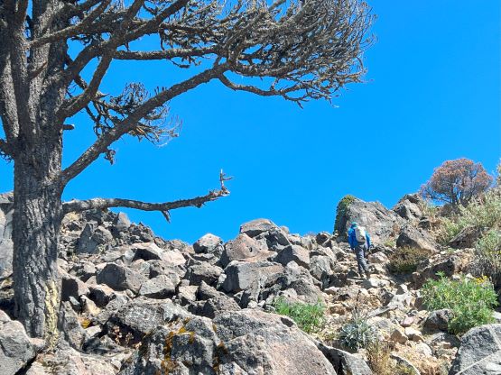
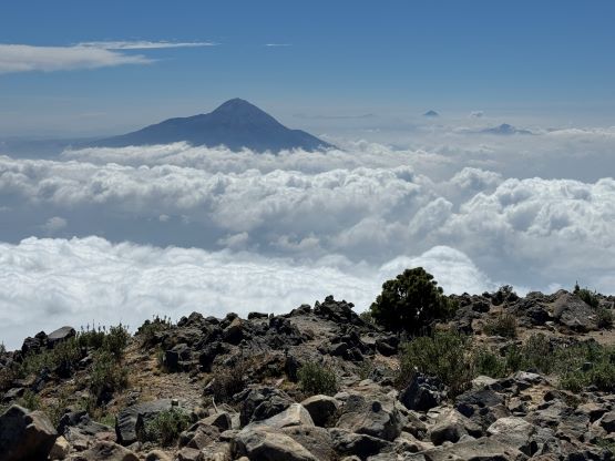
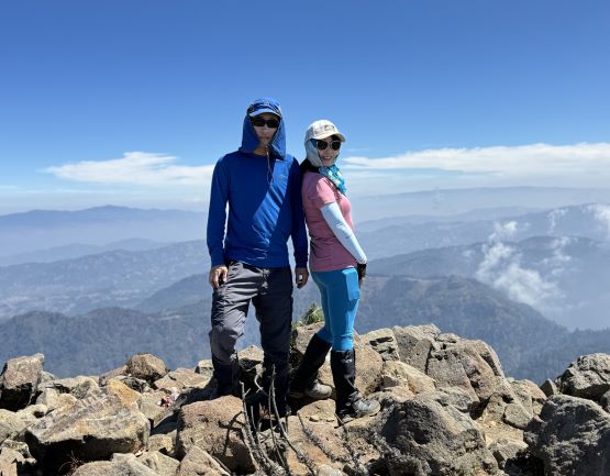
The crux was right at the beginning as the trail traverses between some residential houses and there were some aggressive dogs. After barking for a minute they eventually let us pass, but we weren’t as lucky on the return. Not wanting to get bitten I had to lead us down by trespassing into someone’s backyard and then bushwhacking down using game trails. I don’t know if this is supposed to be expected on this peak as none of the previous trip reports had mentioned the issue, but it was quite serious. I had been bitten in Peru by just walking on the streets and Adam was bitten in Ecuador while hiking with me. I’m definitely not a fan of the dogs when it comes to these Latin American countries. The hike itself was rather boring as the majority of the route was in the forest. There were some limited views towards Volcán Tajumulco but the views were rather similar. Within the first two kilometers we encountered some up-and-downs and then the route picked up its grade. The entire trail was generally well defined, but was very dusty. Kate and I took the only break at 3800 m for some food and water. For the final 100 m elevation gain we followed the trail crossing the border into Mexico and I don’t think that’s legal. A law-abiding person could have bushwhacked straight up the east side of the summit block but why. I thought the illegal border crossing was actually more exciting. The actual summit was on the border and thank to the 360-degree views we lingered on the summit for at least half an hour long.


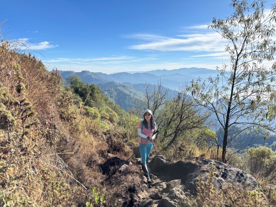


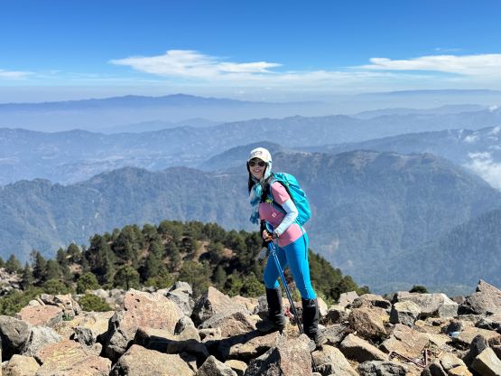
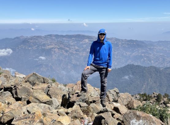
The ascent took us about 3.5 hours but it was mostly due to the altitude. We had been on purposely holding the pace to avoid getting headaches. Both of us were feeling fine about this 4000-m elevation so we did the descent rather casually, jogging at times. Asides the problem with the dogs back at the trail-head the descent was uneventful and we finished the round trip in just over 5.5 hours. Oswaldo had been patiently waiting and then we drove back into the town of Sibinal taking my proposed “long way”, which wasn’t ideal. The roads were as rough, but less steep. The weather had turned completely foggy such that the driving had become challenging with the limited visibility. We even had some periods of drizzling in Sibinal. After making a stop at Hotel Estrella Dorada we drove out of the town. An hour later we checked in at Hotel Villa Real not far from San Sebastián at the base of our next objective.