Lummi Peak
October 26, 2022
507m
Bellingham, WA
Lummit Peak is the highest summit on Lummi Island that requires a short ferry crossing in the vicinity of Bellingham. This is actually one of the closest summits from my home in White Rock, B.C. but I somehow had never got around to actually do it. The logistics associated with the ferry seem to be rather straightforward and it’s not an overly expensive one neither. There’s a well-maintained trail that goes most of the way up following some deactivated logging roads but the true summit requires a short bushwhack and is forested with no view. There are however, a few notable viewpoints on the trail with views towards Orcas Island and the sounds. This peak is better than the averaged “dumpster-dives” but I wouldn’t say there’s anything spectacular to recommend for.
I eventually decided to pull the trigger on the Wednesday morning as a before-work exercise taking advantage of the brief weather window. I researched a bunch of areas and determined Lummi Island was actually a spot with a relatively low chance of precipitation. I invited Shayan to come and by pure coincidence Rafael Smith also talked to me about going out on Wednesday. The entire planning was done on the last day and the three of us decided to meet up in Blaine at 5:50 am. It wasn’t until that very morning that I informed the other guys that we were actually a group of 3, as prior to that I had been communicating with each of them separately. Rapheal offered to drive us to the ferry as his vehicle was the biggest among ours. We caught the 6:30 am ride onto Lummi Island without an issue and they charged us 30+ dollars on the ferry. That cost included the return fare.

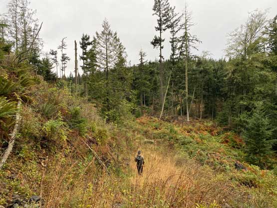
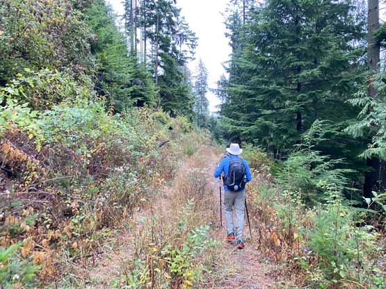
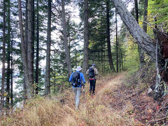
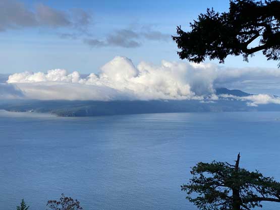
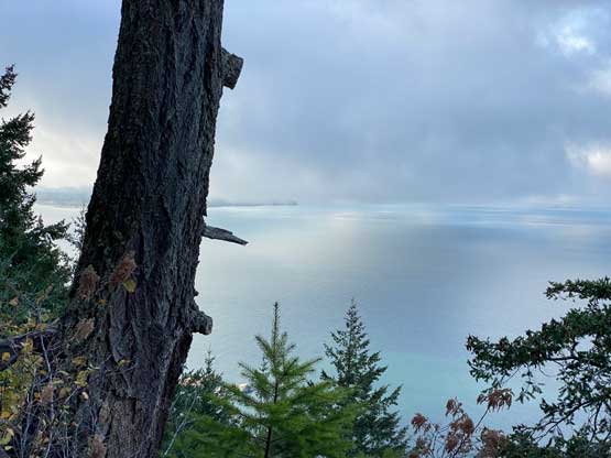
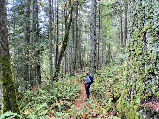
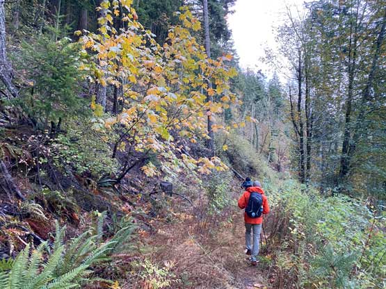
We made to the trail-head with almost an hour’s time till sunrise but that’s fine. We followed Shayan’s lead marching up the initial steep switchbacks with head-lamps on. After a while the trail joined what seemed like an old logging road traversing across the west side of the forested ridge. The head-lamps could finally be turned off and we got some decent views to the west. Little did we know that the viewpoint at the start of this long logging road traverse was actually the best of the entire hike. We did find a few more viewpoints later but those were considerably more overgrown, and so was the trail itself. Our pants started to become soaked as we approached the area SW of the peak.


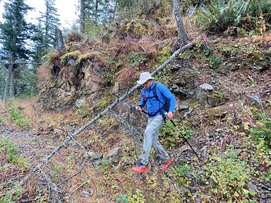
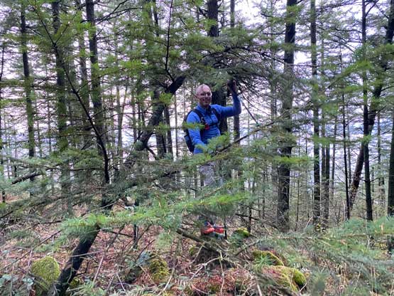
Upon reaching a major fork on the road we took the left branch doubling back to the NW side of the peak where the road came to an abrupt end. We missed the start of the faint trail and did our own bushwhack up the slopes, which was not very pleasant in the wetness. It had rained considerably the night before and we got further soaked. The bushes here were also somewhat brambly. We did pick up a path and made the high point with no view whatsoever. Not being convinced that the first lump of trees was actually the true summit we opted to explore further to the south and found a few more high point contenders, but I still think the first one (northernmost) was the highest summit.


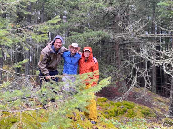
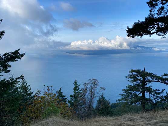
After taking some obligatory victory photos we made our way back down the north slopes and found a better path that avoided must of the bushwhacking. While plodding down the uppermost logging road spur Raphael and Shayan decided to check out an unnamed peak SW of Lummi Peak that has a “dot” on the peakbagger app. I couldn’t convince myself to count that as a separate summit due to the lack of a proper name, so opted out. Instead of bushwhacking in more wetness I earned myself time to eat two sandwiches. We stopped at that major viewpoint on the way down to take a few more photos. After finishing this hike we still had about 2 hours of time to kill, so we drove north to explore a way up Richards Mountain. The elevation of that is only 101 m and there’s no ascent on peakbagger.com…