Hualalai
February 13, 2023
2521m
Big Island, HI
Hualalai is the 3rd highest volcano on the Big Island but is mostly ignored by the tourists. I’m sure only the locals and the peak-baggers are aware of this objective as the entire mountain is off-limit via legal ways of entry. The Kamehmeha School runs some guided tours that cost over 200 USD per person but they don’t go to the summit. The summit itself is sacred according to some resources. I’m not interested in knowing who actually “owns” this mountain but by one way or another bagging this peak requires some trespassing. At least 4 gates must be hopped over via the standard west side route and all of them had aggressive signs of “no entry” and “private properties”. There exists a much-longer route from Puu Waawaa trail-head with over 30 km distance and 2000 m elevation gain that might be “safer” but I read elsewhere that there’s no route to Hualalai summit that completely avoids someone’s private property, whether it’s the famer’s land, the Kamehmeha School’s land or the sacred sites. Our tale of this ascent reflected what I’ve seen on the various trip reports on peakbagger.com. At least one hiker had been threatened to “go to jail” and almost all groups had been caught by one “authority” or another. Many names and pictures had been recorded. This is definitely a fairly serious tresbagging. If you decide to use our “beta” then check your own ethical values and do it at your own risk.
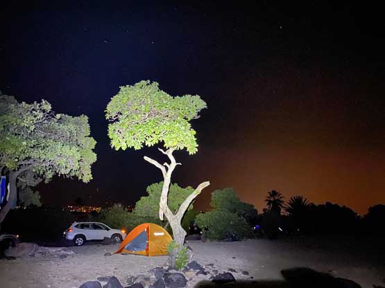
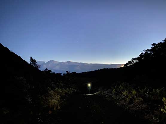
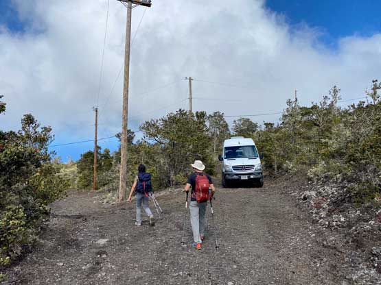
Nikita, Raphael and I decided to stick to the known and attempt Hualalai via the standard route. One report on peakbagger.com indicated that we should start at 6 am or earlier to avoid encountering the authorities and to give plenty of contingencies I decided to start even earlier with head-lamps on. This was the second day of our Hawaii smash-and-grab trip and I made us to wake up at 4:15 am. We had not turned in until 10 pm the night before so waking up wasn’t overall that easy. Taking down the tents also took some time and getting out of the campsite proved to be the first crux of this day as they were strict about the 9 pm to 5:30 am gate hours. This was at Kohanaiki Beach. We had to make up some fake excuses of medical emergencies to let the authority to open the gate for us, and we were still delayed by 15 minutes. Thankfully the drive to the trail-head was short. The trail-head has elevation of 1500 m and was much colder than expected. I ended up changing the shorts to long pants and that was definitely the correct decision. I opted to park right in front of the fence as I didn’t think it mattered much. Whether we parked there or a few hundreds meters down the road it’s obvious that whoever parked the vehicle would be trespassing. The most robust way of getting this summit was definitely to ascend at night and face the consequences only on the descent.
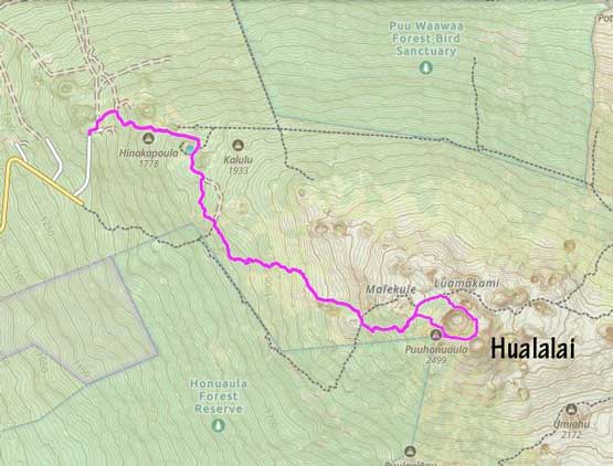
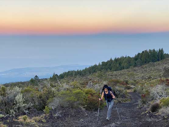
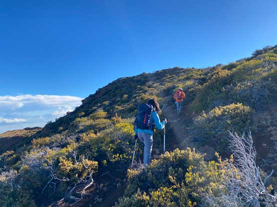
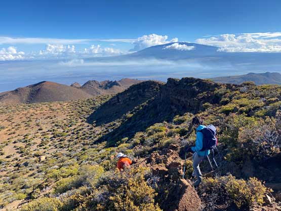
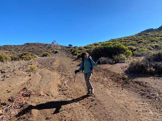
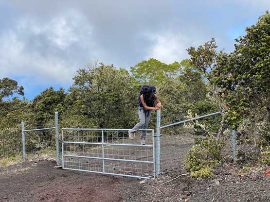
There’s literally only one logical spot to hop over the initial gate with fence around. It’s obvious that many hikers had entered into the sacred lands from this way judging by the mangled state of the barbed wire fence. The second blockage was a gate 100 m from the first one (barbed wire fence) and two of us hopped over while I ducked under. The navigation could be tricky in the maze of dirt roads back in the pre-GPX era but we had downloaded two sets of tracks so it wasn’t a problem. The ascent turned out to be mostly plodding on dirt roads. Raphael made a point that we should hike faster in case the authorities came on some ATVs from behind and I agreed. At around 1850 m elevation the road turned southwards and this marked the beginning of a long stretch of traversing with minor up-and-downs. The end of this stretch had a private house so we made sure to be quiet while sneaking beside. There wasn’t a vehicle parked so I didn’t think anybody would be inside, but we still played cautiously just in case. The sky had also turned bright enough that head-lamps were no longer needed.


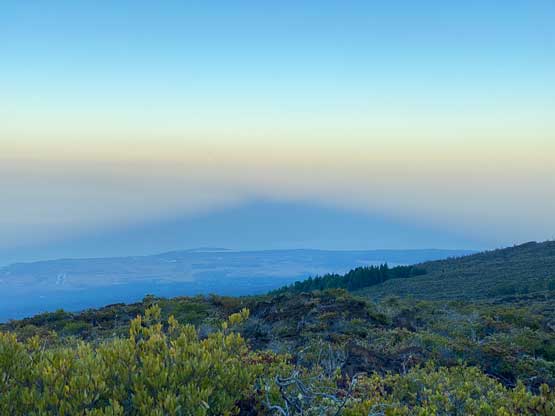
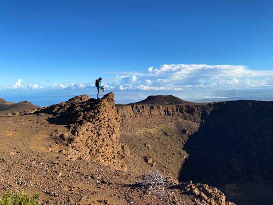
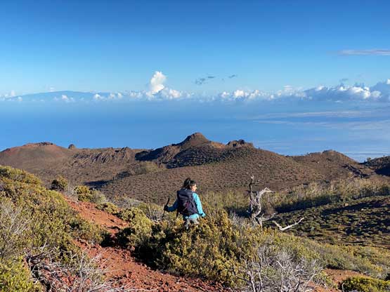
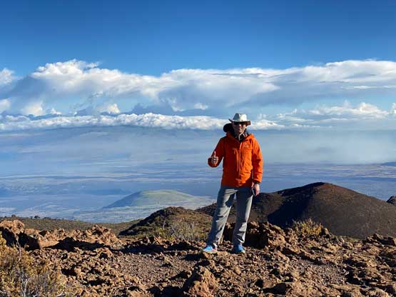
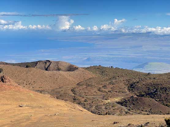
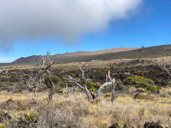
The rough road then made an eastwards turn and ascended gradually to around 2200 m elevation. Beyond that we entered some forest coverage and encountered several dead-falls on the road. It’s obvious that nobody had driven this far up in the recent days so we finally could stop worrying about getting caught, at least for now. The upper road brought us to the highest saddle at 2350 m elevation directly under the summit of Pu’uhonua’ula and we left the road there. The cross-country ascent to Pu’uhonua’ula/Hualalai saddle was straightforward. The original plan was to tag the true summit first but Raphael suggested that we should traverse the entire crater rim for more views. This meant we wouldn’t be coming back to Pu’uhonua’ula/Hualalai saddle so we dropped the packs and made a quick dash to grab this insignificant, but officially-named summit. I did not regret the decision as the summit of Pu’uhonua’ula actually offers some unobstructed views down towards Kona Coast areas.


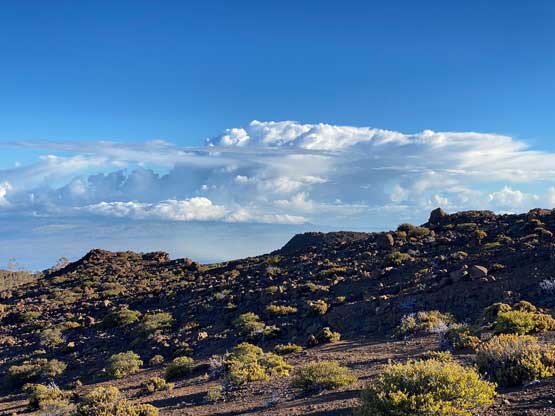
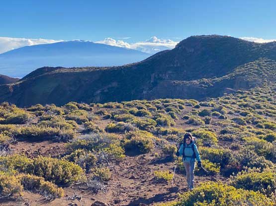


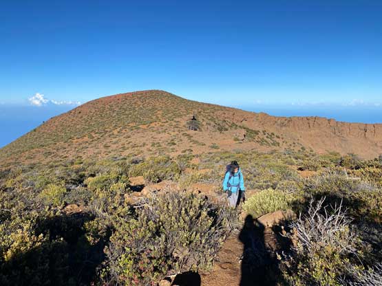
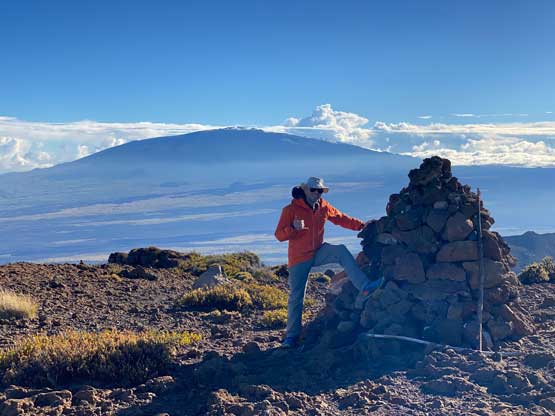
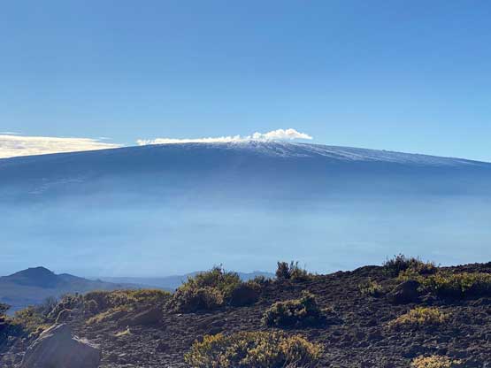
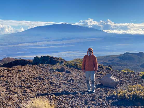
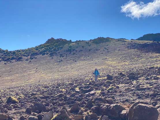
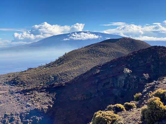
After grabbing the packs we ascended the easy west slopes of the true summit of Hualalai and the travel was again, very straightforward. Despite the sacred status there’s a summit register full of entries. The weather had been much nicer than forecasted and we could see the summit of Mauna Kea free of clouds. This meant we could actually have done Mauna Kea in this morning. The forecast was predicting Wednesday (Day 4) to be the best window so that’s why we didn’t do the main objective first. Nonetheless given the excellent weather we lingered on the summit for almost an hour before agreeing to descend.
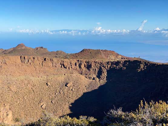

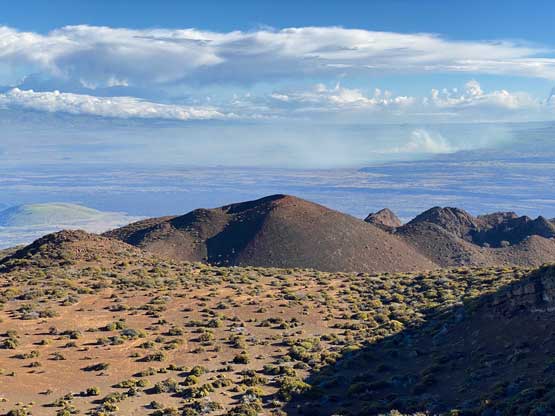

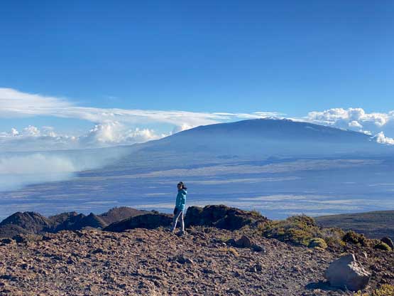

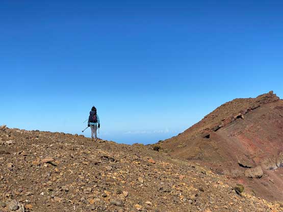
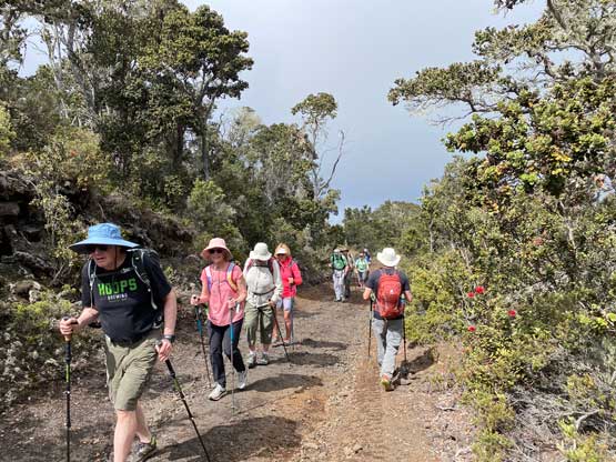
As planned we followed Raphael’s lead down the less-travelled north slopes and got some unique views of the crater. I’m usually not a fan of descending an unknown and different route but I definitely did not regret this spontaneous decision we just made. After some easy cross-country travel on open terrain we reached a road and quickly joined our ascent tracks. The rest of the descent was uneventful except that we encountered a large guided group somewhere between the 3rd and the 4th gate (counted from bottom up). The guide immediately called us out for trespassing Kamehmeha School’s land but didn’t take any legal action. We apologized and explained that we were exiting anyway, so they let us resume our descent. Three more fences/gates needed to be hopped over and right in front of the last fence we saw a local with his dog waiting for us from outside. It turned out that he didn’t even bother to talk to us, so whatever.


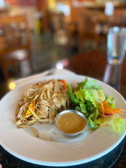
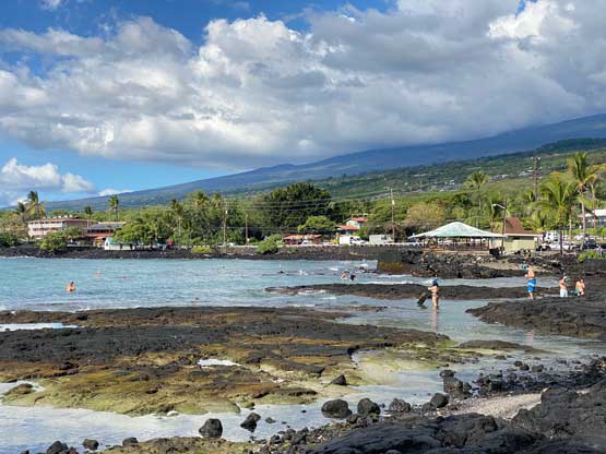
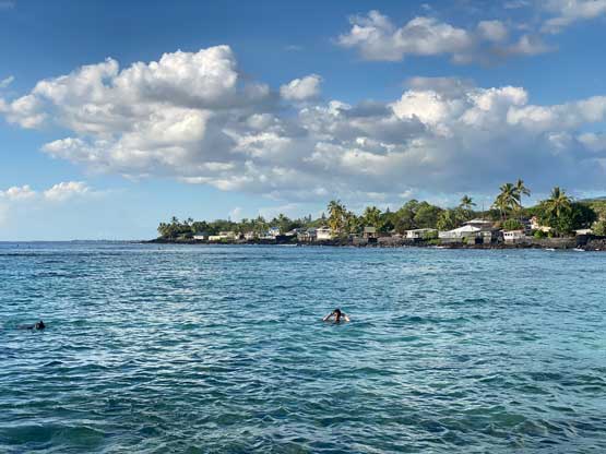
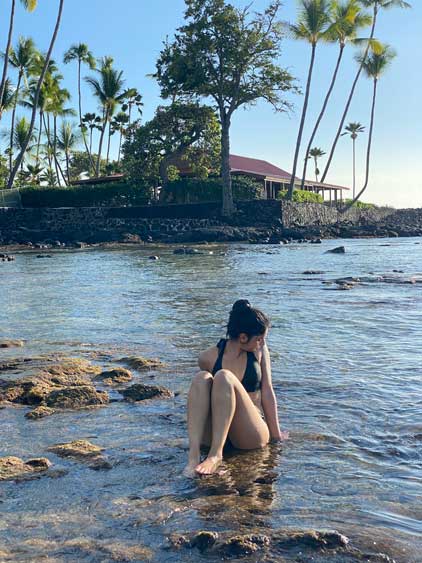
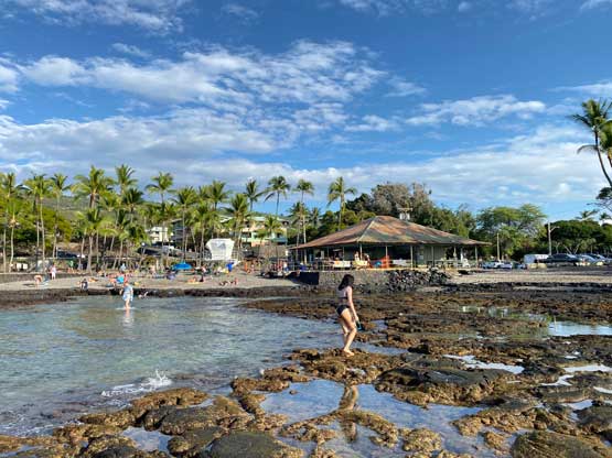
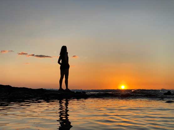
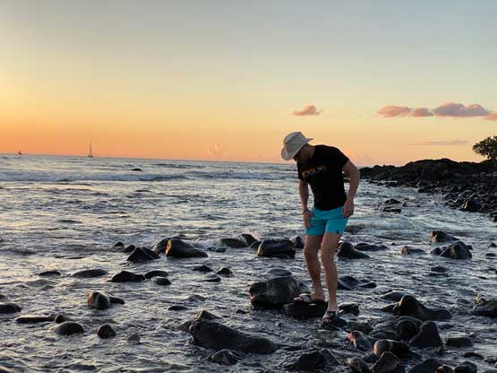
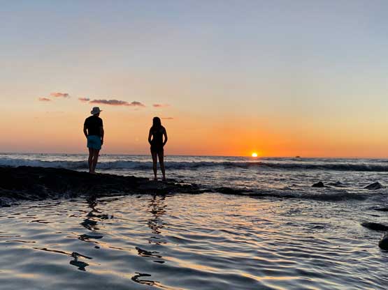
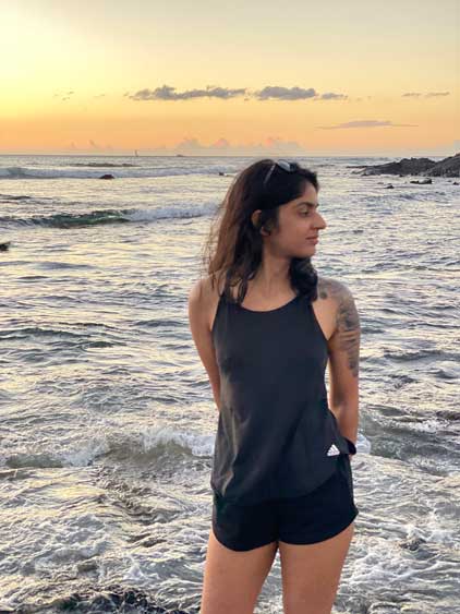
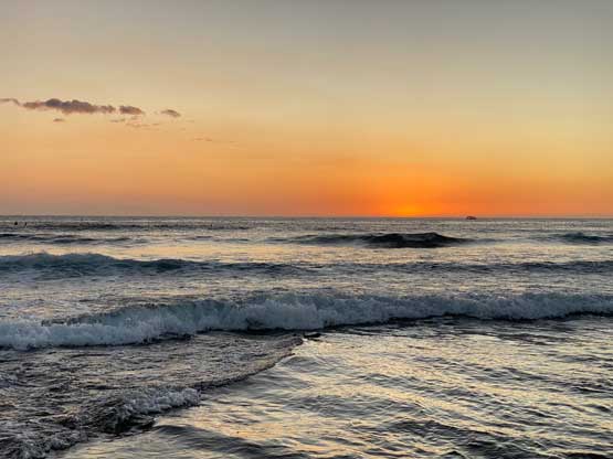
Our round trip time was almost 6 hours, covering over 20 km distance and 1000 m elevation gain. We finished before noon so we had the entire afternoon ahead of schedule to do some tourism things. The first stop was to obtain some free wifi in McDonald’s for my Socials updates, and then we went to a Walmart for grocery and snorkels that would give some underwater vision. I opted for a cheap ass 10 dollars equipment. We then drove to a beach on the south side of Kona and paid the stupid ass 12 dollars parking fee. I actually managed to see some tropical fish, so that was cool. The 10 dollar snorkel proved to be garbage as the tube wouldn’t stay attached and a while later I started to suck in some water. Nonetheless that was definitely a relatively cool experience especially for peak-baggers like myself who almost never went to a beach. We then went for dinner in a Tai restaurant and drove back to Kohanaiki Beach to set up the tents. We managed to set up the tents minutes before sunset and the Hawaiian sunset lived up to its hype.