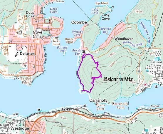
Belcarra Mountain
November 18, 2022
286m
Port Moody, BC
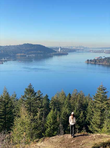
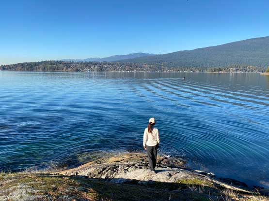
“Belcarra Mountain” is the unofficial name of the highest point in Belcarra Regional Park not far from the urban areas of Port Moody and Coquitlam. The summit itself is entirely forested and offers virtually zero interest asides from getting some exercise, but the viewpoint on the west slope about 100 vertical meters under the true summit is a worthy destination. The trail system in this park is also excellent such that bushwhacking isn’t required to attain this viewpoint or the true summit, and hikers can make all kinds of extensions and/or loops to get the full experience of the area. In my opinion simply tagging the true summit and back from the parking lot would be quite a waste as the highlights of this hike are all but the summit itself.
Kat and I decided to take advantage of this incredibly sunny weather but we both needed to be back to White Rock no later than 3 pm for various commitments. Kat also couldn’t leave home until 9 am so our objectives were very limited. I had been saving “Belcarra Mtn.” on purposely for days like this so the decision was easily made. We drove northwards and arrived at the parking lot within an hour after leaving White Rock. The last few kilometers were very winding and narrow but the road’s at least paved. There’s also apparently a gate hour from 7 am to 5 pm which I had no clue about. Thankfully our planned hike would be entirely within this time range.
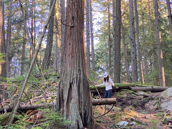
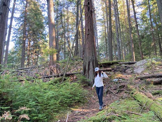
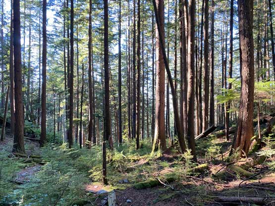
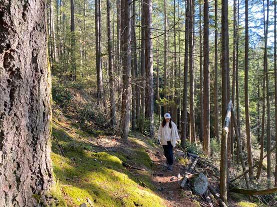
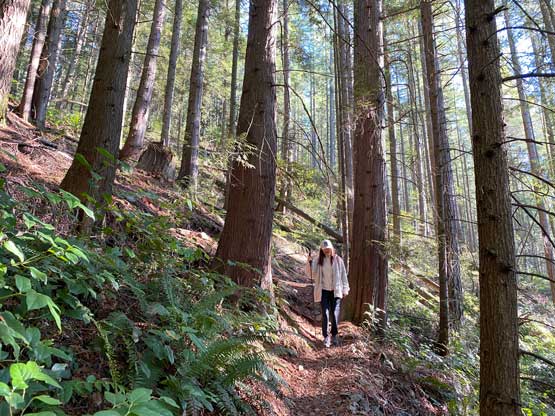
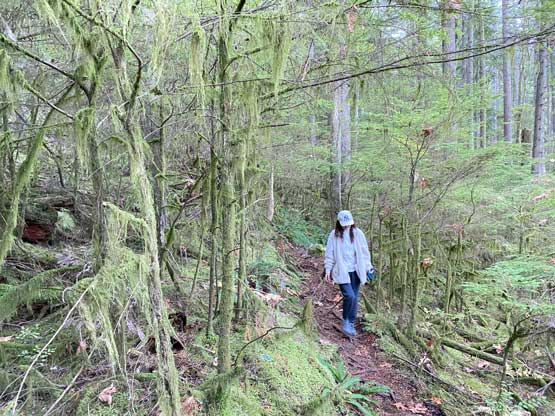
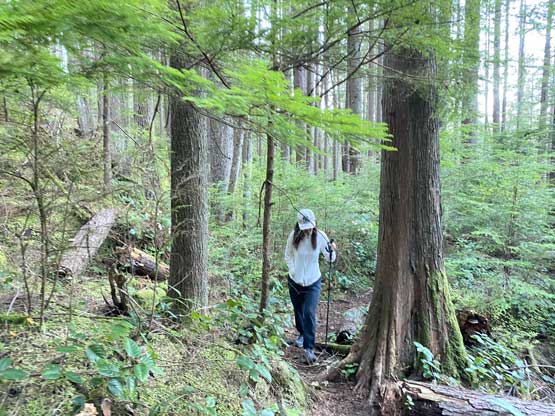
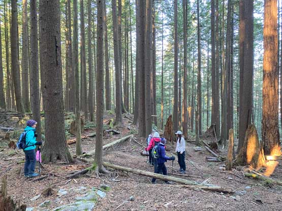
I had not done any research about the trail conditions so I bluntly followed the trails on the Gaia map, which turned out to be mostly accurate. The start of this hike was confusing as there were multiple signs of “private properties”. Not wanting to mess around with the locals we opted to walk back up the paved road for a short while. Once making sense I led us bushwhacking a short ways to intersect the trails shown on my Gaia map. We could have found the trail but I was getting impatient. After that we easily followed this unofficially maintained trail to the true summit. The final section had some up-and-downs but the hike was overall very easy and short.

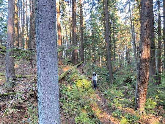
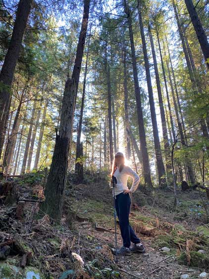

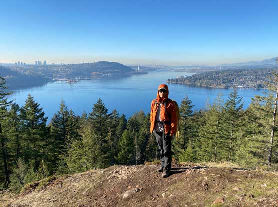
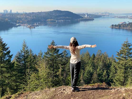
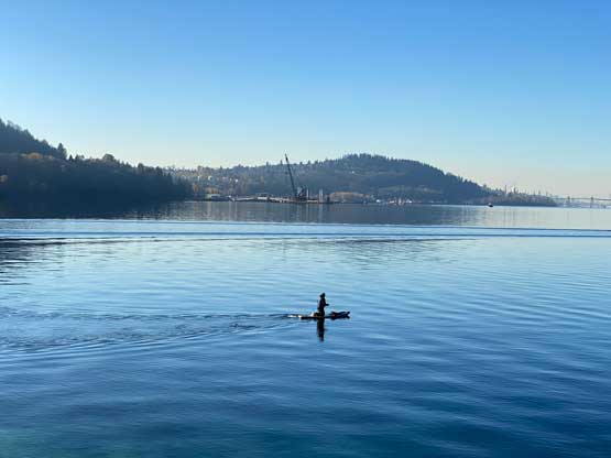
Since the true summit was forested we did not linger any longer than necessary. We soon picked up the west side trail descending to the aforementioned viewpoint. To get to this viewpoint required a bit of detouring but the reward was huge. The view westwards was actually one of the finest I’ve seen in the low-elevation Fraser Valley dumpster dives. We didn’t stay too long at the viewpoint thank to the time constraint. On the descent I opted to lead us to the trail traversing around the sea shore to close in a loop. We also paid a visit to Admiralty Point that required about 100 m of detouring. Again, the detouring was worthwhile. We then sped the return hike and drove home by 2 pm, earning just enough time for a late lunch and a short nap before work.