North Franklin Mountain
March 18, 2017
2192m
El Paso, TX
North Franklin Mountain is the highest peak in the Franklin Mountains of El Paso in the far western Texas. This peak is also located in the boundary of a state park hence the access has been well-maintained. There’s a popular trail leading all the way to the summit. I did it on the 10th day of this past spring break vacation. The original idea was Miller Peak near Sierra Vista, AZ but I was too tired to drive another 4 hours in the previous night so had to call it a day in El Paso which meant it’s better to just pick another local objective, and the tallest peak in this vicinity seemed like the right idea. There’s no need to push hard and I leisurely started the day in the mid-morning.
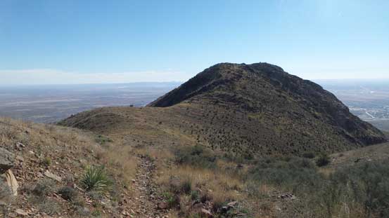
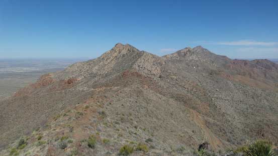
Indian Peak and North Franklin Mountain
For some reasons my “American The Beautiful” pass does not work in the state parks so I had to purchase an entrance ticket separately which was about 5 bucks per vehicle. The start of this trail was pretty well-signed and the idea was to aim at “Mundy’s Gap” which is a broad saddle on the north ridge of this peak. The trail did a few long and unnecessary switchbacks and I’m particularly not a fan of this kind of thing, so took a short-cut which definitely saved me some time. Despite the late start I did not let the sun hit me until Mundy’s Gap.
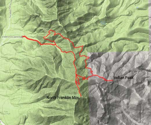
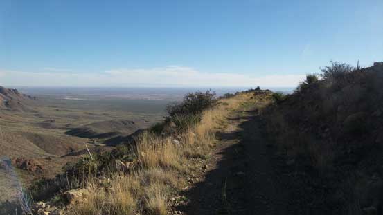
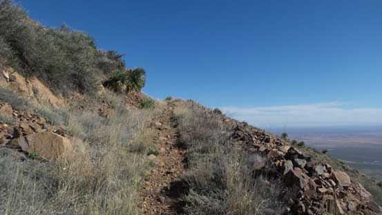
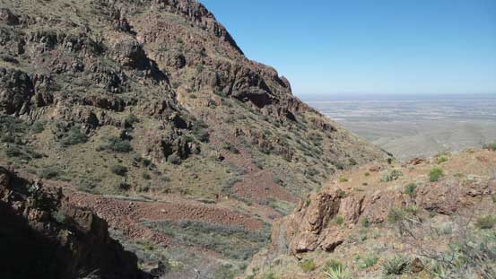
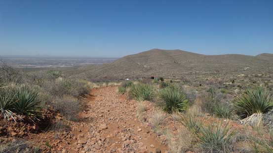
The western view from partway up Mundy’s Gap trail
Almost at Mundy’s Gap now.
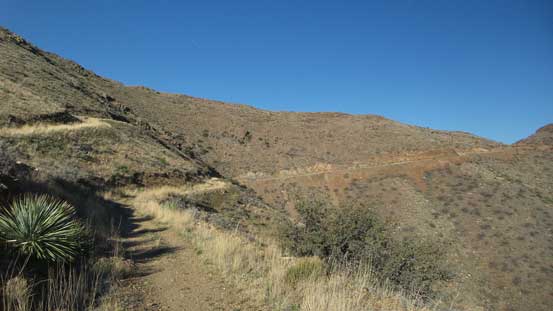
It was frustrating that the trail (more like a Jeep road) then did a downhill traverse on the east side of the gap, followed by more unnecessary switchbacks. I again, did some short-cuts and that included short-cutting on the north slope of Indian Peak. I took a side detour to check off Indian Peak as it’s right there, so why not.. This side-detour involved some off-trail scrambling but soon I was back to Indian/North Franklin saddle.
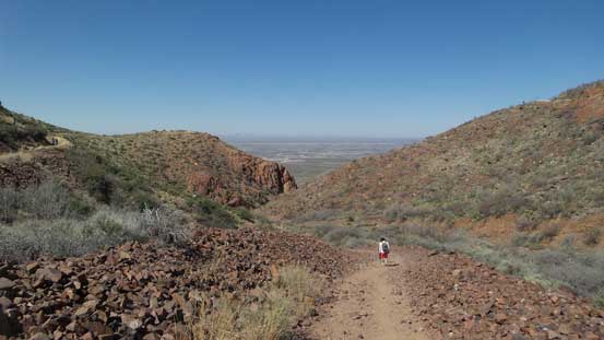
Crossing over to the east side of Mundy’s Gap
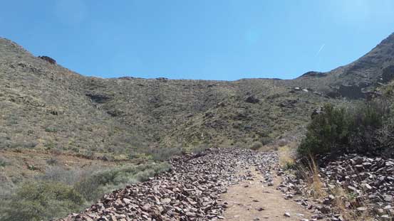
Following this Jeep road up.
The road does some unnecessary descending which was frustrating.

All junctions were well signed though.
Going up again..

A look towards Anthony’s Nose to the north.

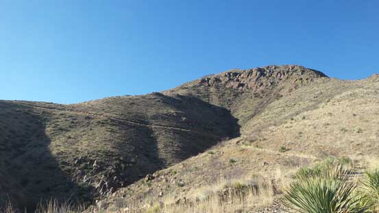
This is Indian Peak. True summit of left
Arriving at Indian/North Franklin col.
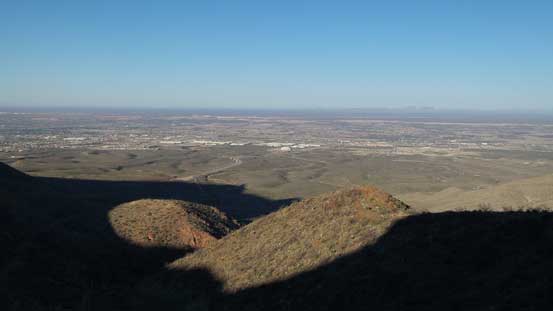
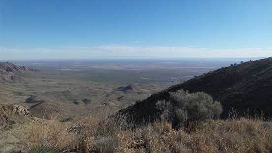
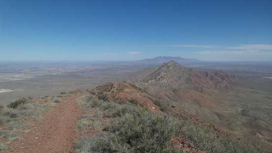
As the theme of this trip went there were more switchbacks upwards from Indian/North Franklin saddle but those weren’t unnecessary anymore as otherwise the grade would be too steep (for hikers anyway). Once cresting the broad north ridge the views were pretty expansive looking down at the cities and the desert landscape. The summit was not very sheltered so I didn’t have enough motivation to linger too long.
Looking back at Indian Peak
Hiking into the sky!

Another look at Indian Peak. Now it’s much smaller

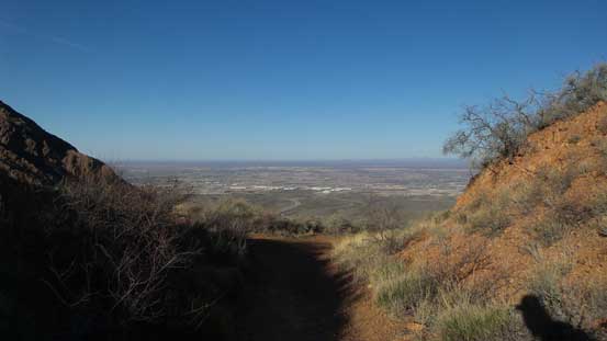
The final push to the summit
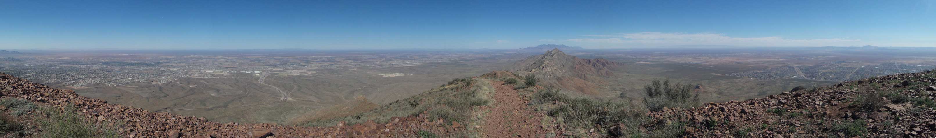
Partial Summit Panorama from North Franklin Mountain. Click to view large size.
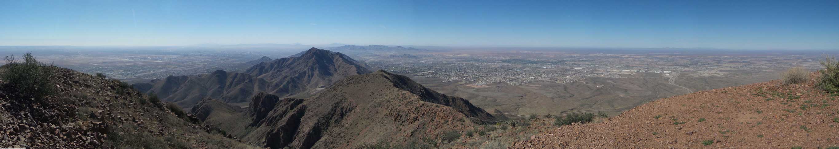
Partial Summit Panorama from North Franklin Mountain. Click to view large size.
The SW view
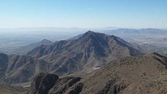
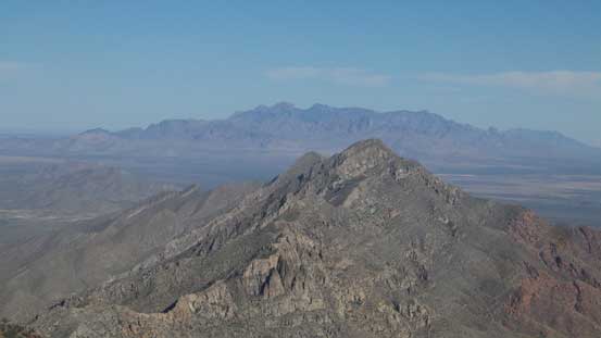
South Franklin Mountain
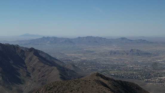
A zoomed-in view looking south into Mexico

More about the view into Mexico. This is over the summit of S. Franklin Mtn.
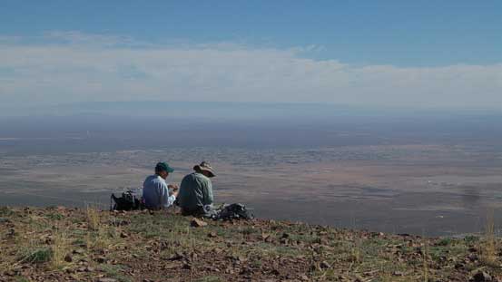
Two other hikers taking a break on the summit
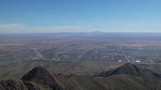
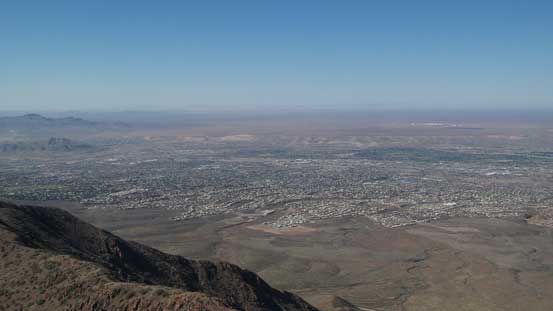
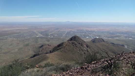
The city of El Paso, TX
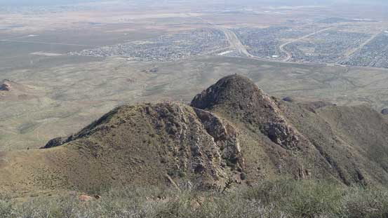
Indian Peak now looks tiny
Looking over the summit of Anthony’s Nose towards distant peaks in New Mexico
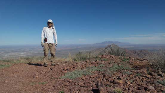
Me on the summit of North Franklin Mountain
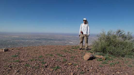
Another shot of me on the summit.
I had talked to two other local hikers on the summit and they recommended me to take a short-cut down the north ridge direct. There’s a pretty good trail/path although it’s not shown on any map. This turned out to be a very good call as otherwise I’d have to deal with those switchbacks and elevation regain. The trail was a little bit less defined towards the bottom near a dry creek but as far as a “route” standard goes I wouldn’t complain. This brought me all the way down to the lowest stretch which was not far from the parking lot.
Time to go down…
Looking over Indian Peak towards El Paso

The northern view over Anthony’s Nose
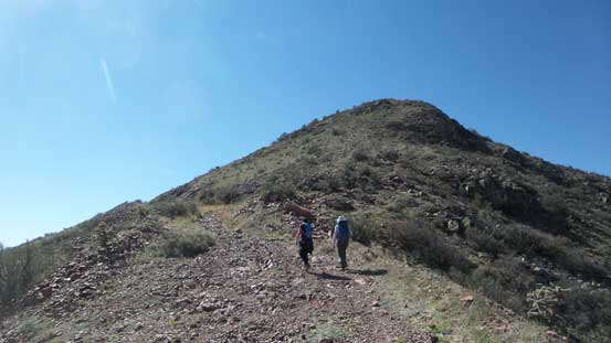
Passing two other hikers on their way up.

The north ridge descent was much more scenic than the road plod

Hiking down the north ridge. Believe or not there’s a good path.
Anthony’s Nose and other peaks are looking big again.
Dropping down into this bowl following the path.

It’s confusing near here, but the confusion was short-lived.
Rejoined the lower trail now.
The trail bed was rocky at places making uncomfortable footings.

Hiking down this confined valley on a dry creek bed.
Almost done.

Looking back from 3 minutes away from the parking lot. Bye bye Texas.
This was a pretty short trip by any standard which meant I’d have the entire afternoon ahead of schedule. I did not see much point staying in Texas so resumed the drive westwards back towards Arizona. I did do some search about the possible objectives in the southern New Mexico but didn’t find anything exciting. A few hours later I was back in Tucson, AZ and the first business was to find a motel (Super 8 Motel). The price was very reasonable at less than 50 bucks per night and I booked 3 nights in a roll. There were quite a few nice-looking objectives nearby and I’d like to check them all off before moving on. First of all I still had a couple hours to kill till sunset and after some Googling I had my eyes on the local Sentinel Peak as an introductory.
