“Poignant Peak”
February 22, 2022
542m
Abbotsford, BC
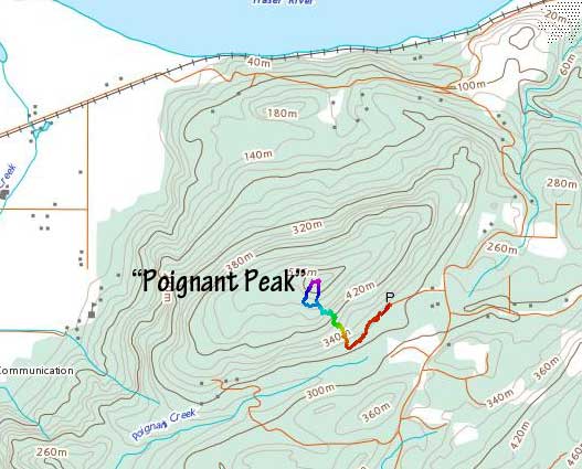
“Poignant Peak” is the unofficial name of a forested bump on Sumas Mountain in close proximity to Poignant Creek. I believe this name did not start to show up on the internet until the past year or two. This peak has over 200 m prominence despite the lowly status. The peak is also riddled with trails such that to attain the summit bushwhacking is not required. Despite the essentially-unnamed status this peak must be a popular hike among the locals.
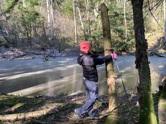
Kat happened to have a few hours on Tuesday available for a hike but I was struggling to find a suitable objective. Kat had helped me to clean up pretty much every single officially-named dumpster-dive in Fraser Valley in the past 4 years so we kind of have to move on to the unofficially-named ones. I do not like unofficially named forested bumps so my minimal criteria is 100 m prominence. “Poignant Peak” definitely qualifies the criteria. The weather was supposed to be “bluebird” but windy and cold thank to an Arctic Outflow event. We left White Rock at 9 am. In about an hour we made to Whatcom Road exit for gas. The wind and the cold was beyond our expectation but we were already there so we had to try. The drive from the gas station to the trail-head at the end of Glen-Neish Road took about 15 minutes.
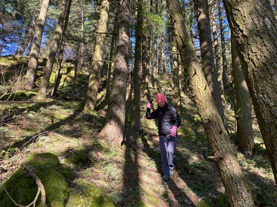
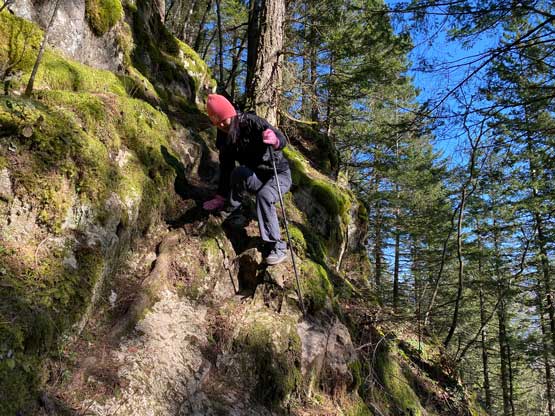
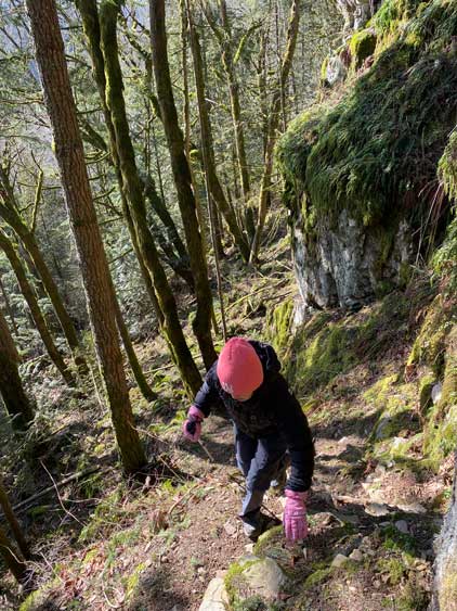
The first 10 minutes of the hike was by plodding up a flat trail. There were some confusing intersections. The turn-off to go up the south slopes of “Poignant Peak” was easy to locate thank to the GPS technology these days. This trail that goes up towards the summit of our objective was very steep, weaving around bluffs with sections of “class 2” scrambling on tree roots with some exposure. Kat wasn’t quite experienced in scrambling so we made sure to take our time. Higher up we encountered a trail junction with a flagging tape. The Gaia map did not show the direct finish to the summit so we took the left branch traversing horizontally. The trail became faint at places and eventually nearing the summit we just dashed straight for the highest point overcoming some light brush. The view from the summit was next to non-existing, which was basically as expected.


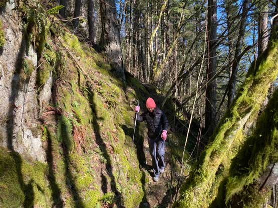
We noticed a trail that came up from the south side so we took that one down for a gamble. It turned out that this trail brought us directly back to that aforementioned flagged junction. This trail was better built, but very steep and slippery. We then carefully descended the rest of the steep trail and rushed our way home. I eventually got back to White Rock at 1:30 pm for a late lunch.