Fortress Mountain
September 14-15, 2013
3007m
Hamber Provincial Park, AB/BC
Not to be confused with the more popular The Fortress in Kananaskis, this one sits deeply in Jasper’s backcountry. It’s on the boarder between Jasper N. Park and Hamber P. Park, also on the provincial boundary between Alberta and British Columbia. It’s not a particular big mountain compared to many of its neighbours, but it’s a very impressive looking objective viewing from the Fortress Lake Trail below. It only has 2 recorded ascents with the second ascent party being Glen Bole’s in 1998, utilizing a helicopter ride. A couple weeks ago when Eric, Vern, Ben, Liam, and I planned an ambitious trip hoping to bag the its fatty neighbour, Catacombs Mountain, Eric threw out the plan to ascend Fortress Mountain as our second objective. We all agreed so that was the plan! Most parts of our proposed route were untested and it was a full on exploratory trip.
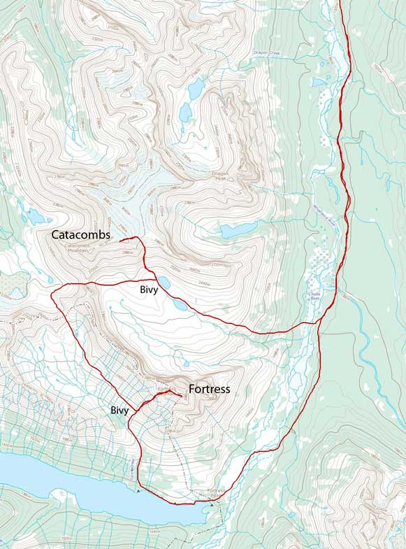
Catacombs Mountain and Fortress Mountain ascent route. GPX DL
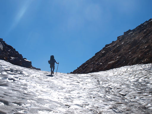
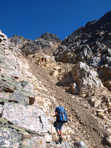
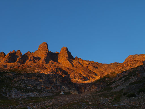
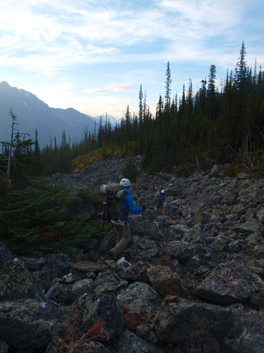
We approached to Athabasca Crossing Campground on Thursday evening, and then carried on to the far end of second alpine lake at Catacombs Mountain’s south bowl on Friday. On the same day we made a successful ascent up Catacombs Mountain. After spending one night at this superb bivy site, it was the time to focus on our second objective, Fortress Mountain. To minimize bushwhacking, we proposed a route going over two alpine cols to access Fortress Creek Valley, with the first col likely having no previous ascent. I named it “Catacombs South High Col”. It looked ridiculously steep and loose but since we were there we had to give it a real shot. Getting to the base of “Catacombs south high col” required some elevation gain, loss, and regain on big boulders and by the time we got there the sun was fully out baking the slope. It was very hot..
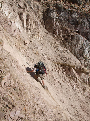
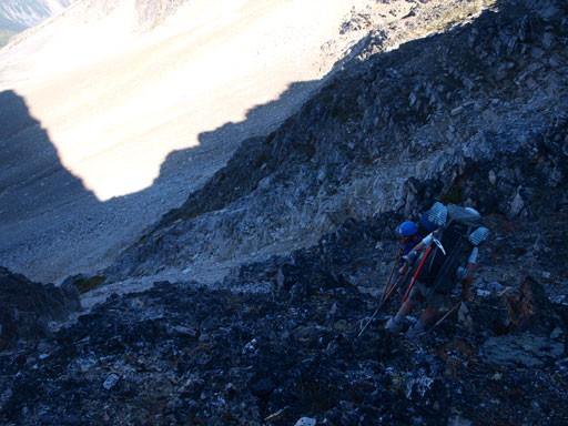
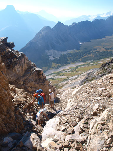
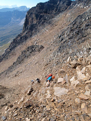
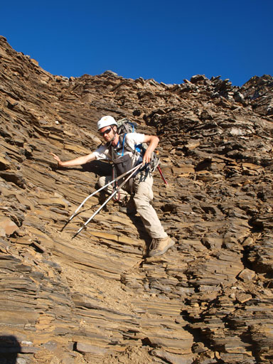
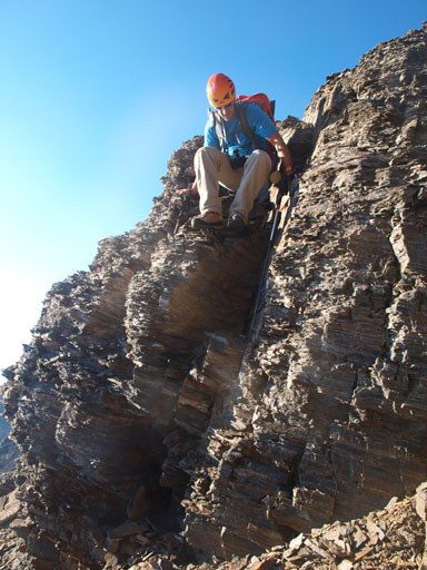
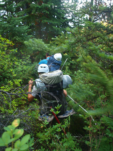
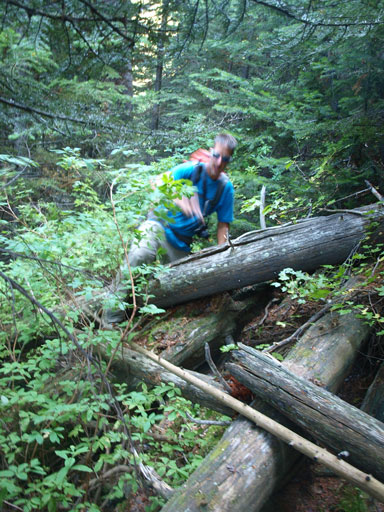
What makes this col interesting is, there’re two (very steep) parallel gullies. It was apparent that one cannot traverse easily from one’s top to the other’s. From this side the left side gully looks less steep, but we had no idea how steep the other side is. We decided to make our lives easier first by going up the left side gully. It was still ridiculously loose and steep. In a group of 5, this is a very dangerous place to hang around. Liam, Ben, Eric, and I made our lives even harder by picking an unnecessarily difficult variation. It was so loose and steep that by comparison, our wrong route over Quartzite Col felt like a beginner level. We regrouped with Vern about halfway up the steepest part. The terror hadn’t over yet as even more miserable stuffs were yet to come, dirt on top of steep concrete hard clay. Near the top Ben decided to climb up the concrete hard gully but got stuck in the middle. The rest of us took a 90 degree turn overcoming awkward terrain to bypass the concrete stuffs. At this point we decided to get out of the gully first and then lower a rope down to Ben so he can grab it as extra hand holds. The biggest challenge for us was not knocking down a shit ton of rocks to Ben. It was impossible as we still dislodged quite a few boulders and lots of scree, but thankfully the big chucks missed Ben. Thankfully again there’s a big boulder on top of this gully that we could use as an anchor to drag Ben up.
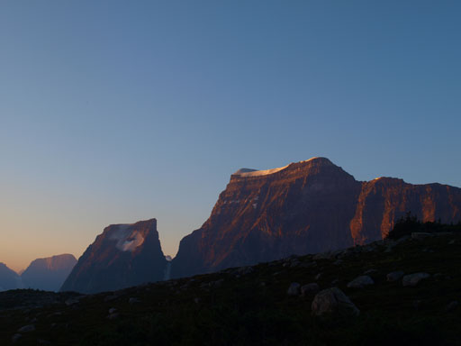
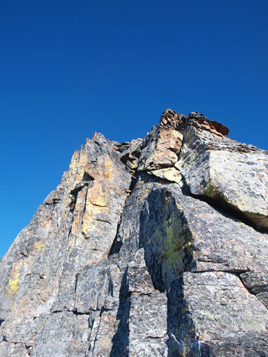
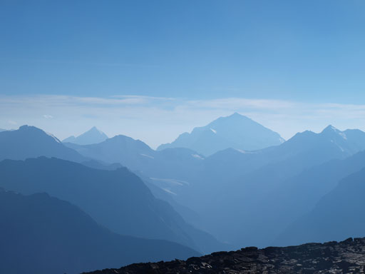
Fortress Mountain, our objective of this day. We had to loop to its back side
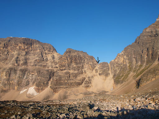
The black arrow shows where we were aiming at
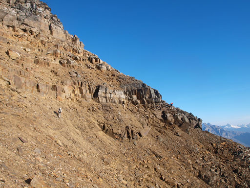
Scrambling

More scrambling on awkward terrain

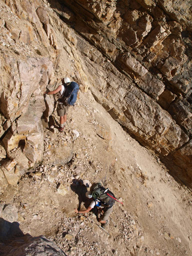
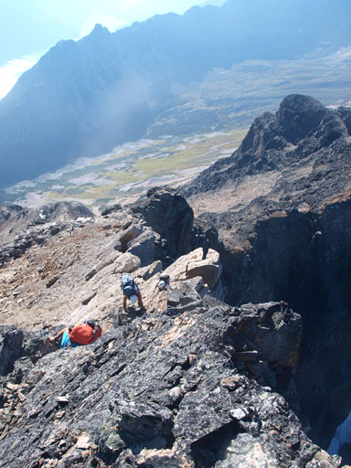
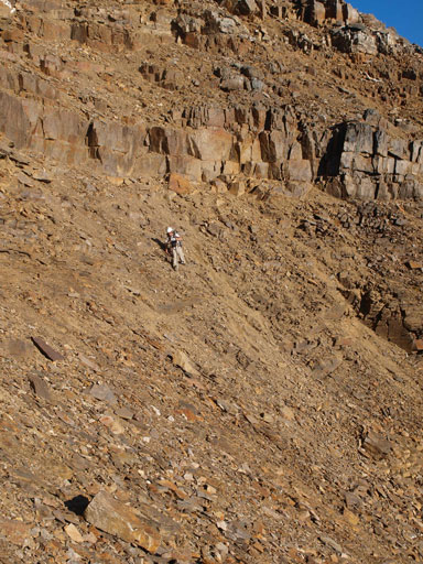
Eric negotiating the loose, difficult, and exposed terrain
Ben got stuck in this gully. We had to get up and lower a rope down to him.
Looking back from this high col
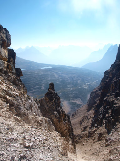
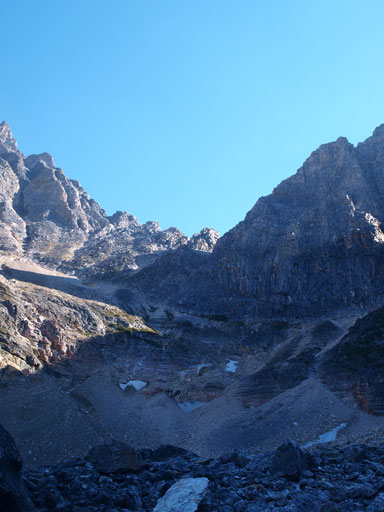
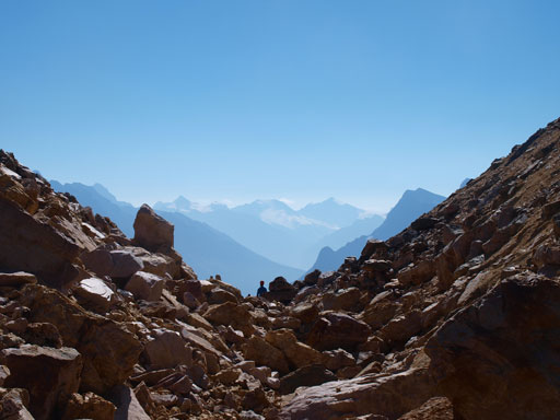
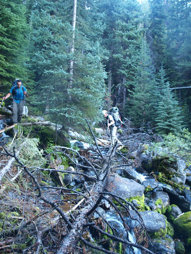
Good news appeared as we started looking down the other side. It looked much easier than the way we came up, but still, it’s very steep. The gully soon came to a dead-end and we were forced to traverse skier’s right and thankfully it connected to the next gully over. Scree skiing down this bigger gully for quite a while, we found ourselves being in the danger of getting cliffed out again. Vern went down to the cliffs and confirmed that we could possibly go skier’s left to find a weakness, and thankfully again, we did find a weakness, and this eventually brought us down to the very upper section of Catacombs Creek Valley. This valley is a smaller branch of the big un-trailed Lick Creek Valley and I’m sure it seldom sees human traffic.
The high peak on left is Mount Scott
We had to lose elevation to near this lake
The loose descent starts
Looking back. It wasn’t easy from this side neither…
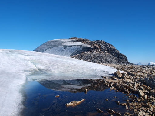
A tarn in the headwater of Lick Creek Valley
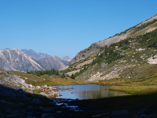
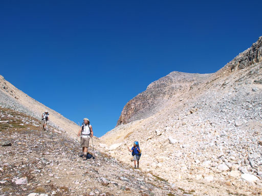
Our next goal was looping around to access “Fortress col” from its north side. The terrain around here was completely unknown and we would soon discover some interesting micro-terrain. There were some 20-meter cliff bands blocking the direct way to traverse over and we had to make a choice whether dropping all the way down, or going up and hoping not to get cliffed out. We all wanted to shave off some time so we picked the risky one. Glad it worked out as we were soon looking at the big slog to Fortress col. This one appeared to be just a slog without much technical challenge. It’s also a lot lower than Catacombs south high col. Near the top there were some permanent snow patches and we had to don crampons.
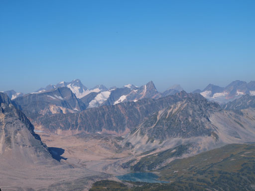
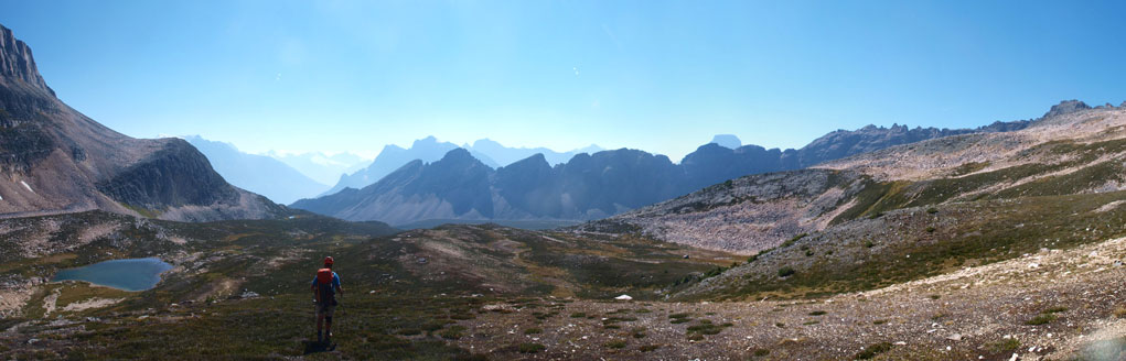
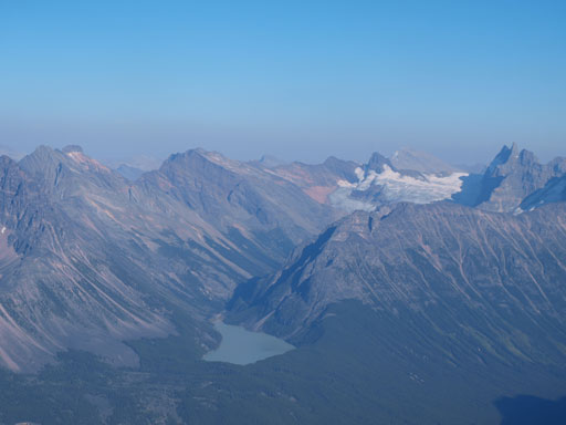
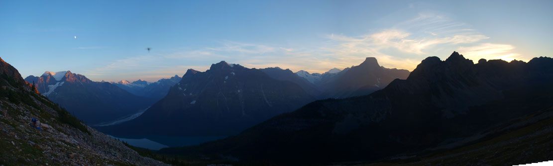
Panorama of this lovely alpine area
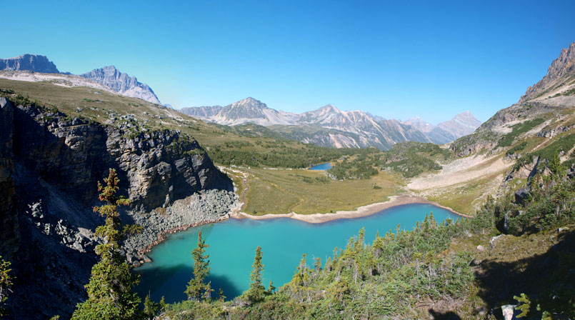
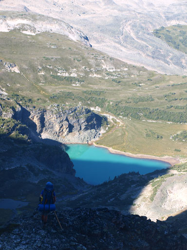
Wow look at this lake!
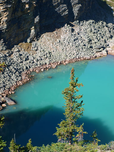
A closer look. The colour reminds me Lake O’Hara area

The FA party went up the NW side of Catacombs. It looks pretty difficult.
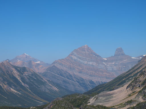
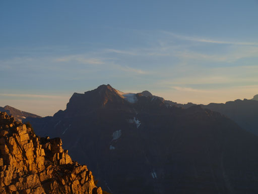
Fryatt, Lowell, and Brussels

Oh yeah, this is “Fortress Col”
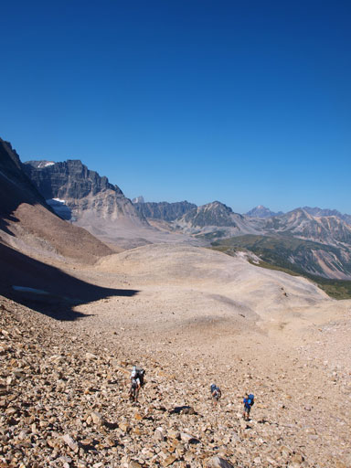
Slogging, slogging.
Almost there.
Eric cresting over Fortress Col
Looking over Fortress Col
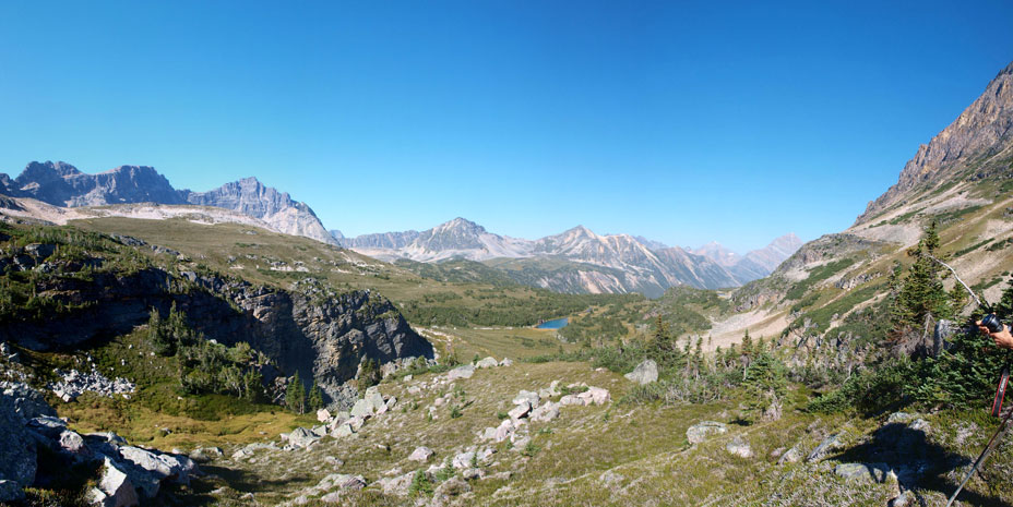
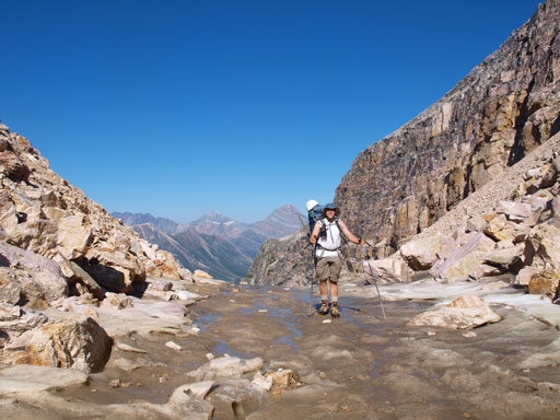
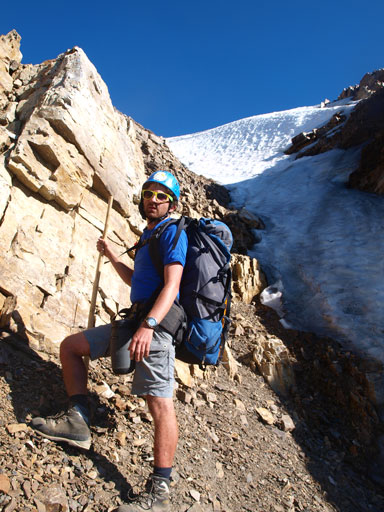
Once on the other side of this Fortress col, a new world appeared in front of us. The terrain changed drastically from awkward rubble/boulders to pleasant grass/meadows. We were very relieved to finally escape from the terrible terrain that we just covered. There are also two alpine lakes at this valley but they’re much smaller and farther away from Fortress Mountain so we pressed on. We made a big mistake not filling up our water bottles since once we started the long side-hill traverse, we were away from water sources for hours. We eventually managed to traverse all the way to Fortress Mountain’s southwest slope without losing too much elevation. We were very dehydrated and tired but decided to press on hoping to find water somewhere on this dry slope. We knew there’s a glacier on the summit so the worst case, we could get some water from the top.
Looking back towards Fortress Col
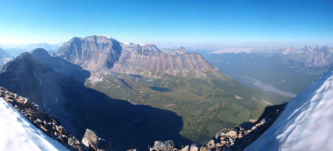
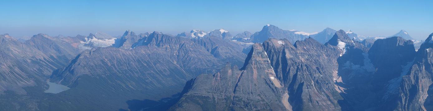
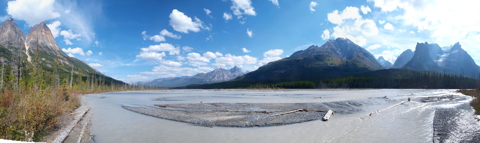
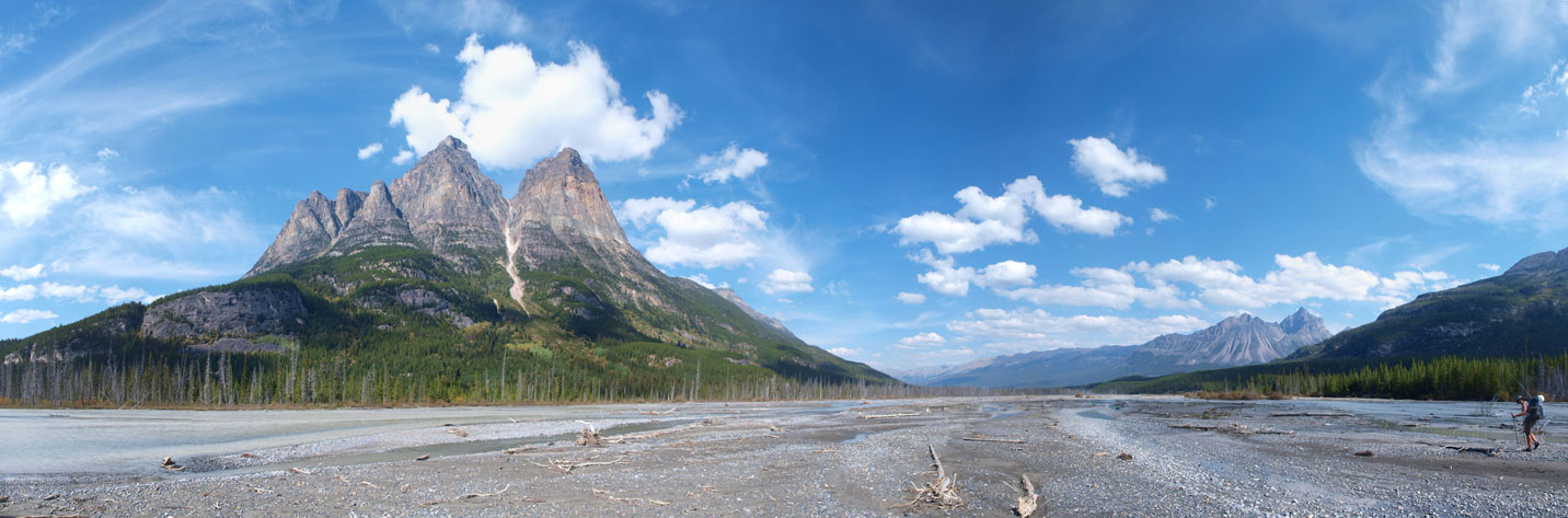
Panorama of this (wider) valley. Fortress Creek goes down this valley
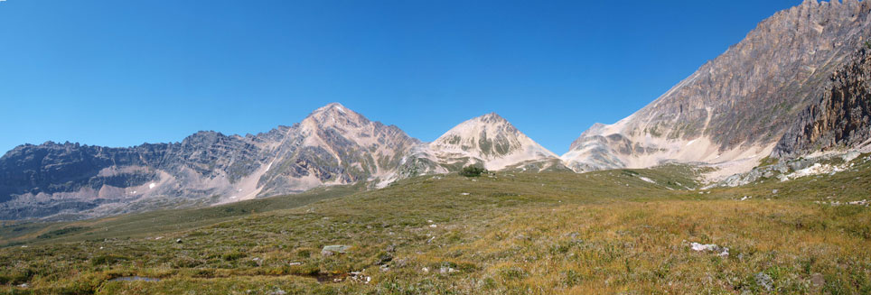
Another panorama of Fortress Creek Valley

Long side-hilling brought us to Fortress Mountain’s base
What appeared to be quite complicated turned out to be pretty straightforward. After ditching all of our heavy gears, we gained elevation quickly up a big gully. Just like the one we used on Catacombs Mountain, this gully brought us up avoiding all of the major cliff bands. I haven’t mentioned the looseness but speaking technically, this section is easy. However, in a group of 5, gullies like this one are dangerous. We always stayed on one side avoiding being directly on top of each other. Not far up we came across some water which was a huge relief.
This long gully eventually brought us to a steep snow slope. We avoided it on it’s climber’s left overcoming loose moderate to difficult scrambling terrain. The view opened up once getting through this section, but at the same time, the difficulty increases as well. It was difficult scrambling for the next short section but soon, we were looking at an intimidating ridge ahead. The colour and the shape of this ridge section reminded me the north ridge of Assiniboine. After some discussion we decided to attack it head-on. There were some climbing moves on firm rock but overall it’s easier than expected. We would soon top out on the summit ridge with fantastic views opening up towards each direction. Looking back towards Catacombs was very satisfactory. Yes, we were up there one day ago!
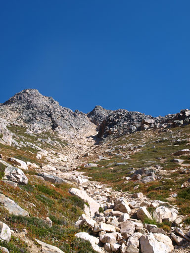
Looking up our ascend gully. It’s the leftmost of all possible gullies
We eventually found water here.
Oh look at this gully..
Loose and steep
Liam. Note the snow patch I was talking about
Now what.. We decided to attack it head-on
So the climb starts
Exposed, but solid rocks
On the summit ridge, looking at Catacombs and the valley we were travelling through the day before
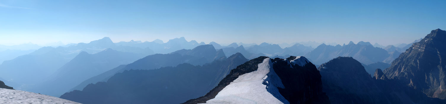
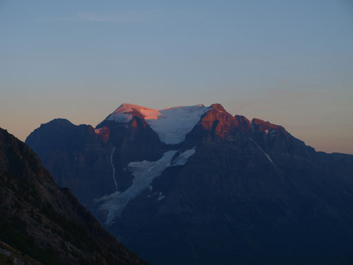
Traversing the summit ridge went easy but took us quite a while. During which we got excellent view of this “summit glacier”. There’s a big cairn on the top and we were the second party signing the register. It was placed by Glen Bole’s party in 1998. Apart from this register and the cairn, we found no human activity during the entire ascent. We are the 3rd recorded ascent party on this mountain but I’m sure someone had been up there at sometime, and they just didn’t report it. Oh whatever, not many people had been up there and that’s for sure.

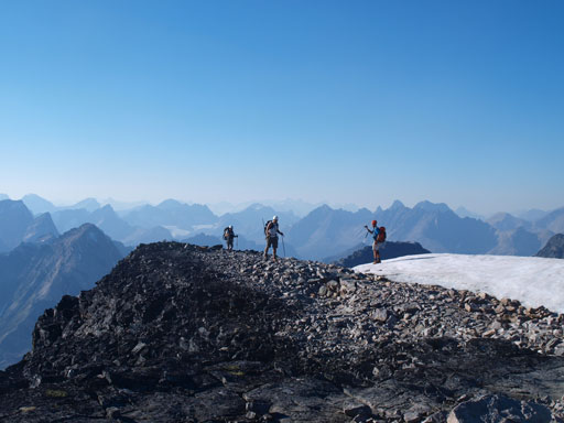
The broad, but long summit ridge
Looking back

True summit seen from false summit
This pool of glacial melt water was beautiful

Looking back towards the false summit

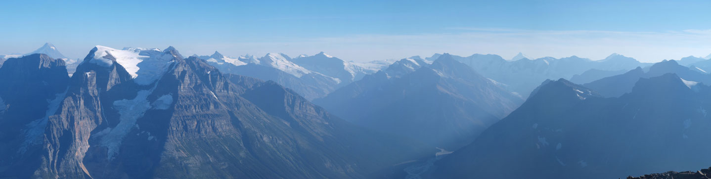
Panorama of Chaba River Valley

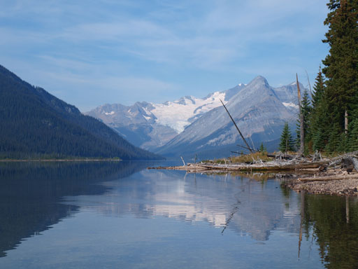
Panorama of Fortress Lake

Looking over Icefield Parkway towards the distant Brazeau Icefield area
Sir Winston Churchill Range and the familiar 11,000ers in this range
Looking up Chaba River to the distant Clemenceau Icefield area
And, Hooker Icefield area
Tusk Peak and Mount Clemenceau
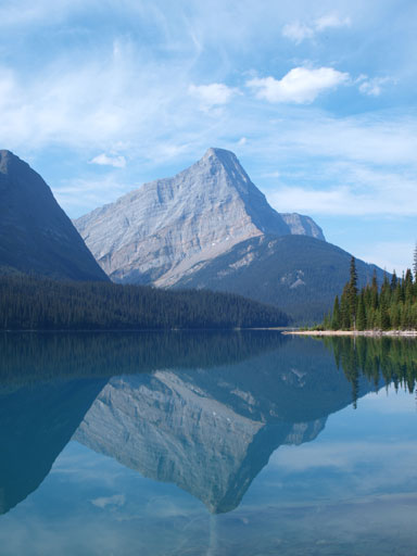
Gong Lake
Mount Quincy
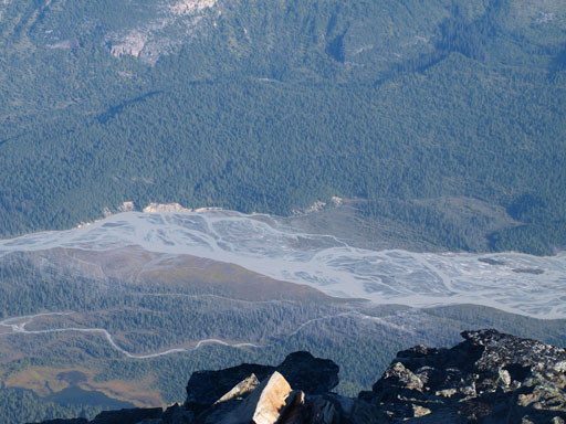
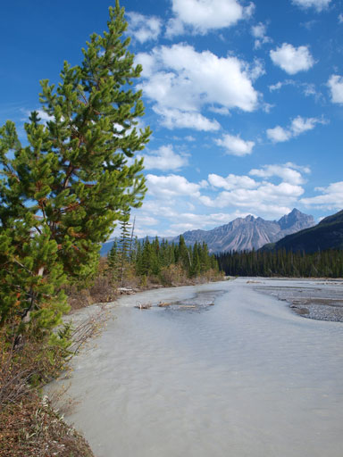
The braided Chaba River
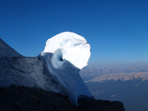
Very interesting snow formation
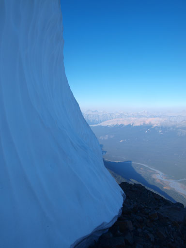
Cool photo
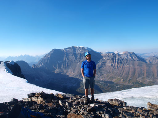
Me on the summit
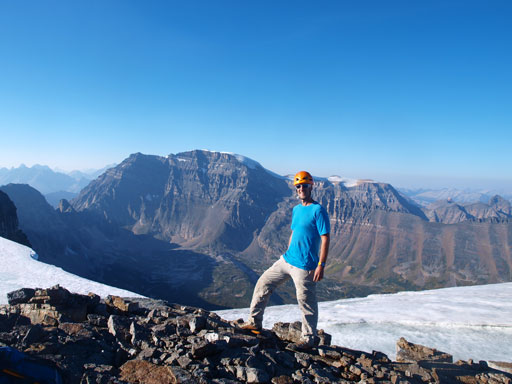
Vern on the summit
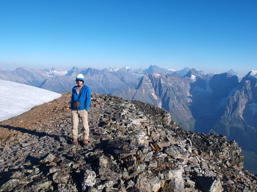
Liam on the summit

Entry from the grizzly group in 1998
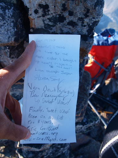
Our entry in 2013
After soaking in the views it was the time to descent. We decided to bypass the climbing section using a wide ledge. It looked long and tedious but worked well. This ledge is moderate to difficult scrambling only. Back to the major gully, we stuck extremely close to each other. Nobody got hit by big rocks and since the gully was mostly scree, we were off it quickly. By the time we made back to where we ditched our bivy gears, the sun had already set. We struggled back down to the creek floor hoping to find a prime bivy spot but failed. The bivy spot we found was not very level, but does offer good views, so that’s it. Now it’s the time to enjoy a well deserved dinner!
We bypassed the difficult ridge by traversing a broad scree band
A closer look at Ben traversing this band
Descending the main gully
Vern down-climbing a challenging step

Almost sunset time!
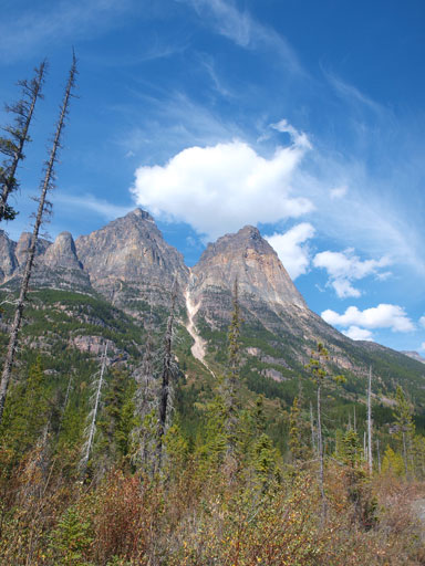
Mount Sadleir
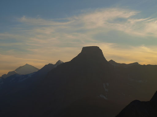
Chisel Peak
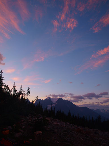
Panorama at dusk
Looking back up the main gully
Evening glow on Mount Quincy
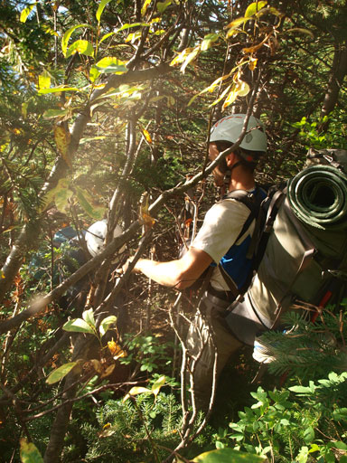
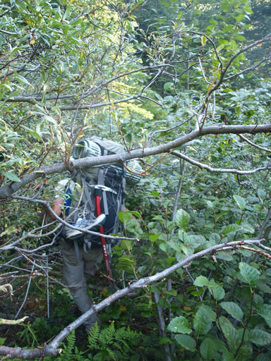
The last day was simply de-pproaching. Sounds easy and light? NO! We were very glad we pushed on to get Fortress on Saturday otherwise it was gonna be a nightmare for our Sunday. The first thing to do after packing up was bushwhacking down to Fortress Lake while following Fortress Creek. Only 2.2km to go, and downhill, so how bad can it be?! Oh well, we would learn it soon. Sustained intense bushwhacking for 3 hours… It started with boulders and then grass covered boulders, and then avalanche debris covered boulders, before the bush finally started. It’s about extreme patience and endurance over alders after dead-falls, dead-falls after dense timbers, timbers after creeks, creeks after debris, and then back to alders, and so on. It was an extreme relief to finally hit Fortress Lake, and also another relief to see the trail on this side of the lake being still well-maintained. It’s not marked on any map.
Morning colours from our bivy spot
The descent started with boulder hoping

And then, debris negotiating

More debris

The creek is pretty neat actually
Into the bush…
Ben bashing through the alders….
More alders….
Vern hoping dead-falls, one after another…
Crossing the stream again, and more dead-falls

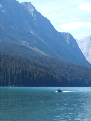
Finally down to Fortress Lake.
Serenity Mountain on the edge of Hooker Icefield
The impressive Chisel Peak
Now what, a near 30km death march back to the car. It’s mostly on flat terrain but I break it down to different sections. The first section was obvious contouring around Fortress Lake to its east end. We took a short detour to Fortress Lake Campground which proved to be very worthy. We met two guys running the fishing lodge and they provided us crucial information for future trip planning in this area.

The Lake, Chisel Peak, and Serenity Mountain

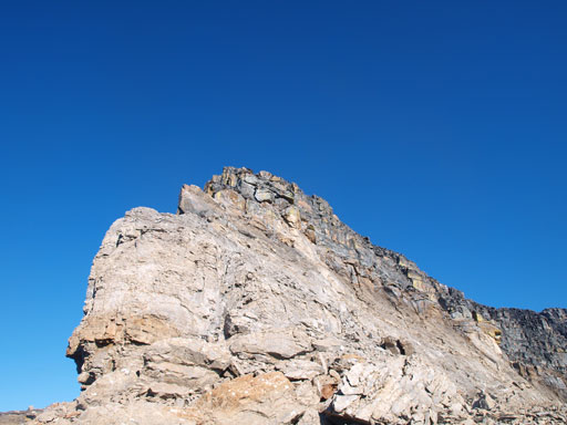
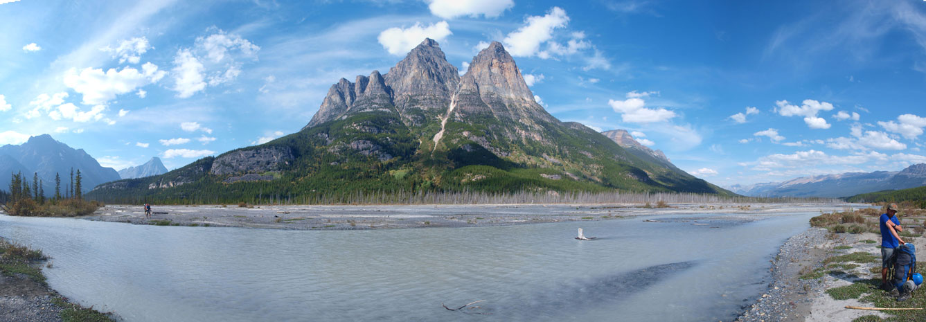
Fortress Mountain
These guys run the fishing lodge. Expansive but luxury lodge!
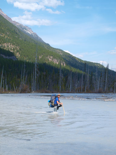
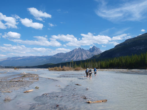
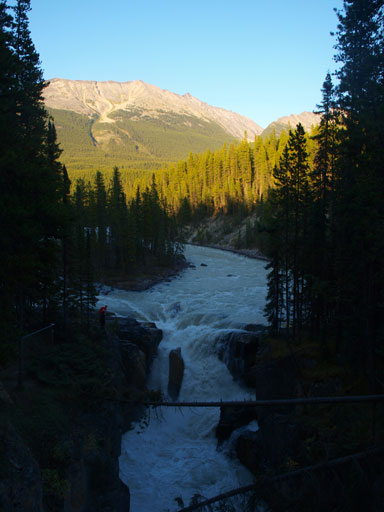
Back to the main trail, we were looking at the Chaba River crossing. It looked ridiculously high. We kept following the trail to a big yellow sign. Here’s where we were supposed to cross. Don running shoes, the first channel was the major one. We had to select route carefully to keep it thigh deep “only”. On the bright side, the water wasn’t as cold as on our way in. Back to the trail again, the rest was a pure foot-numbing death march back to Sunwapta Falls parking lot. There’re only a couple viewpoints including Athabasca River Crossing, the Big Bend Campground, and then, the Sunwapta Falls.
Now comes the Chaba…
Ready to cross!
Looking up to Fortress Mountain

A closer look. Can’t believe we were up there!
Liam searching a way through the major channel
Panorama from the middle flats
Crossing another channel
Panorama from the other side

Crossing Athabasca River

The old wood bridge
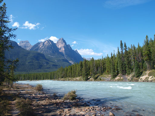
Dragon Peak and Athabasca River
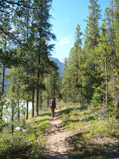
The hike out…
Finally, back to Sunwapta Falls. Tourists thought we were strange.
Our round trip time was 70 hours exact, car to car. It was a needless to say, very satisfactory trip with good friends. This year is pretty epic so far, and yes, another big trip adds to the list.
