Mount Wood
February 5, 2022
610m
Vancouver Island, BC
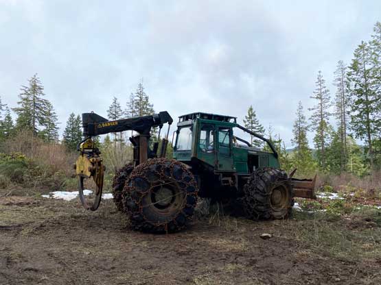
Mt. Wood was the last of the five peaks that I bagged on this past Saturday on Vancouver Island. This was the least attractive if looking at the maps, but turned out not as bad as I thought. It was still a “dumpster-diving” objective but just wasn’t the most dumpster-ish out of the five. This peak is the highest in a piece of woods immediately to the north of Malahat Pass and Spectacle Lake and subsequently boasts over 300 m prominence. The area is riddled with logging roads, but most of them are gated. Having a bike is the key to have some fun on objectives like this. Earlier in the day I had bagged Prevost, Big Sicker, Maple and Tzouhalem all with the trusty fatbike. I was already beat but I still had some daylight time and I must make some use of that.

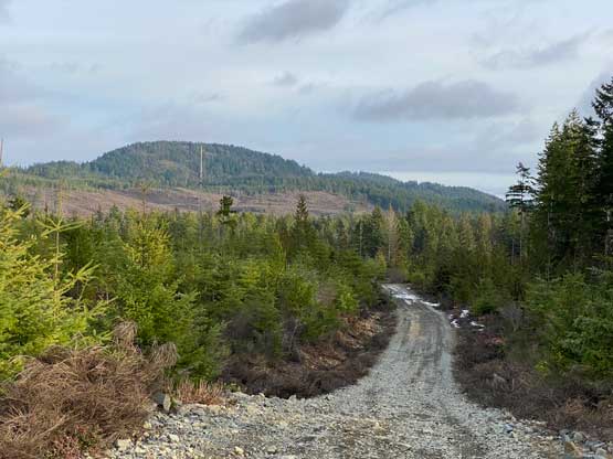
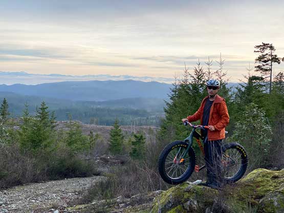
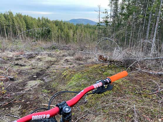
I followed Google’s direction to drive over Malahat Summit onto the paved road heading towards Spectacle Lake Provincial Park. I veered left just before the lake and parked in front of a locked gate on the FSR system that I planned to take. From here I had about 6 km of riding to the summit of Mt. Wood, which was not as short as I had hoped for. Immediately after passing some junctions I saw ATVs and trucks coming up from another spur so there must be a way to bypass this stupid gate. I wasn’t complaining as biking was just as fun. After gaining about 30 m elevation I had to lose close to 80 m. The downhill stretch was fun on the way in, but would be frustrating on the return. From the lowest point I turned left and rode/pushed the bike up some rougher roads eventually to the west and north-west of Mt. Wood. I encountered intermittent snow patches near the top. I parked the bike directly to the north of the summit and made a quick dash to check out the true summit, which required some bushwhacking up through a cut-block. The view from the true summit was next to nothing so I quickly descended and rode to the east side of the summit where a communication tower structure was located. There were some views from this spot so I stopped for a short break.


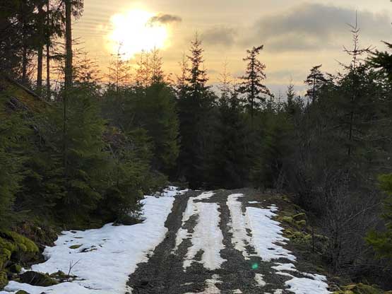


I had less than 20 minutes before sunset so a total of slightly over half an hour’s daylight, so I had to hurry up on the descent. I decided to take a short-cut via a trail labelled on my map. I did not get as lucky as on Mt. Tzouhalem as the trail was in some very poor conditions with lots of dead-falls. I still managed to ride as much as I could to reach the spur road about 50 m down. Unfortunate this spur road was overgrown and difficult to ride on as well, but I did my best to not slow down too much. I eventually rejoined the major FSR and had a furious ride down to that low point. The 80-m re-ascent was very tiring and I eventually got back to the truck just before head-lamp time.

I checked the ferry status and made a spontaneous decision to rush to Victoria to catch that 7 pm ride back home. I was counting on taking the 9 pm ride, but it seemed like I had a good chance to catch that earlier ferry. I drove the whole way to Swartz Bay terminal faster than I normally would do, and made there with about 15 minutes of spare. Fortunately the line-up was not too bad so I did get onto this ride. I had a massive dinner on the ferry and eventually got back home after 9 pm.
