Silwhoiakun Mountain
July 5, 2026
1870m
Kamloops, BC
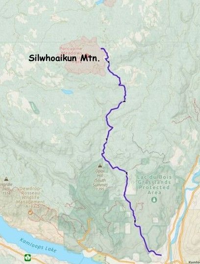
Silwhoiakun Mtn. is the highest point on the large plateau NW of Kamloops and the sole reason why I bagged it was the P600m status. The entire trip is mostly about driving as one must drive ~1.5 hours on a series of FSRs to get there, whereas the “ascent” is nothing fancier than a 20-min bushwhack. There’s no view from the “true summit” whatsoever and this outing falls completely into that category of “dumpster diving”. It made no sense to solely aim for Silwhoiakun Mtn. for us coming from Vancouver and in fact, it makes sense to squeeze it into a driving day. Erica and I tagged it on the way to the Purcells and I thought it was actually quite “fun” to break the 10-hour drive this way.
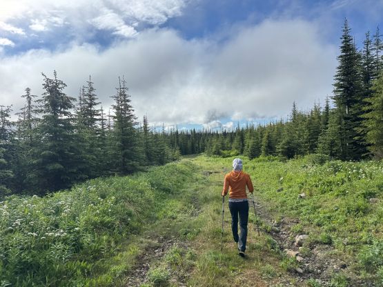
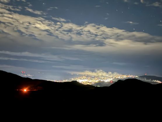
Instead of leaving in the morning of the approach day we opted to leave the evening before, and made quick work to Kamloops. The decision was to car-camp on Silwhoiakun Mtn. and we might as well push all the way to the “end”. There are better places to camp such as near Pass Lake but I didn’t want to deal with the unknowns in the morning. In fact, the roads beyond Pass Lake were in rougher shape than anticipated and the driving was significantly slower. There were a ton of pot-holes and puddles. Clearly this area hadn’t seen any recent logging activity so it’s not the “highway” described in trip reports years ago. Nevertheless in about 1.5 hours I got us from Kamloops to the end of the road or at least where the hiking GPX tracks started. With a truck I could have pushed further up the spur road to the absolute “drivable end” but in a Subaru it made sense to park in front of the last ditch before the final spur road, which was honestly quite deep. The vegetation was very wet but let’s worry about that in the morning.
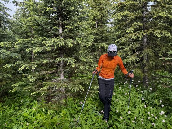
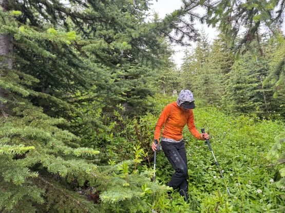
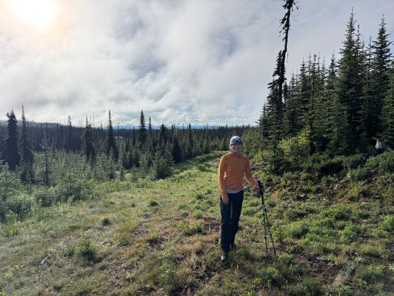
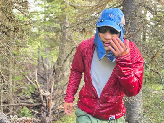
I calculated that in order to be in Radium Hot Springs by 3 pm (Albertan time, unfortunately) we would have to get up at 5:30 am. Unfortunately I was too spent for that so immediately turned off the alarm once it went off. Fortunately Erica was awake so we didn’t start that much later than planned. I had come prepared with spare shoes, pants and t-shirts so I didn’t give a fuck about getting wet, but Erica would have to rely on drying the shoes off in the next 6-7 hours in the vehicle. This was one of the wettest bushwhacks I’ve ever done, and I was completely soaked within minutes after diving into the bushes. The thrashing was never too think but was also not a “walk in the park”. The navigation was also tricky that I had to constantly consult with the GPS screen. My phone’s also acting up as the water got onto the screen, so I essentially held the phone in my hand and navigated us to John Stolk’s end point. There are probably other contenders within the highest contour line but honestly for a shitty peak like this, I couldn’t care much. If John called it “good enough” here then we felt legit to do so as well.
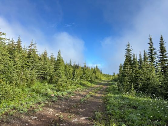
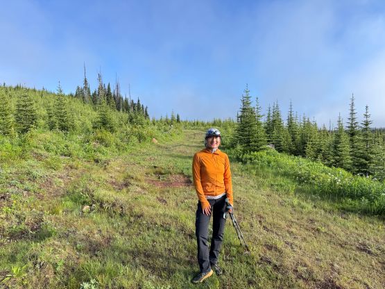
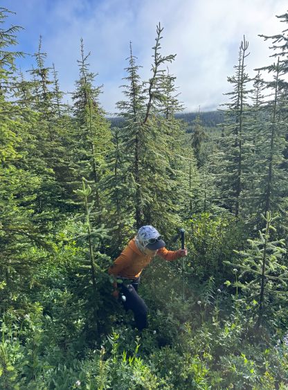
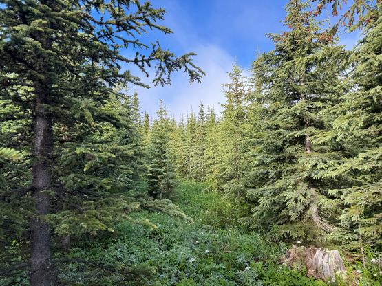
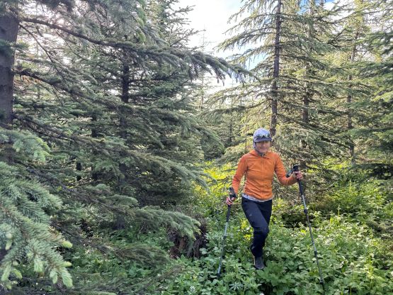
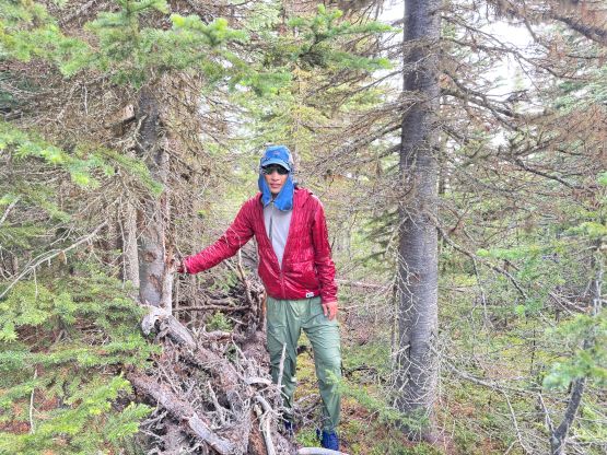
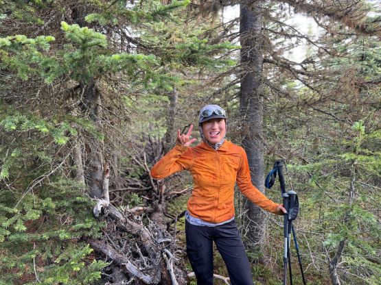
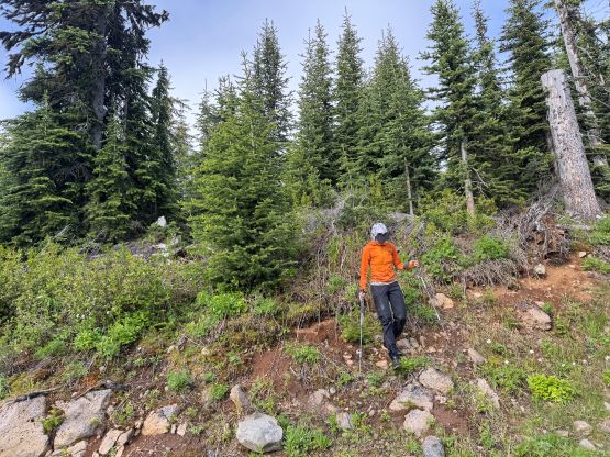
Wasting no time I led us down and the terrain forced us to take a slightly different line. There were still some up-and-downs and fair amount of bushwhacking, so I don’t know if there’s a better way or not. In any case, the thrashing was short enough that peak-baggers shouldn’t get bothered by much. After jogging down the spur road we changed our cloths in the vehicle and then drove down to Kamloops for a late breakfast in A&W.