Darling Peak
May 23, 2026
2323m
Squamish, BC
There had been some confusions about the location of Darling Peak but there shouldn’t have a reason for that. This is the highest peak of the series of spires on the western edge of Mamquam Icefield with over 100 m prominence, and the status of the name is official. Bivouac.com had messed this up and Google had since adopted the Bivouac’s names. The names had been corrected in the Bivouac’s database but Google had never made a change, so some might refer this peak as “Mirage Peak”, but they shouldn’t. I personally was only aware of one previous ascent by Alexandru R. back in March 2016 and the climb sounded rather spicy. I’m sure that it’s been climbed much more frequently, but in the peak-bagging circle especially on the internet this is a very obscured objective. In any case I had climbed Mamquam Mtn. back in 2015 and I was never too keen to go back due to the arduous approach, but when Tanja and Elise made the suggestion to day-trip Darling Peak I thought it’s finally my time to come back.
It’s been 10 years since Alex’s trip and there still had no beta whatsoever from anyone else. Alex did it in the early season conditions entirely on snow, so I wouldn’t expect the same situation for our trip. Not knowing what exactly to expect we decided to bring two 30 m ropes, several pickets, a single rack of rock gears, steel crampons and two ice tools each, and we ended up using most of them except for the pickets. In retrospect it wasn’t as hard as I thought and I could have soloed it (and did do the down-climb solo without protection), but I always prefer to be prepared for almost “anything” than not having sufficient equipment. The weather forecast had downgraded such that most models converged with low/mid level clouds rolling in at 6 AM. There’s still that narrow window right after the sunrise and ideally we wanted to be on the summit in that time frame. I thought the clouds wouldn’t be rolling in that quickly so made the decision to leave Squamish at 1 AM in order to start hiking 2 AM. In retrospect we should have started an hour earlier and if we did so we would have gotten some nice views. Oh well…
Elise and Francois opted to drive to Tanja’s house in Squamish the day before and the three of them planned to sleep no later than 9 PM. I, on the other hand, wouldn’t be finishing work until 9:30 PM and that’s in White Rock, and I still hadn’t shopped for food yet (as I wasn’t sure if we actually would pull the trigger given the questionable weather forecast). I didn’t finish packing until 11 PM as a result and there was only half an hour left so I didn’t even bother to try to sleep. To further complicated things the Stal̕əw̓asəm Bridge had been closed for the night so I had to make a detour to Port Mann Bridge which added almost 10 minutes. There was thankfully no further delay driving to Squamish. The climber’s parking lot at the base of the Apron was closed so I simply left my car on the side of the Mamquam FSR and then squeezed into Tanja’s 4Runner. The road to Watersprite Lake’s summer trail-head was rougher than I thought so the FSR driving indeed took almost an hour, but we did manage to start hiking minutes before 2 AM, as planned.
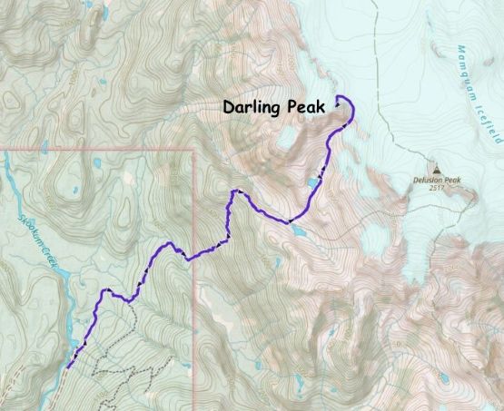
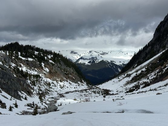
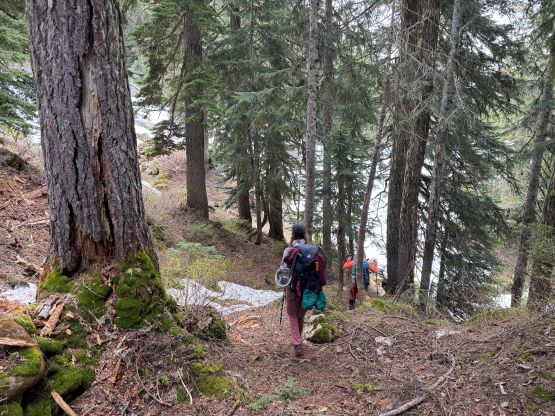
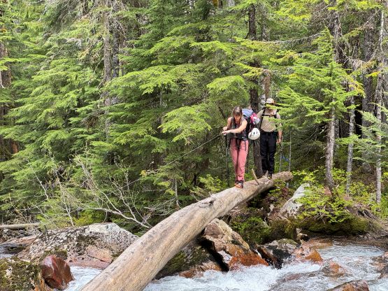
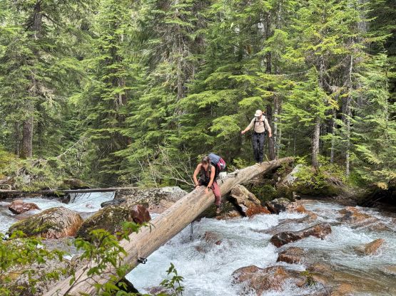
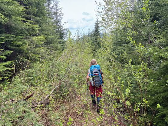
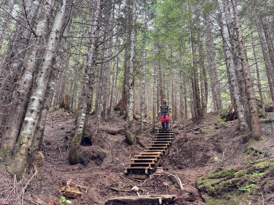
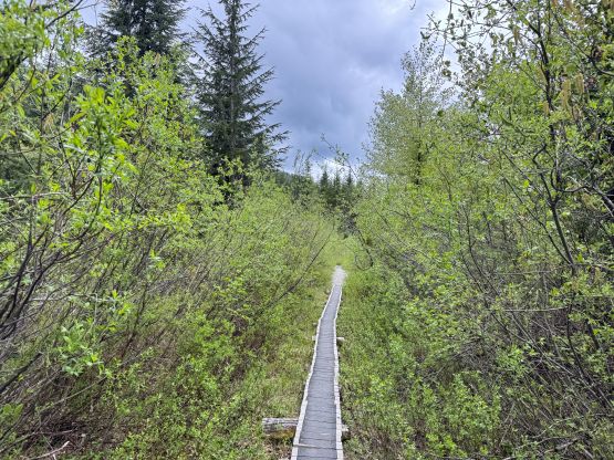
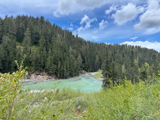
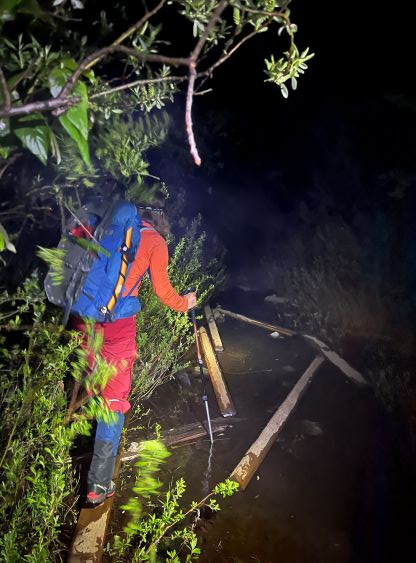
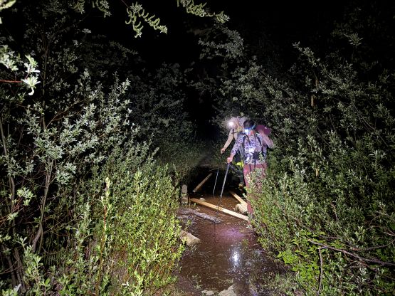
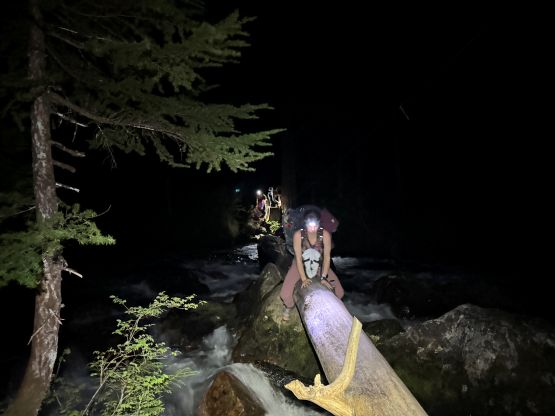
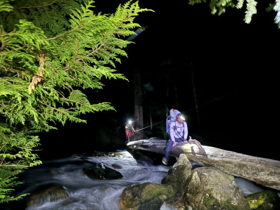
Tanja and I took turn leading the pace and sometimes I prefer to be not leading in front as I was mentally tired from the all-nighter push. A few creek crossings were missing their bridges on the Watersprite Lake trail but with carefully balancing we didn’t wet our shoes. The decommissioned (and probably illegally built) trail towards Darling Lake was quite overgrown until the crossing of Paranoid Creek. It was basically a bushwhack on a trail and we were thankful that the bushes were mostly dry. The log crossing of Paranoid Creek lived up to its hype. When I did Mamquam Mtn. the government hadn’t forced the removal of that bridge so I had an easier time. The crossing now required some serious au-cheval techniques. It sure properly woke me up so I wouldn’t complain. The next 600 m gain to the “Manic Ridge” was surely a grunt, and there’s no snow until 1600 m elevation just before cresting the ridge. The three of us on trail-runners then took another break swapping the footwear. The snow was mushy as there had been no overnight freeze whatsoever, so in less than a minute of post-holing we all decided to strap the snowshoes on. I even considered leaving the snowshoes behind while planning this trip as we knew one group did that in the past week, but I was dead glad we didn’t listen to their “advices”. The conditions change from day to day at this time of a year and we must assume for the worst. Tanja and I then took turn leading the side-hilling descent to the outflow of Darling Lake. This part of the route was confusing with lots of micro-terrain, but the general bearing was obvious. The creek draining from the upper lake was flowing quite fast so I resisted the temptation to load up the water bottles, and that’s the right decision. About halfway up the gulch feature leading up towards the upper lake I found a very neat stream of running water, and that’s the best source. Meanwhile the horizon had become brighter that we no longer needed the head-lamps, but it was also apparent that the clouds were indeed closing in. The tips of Atwell/Garibaldi were already starting to disappear.
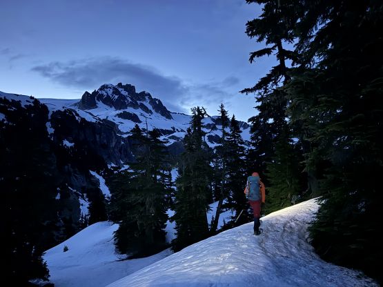
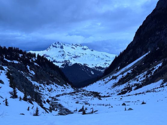
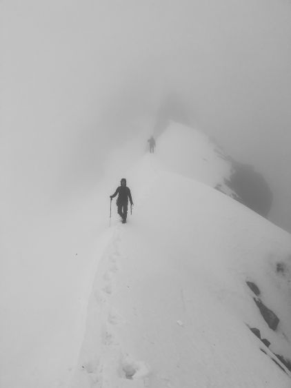
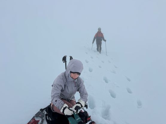
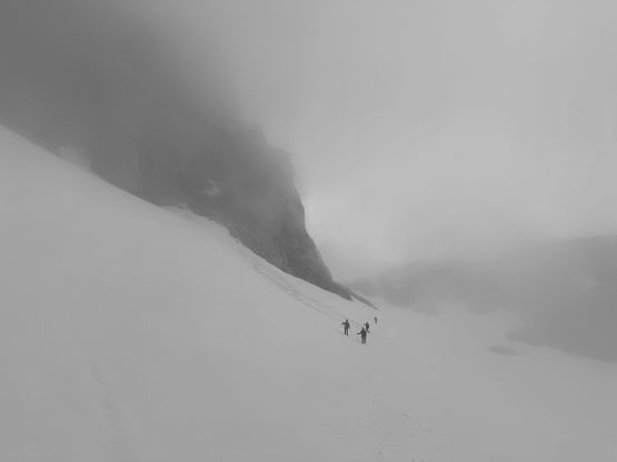
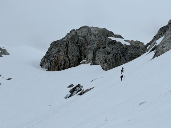
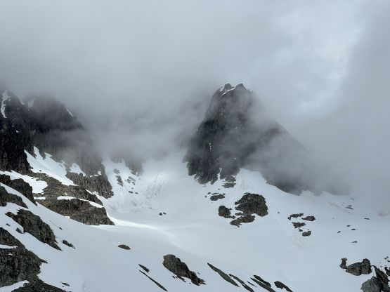
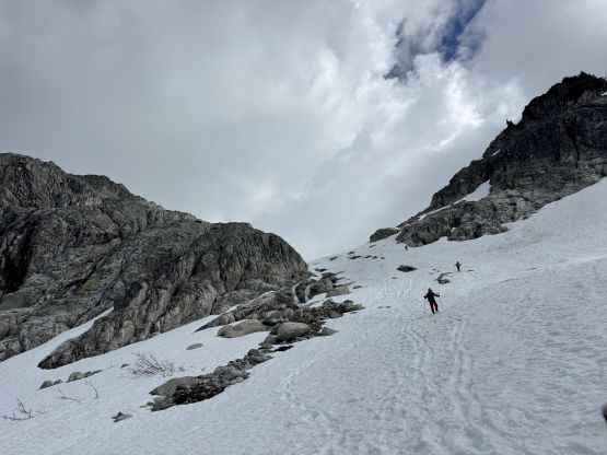
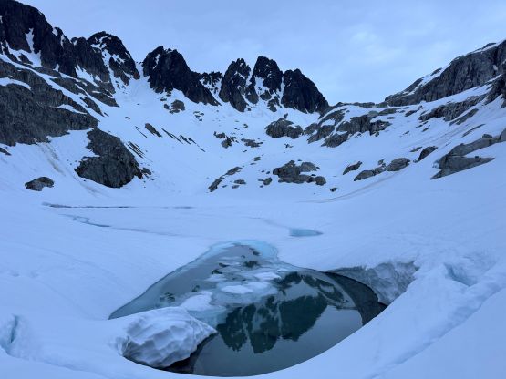
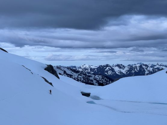
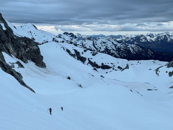
Plodding up to and past the upper Darling Lake was quite scenic as the lighting hadn’t faded away yet. We could still see our objective looming in front, and even some morning colours behind. We picked up some old snowshoe and boot-packing tracks and mostly followed them all the way to Mamquam/Darling col. At one point I deviated from their tracks as I could see some waterfalls running underneath a gully feature that they had used. Instead, I led the way up and around on climber’s left, followed by a long stretch of side-hilling traverse to the gully leading to the col. The winds picked up and the cloud layer had dropped. We still had visibility but it was not looking promisingly. I waited for everyone to catch up and donned some layers. I then led us ascending some gentle slopes towards climber’s left and mostly used GPS to navigate the roundabout route onto the north ridge of Darling Peak. Once ascending into the ping pong ball the visibility had dropped to zero, and it was not possible to go anywhere without constantly staring at the GPS screen. Thankfully the route didn’t involve some complicated glacier travel. At some point I could see a rock bulger and aimed towards that. A few moves of “technical snowshoeing” later we all made to the north ridge. We got a glimpse of view for the next 100 m ahead and made the decision to ditch the snowshoes for crampons and ice tools.
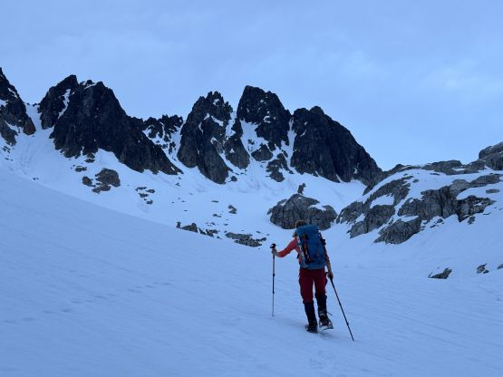
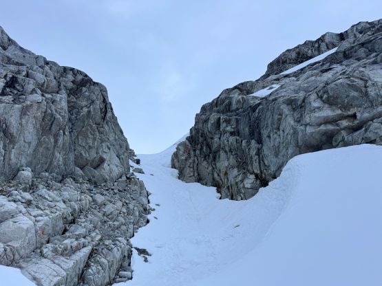
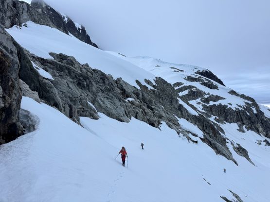
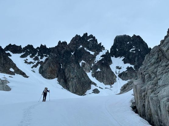
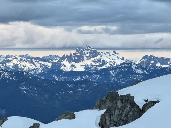
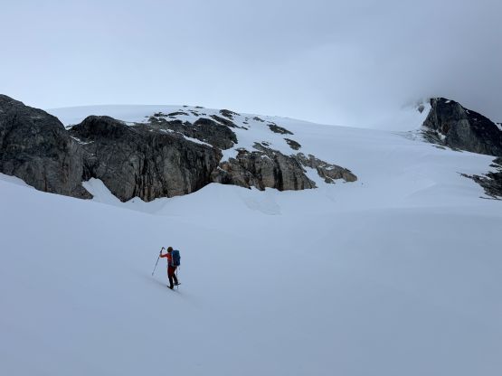
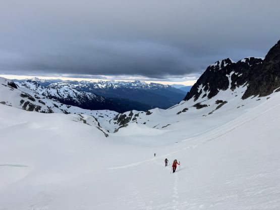
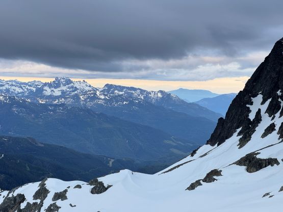
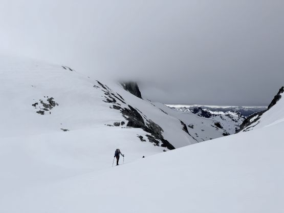
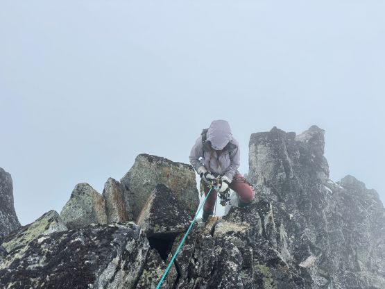
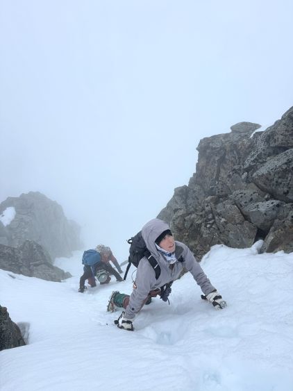
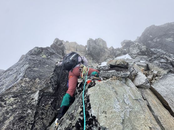
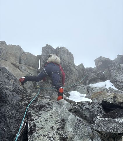
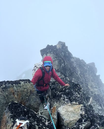
There was some post-holing across a flat-ish ridge before the spice level picked up. It seemed like there’s a snow gully on the climber’s left and I assumed that’s how Alex did it, but to get into the gully required one 4th class step. It was a bit awkward to make the transition given the mushy snow conditions. I then took the 2nd tool out and led the 45+ degree snow climb to the base of the rock pitch. The middle part of this gully was already thinning out so in another week or so it would become even harder. The pitch of rock didn’t appear terrible but the quality of the rock was quite bad, so after a bit of discussion we decided to properly pitch it out with Elise leading. There was no evidence of previous party (no sling etc.) so we had to build our own anchors and place our own gears and we ended up using most of the rock gears that had been brought. The three of us then took turn climbing on the microtractions. The pitch felt like stiff 4th class with a few harder moves mostly to avoid knocking choss down on each other, and we all did the climb with crampons but without gloves. There’s still a bit of traversing to reach the highest point but no further difficulty laid ahead.
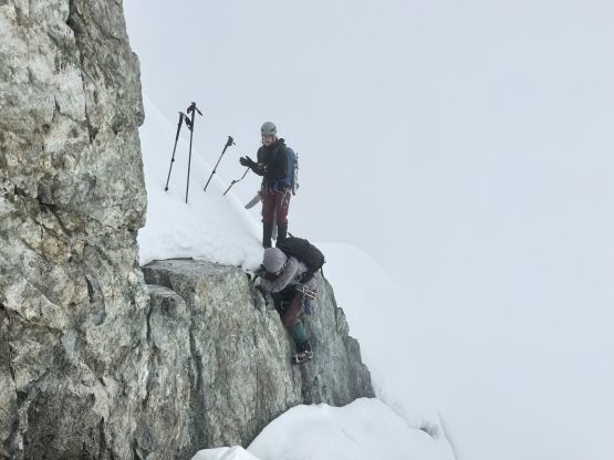
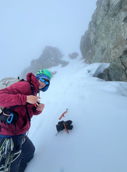
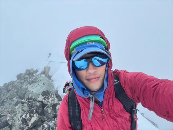
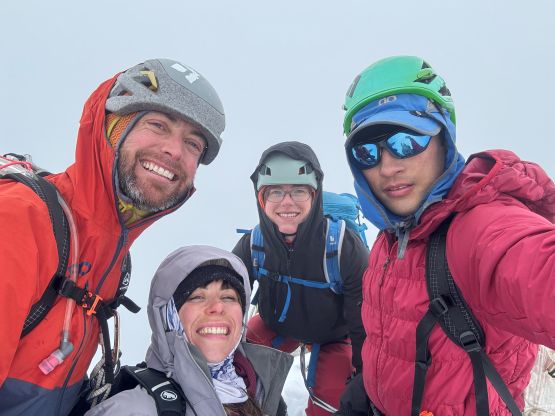
It wasn’t very obvious how exactly to get down this mountain. Elise had built a bomber anchor but it would definitely create some rope drags. Nevertheless it’s better for the three of us to rappel and the final decision would be left for the 4th person (myself) to make. The three of them rapped on the single strand and I decided to also rappel so I took the second rope out. Unfortunately the ropes got stuck as expected. I firstly were forced to rappel the ridge as the wind carried one of the rope over that way and that rope got stuck. I then climbed back up and rappelled the climbing pitch, and had to climb back up again. I eventually decided that after doing this pitch three laps I was confident to down-climb it without a belay, so just coiled the ropes and did that. The bonus of down climbing was not to leave anything behind. It had taken us about an hour to figure out the descent so we were all getting quite cold in the clouds, so we down-climbed the snow pitch and made some quick transition to get back onto Mamquam Icefield. We met 4 others in two separate teams coming back from a failed attempt on Mamquam Mtn. and given the white-outs I wasn’t surprised. We did get out of the ping pong ball until halfway down towards the upper lake so the cloud level definitely dropped, but there was no precipitation just as forecasted. We took another long break above the second lake before making another single dash back to where we ditched the trail-runners. The rest of the descent was uneventful. The log crossing seemed to be dry on the return so I just walked across while holding the rope as a handline. The others still did the au-cheval thing. Our round trip time was almost 11 hours but the moving time was under 7 hours. Most of the time was wasted doing the rope work. The drive home was the crux and I knew it. I finally collapsed after several all-nighter pushes in a roll and took a 3-hour nap on the passenger seat of my vehicle somewhere in North Vancouver before gathering enough strength to embrace the horrendous traffic gong show back to Surrey to conclude the day. It was only a Saturday but the traffic was literally shit. I got home just in time for dinner and didn’t bother to show up at work this time.