Mount Revelstoke
August 15, 2026
1947m
Revelstoke, BC
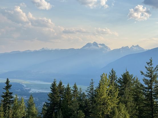
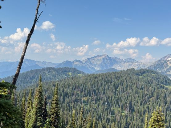
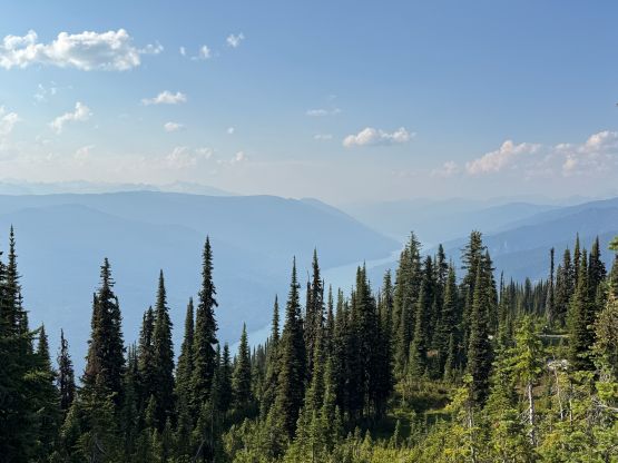
I thought it’s bizarre that Mt. Revelstoke is literally the lowest bump in Mt. Revelstoke National Park but on the other hand, it’s the most accessible pimple for the tourists to visit coming up from “Meadows in the Sky Highway”, so it might actually make sense in some ways. This bump does boast over 100 m prominence to qualify as an independent summit by in the international peakbagging standard, so it does “count”, and it does offer some nice views even though the summit itself is partially forested. I had thought about tagging Mt. Revelstoke as a by-product since I’ve been driving back and forth between the Rockies and the Coast for at least 30 laps in the past decade, but I could hardly find the motivation to make that detour. In the past 6 or 7 years I’ve also refused to purchase the park’s pass which further limited my oppourtunity to tag this objective. I would not pay 20 dollars’ day-pass just for Mt. Revelstoke and I also didn’t want to go up there when it’s smoky as it does suppose to offer some views.
Then all of the sudden the stars finally aligned. Erica and I were budging a full day of driving from Vancouver to Banff and the Parks Canada had waived the parking/entrance fees for about 3 months in the summer of 2026. Despite that, my primary thought was still adding a P600m objective namely Monte Hills into the itinerary. It was however extremely smoky in Kamloops but the smoke started to clear up as we drove eastwards up the familiar corridor. I pulled the last minute trigger on Mt. Revelstoke since I finally remembered that I still “needed” this one. The driving detour was longer than I thought even thought it’s literally “right there” above the main highway. The switchbacks were endless. We also found out that the final kilometer to the uppermost parking lot was closed and that meant we had to hike 1 km each way plus whatever it would take to wonder around the summit plateau. I didn’t quite budget 2+ hours for adding this one in but I also disliked turning around, so let’s do it.
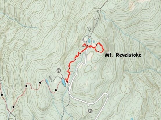
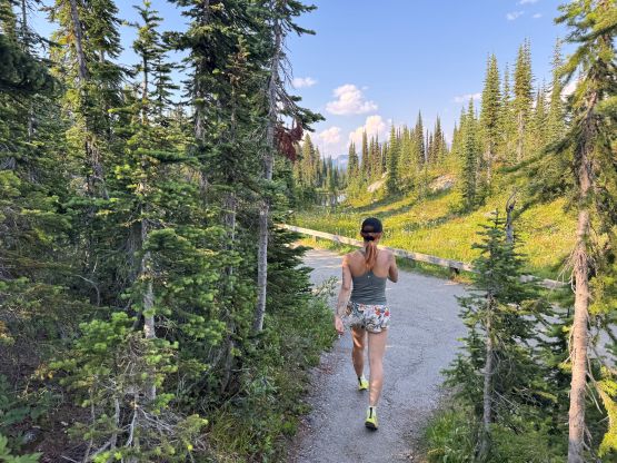
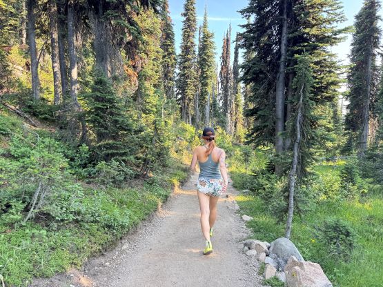
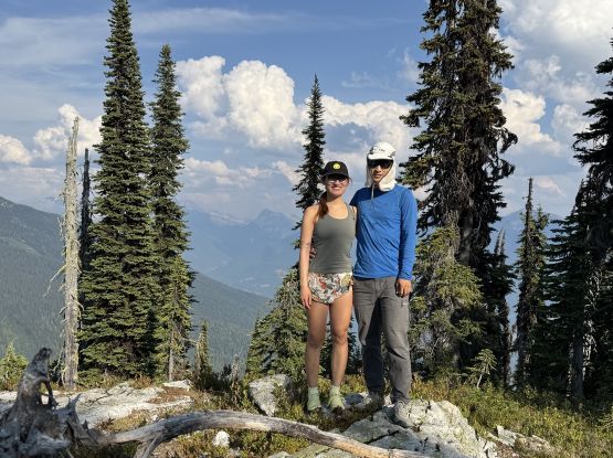
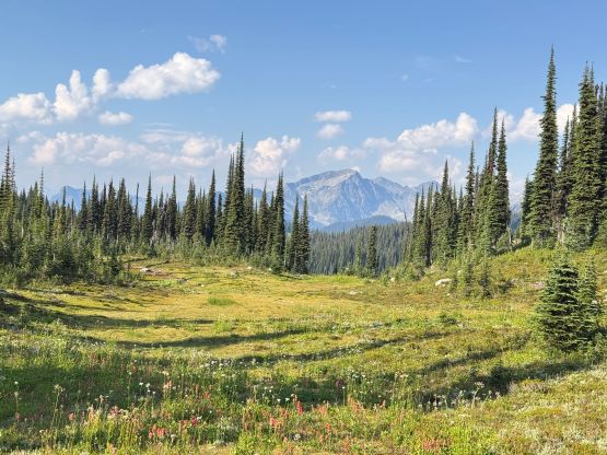
We simply opted to carry nothing but we did have to don sun protection. The trail was honestly better than expected and I could get why this is a popular zone. For those unable to do longer expeditions Mt. Revelstoke does offer some unique experience. The trail traverses around the treeline meadows and that’s probably explains the name of the access road. There are three contenders for the true summit according to the Gaia map with 10-m contour lines, but I was quite certain that the easternmost point is the highest, as suggested by the “dot” on Peakbagger and Gaia apps. Erica and I did a loop to check that one out first but the highest point required a short detour from the trail. We also checked out the SW contender which was rather boring. We didn’t bother to check out that northern one.
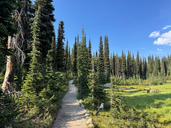
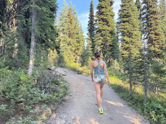
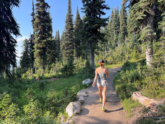
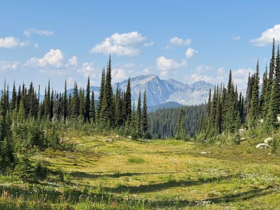
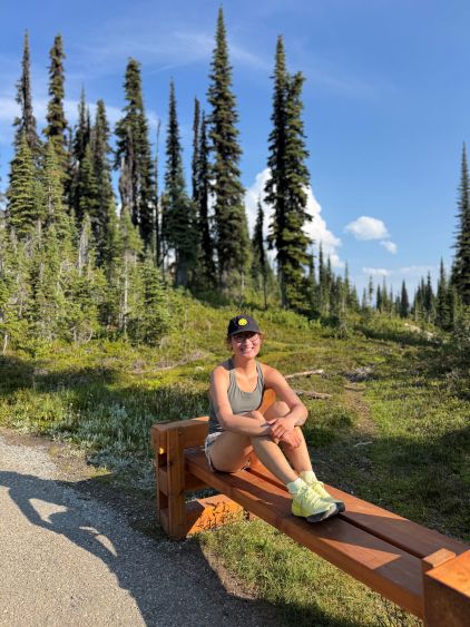
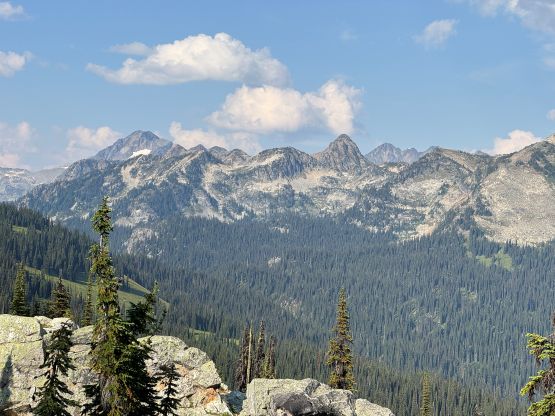
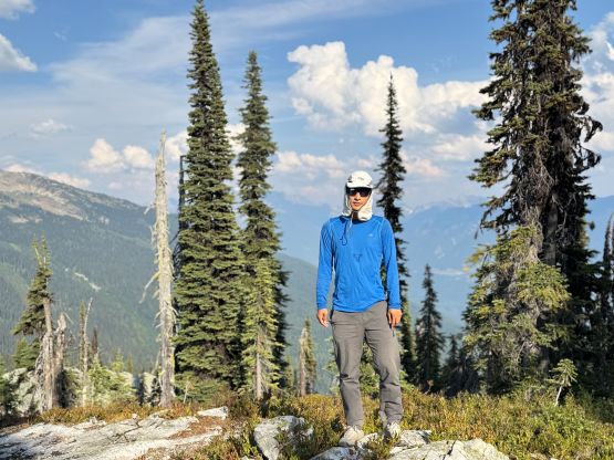
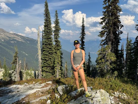
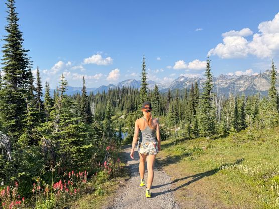
We weren’t doing particularly great on time so that’s another reason to skip the northern contender. On the descent we bumped into a large group who apparently just encountered a bear. We didn’t see the bear ourselves though. Our round trip time was 45 minutes. I then turned on the engine and immediately resumed the eastwards drive towards Banff. There were still several hours of work and we would soon lose 1 hour due to the time change. We did get ourselves to the intended parking/camping spot by 11 pm and I thought that was “acceptable”.