Cypress Mountain
May 3, 2021
830m
Coquitlam, BC
There are three officially-named “Cypresses” in SW BC – Cypress Provincial Park in West Vancouver, Cypress Peak in Whistler and Cypress Mountain in Coquitlam and they are absolutely not related. Thankfully their names are not exactly the same so I don’t have to add brackets to distinguish them. Cypress Mountain is the southernmost forested bump on the long and wooded Eagle Ridge. With only 20 m of clean prominence and absolutely no view from the summit this peak clearly falls into that category of “dumpster diving”. What makes this “peak” slightly more attractive than some other dumpsters is the lack of bushwhacking. There are well-established trails (more used for biking than hiking) although to tag the true summit one still needs to bushwhack, albeit only for 20 vertical meters.
After a series of 300 m ish summits Kat wanted to hike something slightly taller and I suggested Cypress Mountain. It’s one of those easily-attainable summits in Fraser Valley as a before-work exercise that still does not require an early start. The drive is only 50 minutes from White Rock so we left home at 9:30 am. There are multiple trails to get started on the lower mountain and we picked the one that seemed to make the most sense, starting from near Eagle Mountain Park. While driving towards the park we found out that most spur roads were gated so we just parked at where everyone else had parked. This was a little bit lower than anticipated.
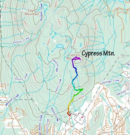
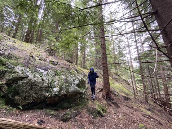
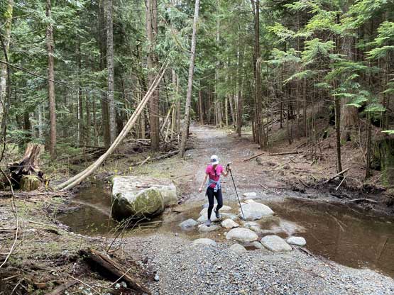
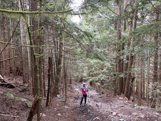
From the parking lot we easily picked up a well-used trail that directed us into the mature forest. A short while later we popped out onto what seemed like a private (gated) road but the trail continued on the other side. Beyond this road the trail did some long rising traverses out towards climber’s right and that brought us to another road at 500 m elevation. This road was unpaved. The rest of the ascent to within 20 vertical meters from the summit was all by plodding up this road. The condition of the road deteriorated past the “south view” junction that the hike turned out to become mostly rock-hopping on rubbles.


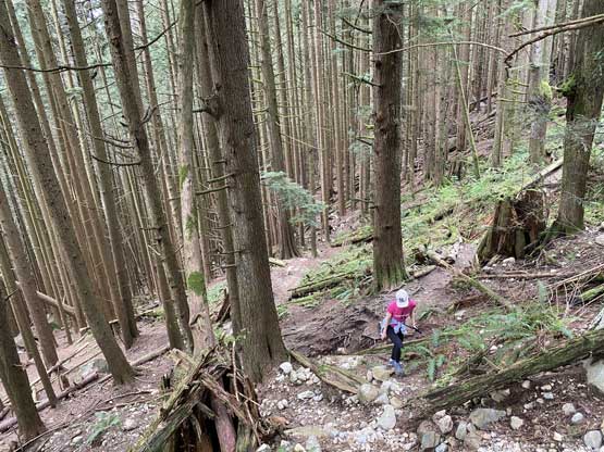


When the road wrapped around to the north side of the summit we started to encounter patchy snow and the snow was not very supportive. None of us brought gaitors unfortunately. At some point I made the call to bail into the forest shooting straight towards the summit and that involved one false summit with minor bushwhacking. The summit was as expected, completely covered in trees with no view to speak of whatsoever. It had also started to raining (as expected) but none of us cared given the lack of views.


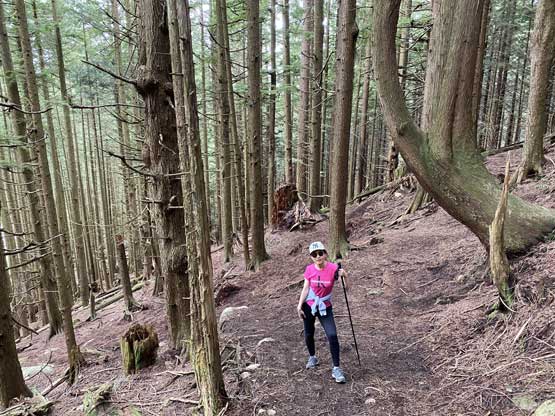
On the descent I led a route traversing a little higher than the old road to avoid the patchy snow so that our feet could stay dry. This worked out perfectly but added a bit of bushwhacking. The rest of the descent was rather uneventful. The light drizzle had turned into raining when we finished the hike but again, none of us cared. We had brought rain jackets and it’s good to put them in use anyway. Our round trip time was just under 3.5 hours.