Wilbert Hills
September 14, 2021
1806m
Princeton, BC
The area immediately to the south-east of Princeton is more used and known for logging and mining. There’s no tourism to speak of whatsoever and if there’s any recreational use it’s almost exclusively hunting and 4-wheel-driving. Wilbert Hills is the official name of the highest point in this area. Looking at the satellite images I realized this “peak” had been riddled with logging roads to within 100 vertical meters from the summit on all sides whereas none of these roads showed up on the Gaia topo map. The lack of Gaia coverage explains that nobody uses these roads for hiking purposes. However, this peak is officially-named so I must go there and bag it at some point. The doesn’t mean it’s “high on my list” but if I happened to be in the area then it’s something I would consider.
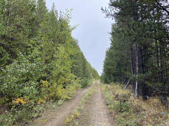
Earlier in the day I had bagged Placer Mountain near Eastgate. I debated about to just drive home afterwards as the weather had turned overcast and I knew rain was on its way in a couple hours, but Placer Mountain was a bit too short as a stand-alone objective. I hadn’t even warmed up yet and the “hike” was over. The drive from Eastgate to the start of Wilbert Hills’ logging road system would take an hour towards the opposite direction of home so I really had to force myself to commit to it. About half an hour later I made to Princeton and soon after that I turned onto Copper Mountain mine road. I was surprised the mining road was actually paved and that saved some time. I soon meet a number of gigantic trucks flying by the opposite direction and that reminded me I should have slowed down. After a number of twists and turns I got onto the FSR system leading into Willis Creek drainage. I had previously studied the map and knew which exact spur road(s) I would aim for in order to drive as high as possible on Wilbert Hills. The road condition wasn’t as good as a few hours ago on Placer Mountain, but by SW BC’s standard I would still call it “decent”. There was no aggressive water bar nor pin-stripping but I could see these roads had been deactivated. However, there must have been enough hunting and off-roading traffic judging by the level of user-maintenance.
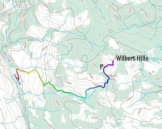
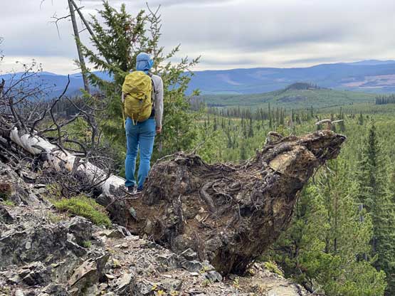
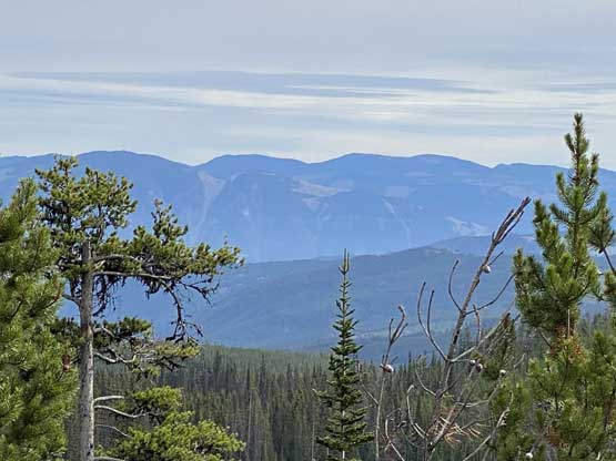
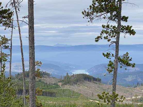
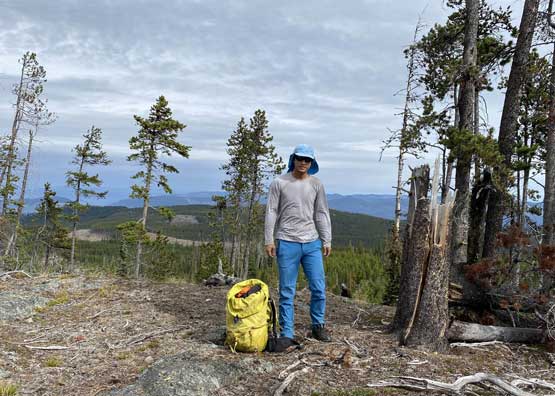
I parked at the start of the final spur road as otherwise I would have driven to within 200 horizontal meters from the summit. I still wanted to “hike” a little bit. After walking to the point on this spur road directly to the south of the summit I bailed into the forest. The clear-cut appeared like a mess but the bushwhacking wasn’t too bad. There weren’t too much underbrush issues. Near the summit I came across a couple small bluffs with open-ish views but the actual summit was forested with minimal views. The vegetation wasn’t very dense thank to the drier climate so I could still see something through the tree branches.


There wasn’t much point in lingering on this summit simply because this was rather a “dumpster-diving” objective, so I quickly retreated. I dashed down through the forest and got back to the truck in no time. I drove all the way here hoping to hike more but ironically I was still not warmed up for the day yet. The drizzle had already started but then I realized Agate Mountain was nearby, so I must press on.

