Mount Cain
August 12, 2026
1819m
Vancouver Island, BC
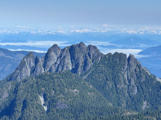
Mt. Cain boasts its namesake ski resort on Vancouver Island but itself isn’t the highest in the vicinity. Mt. Abel about 2 km to the south is roughly 1.8 m taller but that was after these two peaks were measured individually by the Trimble device. The main purpose of this trip with Rob Woodall was to survey the exact elevation of Mt. Cain because Rob had recently found out that Mt. Abel was a few meters lower than listed, which could potentially shift the prominence (>1000m) to the nearby Mt. Cain. We found out afterwards that Mt. Cain was also a few meters lower than listed so Mt. Abel still holds the P1000m status. The main (east) peak of Mt. Cain isn’t a straightforward ascent and there was in fact not a lot of “beta”. I had Phil Stone’s Island Alpine Select and it says the standard route goes at 5.6 climbing. I did know one party who climbed this said route on Instagram and I did get some first hand info from Shaning. It wasn’t very clear where the climbing pitch was but we would treat it as a proper alpine rock objective regardless.
I picked up Rob from Campbell River at 6 am in the morning and we drove 2 hours northwards to the vast land of the “North Island”. The driving direction was for once, straightforward because the route starts from the ski resort. The resort itself was more or less deserted in the summer months. The village was empty and there was no barrier to prevent us from driving higher. I was quite certain that we weren’t supposed to drive farther onto the ski runs but the roads definitely seemed “doable” in the Subaru, at least in the immediate section ahead. I’m always game to make the hiking portion as short as possible so who would give a fuck. I simply kept pressing the gas pedal and pushed the vehicle at least 100 vertical meters higher. In retrospect I could have driven even farther but I wasn’t too sure about the conditions ahead. I was already using the X Mode and I didn’t want to risk damaging the vehicle, so turned around and parked at 1270 m elevation. The road didn’t have aggressive water bars but was insanely steep with loose rocks.
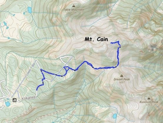
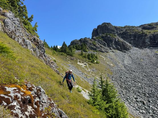
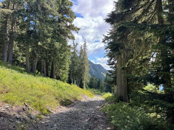
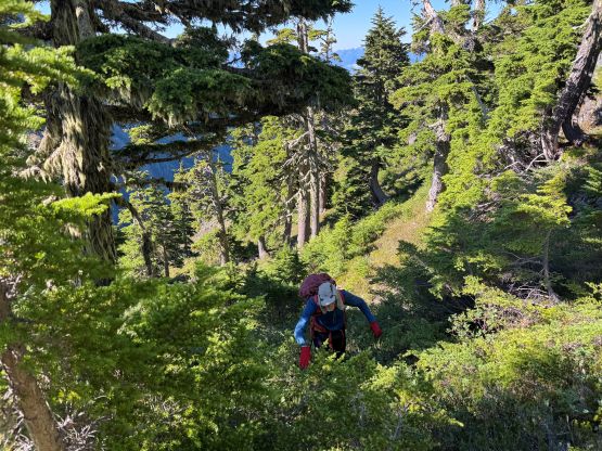
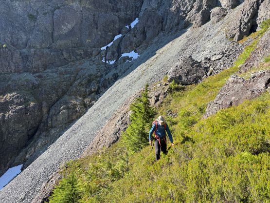
In terms of the gear we opted to bring one 60 m half rope, a single rack and rock shoes but we used nothing except for making a short rappel on the descent, and even that was debatable. The first stretch of the trip was plodding up the road and during which we met one grumpy local on his way down, presumedly after doing some morning exercise. I hoped he wouldn’t mind us parking in the middle of the ski run roads but we would discover that later upon returning. At the second-to-last switchback we left the road and went for a long side-hilling traverse eastwards towards “Stairmaster Col”. The “beta” for this section was not clear but I’d downloaded various map and satellite layers on both Gaia and Outmap apps (yes, I pay for both) and the navigation was not a problem. I actually managed to more or less keep the elevation and there was hardly any notable bushwhacking, at least by Vancouver Island’s standards. The most annoying was traversing some heather slopes but again, we were in the west coast so we expected that.
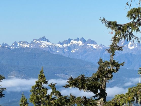
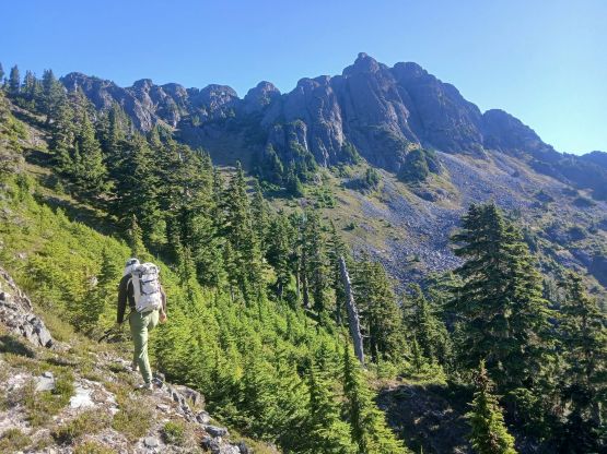
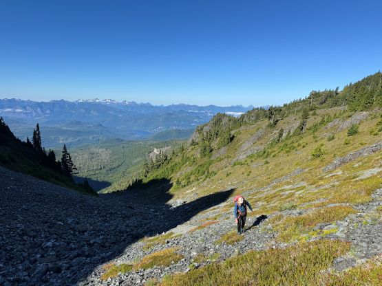
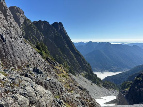
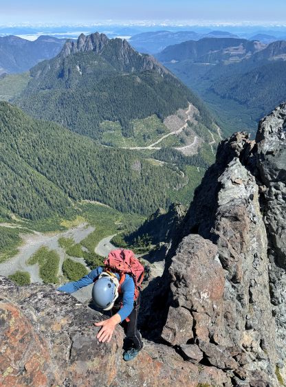
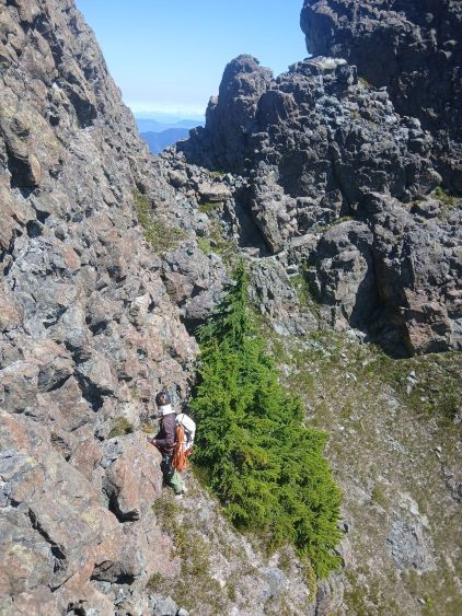
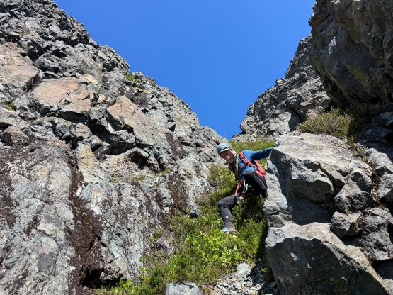
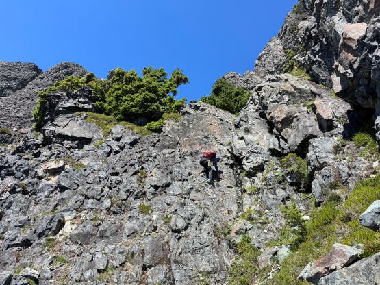
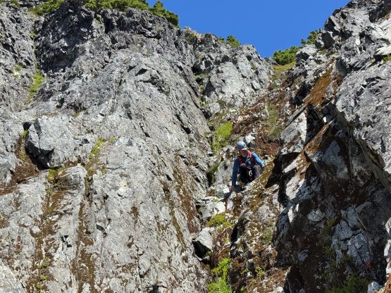
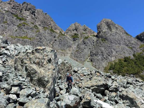
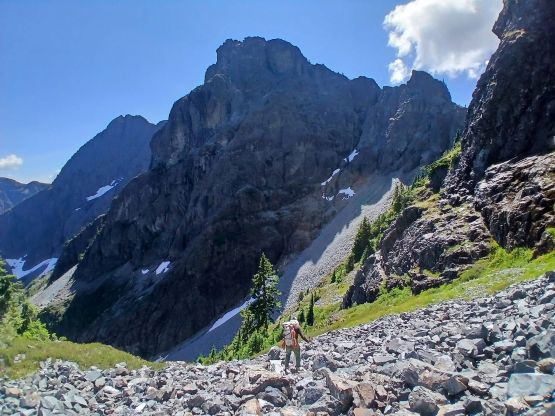
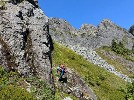
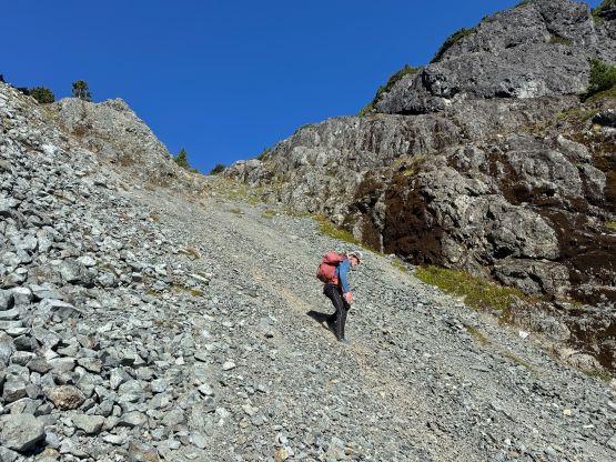
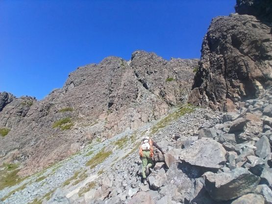
From the Stairmaster Col we had to wrap further around into the alpine bowl directly underneath the East/Main peak of Mt. Cain and the “Nameless Tower” and again, we had to figure out the way in situ. The east side of the col was already free of snow which was good, as we had taken a gamble for not bringing ice axes and crampons. However, the scree was quite compact and shitty. Thankfully we didn’t actually have to lose too much elevation down this chossy gully and were able to quickly make our way skier’s left onto some ledges. These ledges all “went” and we soon found ourselves grunting up the talus fields towards the “vegetated gullies” mentioned in the guidebook. These gullies appeared daunting from afar but I knew as soon as we stuck our noses in, the angle would immediately lay back to become “reasonable”. I was correct. We did don harness at the base of the gullies but they weren’t really needed. We stayed mostly on climber’s right but eventually worked our way leftwards upon exiting the gullies, and we never found climbing terrain. The moves were mostly 3rd class but the terrain was a bit slick and down-sloping. I also did at least two short stretches of 4th class but honestly they were probably avoidable with more careful route-finding. I sometimes liked to simply go “straight the fuck up” for simplicity on terrain that’s clearly within my comfort zone.
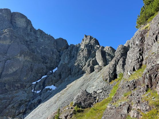
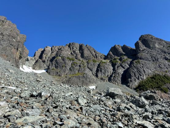
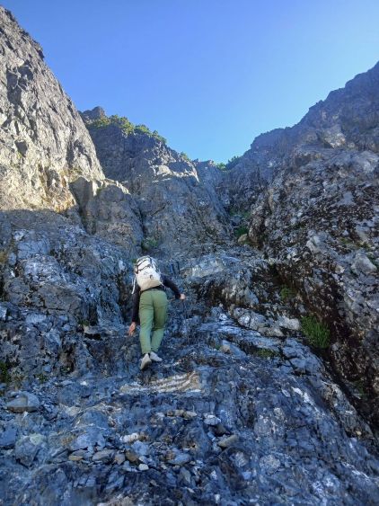
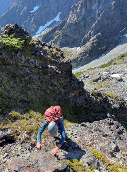
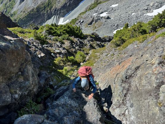
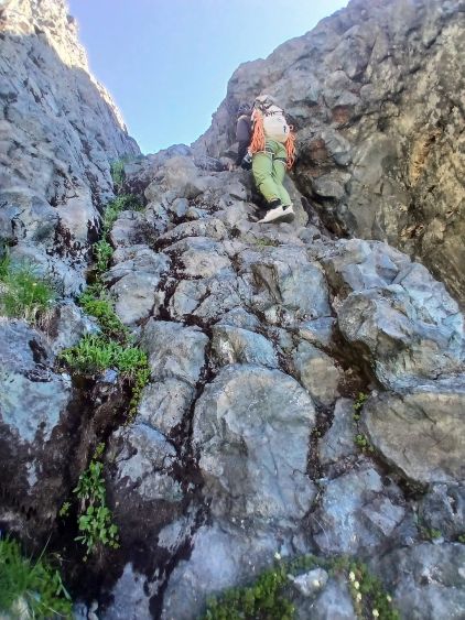
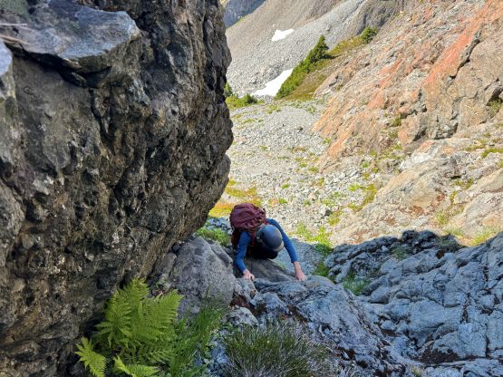
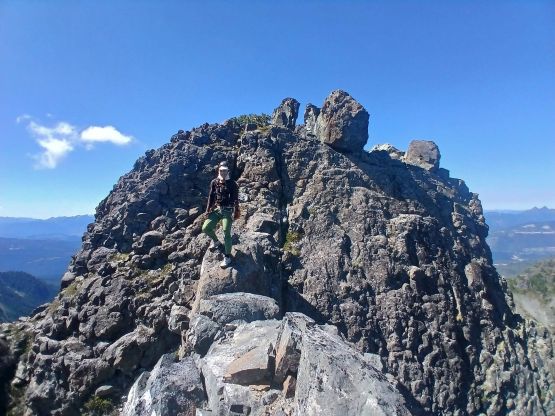
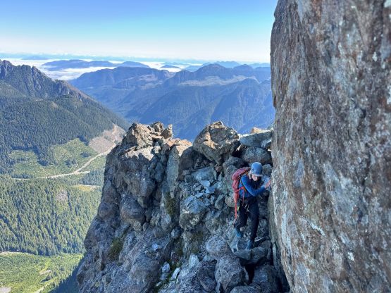
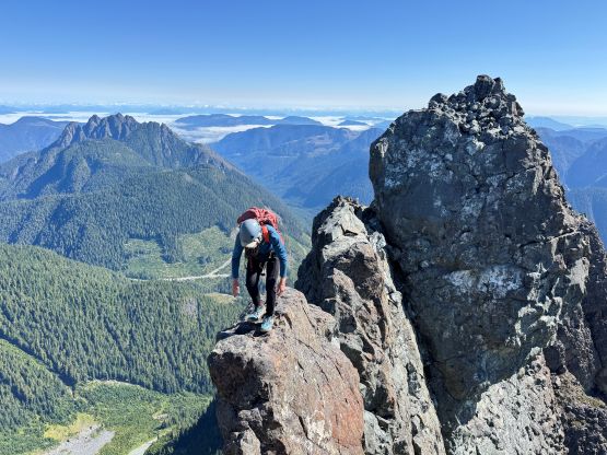
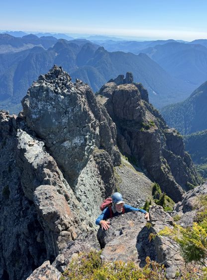
Upon topping the notch connecting the “Nameless Tower” we turned left, but then I found a narrow ledge on the south side of the ridge crest that clearly could bring us closer to the objective without too much difficulty. The ridge itself seemed jagged and honestly that’s probably where the 5.6 pitch was, but we never actually inspected it. A few exposed 4th class moves along the ledge later we scrambled up an exposed 3rd class corner and were then back on the ridge. Higher up we encountered one short chimney pitch that required a few climbing moves, and then there came the infamous “bridge” mentioned in Shaning’s trip report. The crossing was honestly straightforward despite the deadly exposure, and more traversing on class 3 terrain later we found ourselves standing on the summit. I wondered where the 5.6 pitch was as I surely did not encounter anything in that realm. Anyway we spent the next hour setting up the Trimble device and took various measurements. Rob concluded that Mt. Cain was also a few meters lower so Mt. Abel still holds the prominence. I was hoping for Mt. Cain to kill Mt. Abel but it couldn’t. The touristy west peak was also only marginally lower according to Rob’s hand level device.
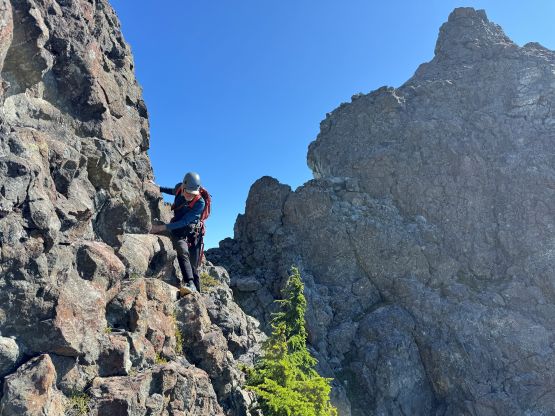
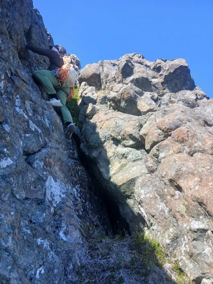
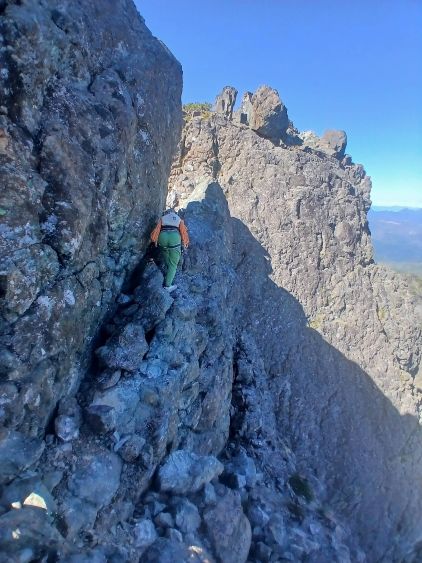
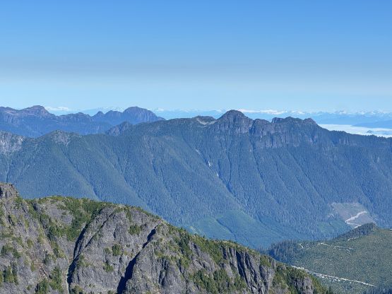
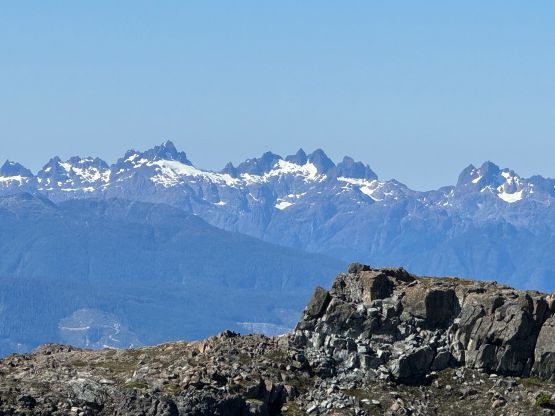
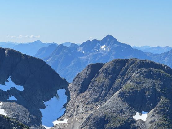
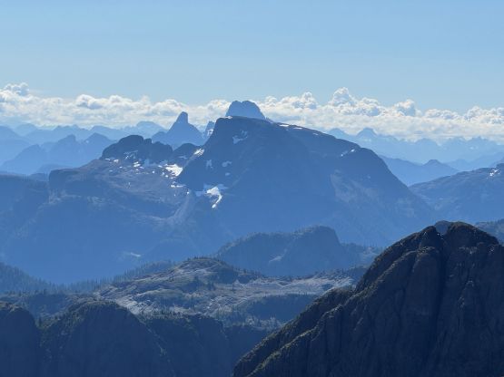
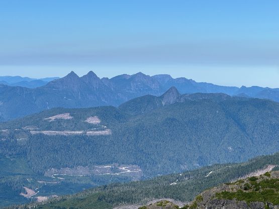
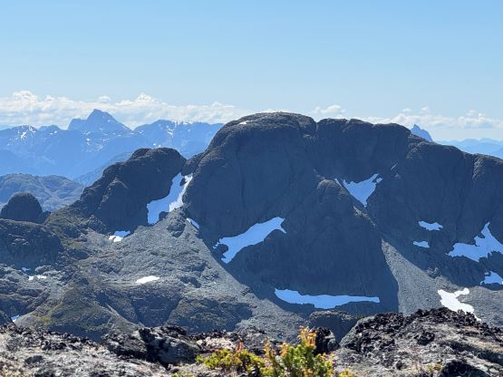
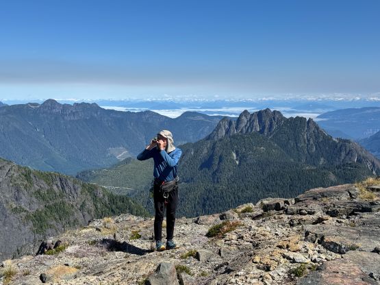
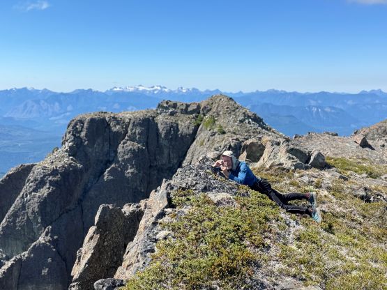
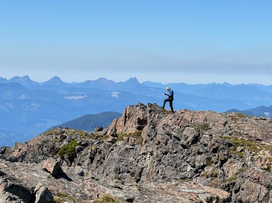
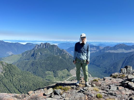
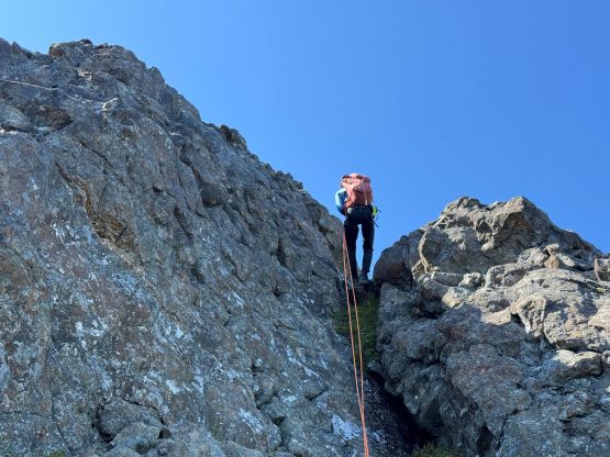
Eventually I thought we should slowly but steadily work our way down the route before we forgot the details. We were able to down-climb everything except for that chimney pitch. There was already a rappel station above the pitch so we opted to use that instead. The 60 m rope was definitely an overkill as I was sure the pitch could be descended in one 30 m rope. Lower down we reversed the ledge traverse and gingerly down-climbed the vegetated gullies back to where we cached the gear. A long break later we worked our way back towards “Stairmaster Col” and the choss was definitely annoying. The side-hilling afterwards was not much better but at least this was a short outing after all. We finished the round trip in 4 hours 40 minutes. I was worrying that the local might be doing something to my vehicle but it was still intact up returning, so maybe it was fine to drive all the way there or maybe he didn’t care. The day was still young and I didn’t want to kill the entire evening by doing nothing. After having a late but excellent burger lunch in Woss I decided to solo Mt. Hoy which Rob had already done, before driving to Sutton Peak’s trail-head for camping.