Kent Ridge, North Peak
December 17, 2014
2914m
Kananaskis – Smith Dorrien Valley, AB
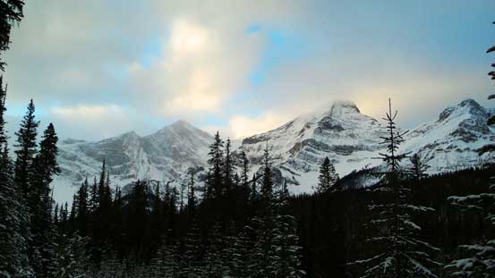
Despite the fact it’s essentially “unnamed”, this peak is higher than the officially named Mt. Kent. It locates on its northern end and is the highest summit on Kent Ridge, well documented in Andrew Nugara’s Snowshoeing in the Canadian Rockies book. It’s been on my radar as a winter snowshoe/scramble objective for a while, but for some reason I didn’t quite like the route described in Nugara’s book.
The standard route takes a direct line up and over the minor summit of “North Kent Outlier” and involves a tricky down-climb from Outlier to Outlier/Kent North col. A couple of my friends had done this route in the past year or two and judging by their photos it doesn’t seem very bad, but that section does involve crossing steep, thin and wind-loaded terrain. And this section is not visible until you get up the Outlier. So using one word to describe, it’s unpredictable.. When planning trips I tend to minimize those “unpredictable” factors so I came up with an alternate route that’d likely involve no avalanche risks, thank to Matt Clay’s photo.
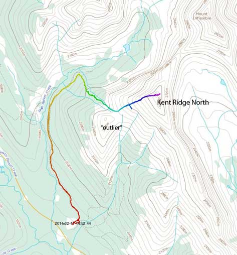
Kent Ridge North snowshoe ascent route. GPX DL
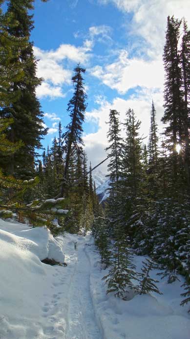
Taking advantage of the “breaks” between exams, my original plan was ascending this mountain together with my mom. But after spending half an hour snowshoeing on Sawmill trail she started feeling sick and wanted to go back, so I essentially did it solo. I followed the well-packed snowshoe/ski trail that’d eventually lead to James Walker cirque, all the way to the point I was directly underneath the long NW Ridge of Kent Ridge North. This is the key point for this route as I’d completely bypass “North Kent Outlier” all together.
Across the highway is the British Military Group – Mt. Smith-Dorrien et al.
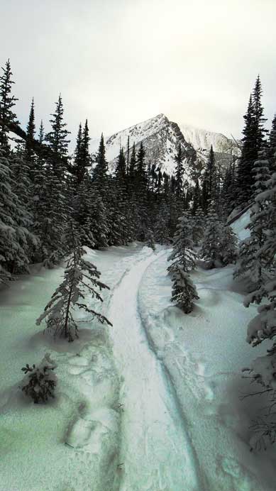
Following a well-packed snowshoe trail

Surface hoar!
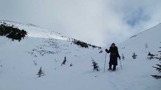
But the price I paid was endless post-holing and some tight bushwhacking for the next 1.5 hours. The rain and warm weather did solidify the snowpack a bit, but not areas near tree wells nor deadfalls. I constantly hit weak spots and sank passing my knees, and at the same time I had to brush off the snow on trees (otherwise I’d get soaked in no time). At times it became quite frustrating, but I overall had lots of experience with “snowshoe post-holing suffer fest”, so it wasn’t terrible. In just over an hour I came to treeline and now I had two choices. The safest route (presenting the alpine is wind-blown) is by turning left and hitting the rocky NW Ridge as early as you can. The route I took is by continuing to Outlier/Kent North col. I did have to travel through open slopes but the terrain wasn’t steep. The advantage of this route choice is that I could keep my snowshoes on. With the built-in crampon system and heal-lifts on my MSR Lightning Ascents it’s always a faster process to ascend on the ‘shoes.

Typical travel in the bush
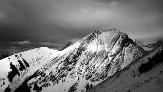
Looking over the shoulder of “North Kent Outlier”. Staying climber’s left will avoid these slopes.

An unnamed outlier just to the north

Travel towards the col
The view opened up once hitting the col, but weather wasn’t nearly as great as forecasted. It’s going to be a cloudy day, but oh well… I kept my ‘shoes on for a while until it became too rocky. The final slope to the summit of Kent Ridge North was as easy as one could expect technically, but very foreshortened. It’s 450 m elevation gain from the col to summit so I should have timed myself. With my pace it’d take about 1 hour even though the summit “appeared just in front”… Nonetheless I kept marching up, but unfortunately I entered the clouds near the top. The summit was cold, windy and white-out so after taking a few obligatory pictures I didn’t linger any longer.

The ascent slope of Kent Ridge North
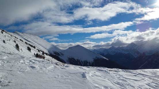
An unnamed peak to the north.

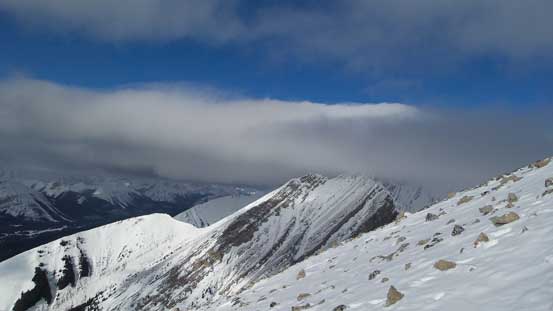
Looking back towards “North Kent Outlier”, showing the crux down-climb for the standard route
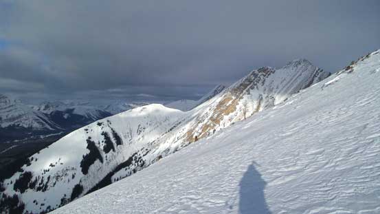
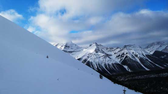
Another view from the ascent
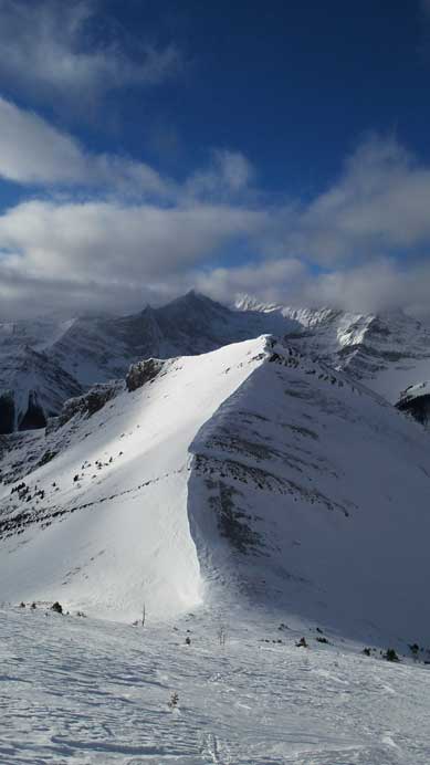
Neat looking ridgeline with the Outlier
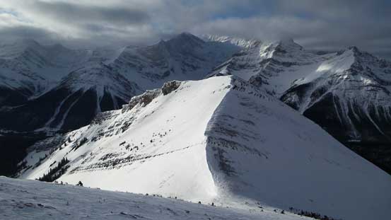
One more picture of the Outlier

As you can see weather wasn’t the greatest

Panorama from the summit, couldn’t see much. Click to view large size.

The big summit cairn

Could barely see the long valley between Lawson and Kent Ridges

Mt. Inflexible was hidden in clouds

A self-timed summit picture.
On the descent I was surprised to see mom following my tracks on her way up… I was very glad she managed to get above treeline so I could see her. Before that I wasn’t even sure if I’d take the same route on my descent… Descending the steep treed slope was a bit challenging for mom as a newbie snowshoeer but she overall did it well. The rest of the de-proach along James Walker/Sawmill trail went uneventful, but longer than I thought.
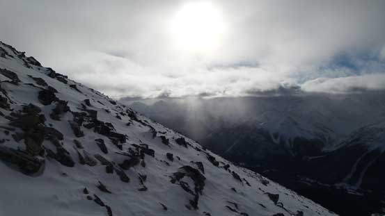
Sunbeam shone through clouds

Finally see some blue skies again
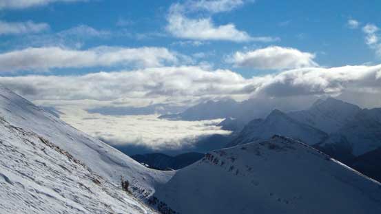
This picture shows the cloud layers… All the high peaks were soaked in

Mt. French briely showed up, bringing back some good memories
Low clouds hanging above the Kananaskis Lakes
A view from Kent North/Outlier col

North Kent Outlier

Looking back towards the col
I re-joined mom at near treeline

Mom demonstrating a snowshoeing “technique”. Not the best but worked…
Back to Sawmill trail

Looking back at my objective from the parking lot.
Overall it was a good day to be out in the mountains. Speaking the route I took I don’t know if I’ll highly recommend it. The standard route up and over the Outlier is shorter, physically easier and also more scenic, but my alternate route did avoid that “crux down-climb section”. Our round trip time was 6.5 hours so it’s overall not that long anyway…
