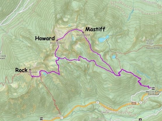
Mount Mastiff, Mount Howard and Rock Mountain
September 24, 2023
2153m
Stevens Pass / US-2 Corridor, WA
These group of peaks locate on the east side of Stevens Pass and can be easily accessed via trail system off US-2. Mt. Howard is the highest of the three and subsequently boasts over 800 m prominence. The original plan was to only do Mt. Howard but knowing the overall ability of the group I proposed that we should at least also do Mt. Mastiff. In the end we jacked up the ambition to include Rock Mountain, turning a leisure hike into a demanding outing. The most ideal way to tag all three of them in one day is to do a point-to-point traverse with two vehicles. Doing it with only one vehicle added considerable amount of distance and elevation gain. Unfortunately I did not pick this objective until a few days prior to the trip so there weren’t a ton of time to research. I reached out to Kostya and he instantly found two more volunteers to join. I had never met Z.M. nor Rex but Kostya assured me that both of them are fast. I actually don’t care that much about the speed, but if we had a faster team then we should do more than one peak.
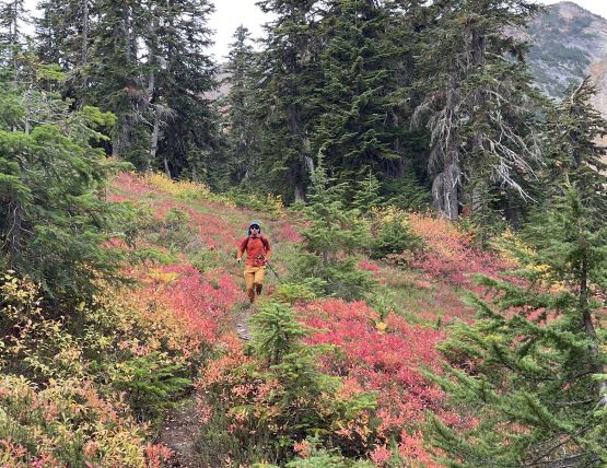
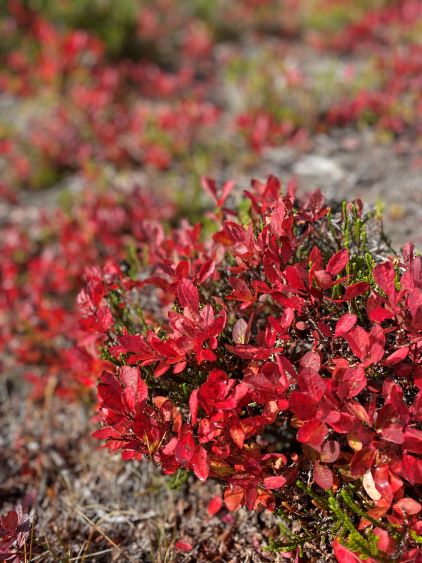
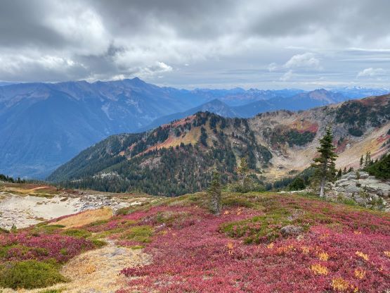
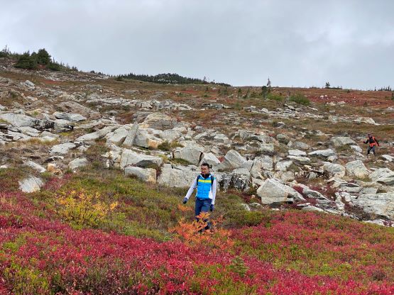
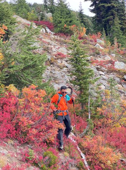
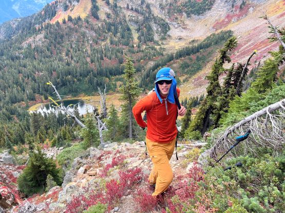
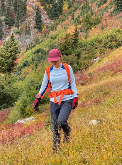
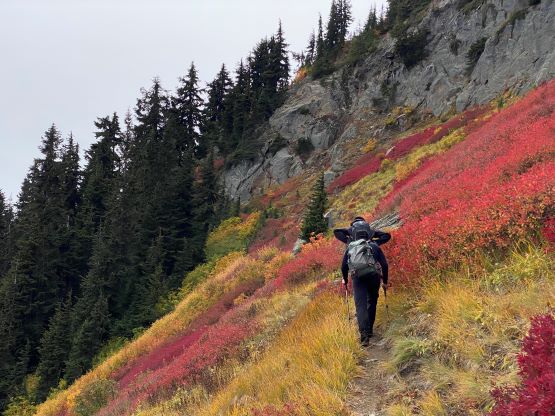
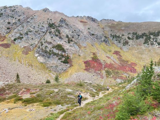
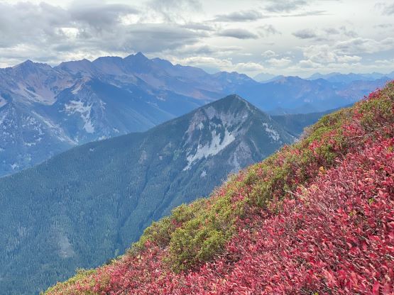
In any case the four of us gathered in White Rock at 3:30 am and I drove us a few hours south and then eastwards. The weather was more promising in the morning so I made the call to start early to take advantage of that. I was not anticipating a lot of views to be honest, but this trip turned out to be quite scenic with lots of fall colours. The drive was a little bit slower than I thought because we needed to stop a few times for gas and breakfast. The unpaved road to Merritt Lake trail-head was also rough. It was definitely the correct call to bring the Tacoma all the way down there even just for the final few kilometers. I don’t think we could otherwise drive to the trail-head in Kostya’s Tesla.
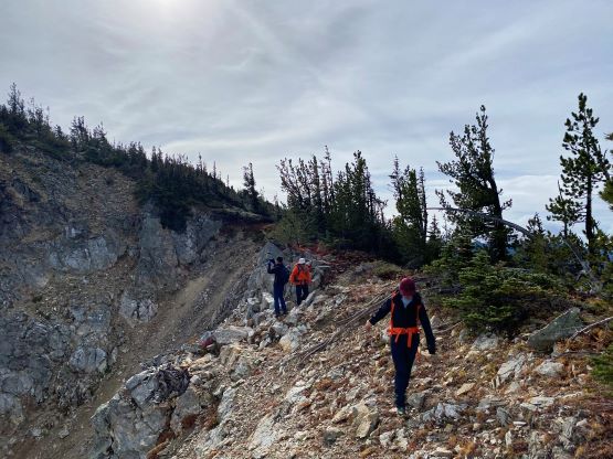
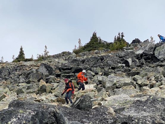
There’s considerable amount of elevation gain to reach the first junction of the trail where the smaller trail branches off to the left onto “Nason Ridge”. The main trail continues rightwards towards Merritt Lake and judging by the reference GPX track I’m sure many people made a mistake here. We paid attention to the GPS so correctly located this turn-off. The trail beyond this turn-off was slightly overgrown. There wasn’t any “thrashing” but the leaves were extremely wet from the recent precipitation, that we all got somewhat soaked. The next junction was on the ridge crest where we must pick up the unsigned and unofficial path heading upwards towards Mt. Mastiff. This path would be difficult to locate without the GPS device and even with the GPX track it was not obvious. We ended up doing some unnecessary bushwhacking before finding that trail. This unofficial trail brought us up along the broad and forested ridge and the ridge was quite long and undulating. One section in the middle required scrambling and detouring to the north side. The scrambling was “class 2” at most if one’s willing to stay on the easiest path, but we all did some harder moves for fun. The rest of the ascent to Mt. Mastiff was a slog and not particularly enjoyable.


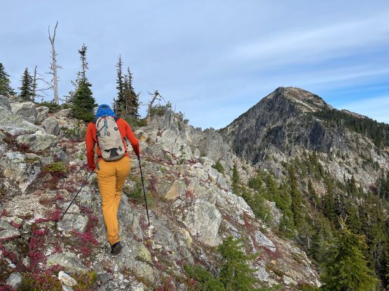


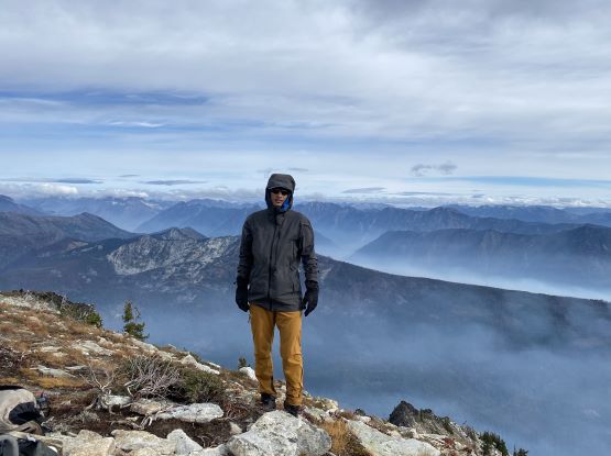
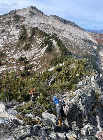
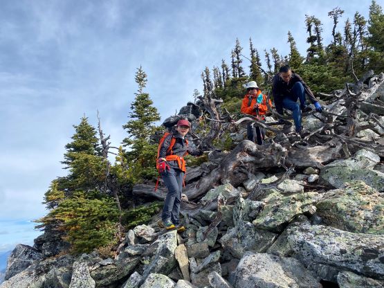
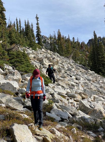
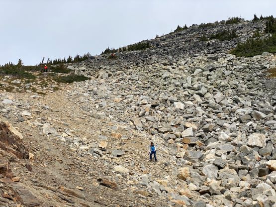
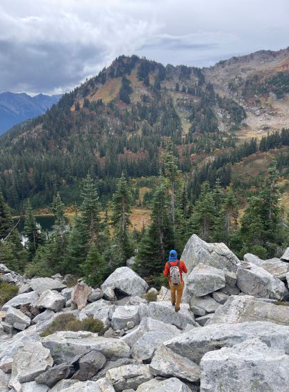
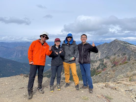
The summit of Mt. Mastiff was the least interesting among the three so we didn’t linger too long up there. The easiest way to connect this peak towards Mt. Howard was to descend the south-west slopes but we decided to stay closer to the connecting ridge. We encountered some boulder fields and thrashy areas but otherwise the scrambling was still straightforward. Lower down near Mastiff/Howard col I led us descending a boulder field veering off the ridge crest, and brought us to the easy NE slopes of Mt. Howard. The ascent of Mt. Howard from here was tedious but straightforward. There was nothing worth noting except for perseverance. The summit was cold and windy, so again we only stayed for about half an hour up there.


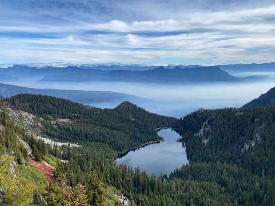
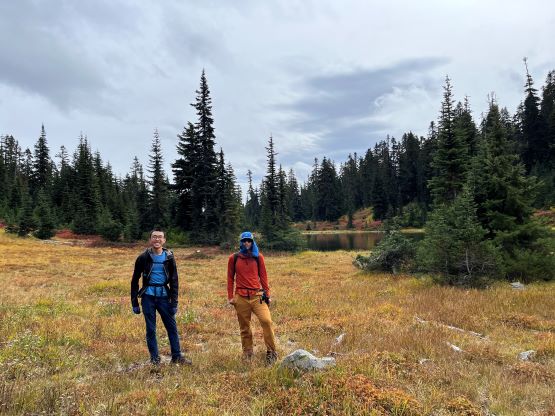
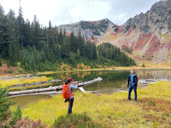
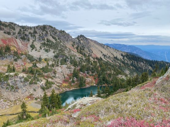
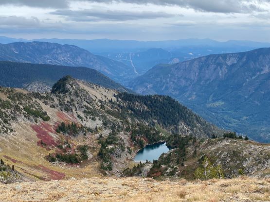
Rex had done more research and warned us a few times that the descent off the south slopes of Mt. Howard would be the “crux”. I did not think so because it seemed rather tame on the topo maps, but he was correct. There’s no established route and we had to navigate through a few steeper stretches. We mostly descended straight down towards the lake but some steeper gullies forced us traversing skier’s right. I did not bother to search for the easiest way so we did some scrambling here and there. The grass was also quite slippery at places. Near the bottom of this face I somehow got us sucked into some dense alders. I knew by traversing further skier’s right we should be in open terrain, but I also wanted to introduce this bushwhacking thing to the group, so we went straight down. To relocate the trail we traversed around the lake’s shore and hopped across the outflow. I had decided to bring a water filter because I knew we would go by this lake and it’s the only reliable water source. A few of us spent a few minutes there refilling the water bottles.


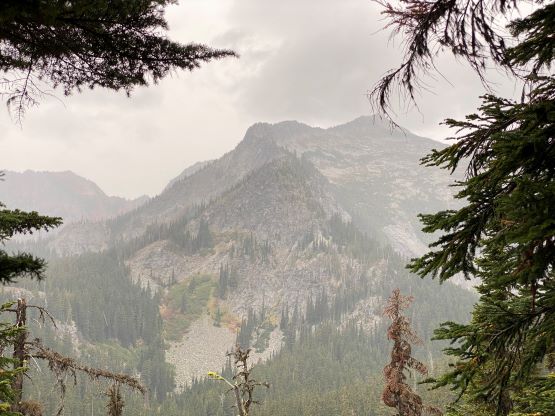
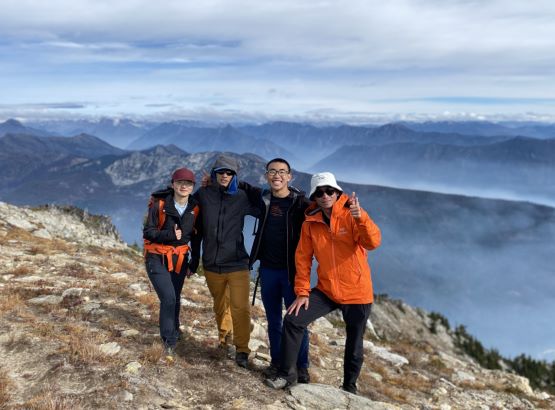
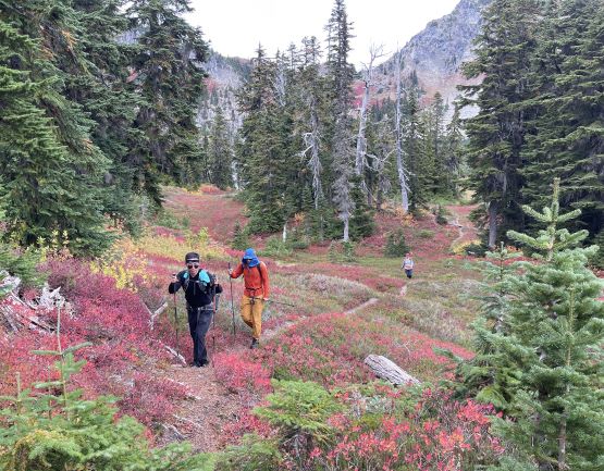
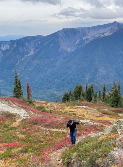
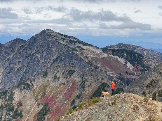
The final decision was made to include Rock Mountain but having only one vehicle we must do an out-and-back kind of dash from this spot. The trail was again, more overgrown than anticipated, but thankfully the leaves were mostly dry by this point. There were also some annoying up-and-downs that I had never thought about. I knew we’d be dealing with up-and-downs on the way back to the parking lot, but I wasn’t expecting undulating terrain en route to Rock Mountain. This was shaping up to become a big day, but we had made the decision so we must carry on. I had previously thought about to do Rock Mountain in winter on snowshoes, but there’s one worrisome slope and I could confirm that slope is indeed in avalanche terrain. Nonetheless Kostya and I went ahead and set a blistering pace and in short time we all arrived at the summit. To our surprise we encountered two solo hikers and one dog.


After almost an hour socializing on the summit we decided to descend. We were doing great on time, but the weather was closing in and there was rain in the forecast in the afternoon. Indeed, the rain started after we dashed back to that lake and lasted for the rest of the day. I mostly followed Kostya trail running most, if not all of the downhills. That 200-m uphill in the middle of the descent was surely annoying, but provided some variety and relieve to our knees. We eventually finished the round trip in under 10 hours, but over 3 hours were “stopping time” meaning we took some lengthy breaks here and there. The rain had thoroughly soaked the vegetation so we were all soaked to the bone, but thankfully we brought changing cloths in the vehicle. Kostya and I took turn driving us back to Everett area for a much-needed dinner, before resuming the long drive homewards.