Mount McNab
February 16, 2014
1691m
Kananaskis – Sheep River, AB
Mount McNab is one of the smallest objectives in Kananaskis’ foothills. I totally agree with Bob Spirko that peaks like this are better saved for days with low motivation and energy. This was indeed the case on this second day of Family Day long weekend due to the bad avalanche condition and questionable weather forecast. Vern and I tried it earlier in the morning but turned around by a heavy snow storm. I’m not saying we couldn’t ascend it in bad weather. The summit is treed so offers pretty much no view anyway. We were actually worrying about the driving condition as a storm like that would get us stuck within a couple hours. The forecast was only calling for about 1 cm of flurries but what if it’s wrong… After bagging a even smaller alternative objective, Mesa Butte, the weather improved and we returned to ascend Mt. McNab.

Mt. McNab hiking route
Unlike Bob Spirko’s suggestion to park at the winter closure gate, we could actually drive down to Sandy McNab picnic area which saved some distance and elevation regain at the end of the day. There’s one steep and icy hill to descend and I’d suggest you have winter tires for that section. My car could barely gather enough grip on the way back up that hill.. For the ascent itself, after strapping the snowshoes on, the first thing to do was losing about 50 m elevation to Sheep River. There’s a road to follow but we decided to short cut it on a steep trail. The river was well frozen. There was even a set of ATV tracks on the ice/snow…
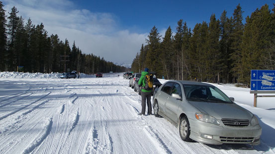
At the Sheep River Road’s winter closure gate. We would turn left and park at the low parking lot

Crossing Sheep River. Note the ATV tracks
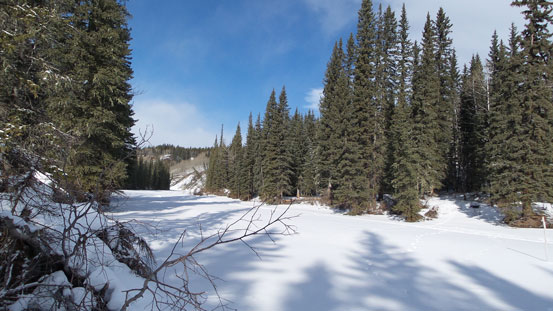
Sheep River
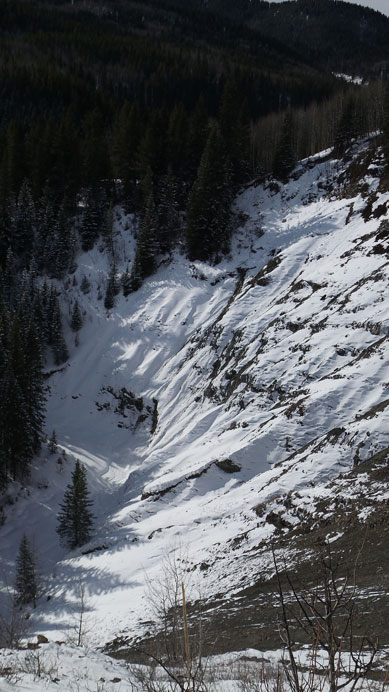
The temperature was high and sun was strong. Snow quality was terrible that every step we post-holed to the ground. Thankfully we managed to pick a set of old snowshoe tracks which saved a lot of energy. It was initially a maze but soon got clearer and we managed to actually follow it up the ascent ridge. Higher up the snowshoe tracks disappeared but snow depth also got much shallower. There’s a big erosion feature along the way but other than that the views were minimal. Near the false summit there was also a field of dead-falls to negotiate. It would help if we got more snow but I think this area rarely gets more snow than this unless right after a big dump. The true summit was a slog to get to and once getting there we couldn’t see much of a thing…
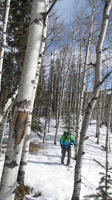
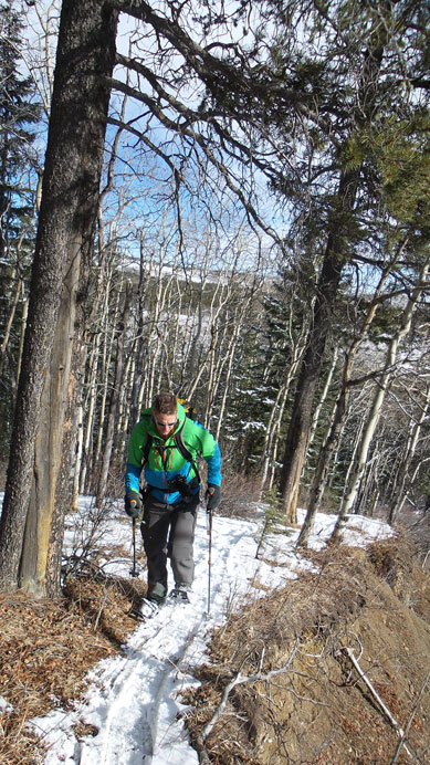
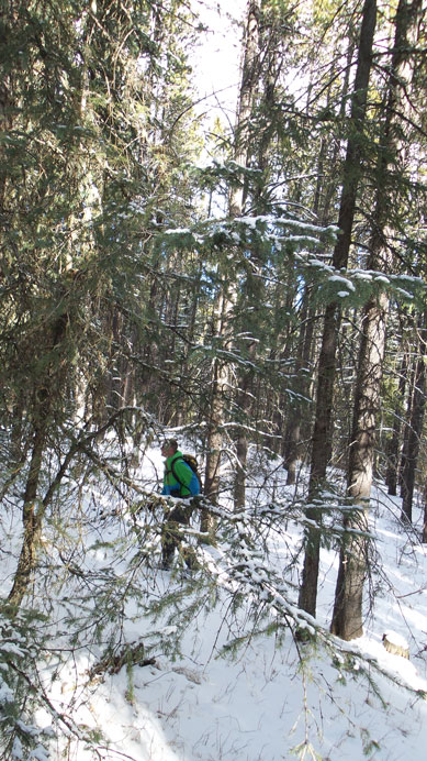
An old snowshoe track led us up the forest
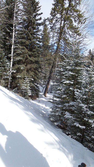
Typical forest
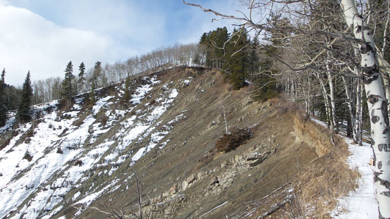
We came to this erosion bank
Looking down the bank
Snowshoeing along the edge

Looking back
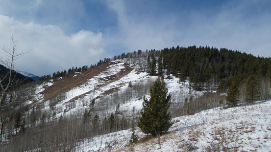
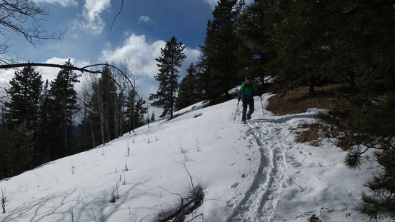
False summit ahead
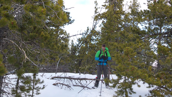
Some bush but not too bad
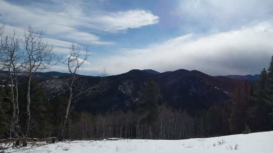
Probably the best view we could get…

Probably Shunga-la-she but not sure. I need more trips in this area to get familiarized with those peaks
Vern on the summit. Great views…
Going down..
Going down we retraced our steps and it was fast going (except for the elevation regain near the end which was frustrating). Our round trip time was 2 hours. Overall it’s more of a peak to bag for some exercise. Don’t expect much in terms of views and I wouldn’t recommend it.

This is a much nicer route in the winter if you can go up the coal creek to the south side of McNabb. Then, at the confluence from the west, you can come straight up a long dry rib, to the summit from the south exposed side. We’ve done this in winter with bare route and better views along that the whole way and more enjoyable for sure. We then leave the summit to the west and circle around the small ridges back towards the north to connect the price camp trail back to sandy mcnabb. makes for better views, longer route and coal creek is quite nice in winter, but watch for breather holes.
Hi Mike, Nice to know that there’s actually some more scenic route up this little peak.