Mount Bigelow
March 20, 2017
2603m
Tucson / Santa Catalina Mountains, AZ
Mt. Bigelow is one of the tallest peaks in the Santa Catalina Mountains north-east of Tucson, but despite that the summit is still rounded and forested and generally lacks mountaineering interest for any kind. The ascent is a mere stroll from one of the trails on the Incinerator Ridge, or by simply driving up a dirt road. I ascended it together with the nearby Kellogg Mountain as part of the peak-bagging slam along Mt. Lemmon Highway.
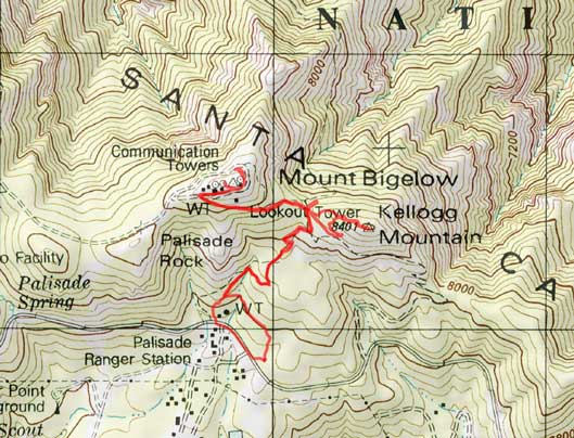
Kellogg Mountain and Mt. Bigelow ascent route. GPX DL
From Kellogg/Bigelow col I picked up the Incinerator Ridge trail and followed it to the summit plateau without much of a problem. There’s a massive communication facility on the summit and the true highest point is probably inside the structure. I went around it anyway but the views were quite limited.
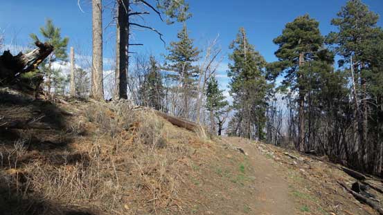
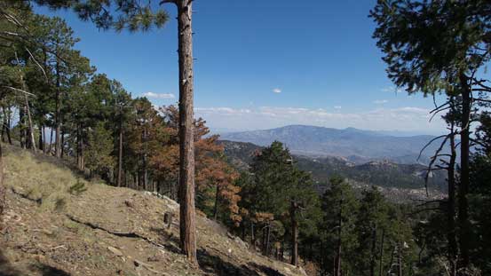
The typical scenery on the approach trail
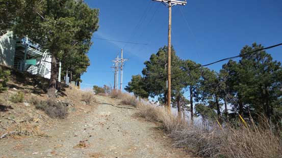
Joined the road now and almost at the top

Massive structures on the summit
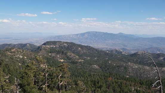
Green Mountain in the foreground and Mica Mountain on the skyline
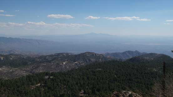
Looking south towards the city of Tucson with Mt. Wrightson behind

In the foreground is the lowly summit of Kellogg Mountain
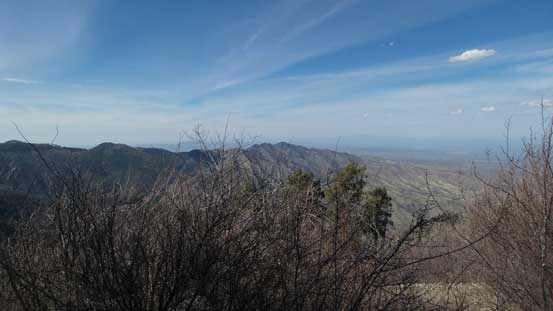
This is looking north from the summit into San Pedro Valley
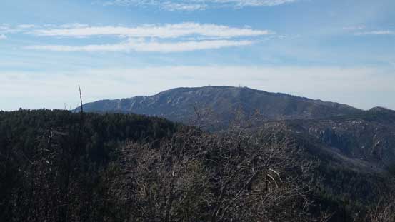
Mt. Lemmon is the highest in Santa Catalina Mountains
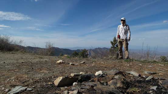
Me on the summit of Mt. Bigelow
After taking enough photos I leisurely went back down. Near the bottom I lost the trail for some reasons and might have picked a wrong set of path which dumped me directly by the ranger station. This meant I’d have to walk backwards along the road to the parking lot which was pretty quick anyway.
Heading down

Almost back to Kellogg/Bigelow saddle

I briefly went down the north side of the saddle for more views
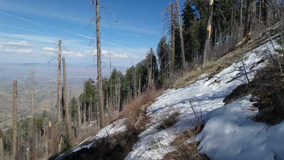
There’s still snow on the north side…
Now with 4 peaks bagged I still wanted more. It’s time to move on and the next objective – Spencer Peak.
